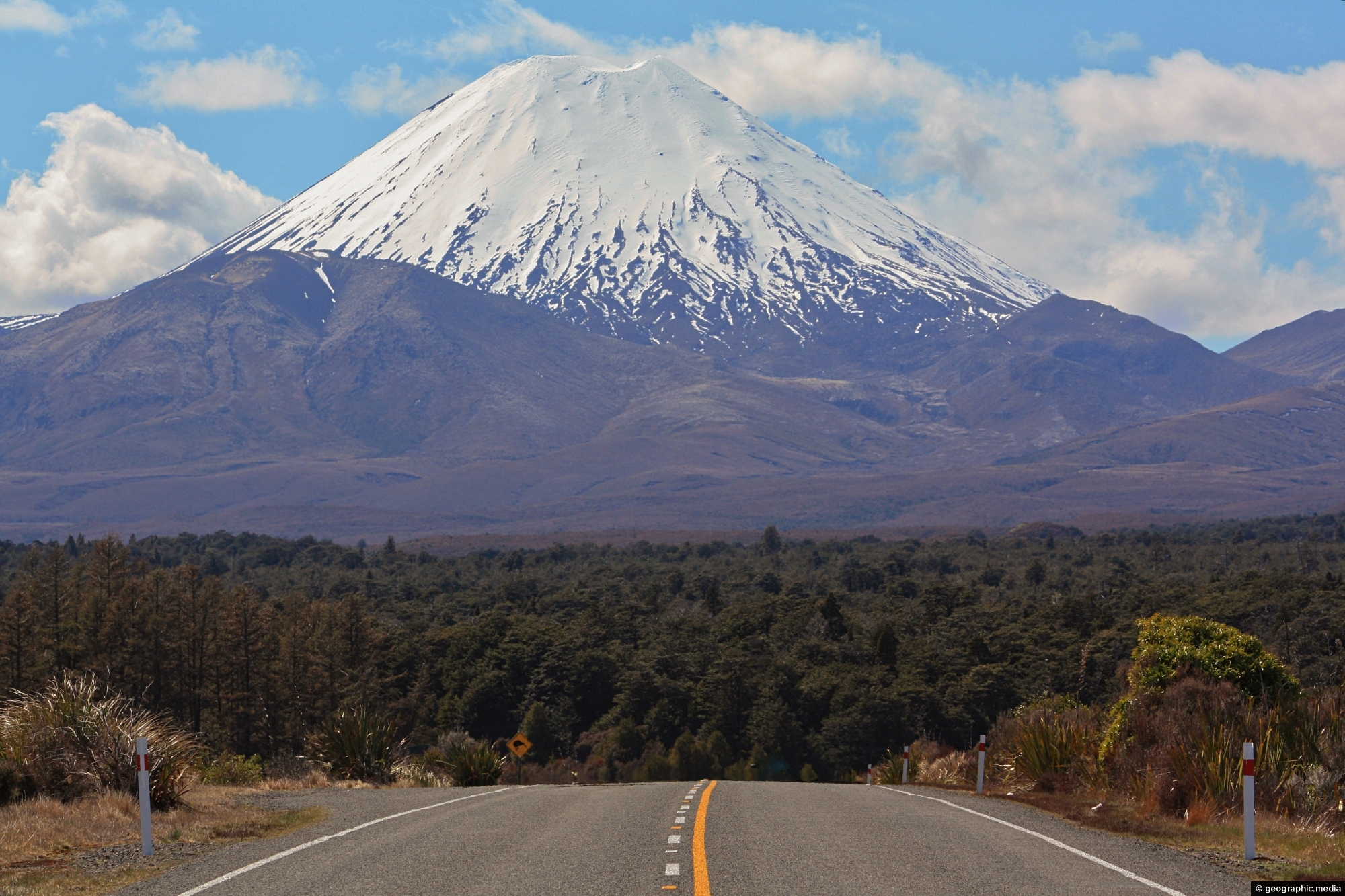
Mount Ngauruhoe comes into view on State Highway 47 in Tongariro National Park. The volcano is part of the Taupo Volcanic Zone and is
recognized by its near-perfect conical shape.

Mount Ngauruhoe comes into view on State Highway 47 in Tongariro National Park. The volcano is part of the Taupo Volcanic Zone and is
recognized by its near-perfect conical shape.
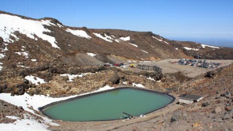
View of Turoa Ski Field Car Park behind a small lake on the side of Mount Ruapehu. During winter,...
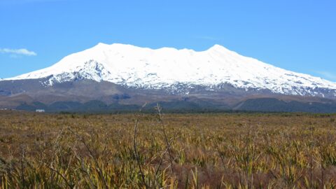
An unobstructed view of Mount Ruapehu in the central North Island from a large wetlands area containing native grasses....
Below Mount Ruapehu and on the lower flanks are areas of native forest. There are a number of trails...
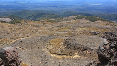
View of a lava field on the southern slopes of Mount Ruapehu. Created by an eruption where lava flowed...
The Ohakune isite Visitor Information Centre specialize in local insights and advice for travelers exploring the Ruapehu region. They...
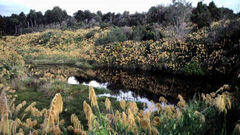
Looking at a swamp covered in toetoe in Tongariro National Park. Toetoe, also known as Cortaderia toetoe, is a...
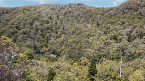
While much of the landscape around Mount Ruapehu consists of low scrub and tussock, there are also some tracts...
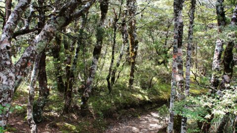
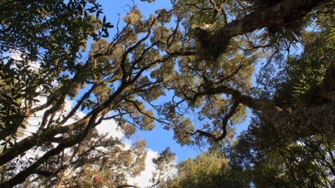
Looking up at the canopy of a forest on the lower flanks of Mount Ruapehu. These are predominately mountain...

