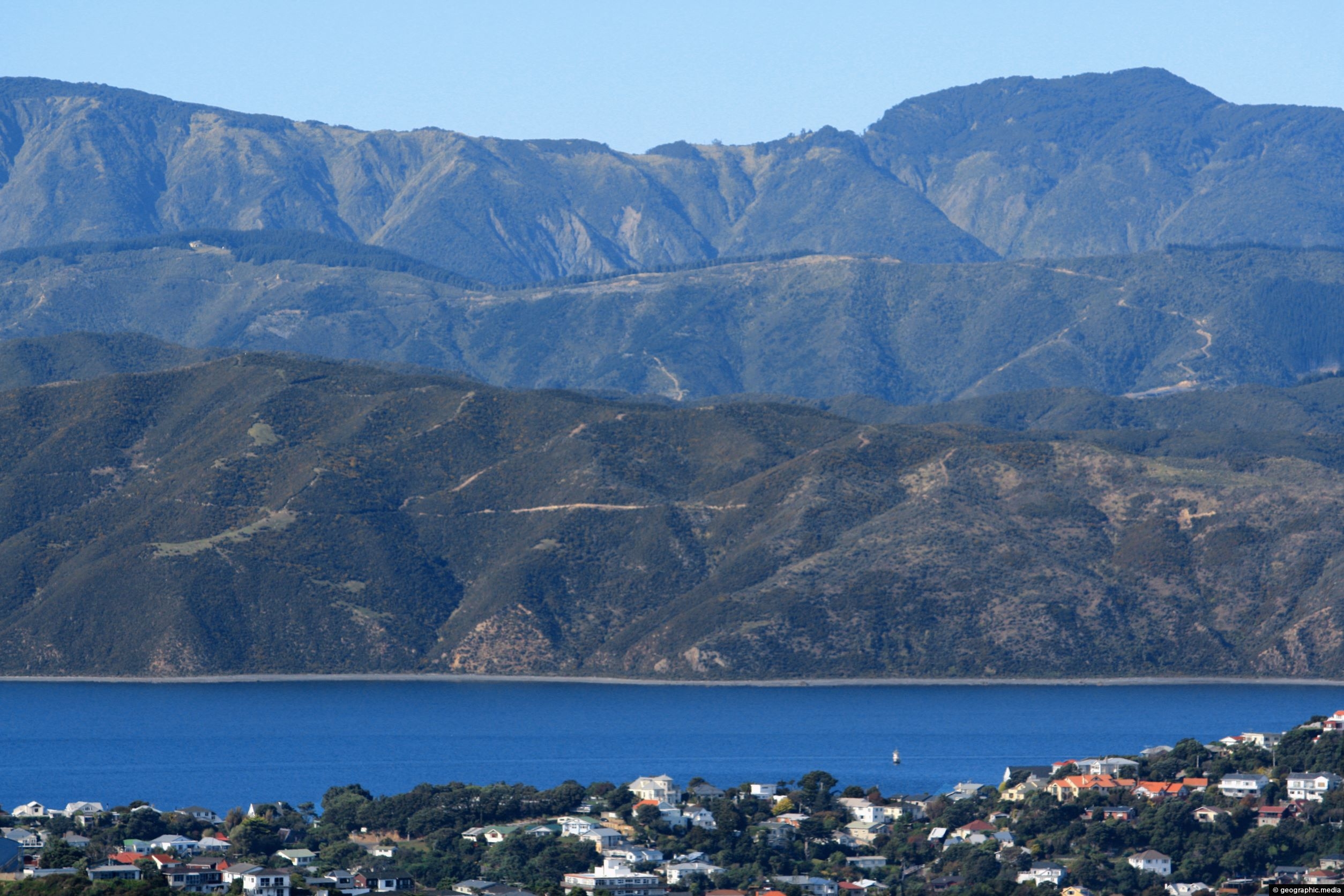
View from Mt Victoria looking past Wellington Harbour toward coastline near Eastbourne and the Remutaka Range in the background. The tallest peaks in this range rise to just under 1000 metres above sea level.
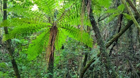
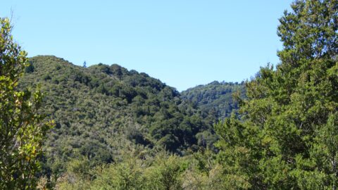
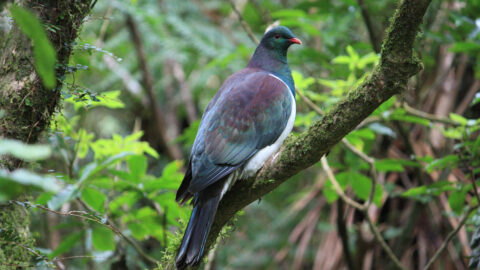
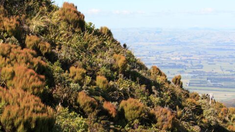
ALL / Explore Oceania / Explore New Zealand / New Zealand Photos / Remutaka Range photos / Remutaka Range and Wellington Harbour
All original royalty-free photos, shareable maps, and informative articles.
Remutaka Range and Wellington Harbour
Page Views
This post has been viewed 235 times
Related Articles
-
Natural Swimming Area
Remutaka Range photos, Forests, Portrait / Vertical, Rivers
A natural swimming area in Wainuiomata Regional Park. This is Wainuiomata River which has numerous swimming areas.
-
Trees Growing out of a Slip
Remutaka Range photos, Extra Wide Horizontal, Forests, Trees
These trees moved down a steep hillside due to a slip or small landslide. The trees appear to have...
-
Remutaka Hill Road
Remutaka Range photos, Forests, Landscape / Horizontal, Mountains, Roads
View of the Remutaka Hill Road which connects Wellington to the Wairarapa. The road also marks the boundary between...
-
Black Tree Ferns
Remutaka Range photos, Ferns, Forests, Portrait / Vertical, Trees
View of black tree ferns in the Remutaka forest. Known by its botanical name as Cyathea medullaris, it is...
-
Remutaka Forest Park
Remutaka Range photos, Forests, Landscape / Horizontal
Looking at the Remutaka Forest Park near the entrance on the Coast Road in Wainuiomata. The park contains numerous...
-
New Zealand Pigeon
Remutaka Range photos, Animals, Birds, Landscape / Horizontal
The New Zealand Pigeon (Maori: kererū) is endemic to New Zealand. They are a large bird with iridescent green...
-
Mountain Slope
Remutaka Range photos, Landscape / Horizontal, Mountains
A mountain slope in the Remutaka ranges with the Wairarapa plains in the background. This range separates Wairarapa to...
-
Catchpool Valley View
Remutaka Range photos, Forests, Portrait / Vertical
Perspective of Catchpool Valley in Wainuiomata, observed from the Five Mile Loop Track. The path swiftly delves into a...
0 Comments
Latest Posts
Popular Posts
- Awakening New Zealand video (100)
- Iguazu Falls as seen from Brazil (86)
- Metrocable Medellin (77)
- Spinnaker Hill View (68)
- Spinnaker Hill in Whitby Porirua (68)
- Pauatahanui Inlet (68)
- View from Whitby (68)
- The Devil’s Throat (62)
- Aerial View of Iguazu Falls (61)
- Porirua Harbour & Papakowhai (57)
- Lake Wakatipu (57)
- Salto Rivadavia & Iguassu River (56)
- Lake Tekapo & Lupins (54)
- Cascadas at Iguazu (53)
- Close up of Salto Rivadavia (53)
- Salto Rivadavia Misiones Province (53)
Subjects
AccommodationAnimalsArchitectureBeachesBirdsBoatsBridgesBuildingsCarsChurchesCitiesCliffsCoralCultureExtra Wide HorizontalFlowersForestsHarborsHomesIslandsLakesLandscape / HorizontalMapsMenMonumentsMountainsPalmsParksPeoplePlantsPortrait / VerticalRiversRoadsRuralSeaShopsSkyscrapersSnowSunsetsTownsTransportTreesVideosVolcanicWaterfalls
Recent Comments
- Lance on Concrete Hut Wainuiomata
- DavidJ on Concrete Hut Wainuiomata
- Tony on Concrete Hut Wainuiomata
- DavidJ on Wellington Night Skyline
- Ben on Auckland City Skyline from Westhaven Marina in 1998