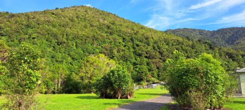
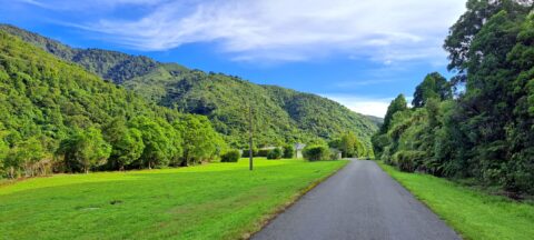
View of the Remutaka foothills located inside Wainuiomata Regional Park. The park borders one of the most extensive tracts...
ALL / Countries February 18, 2023
All original royalty-free photos, shareable maps, and informative articles.
February 18th, 2023
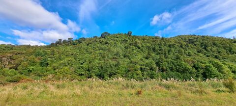
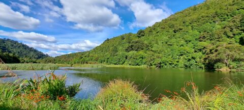
View of a field containing toetoe. Toetoe is a type of grass native to New Zealand and is similar...
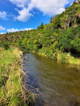
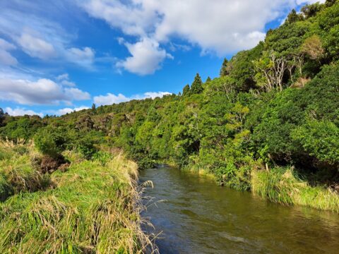
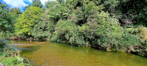
Looking at an almost inaccessible part of the Wainuiomata River. There are no tracks leading here, but you gain...
View of the upper reaches of the Wainuiomata River at the foothills of the Remutaka mountain range in the...
View of Waterworks Road, a private road. This location looking back from the end of the road where a...
The suburb of Wainuiomata was largely comprised of swamp. in 1855 a massive 8.2 earthquake raised much land above...
Looking at the upper reaches of the Wainuiomata River at the foothills of the Remutaka range. Access to here...
Popular Posts
- Awakening New Zealand video (100)
- Iguazu Falls as seen from Brazil (87)
- Metrocable Medellin (78)
- Pauatahanui Inlet (69)
- View from Whitby (68)
- Spinnaker Hill View (68)
- Spinnaker Hill in Whitby Porirua (68)
- The Devil’s Throat (62)
- Aerial View of Iguazu Falls (61)
- Lake Wakatipu (57)
- Porirua Harbour & Papakowhai (57)
- Salto Rivadavia & Iguassu River (56)
- Lake Tekapo & Lupins (54)
- Nelson View (53)
- Cascadas at Iguazu (53)
- Close up of Salto Rivadavia (53)
Subjects
AccommodationAnimalsArchitectureBeachesBirdsBoatsBridgesBuildingsCarsChurchesCitiesCoralCultureExtra Wide HorizontalFlowersForestsHarborsHomesIslandsLakesLandscape / HorizontalMapsMenMonumentsMountainsPalmsParksPeoplePlantsPortrait / VerticalRiversRoadsRuralSeaShopsSkyscrapersSnowSunsetsTownsTrailsTransportTreesVideosVolcanicWaterfalls

Recent Comments