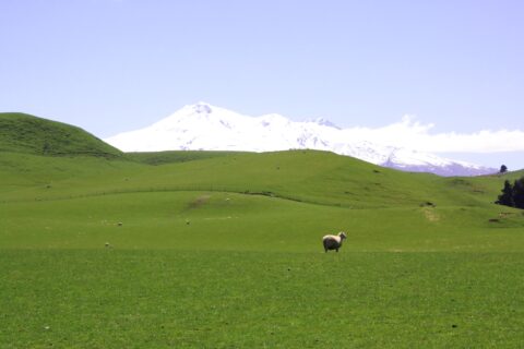
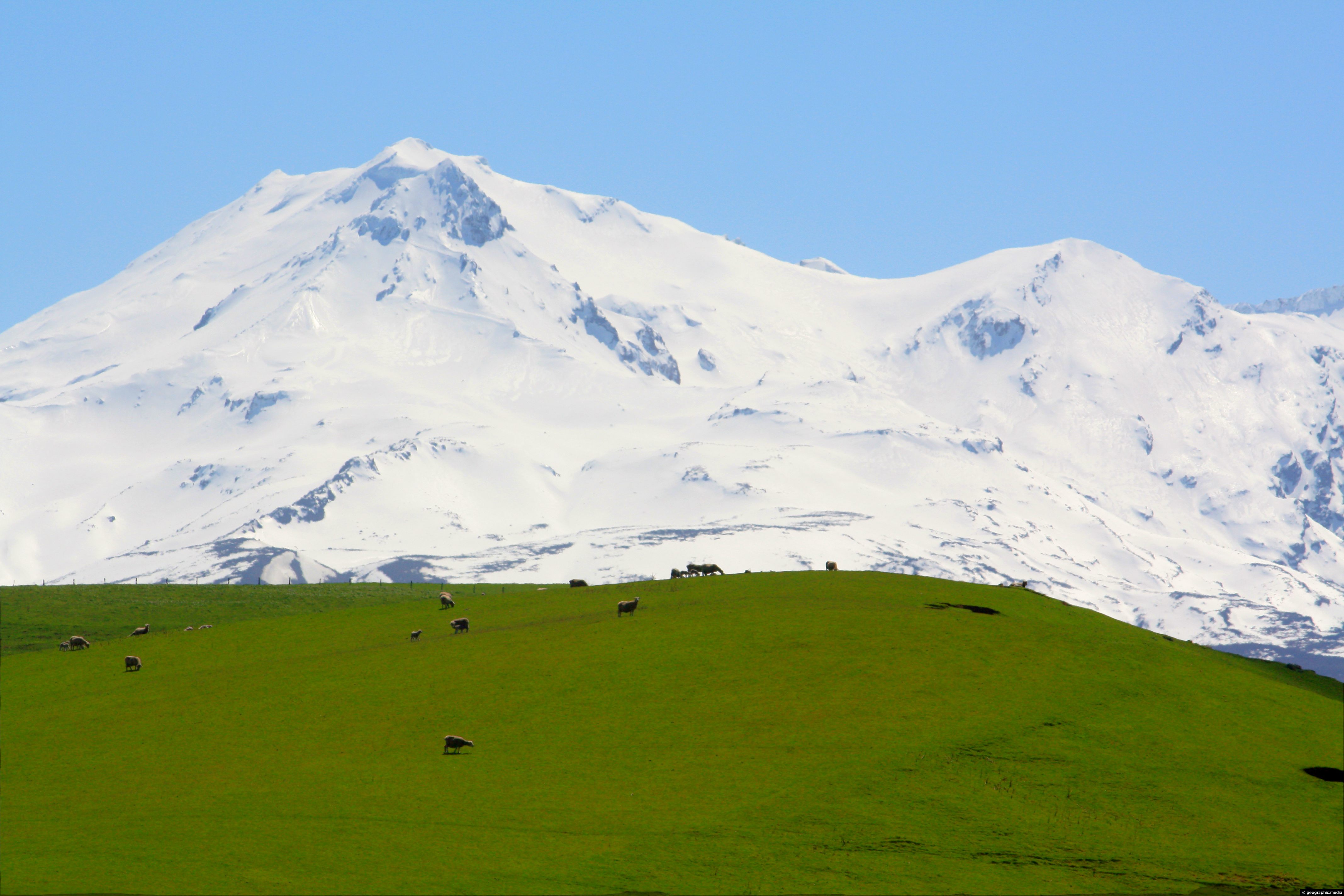
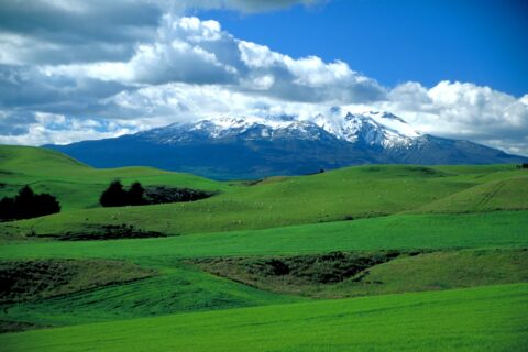
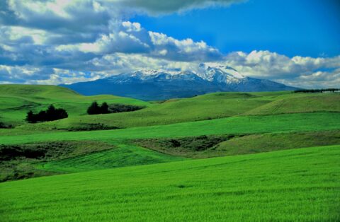
Mt Ruapehu in New Zealand has some lush farmland near its slopes due to volcanic soil and regular rainfall.
Rural
Photos of Rural Landscapes and Farms
Photos of farms, crops, and rural landscapes from around the world.
Rural landscapes are characterized by open, rolling or hilly terrain, with scattered settlements and farm fields, forests, and other natural features. These landscapes can be found in rural areas all over the world and vary greatly in terms of geography, and climate.
Common features of rural landscapes include rolling hills, forests, pastures, and croplands, as well as bodies of water such as rivers, lakes, and wetlands. Rural communities are often small and spread out, with a strong connection to the land and a slower pace of life compared to urban areas.
Rural landscapes are often dotted with traditional farmhouses, barns, and other agricultural buildings, which reflect the area’s rich cultural heritage and agrarian roots. In many rural communities, farming and other natural resource-based industries continue to play a central role in the local economy and way of life.
Lush farmland near Waiouru with snow capped Mount Ruapehu in the background.
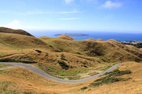
The view from Colonial Knob in Porirua reveals rolling summer pastures, with Mana Island and the expansive Tasman Sea...
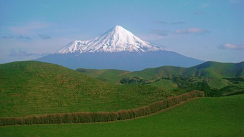
Mount Taranaki, also known as Mount Egmont, is an active stratovolcano known for its symmetrical cone shape and stunning...
Mt Ruapehu Pasture
Tongariro National Park photos, Landscape / Horizontal, Mountains, Rural, Snow, VolcanicLush green grass with Mt Ruapehu in view. Surrounding this volcano are a number of diverse landscapes. While most...
Lush green farmland at the foot of Mount Ruapehu in the central North Island. The fertile farmland is possible...
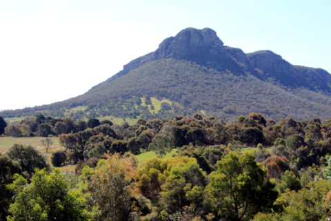
View of the southern end of Grampians National Park in Victoria, Australia.
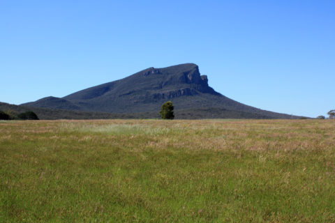
View of Mount Sturgeon as seen from the rural area just south of Grampians National Park.
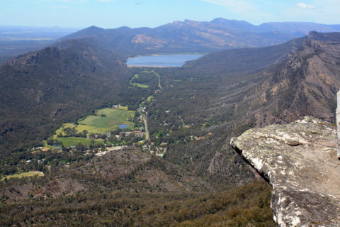
Boroka Lookout Grampians National Park
Grampians Australia photos, Landscape / Horizontal, Mountains, RuralBoroka Lookout in the Grampians provides a panoramic view of Halls Gap, Lake Bellfield, Wonderland range, and Mt William...
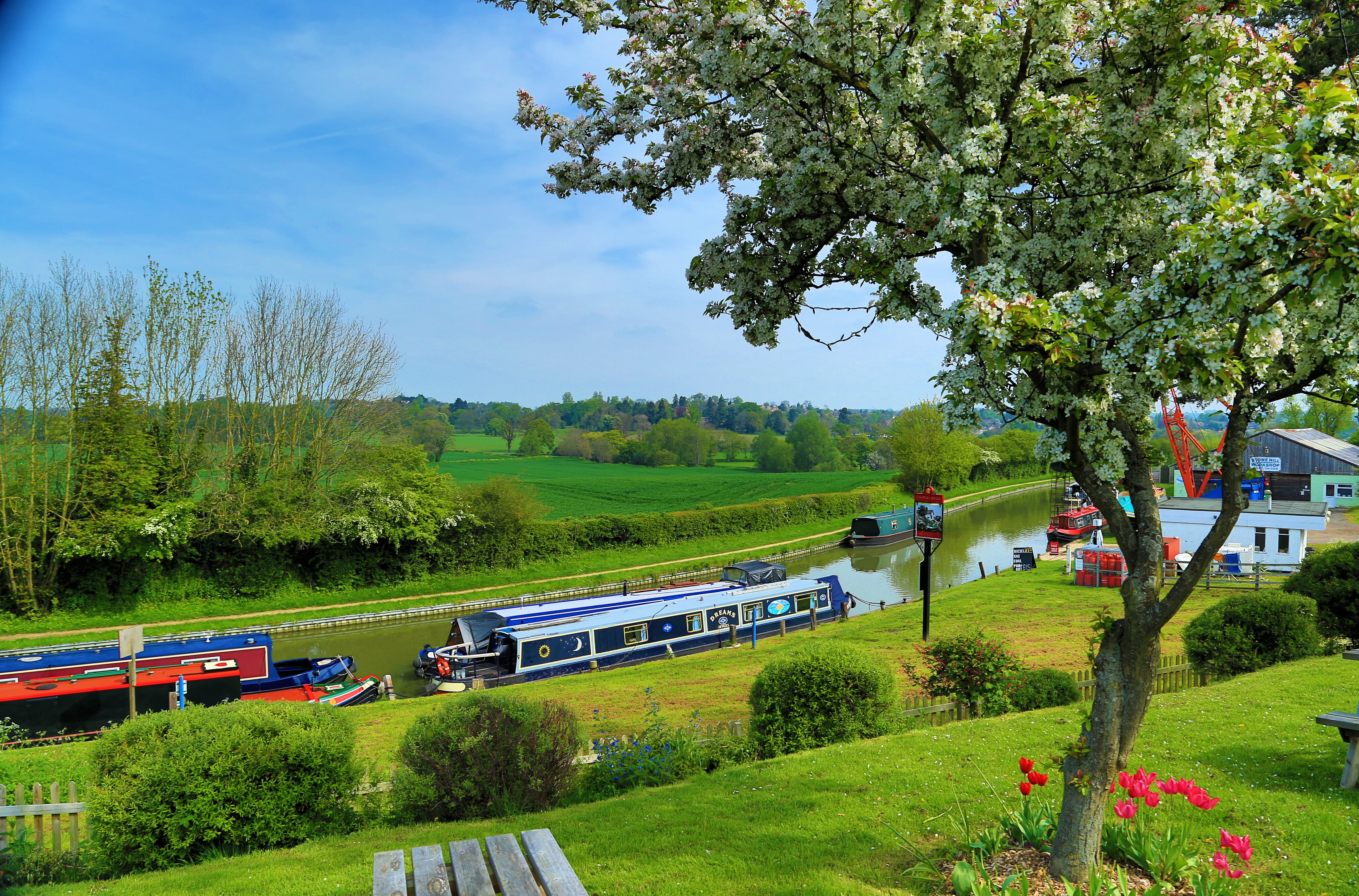
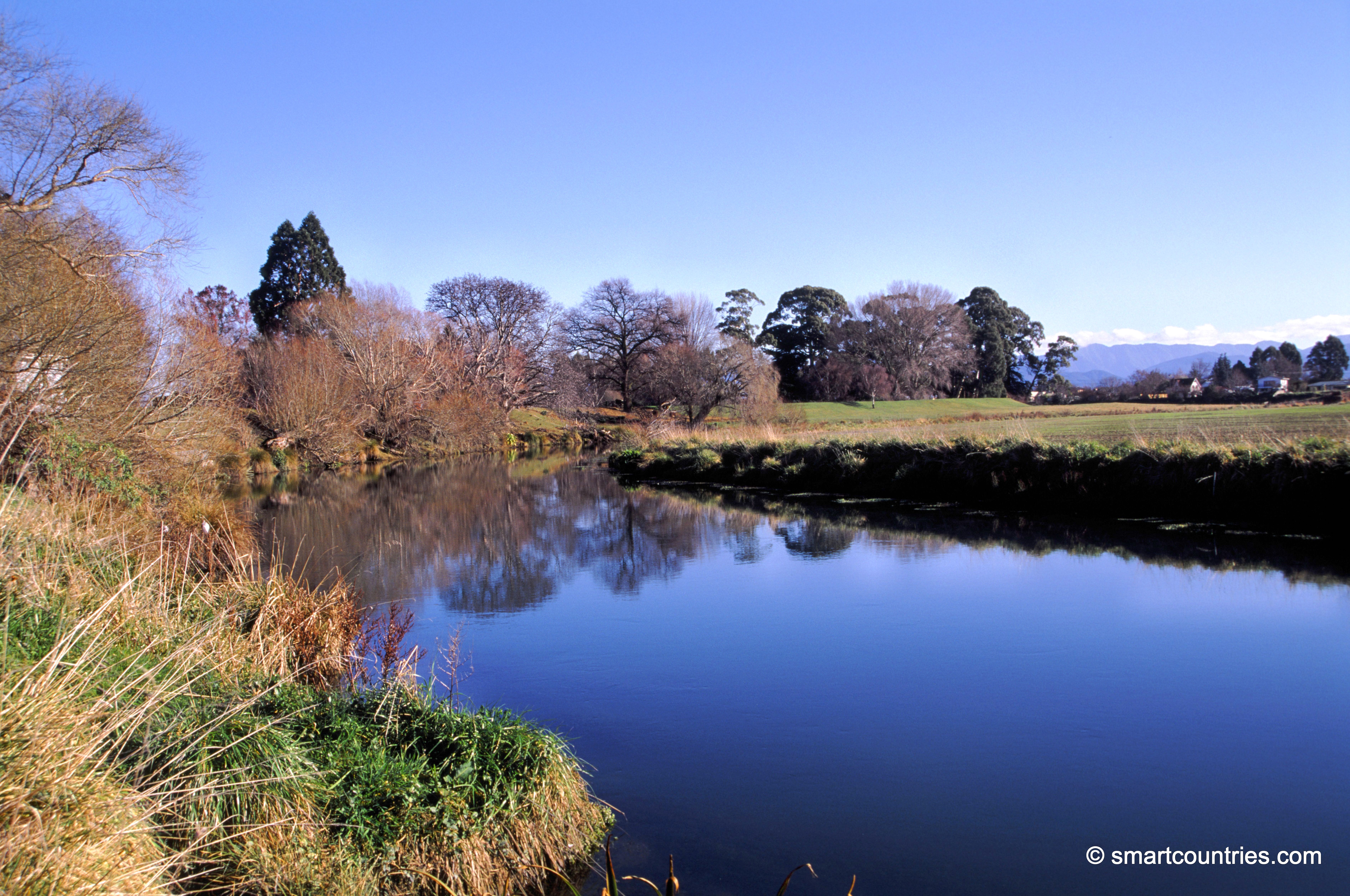
Opawa River in Marlborough New Zealand is navigable by small boats. The river’s source is in Wairau valley and...
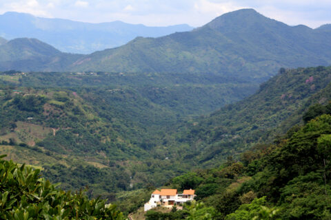
The Eastern Cordillera of the Andes is a mountain range located in Colombia that runs parallel to the Pacific...
Calendar
| M | T | W | T | F | S | S |
|---|---|---|---|---|---|---|
| 1 | 2 | 3 | 4 | |||
| 5 | 6 | 7 | 8 | 9 | 10 | 11 |
| 12 | 13 | 14 | 15 | 16 | 17 | 18 |
| 19 | 20 | 21 | 22 | 23 | 24 | 25 |
| 26 | 27 | 28 | 29 | 30 | 31 | |
Popular Posts
- Awakening New Zealand video (100)
- Iguazu Falls as seen from Brazil (87)
- Metrocable Medellin (78)
- Pauatahanui Inlet (69)
- Spinnaker Hill in Whitby Porirua (68)
- Spinnaker Hill View (68)
- View from Whitby (68)
- The Devil’s Throat (62)
- Aerial View of Iguazu Falls (61)
- Porirua Harbour & Papakowhai (57)
- Lake Wakatipu (57)
- Salto Rivadavia & Iguassu River (56)
- Lake Tekapo & Lupins (54)
- Nelson View (53)
- Salto Rivadavia Misiones Province (53)
- Cascadas at Iguazu (53)

Recent Comments