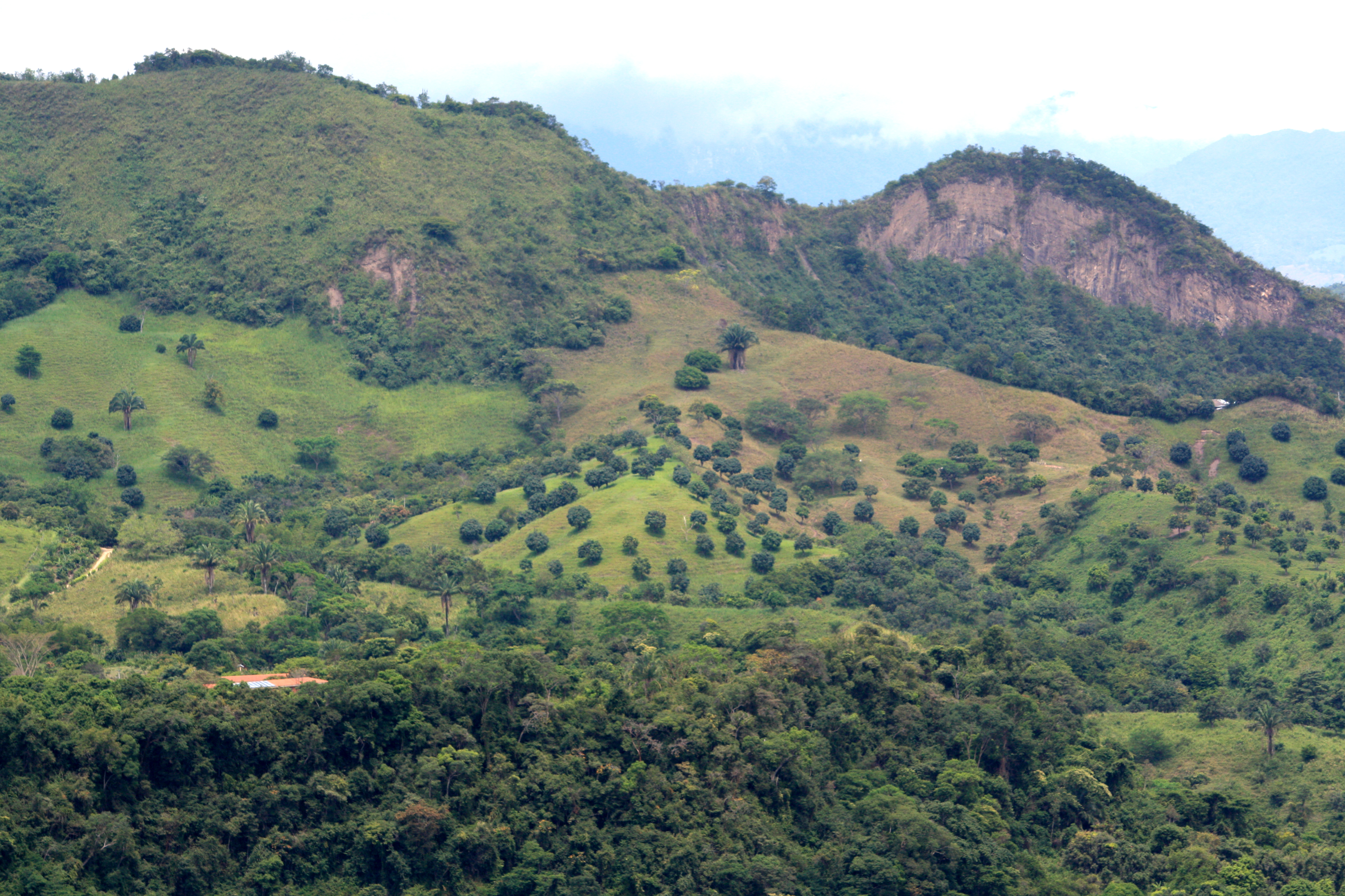
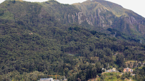
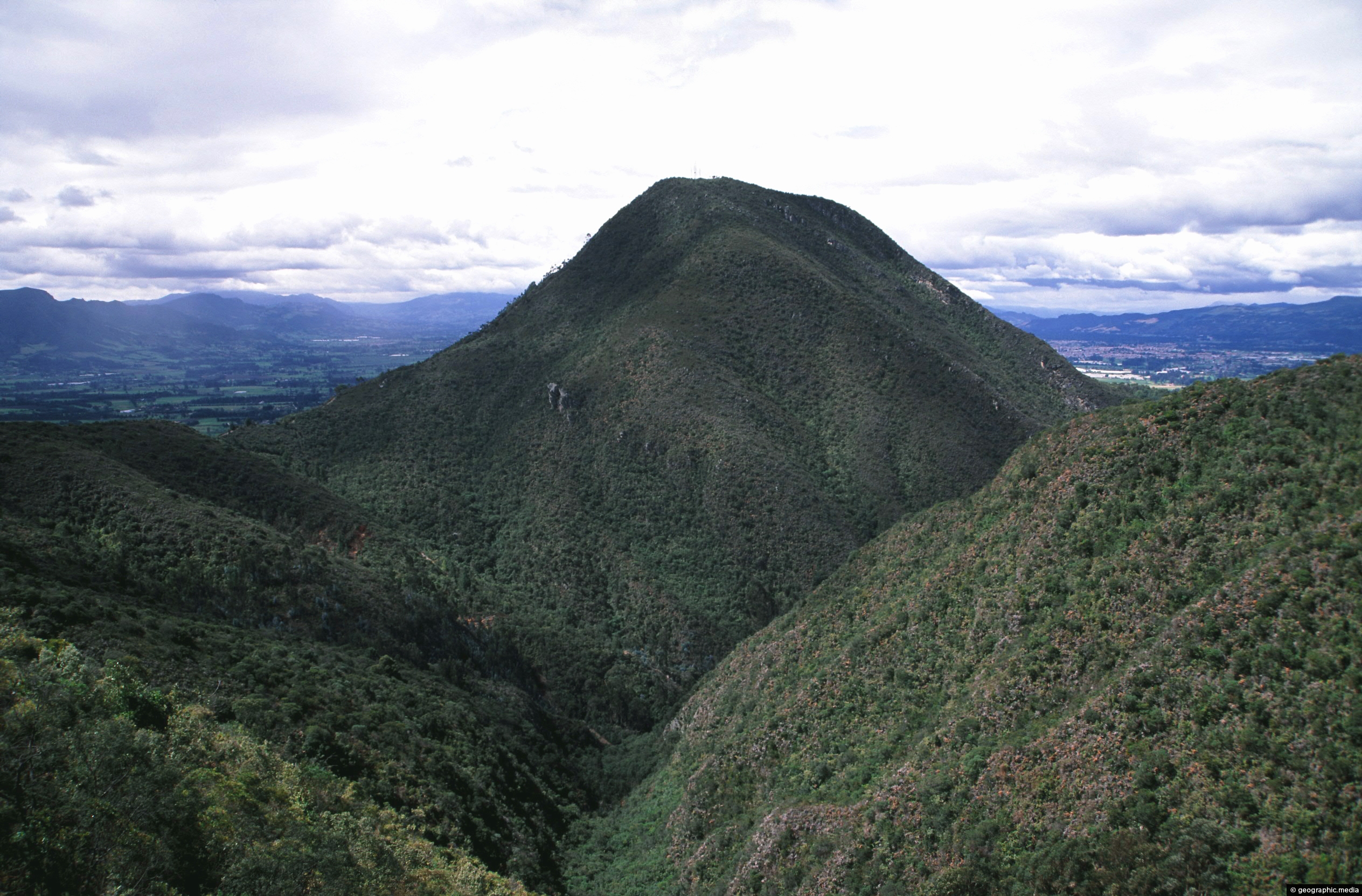
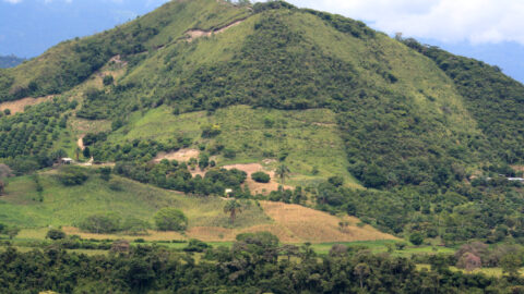
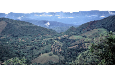
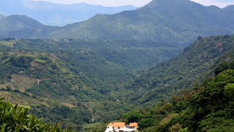
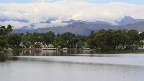
The Andes splits into three cordillera in Colombia resulting in lower mountain peaks compared with other south American countries. However, this creates a lot of good farmland with varying altitudes allowing a large variety of crops to grow.
Rural Andes Colombia
Page Views
This post has been viewed 130 times
Related Articles
-
La Valvanera Range in the Colombian Andes
Andes Colombia photos, Landscape / Horizontal, Mountains
The La Valvanera Range is located near Bogota. It is part of the Andes mountain range which the city...
-
Andes Bogota View
Andes Colombia photos, Cities, Landscape / Horizontal, Mountains
View of Bogotá, the capital city of Colombia as seen from the top of the Eastern Ranges of the...
-
Andes and Anapoima
Andes Colombia photos, Landscape / Horizontal, Mountains, Rural
Hills and the Andes mountains as seen from the small town of Anapoima. The town has a subtropical climate,...
-
Boqueron and the Sumapaz River in Colombia
Andes Colombia photos, Landscape / Horizontal, Mountains, Rivers, Towns
View of the small town of Boqueron and the Sumapaz River. The landscape here is an area of the...
-
Alpine Plant in Flower on Hills above Bogota
Andes Colombia photos, Flowers, Landscape / Horizontal, Plants
This wild alpine plant in flower is located at 3000 metres above sea level above the city of Bogota....
-
Aburrá Valley Medellin
Andes Colombia photos, Cities, Landscape / Horizontal, Mountains
Medellín, the second largest city in Colombia, is located in the Aburrá Valley, which is part of the Andean...
-
Rural Eastern Cordillera
Andes Colombia photos, Landscape / Horizontal, Mountains, Rural
Rural farmland within the foothills of the Eastern Cordillera range in the Colombian Andes. This terrain allows a large...
-
Andes in Bogota
Andes Colombia photos, Cities, Forests, Landscape / Horizontal, Mountains
The city of Bogota is hemmed in by peaks in the Eastern Ranges of the Andes mountains. Suburbs extend...
0 Comments
Latest Posts
Browse by Date
M | T | W | T | F | S | S |
---|---|---|---|---|---|---|
1 | 2 | 3 | 4 | 5 | ||
6 | 7 | 8 | 9 | 10 | 11 | 12 |
13 | 14 | 15 | 16 | 17 | 18 | 19 |
20 | 21 | 22 | 23 | 24 | 25 | 26 |
27 | 28 | 29 | 30 | 31 |
Popular Posts
- Awakening New Zealand video (100)
- Iguazu Falls as seen from Brazil (86)
- Metrocable Medellin (77)
- Spinnaker Hill View (68)
- Spinnaker Hill in Whitby Porirua (68)
- Pauatahanui Inlet (68)
- View from Whitby (68)
- The Devil’s Throat (62)
- Aerial View of Iguazu Falls (61)
- Porirua Harbour & Papakowhai (57)
- Lake Wakatipu (57)
- Salto Rivadavia & Iguassu River (56)
- Lake Tekapo & Lupins (54)
- Cascadas at Iguazu (53)
- Close up of Salto Rivadavia (53)
- Salto Rivadavia Misiones Province (53)
Subjects
AccommodationAnimalsArchitectureBeachesBirdsBoatsBridgesBuildingsCarsChurchesCitiesCliffsCoralCultureExtra Wide HorizontalFlowersForestsHarborsHomesIslandsLakesLandscape / HorizontalMapsMenMonumentsMountainsPalmsParksPeoplePlantsPortrait / VerticalRiversRoadsRuralSeaShopsSkyscrapersSnowSunsetsTownsTransportTreesVideosVolcanicWaterfalls
Recent Comments
- Lance on Concrete Hut Wainuiomata
- DavidJ on Concrete Hut Wainuiomata
- Tony on Concrete Hut Wainuiomata
- DavidJ on Wellington Night Skyline
- Ben on Auckland City Skyline from Westhaven Marina in 1998