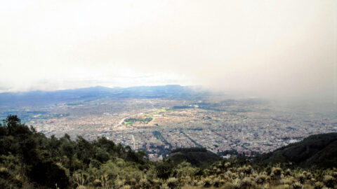
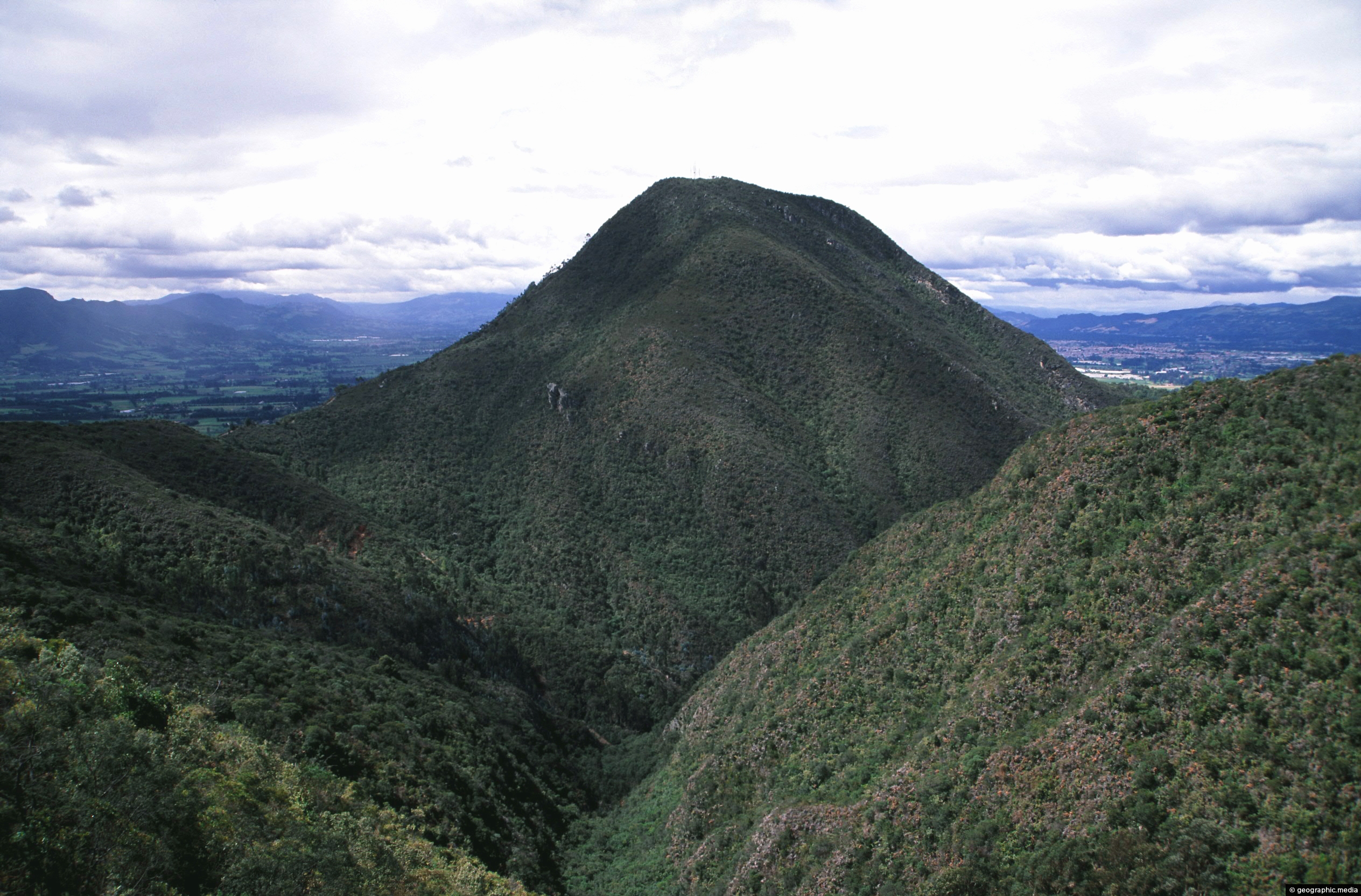
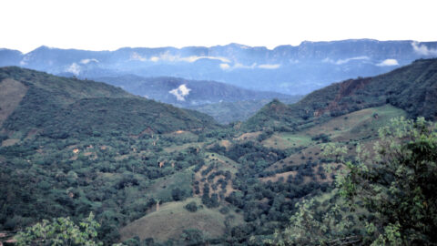
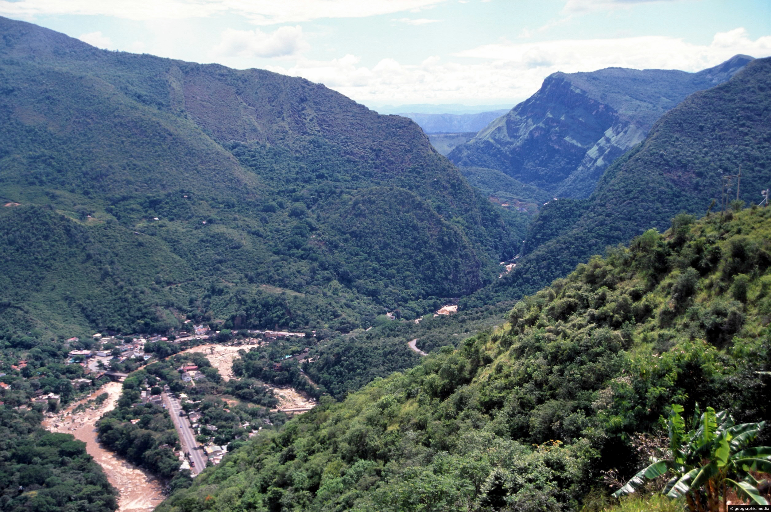
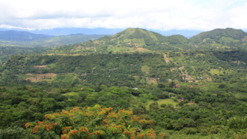
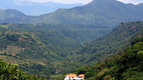
The city of Bogota is hemmed in by peaks in the Eastern Ranges of the Andes mountains. Suburbs extend up the slopes but not quite to the top. Most of the city sits on a high plateau below the peaks. The city sits at an elevation of 2,640 meters (8,660 feet) above sea level, making it the third highest capital city in South America after Quito and La Paz.
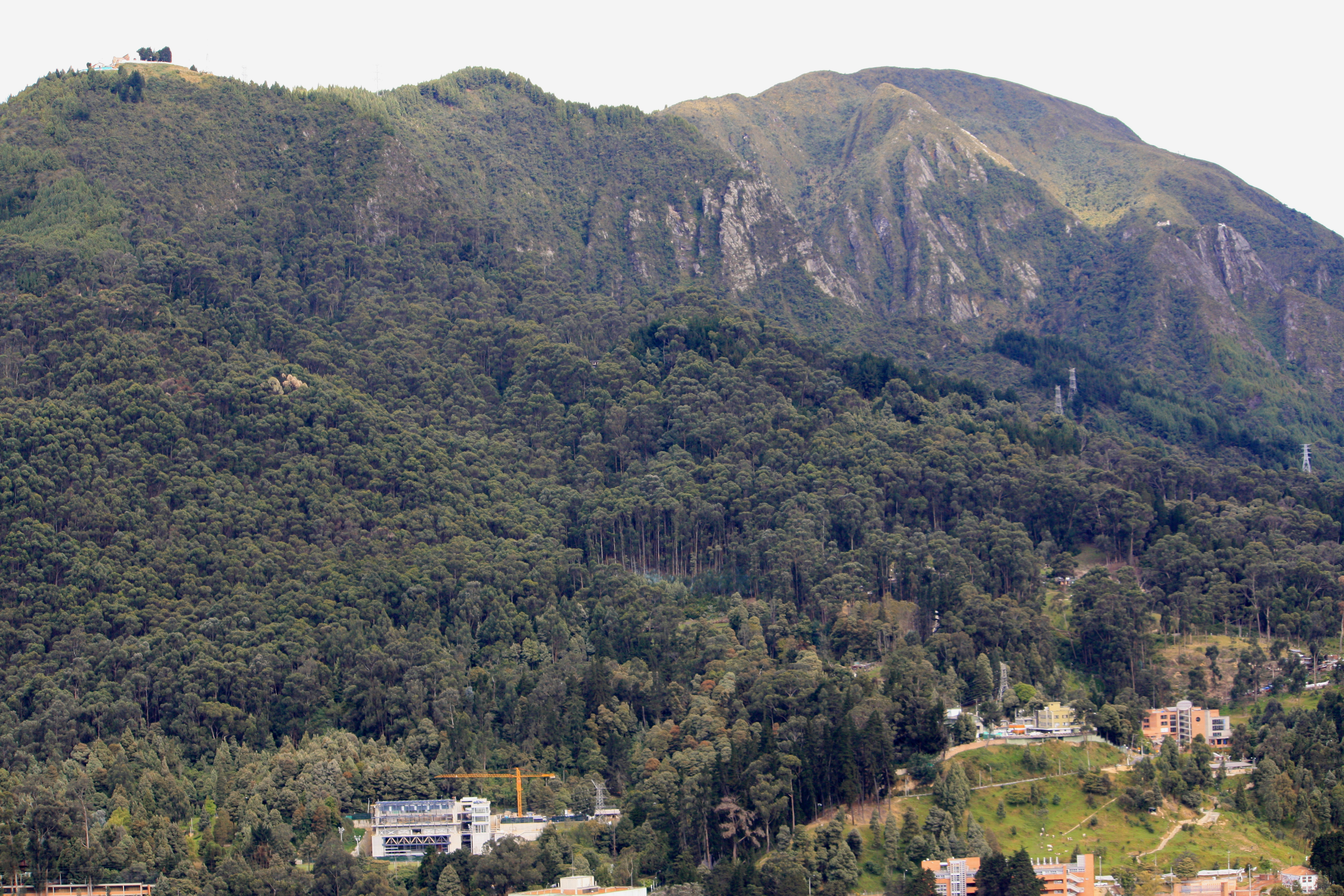
Andes in Bogota
Page Views
This post has been viewed 563 times
Related Articles
-
Eastern Cordillera
Andes Colombia photos, Lakes, Landscape / Horizontal, Mountains
Eastern Cordillera as seen from the Inter-Andean Valley near Giardot in Colombia. This valley sits between the Eastern and...
-
Foot Hills Andes Colombia
Andes Colombia photos, Landscape / Horizontal, Mountains, Rural
View of some foothills located in the Eastern Cordillera of the Andes. The peaks in the background has a...
-
Eastern Cordillera of the Andes
Andes Colombia photos, Landscape / Horizontal, Mountains, Rural
The Eastern Cordillera of the Andes is a mountain range located in Colombia that runs parallel to the Pacific...
-
Aburrá Valley Medellin
Andes Colombia photos, Cities, Landscape / Horizontal, Mountains
Medellín, the second largest city in Colombia, is located in the Aburrá Valley, which is part of the Andean...
-
Boqueron and the Sumapaz River in Colombia
Andes Colombia photos, Landscape / Horizontal, Mountains, Rivers, Towns
View of the small town of Boqueron and the Sumapaz River. The landscape here is an area of the...
-
Rural Andes Colombia
Andes Colombia photos, Landscape / Horizontal, Mountains, Rural
The Andes splits into three cordillera in Colombia resulting in lower mountain peaks compared with other south American countries....
-
Rural Eastern Cordillera
Andes Colombia photos, Landscape / Horizontal, Mountains, Rural
Rural farmland within the foothills of the Eastern Cordillera range in the Colombian Andes. This terrain allows a large...
-
Andes and Anapoima
Andes Colombia photos, Landscape / Horizontal, Mountains, Rural
Hills and the Andes mountains as seen from the small town of Anapoima. The town has a subtropical climate,...
0 Comments
Popular Posts
- Awakening New Zealand video (100)
- Iguazu Falls as seen from Brazil (87)
- Metrocable Medellin (78)
- Pauatahanui Inlet (69)
- Spinnaker Hill View (69)
- Spinnaker Hill in Whitby Porirua (69)
- View from Whitby (68)
- The Devil’s Throat (63)
- Aerial View of Iguazu Falls (61)
- Porirua Harbour & Papakowhai (58)
- Lake Wakatipu (57)
- Salto Rivadavia & Iguassu River (56)
- Salto Rivadavia Misiones Province (54)
- Close up of Salto Rivadavia (54)
- Cascadas at Iguazu (54)
- Lake Tekapo & Lupins (54)
Subjects
AccommodationAnimalsArchitectureBeachesBirdsBoatsBridgesBuildingsCarsChurchesCitiesCoralCultureExtra Wide HorizontalFlowersForestsHarborsHomesIslandsLakesLandscape / HorizontalMapsMenMonumentsMountainsPalmsParksPeoplePlantsPortrait / VerticalRiversRoadsRuralSeaShopsSkyscrapersSnowSunsetsTownsTrailsTransportTreesVideosVolcanicWaterfalls
Recent Comments
- DavidJ on The True Size of Australia
- Anonymous on The True Size of Australia
- Lance on Concrete Hut Wainuiomata
- Tony on Concrete Hut Wainuiomata
- DavidJ on Wellington Night Skyline