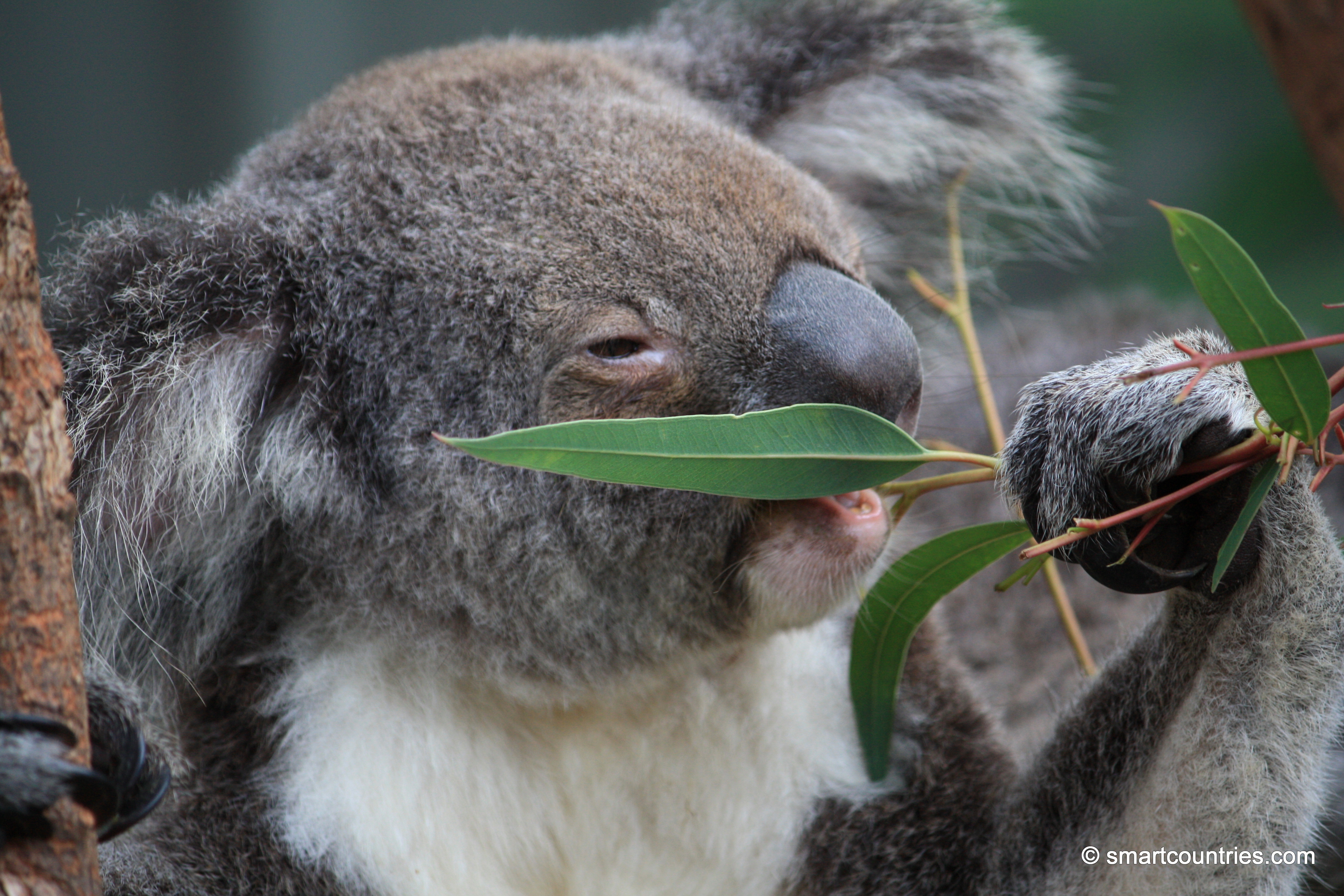
A koala eating gum leaves in Wildlife Park, Hamilton Island, Australia.
Koala on Hamilton Island
Monserrate is a mountain in Bogotá, Colombia, rising to over 3,000 meters above sea level. It is a prominent...
Pukeatua Bridge in Wainuiomata crosses Wainuiomata Road at its highest point, 189 meters above sea level. This places the...
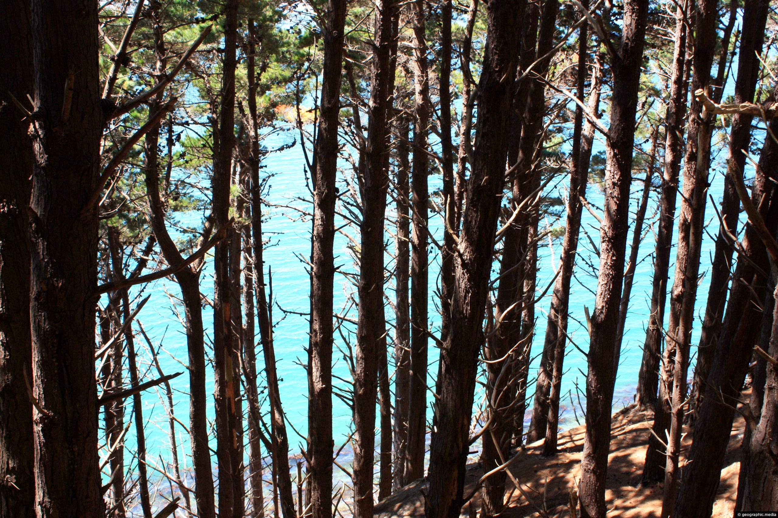
Monterey Pine forest Wellington Harbour
Wellington photos, Forests, Landscape / Horizontal, Sea, TreesMonterey Pine forest on the slopes around Wellington Harbour. The Monterey Pine (Pinus Radiata) is a pine tree native...
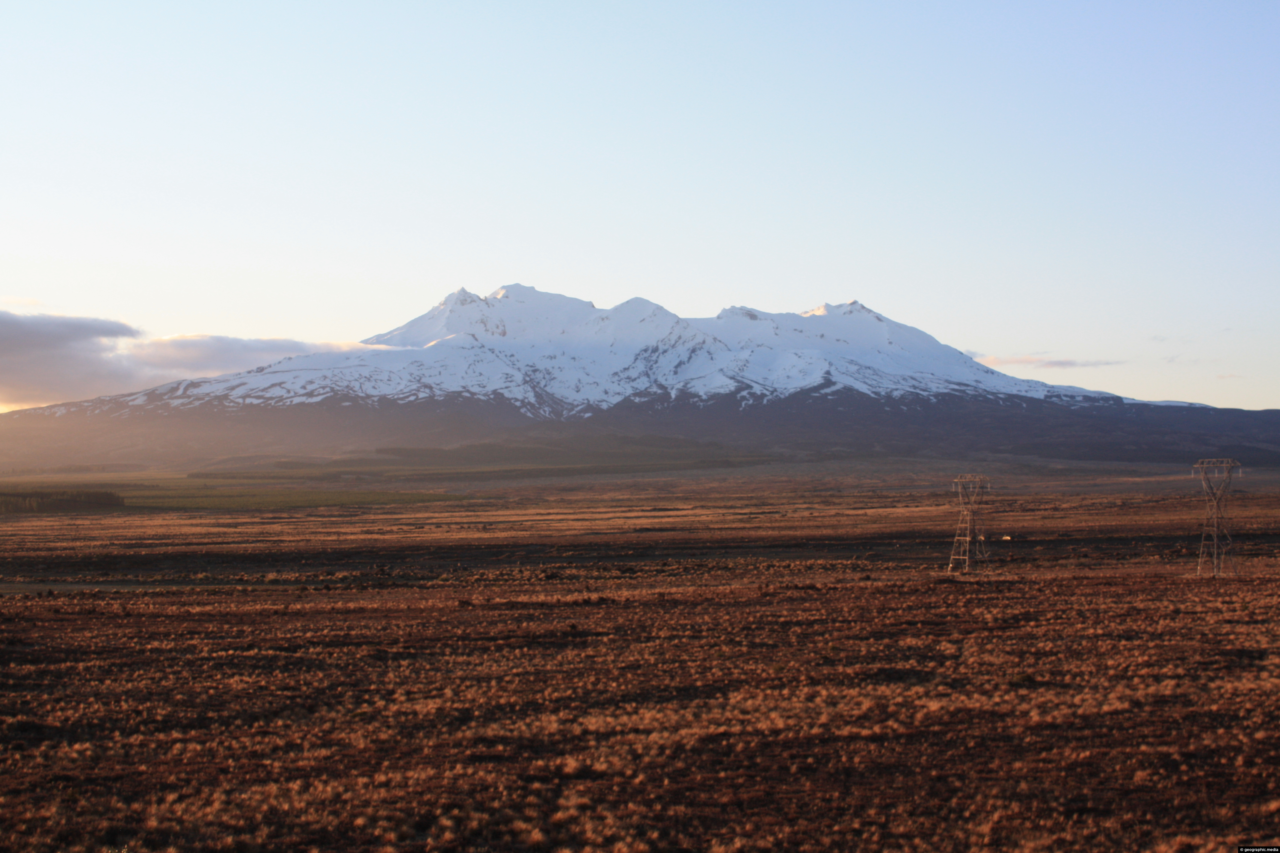
Rangipo Desert & Mount Ruapehu
Mt Ruapehu photos, Deserts, Landscape / Horizontal, Mountains, VolcanicMount Ruapehu as seen from the Rangipo Desert. The Rangipo Desert is a desert-like environment located in New Zealand’s...
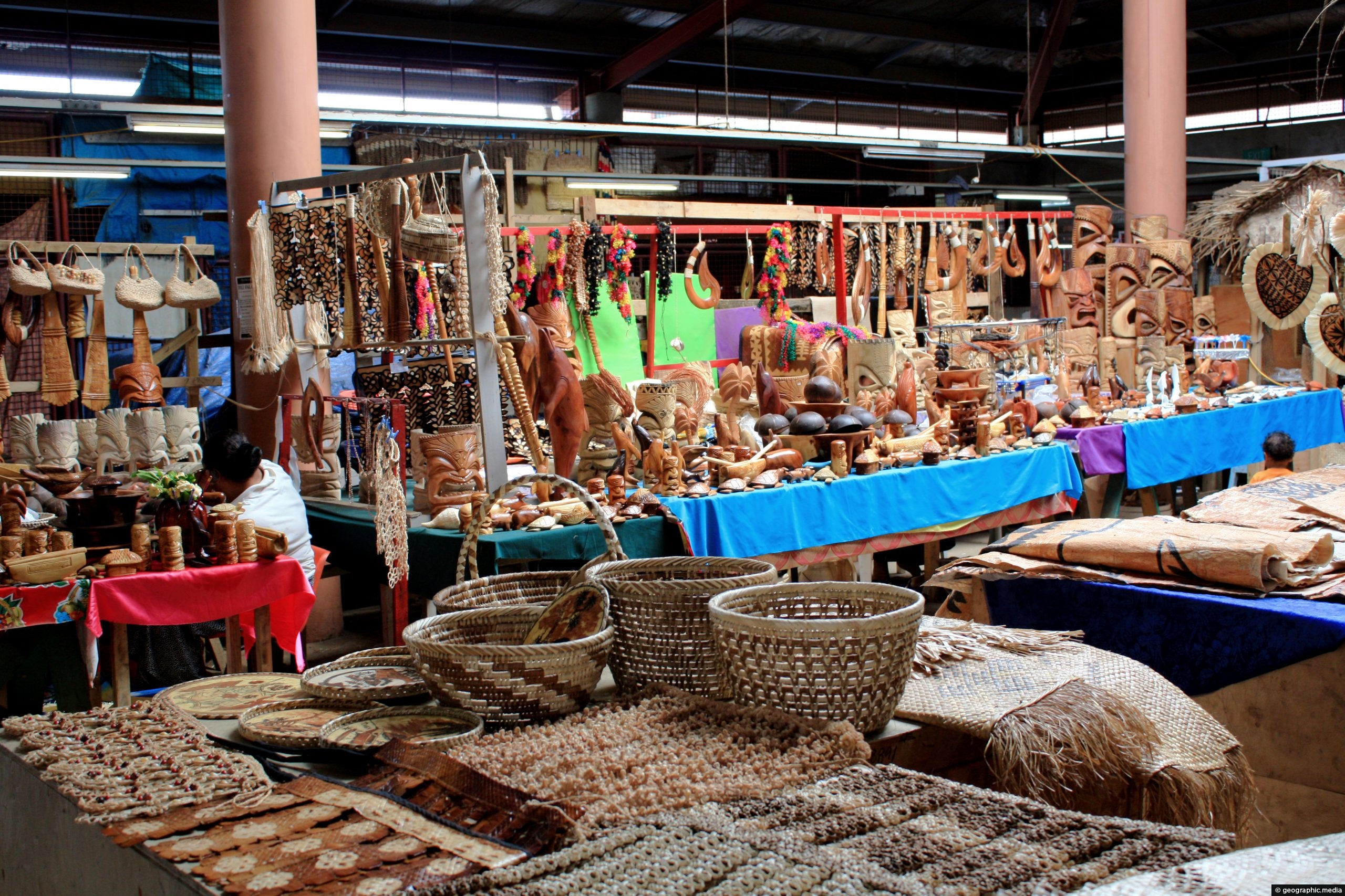
Handicrafts at Talamahu Market, in Nuku’alofa
Nukualofa photos, Culture, Handicrafts, Landscape / Horizontal, ShopsLooking at a selection of local handicrafts at Talamahu Market in Nuku’alofa. Pictured are some weaved baskets, tapa cloth,...
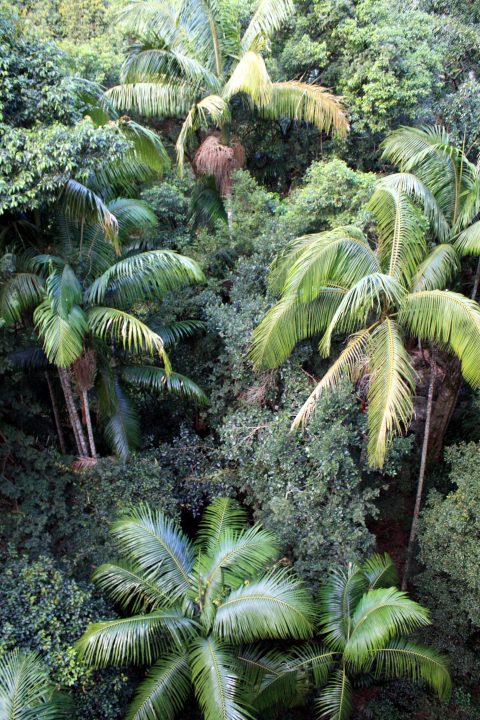
Aerial view of the a subtropical forest canopy in Southern Queensland. The palms are Piccabeen Palms which can reach...
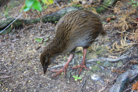
A young weka foraging for food in the Marlborough Sounds area.
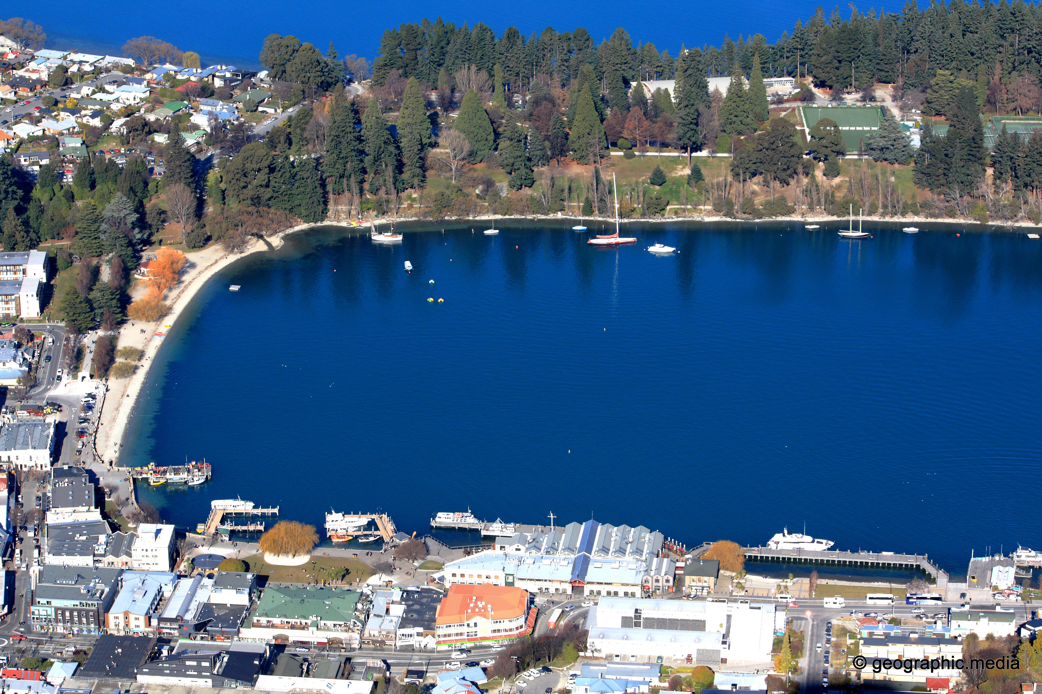
Aerial view of Queenstown’s CBD, lake front, and Queenstown Gardens.
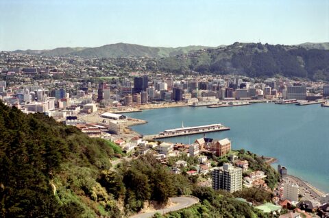
Wellington from Mt Victoria 1989
Wellington photos, Buildings, Cities, Landscape / Horizontal, Sea, SkyscrapersLooking at Wellington city and harbor from Mount Victoria, circa 1989. The Overseas Terminal (the wharf) is there as...
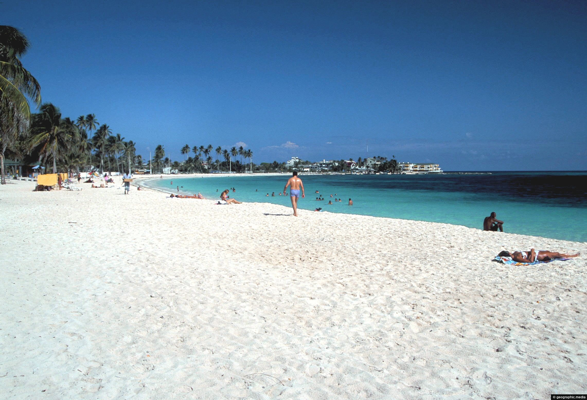
Sprat Bight Beach in San Andres
San Andres photos, Beaches, Islands, Landscape / Horizontal, Palms, SeaView of Sprat Bight Beach on the island of San Andres. It is the main beach on this Caribbean...
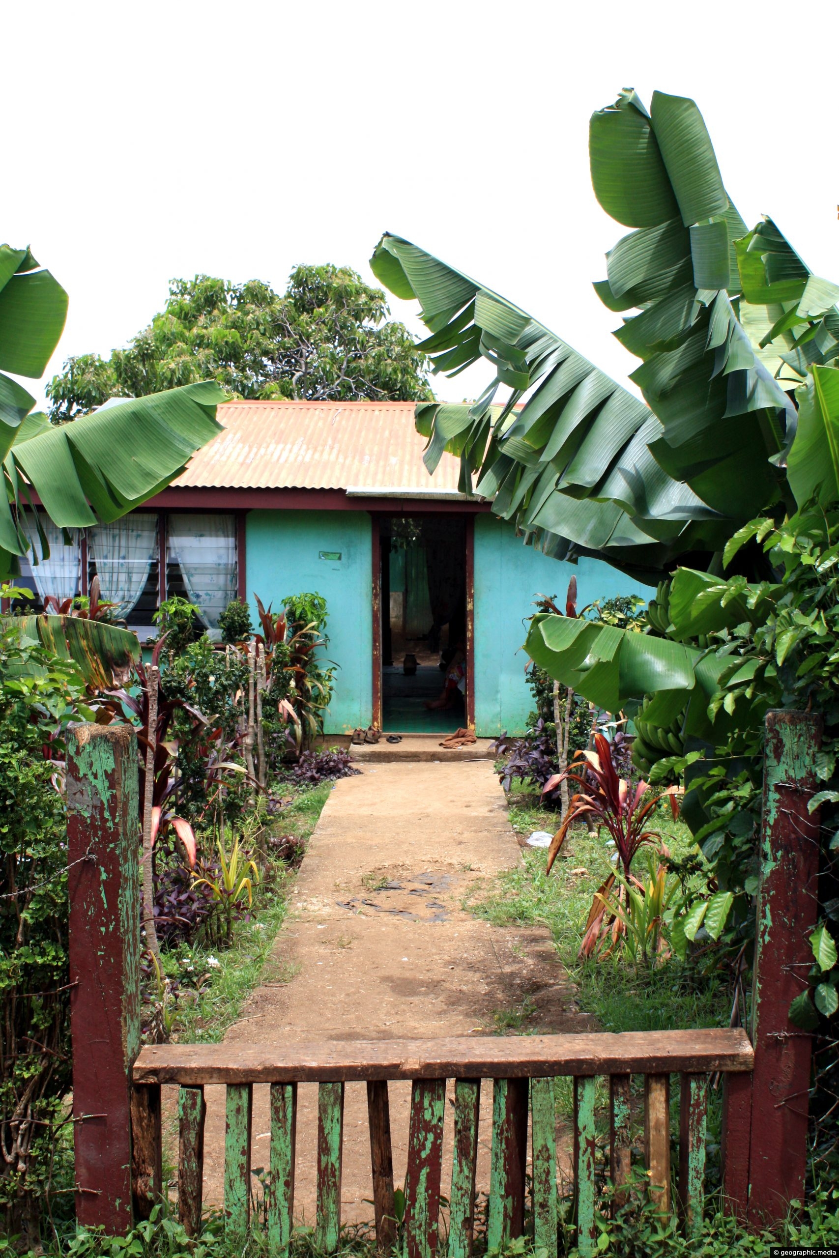
A basic home on Atata Island framed by banana trees.
Calendar
| M | T | W | T | F | S | S |
|---|---|---|---|---|---|---|
| 1 | 2 | 3 | 4 | |||
| 5 | 6 | 7 | 8 | 9 | 10 | 11 |
| 12 | 13 | 14 | 15 | 16 | 17 | 18 |
| 19 | 20 | 21 | 22 | 23 | 24 | 25 |
| 26 | 27 | 28 | 29 | 30 | 31 | |
Popular Posts
- Awakening New Zealand video (100)
- Iguazu Falls as seen from Brazil (87)
- Metrocable Medellin (78)
- Pauatahanui Inlet (69)
- Spinnaker Hill View (68)
- Spinnaker Hill in Whitby Porirua (68)
- View from Whitby (68)
- The Devil’s Throat (62)
- Aerial View of Iguazu Falls (61)
- Porirua Harbour & Papakowhai (57)
- Lake Wakatipu (57)
- Salto Rivadavia & Iguassu River (56)
- Lake Tekapo & Lupins (54)
- Nelson View (53)
- Salto Rivadavia Misiones Province (53)
- Cascadas at Iguazu (53)

Recent Comments