
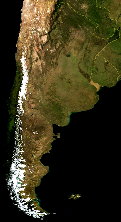
A satellite view of Argentina in South America. The Andes can be clearly seen because of snow.
Argentina Satellite Image
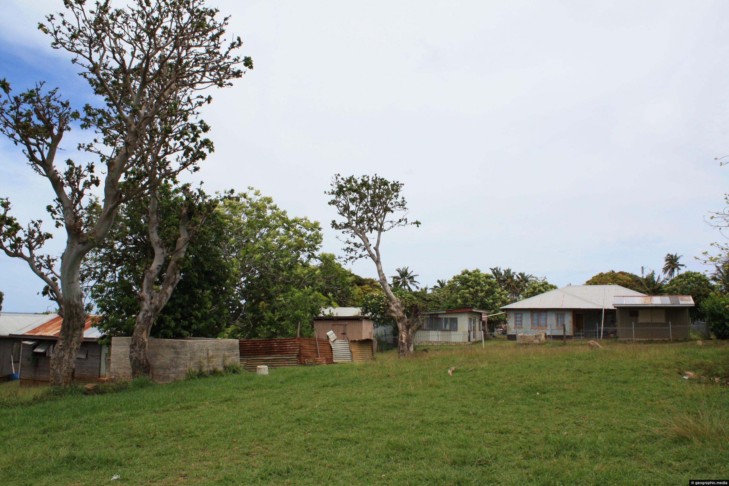
View of four dwellings on Atata Island in Tonga. These homes are without running water or electricity, but solar...

Over the years, reports of the Tasmanian Tiger, also known as the Thylacine, have endured across mainland Australia and...
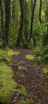
The Whakanui Track begins at the top of Sunny Grove and crosses McKerrow Ridge before descending into the Ōrongorongo...
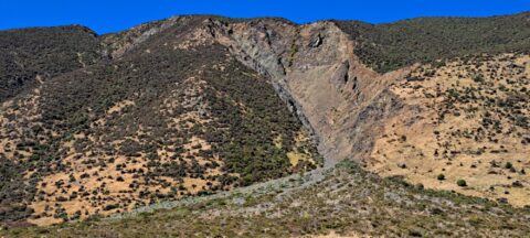
This shingle fan reveals a massive accumulation of scree cascading from the hillside, spreading out in a fan-like shape...
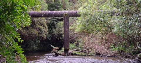
The O-K Main in Wainuiomata, also known as the Orongorongo Pipeline, carried water from the Orongorongo Catchment to Karori,...
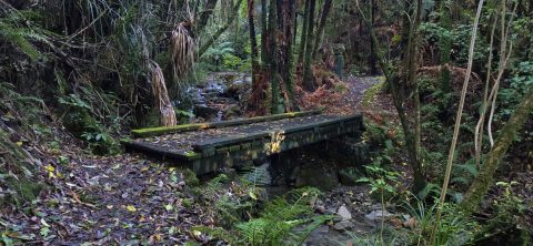
A bridge at the beginning of the Whakanui Track crossing Skerretts Creek. From here the track rises up to...
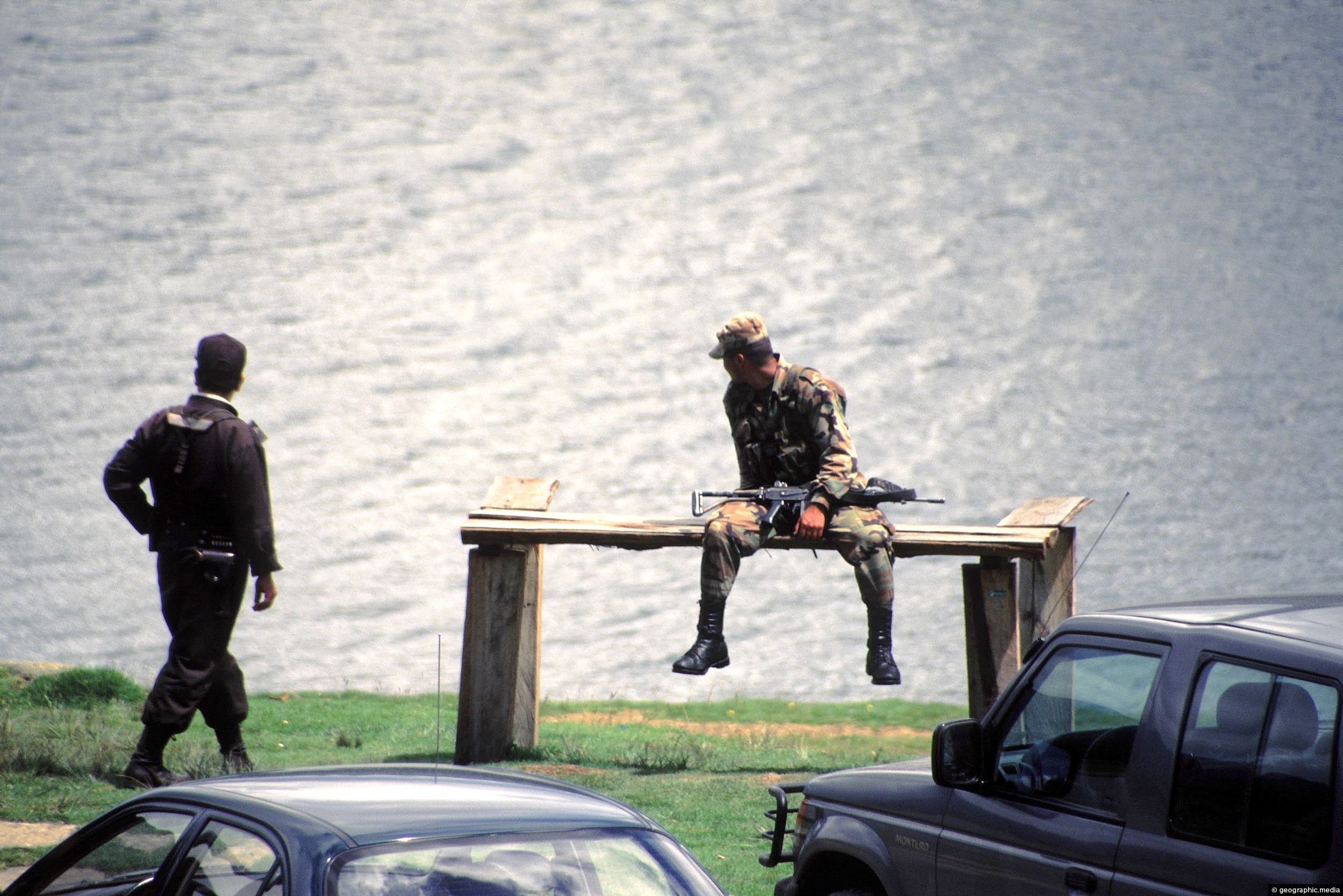
Two Colombian soldiers taking a short break on the shore of Lake Suesca. Photographing soldiers in Colombia can get...

Looking at a street with multiple apartment blocks in the wealthy suburb of Rosales in Bogota Colombia.
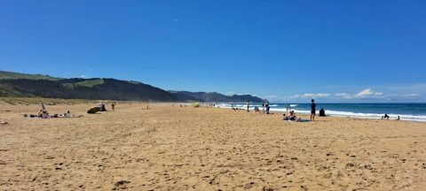
Looking north along Ocean Beach, the broad sweep of golden sand stretches towards Whakapau Bluff, with Cape Kidnappers lying...

Recent Comments