
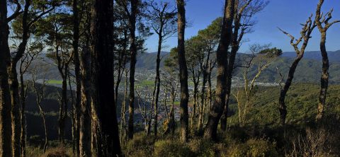
A glimpse of Wainuiomata Valley through the trees from Rātā Ridge Track, one of many walks surrounding the valley.
Rātā Ridge Track View

New Zealand, located at the southwestern edge of the Pacific Ocean, is the most remote developed nation in the...
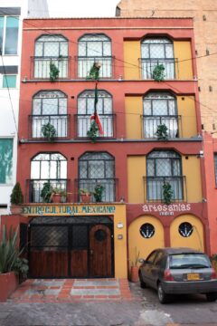
Looking at a commercial building in Chapinero, Bogota. Chapinero is situated in the northern part of the city. It...
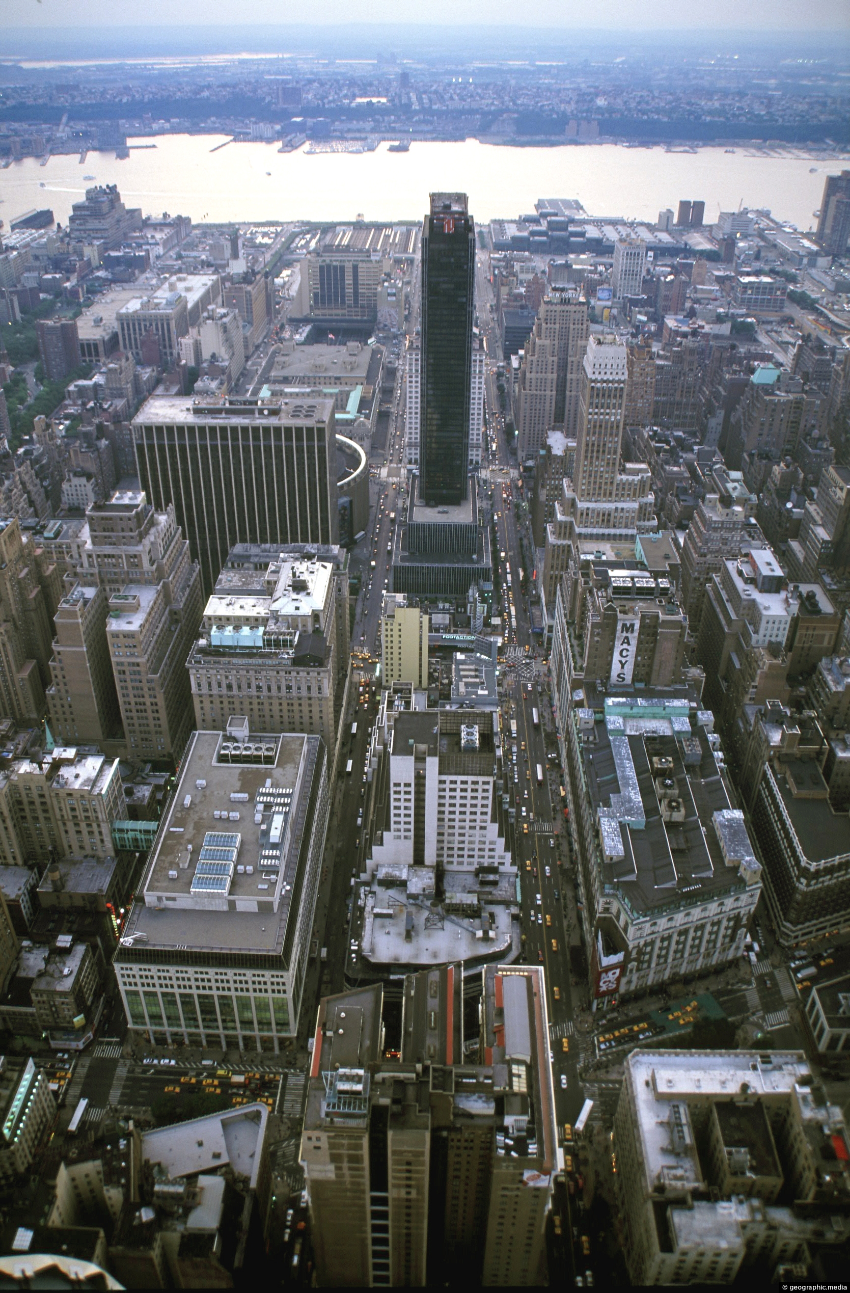
View from the Empire State Building looking down and in a westerly direction.
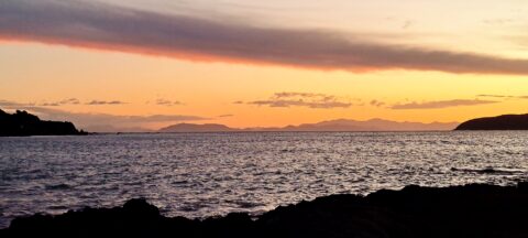
The South Island can be seen from Titahi Bay in Porirua on a clear day. In view is the...
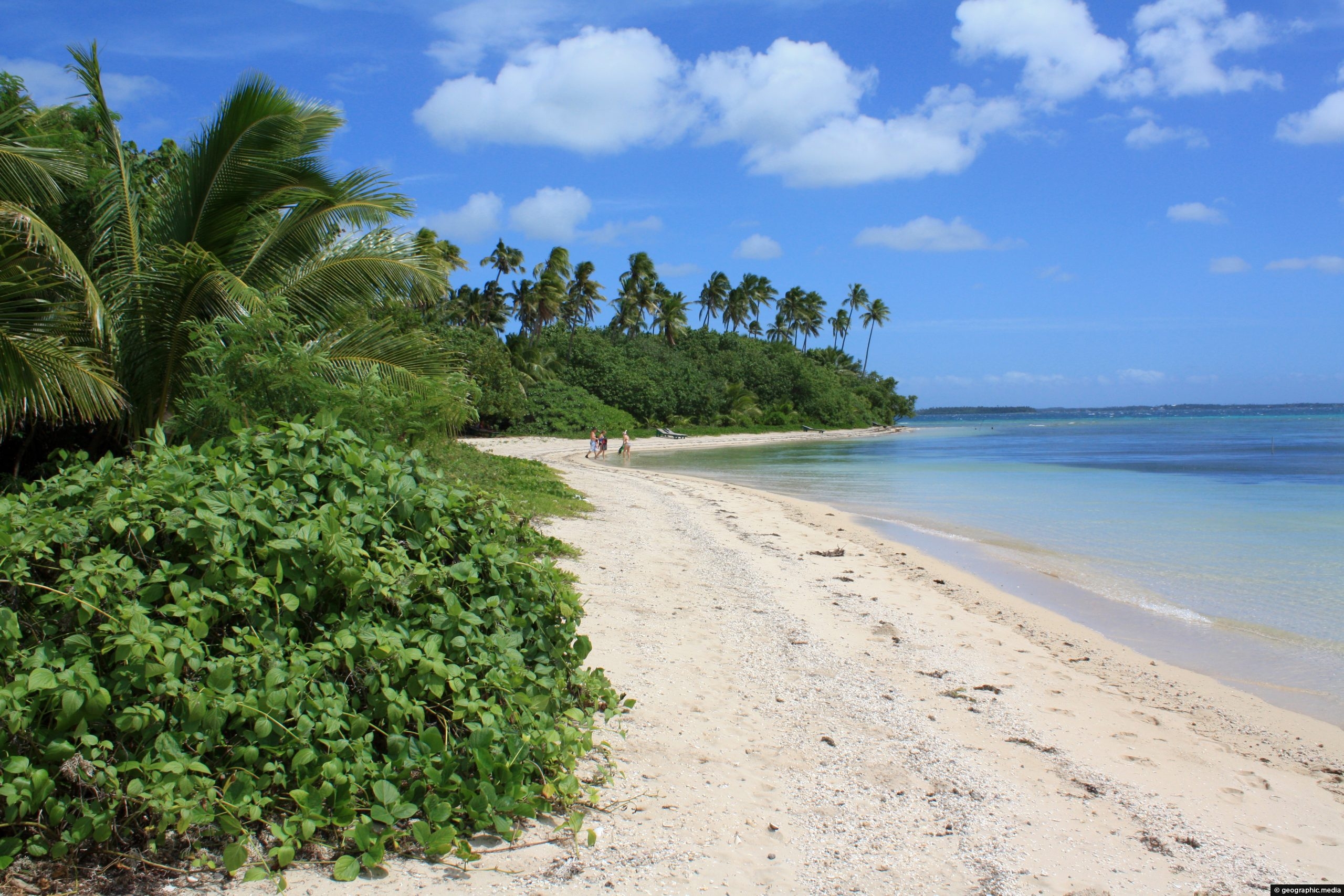
Tropical vegetation with palm trees fringe this beach on Fafa Island.
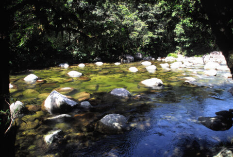
The Mossman River is a river located in northeastern Queensland, Australia. It is approximately 65 kilometers (40 miles) long...
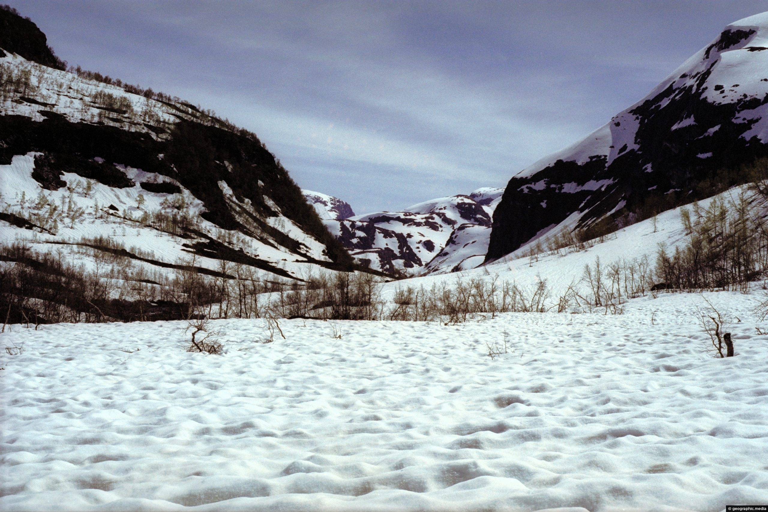
A snowy spring landscape in the district of Voss, Norway. Although winter has passed, the ground remains frozen in...
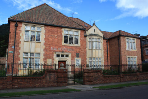
La Merced is known for its colonial architecture, including many houses and buildings that date back to the 18th...
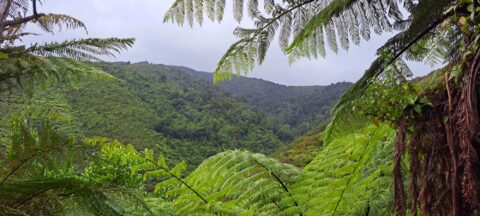
The sight from the summit of the western slope arm overlooks Nikau Creek Valley. On the opposing slope lies...

Recent Comments