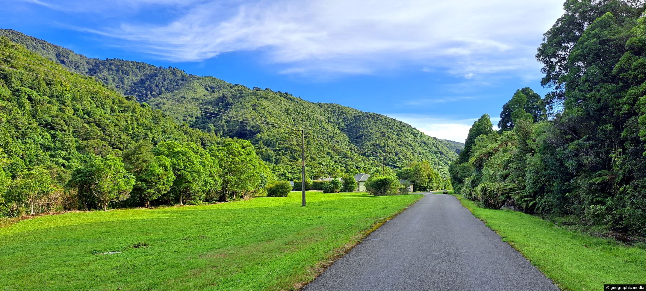
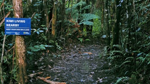
View of Waterworks Road, a private road. This location looking back from the end of the road where a fence stops further passage into the Wainuiomata Waterworks Recreation Area.
ALL / Explore Oceania / Explore New Zealand / New Zealand Photos / Wainuiomata photos / Waterworks Road in Wainuiomata
All original royalty-free photos, shareable maps, and informative articles.
Waterworks Road in Wainuiomata
Page Views
This post has been viewed 553 times
Related Articles
-
Misty Day at Richard Prouse Park
Wainuiomata photos, Extra Wide Horizontal, fog, Mountains, Parks
Winter view of Richard Prouse Park in Wainuiomata, with the hills of Wainuiomata Regional Park shrouded in fog.
-
Mist Filled Valleys
Wainuiomata photos, Extra Wide Horizontal, Forests, Mountains
A windless day in Wainuiomata with both western and eastern hills trapping low cloud and mist inside the valley.
-
Sunny Grove Wainuiomata
Wainuiomata photos, Extra Wide Horizontal, Forests, Homes, Mountains
View of Sunny Grove in Wainuiomata. While the street looks sunny in the photo, it is mostly quite shady...
-
River at Richard Prouse Park
Wainuiomata photos, Extra Wide Horizontal, Forests, Rivers
View of Wainuiomata River on the edge of Richard Prouse Park. This part of the river has a few...
-
Hine Road Recreation Reserve Bridge
Wainuiomata photos, Bridges, Portrait / Vertical, Rivers
The construction of Hine Road Recreation Reserve Bridge dates back to 1989. It provides passage to Top Pool Bridge,...
-
Aerial view of Wainuiomata
Wainuiomata photos, Cities, Extra Wide Horizontal, Mountains
This bird’s-eye perspective of Wainuiomata illustrates how the suburb resides within its unique valley, distinct from the broader Hutt...
-
Ravine Near Sledge Track Creek
Wainuiomata photos, Ferns, Forests, Portrait / Vertical
A ravine close to Sledge Creek Track in Reservoir Valley in Wainuiomata. The area is covered in podocarp rainforest...
-
Wainuiomata River Coast Road
Wainuiomata photos, Extra Wide Horizontal, Rivers
Looking down at the Wainuiomata River from the Coast Road. The river starts in a podocarp rainforest, then flows...
0 Comments
Calendar
M | T | W | T | F | S | S |
---|---|---|---|---|---|---|
1 | 2 | |||||
3 | 4 | 5 | 6 | 7 | 8 | 9 |
10 | 11 | 12 | 13 | 14 | 15 | 16 |
17 | 18 | 19 | 20 | 21 | 22 | 23 |
24 | 25 | 26 | 27 | 28 |
Popular Posts
- Awakening New Zealand video (100)
- Iguazu Falls as seen from Brazil (87)
- Metrocable Medellin (78)
- Pauatahanui Inlet (69)
- Spinnaker Hill in Whitby Porirua (68)
- Spinnaker Hill View (68)
- View from Whitby (68)
- The Devil’s Throat (62)
- Aerial View of Iguazu Falls (61)
- Porirua Harbour & Papakowhai (57)
- Lake Wakatipu (57)
- Salto Rivadavia & Iguassu River (56)
- Lake Tekapo & Lupins (54)
- Nelson View (53)
- Salto Rivadavia Misiones Province (53)
- Cascadas at Iguazu (53)
Subjects
AccommodationAnimalsArchitectureBeachesBirdsBoatsBridgesBuildingsCarsChurchesCitiesCoralCultureExtra Wide HorizontalFlowersForestsHarborsHomesIslandsLakesLandscape / HorizontalMapsMenMonumentsMountainsPalmsParksPeoplePlantsPortrait / VerticalRiversRoadsRuralSeaShopsSkyscrapersSnowSunsetsTownsTrailsTransportTreesVideosVolcanicWaterfalls
Recent Comments
- Lance on Concrete Hut Wainuiomata
- Tony on Concrete Hut Wainuiomata
- DavidJ on Wellington Night Skyline
- Ben on Auckland City Skyline from Westhaven Marina in 1998
- Ben on Auckland Harbour Bridge view