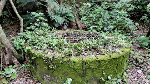
The decommissioned Wainuiomata Lower Dam which once supplied water to Wellington is now a natural wetland.

Click Jigshare icon to turn the image into a jigsaw. Or click on photo to download or view full screen image.

The decommissioned Wainuiomata Lower Dam which once supplied water to Wellington is now a natural wetland.
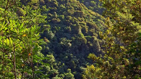
Looking at a forested foothill in the Remutaka Range. The Lower Hutt suburb of Wainuiomata is set below these...
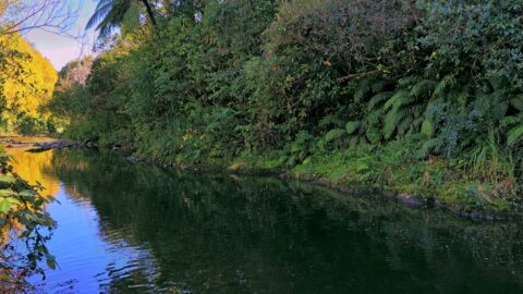
Tranquil beauty of the Wainuiomata River gracefully flowing through an Autumn landscape. Location is Hine Road Recreation Area.
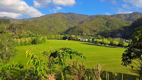
Standing at the lookout on The Rock, you get a wide view across Richard Prouse Park and the surrounding...
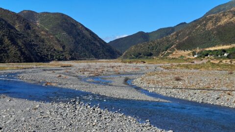
The Ōrongorongo River is a prominent waterway in the Wellington region of New Zealand, flowing from the Rimutaka Ranges...
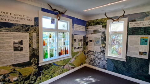
The walls tell stories of the history of the Wainuiomata waterworks. The waterworks has two dams, one decommissioned and...
The Richard Prouse Park Tunnel (once known as Colemans Tunnel) was constructed between 1881 and 1882. It is situated...
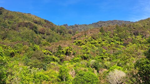
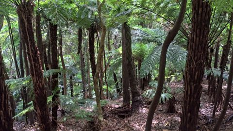
Fern trees are widespread throughout New Zealand forests and typically thrive in shaded areas with consistent rainfall.
View of Nikau Creek Valley in Wainuiomata from high up one of the gully walls. Over the hill ahead...
