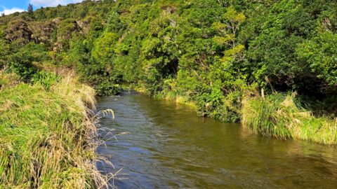
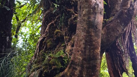
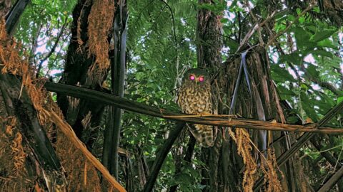
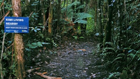
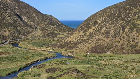
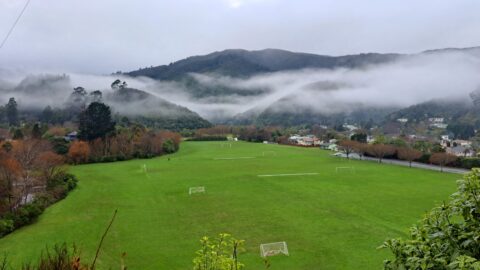
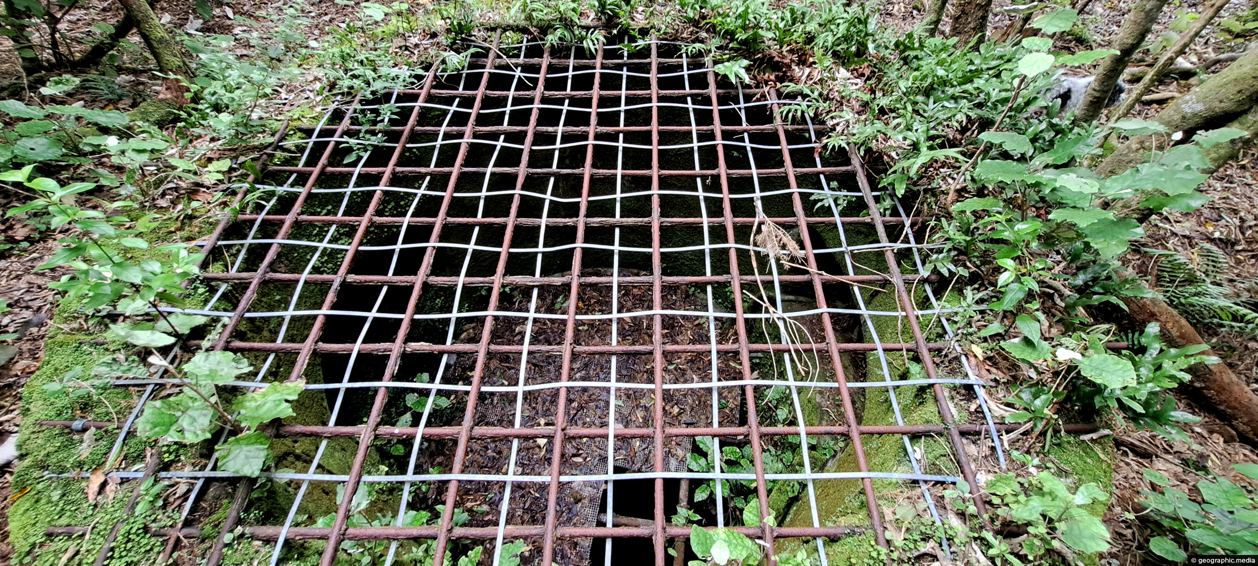
This underground shaft in Wainuiomata was originally constructed in the 1880s. It was abandoned 1899 and is now completely hidden from the public as the forest has reclaimed the land. It’s exact location is quite difficult to find despite being close to Reservoir Road as there is no path. The shaft itself is approximately 20 meters deep and leads to horizontal tunnel that is 43 meters long. The entrance to the horizontal tunnel has long been blocked off using concrete bricks and is also hidden from public view as it is completely overgrown with scrub and bush.
ALL / About / Underground Shaft in Wainuiomata
All original royalty-free photos, shareable maps, and informative articles.
Underground Shaft in Wainuiomata
Page Views
This post has been viewed 1,451 times
Related Articles
-
Wainuiomata Water Race
Wainuiomata photos, Abandoned, Extra Wide Horizontal, Tunnels
The Wainuiomata water race is a two kilometre long concrete tunnel / closed race built in the early 1880s...
-
Hine Road Colours
Wainuiomata photos, Extra Wide Horizontal, Parks, Trees
Each autumn, Hine Road puts on a colourful display from exotic trees planted decades ago. Two Sequoia sempervirens can...
-
Wainuiomata Wetlands
Wainuiomata photos, Extra Wide Horizontal, Forests, Wetlands
Wetlands in Wainuiomata within Wainuiomata Regional Park. The wetlands was once a dam that supplied water to Wellington. It...
-
Wainuiomata Recreational Area Museum
Wainuiomata photos, Extra Wide Horizontal, Homes, Museums
View of the museum in the Wainuiomata Recreational Area. This house among others originally homed workers at the dam.
-
Richard Prouse Park Eastern View
Wainuiomata photos, Extra Wide Horizontal, Parks
Looking at the eastern side of Richard Prouse Park from high up a nearby hillside. Houses on Hine Road...
-
Richard Prouse Park View
Wainuiomata photos, Extra Wide Horizontal, Forests, Mountains
A sunny day at Richard Prouse Park in Wainuiomata looking toward Hine Road and Sunny Grove. The hills are...
-
Wetlands in Wainuiomata
Wainuiomata photos, Extra Wide Horizontal, Forests, Wetlands
The suburb of Wainuiomata was largely comprised of swamp. in 1855 a massive 8.2 earthquake raised much land above...
-
Turakirae Head Sign
Wainuiomata photos, Beaches, Extra Wide Horizontal
A sign notifying walkers that they are entering the Turakirae Head Scientific Reserve. Situated on the southern coast of...
0 Comments
Popular Posts
- Awakening New Zealand video (100)
- Iguazu Falls as seen from Brazil (87)
- Metrocable Medellin (78)
- Pauatahanui Inlet (69)
- Spinnaker Hill View (69)
- Spinnaker Hill in Whitby Porirua (69)
- View from Whitby (68)
- The Devil’s Throat (63)
- Aerial View of Iguazu Falls (61)
- Porirua Harbour & Papakowhai (58)
- Lake Wakatipu (57)
- Salto Rivadavia & Iguassu River (56)
- Salto Rivadavia Misiones Province (54)
- Close up of Salto Rivadavia (54)
- Cascadas at Iguazu (54)
- Lake Tekapo & Lupins (54)
Subjects
AccommodationAnimalsArchitectureBeachesBirdsBoatsBridgesBuildingsCarsChurchesCitiesCoralCultureExtra Wide HorizontalFlowersForestsHarborsHomesIslandsLakesLandscape / HorizontalMapsMenMonumentsMountainsPalmsParksPeoplePlantsPortrait / VerticalRiversRoadsRuralSeaShopsSkyscrapersSnowSunsetsTownsTrailsTransportTreesVideosVolcanicWaterfalls
Recent Comments
- DavidJ on The True Size of Australia
- Anonymous on The True Size of Australia
- Lance on Concrete Hut Wainuiomata
- Tony on Concrete Hut Wainuiomata
- DavidJ on Wellington Night Skyline