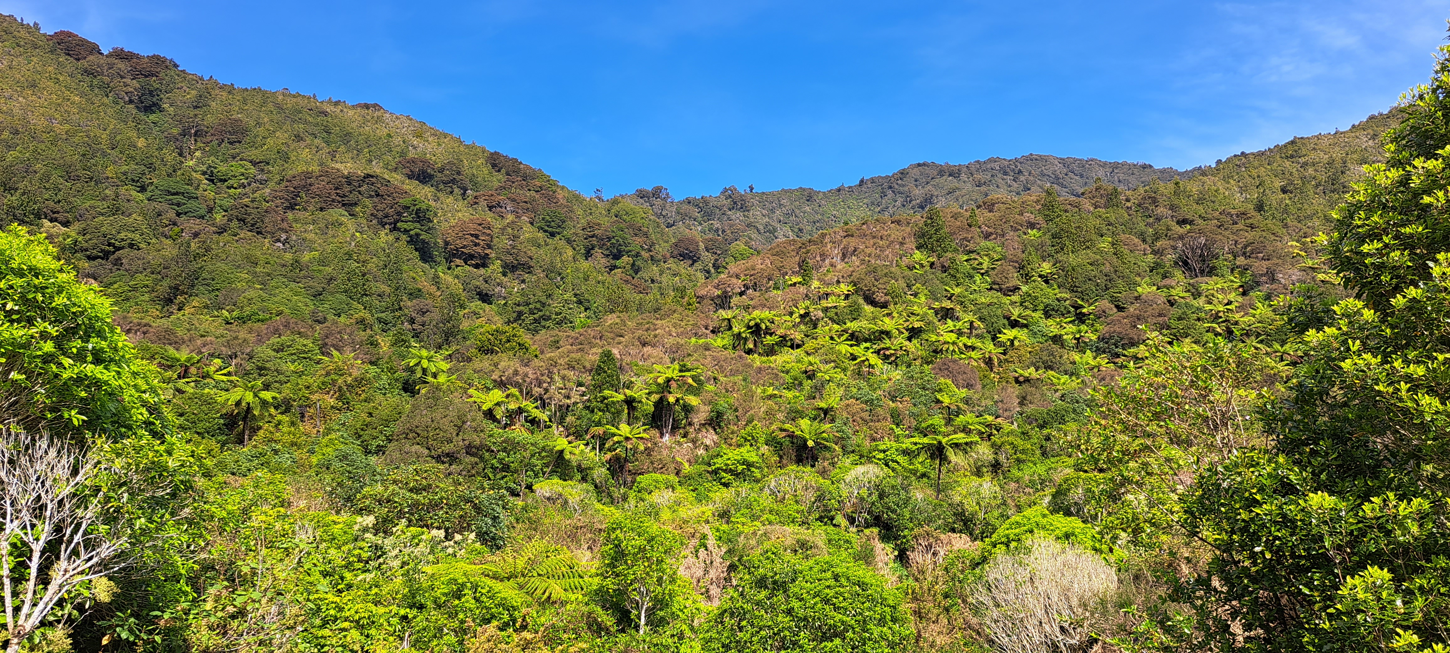
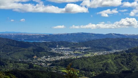
Looking at a forested foothill in the Remutaka Range. The Lower Hutt suburb of Wainuiomata is set below these foothills.
Click Jigshare icon to turn the image into a jigsaw. Or click on photo to download or view full screen image.

Looking at a forested foothill in the Remutaka Range. The Lower Hutt suburb of Wainuiomata is set below these foothills.
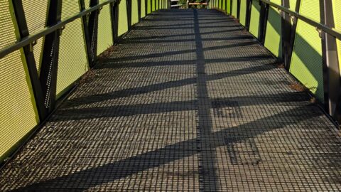
Pukeatua Bridge in Wainuiomata crosses Wainuiomata Road at its highest point, 189 meters above sea level. This places the...
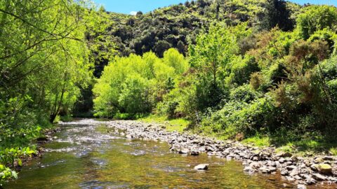
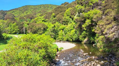
View of Wainuiomata River on the edge of Richard Prouse Park. This part of the river has a few...
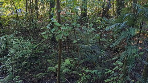
Typical young native plants growing on the forest floor in Ōrongorongo Forest Park, Wainuiomata. The ferns seen here are...
View of Top Pool a natural swimming hole in Wainuiomata River. Access is gained from the carpark at the...
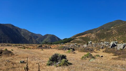
Looking towards the head of the Ōrongorongo Valley and into the Remutaka Range, as viewed from the coastal walk...
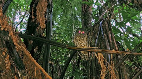
Observing a morepork (ruru), commonly referred to as the brown owl. Indigenous to New Zealand and Norfolk Island, this...
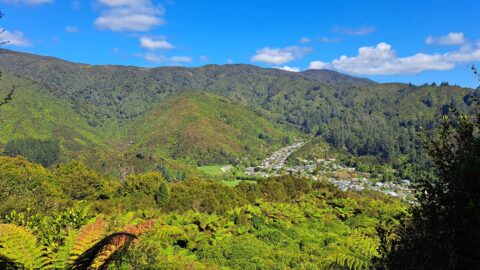
High up on a ridge in Wainuiomata Scenic Reserve, you can get a great view of Sunny Grove, Hine...
This bird’s-eye perspective of Wainuiomata illustrates how the suburb resides within its unique valley, distinct from the broader Hutt...
