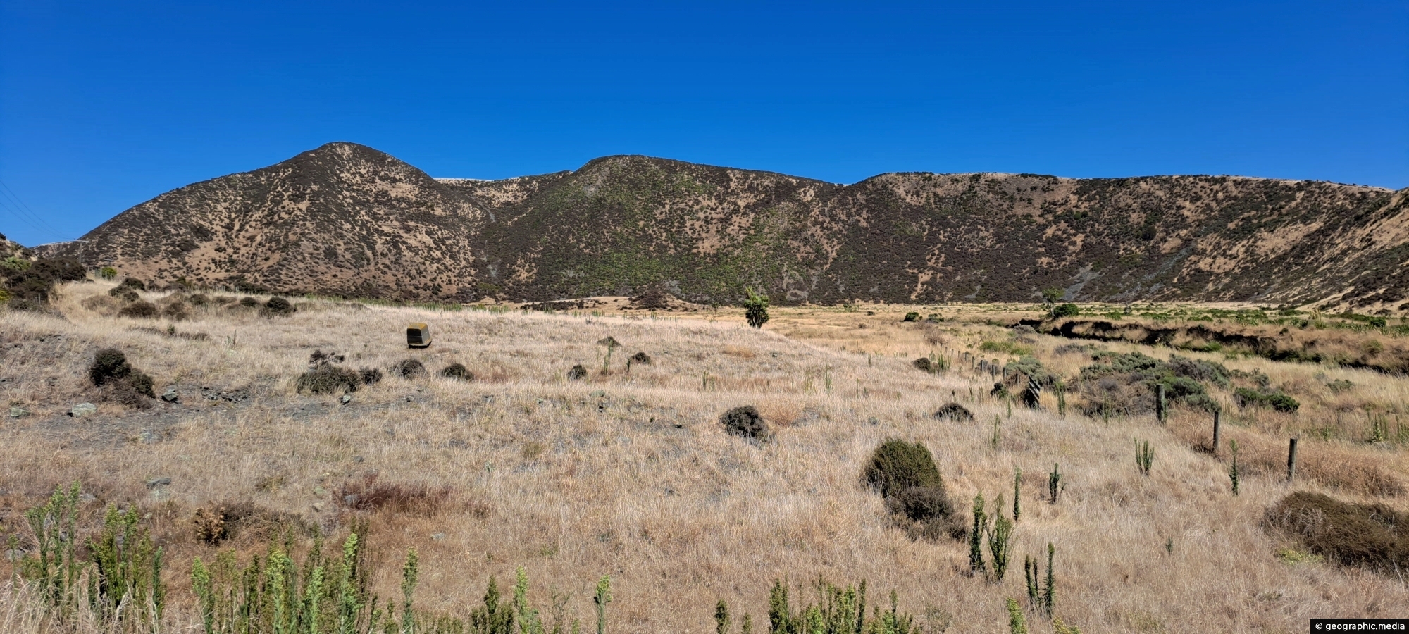
Gazing upon parched farmland during the summer months, situated along the Coast Road in Wainuiomata, New Zealand.
Click Jigshare icon to turn the image into a jigsaw. Or click on photo to download or view full screen image.

Gazing upon parched farmland during the summer months, situated along the Coast Road in Wainuiomata, New Zealand.
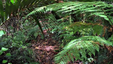
The Nikau Creek Track is a short 30 minute walk that takes you through the podocarp rainforest found in...
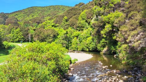
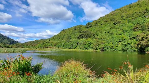
View of Top Pool a natural swimming hole in Wainuiomata River. Access is gained from the carpark at the...
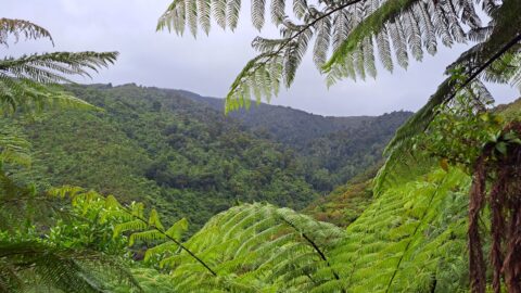
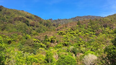
The sight from the summit of the western slope arm overlooks Nikau Creek Valley. On the opposing slope lies...
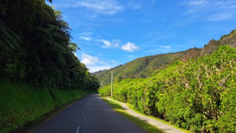
Reservoir Road in the Wainuiomata Waterworks Recreation Area gives you access to the dams and many walks in the...
Looking at a forested foothill in the Remutaka Range. The Lower Hutt suburb of Wainuiomata is set below these...
The suburb of Wainuiomata was largely comprised of swamp. in 1855 a massive 8.2 earthquake raised much land above...
Looking at the upper reaches of the Wainuiomata River at the foothills of the Remutaka range. Access to here...
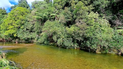
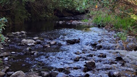
View of the Wainuiomata River in Reservoir Valley, downstream from the weirs that divert water for Wellington’s supply.
