
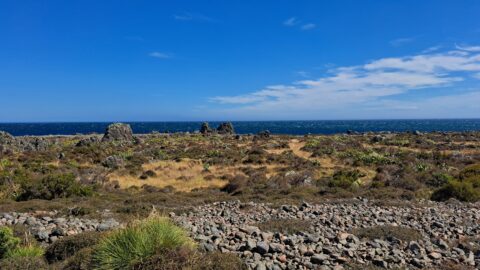
This view captures the eastern edge of the Remutaka Range in Palliser Bay, which can be accessed either via the Wairarapa or Wainuiomata.

Click Jigshare icon to turn the image into a jigsaw. Or click on photo to download or view full screen image.
