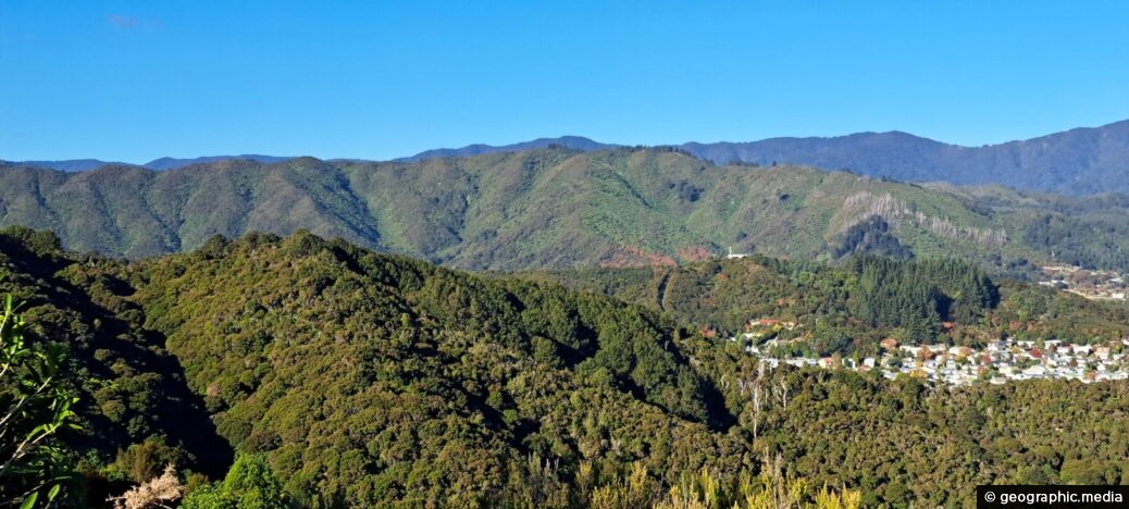
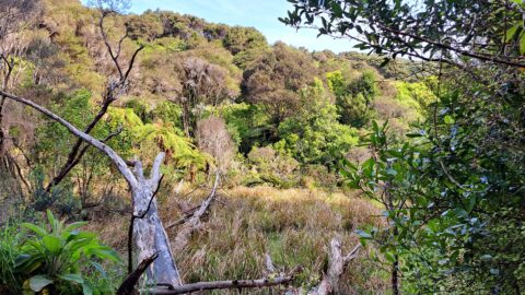
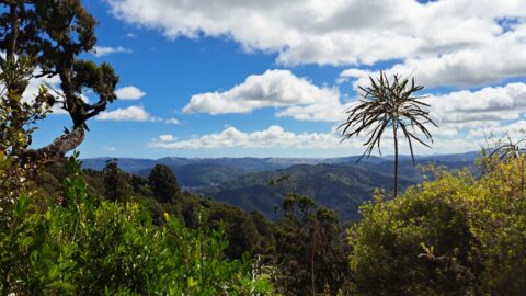
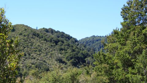
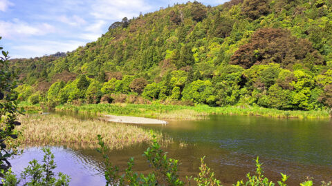
Gazing at the hills of Wainuiomata, with the Remutaka Range serving as a scenic backdrop. Wainuiomata is divided from the Hutt Valley by the western hills.
ALL / Explore Oceania / Explore New Zealand / New Zealand Photos / Remutaka Range photos / Wainuiomata Hills & Remutaka
All original royalty-free photos, shareable maps, and informative articles.
Wainuiomata Hills & Remutaka
Page Views
This post has been viewed 363 times
Related Articles
-
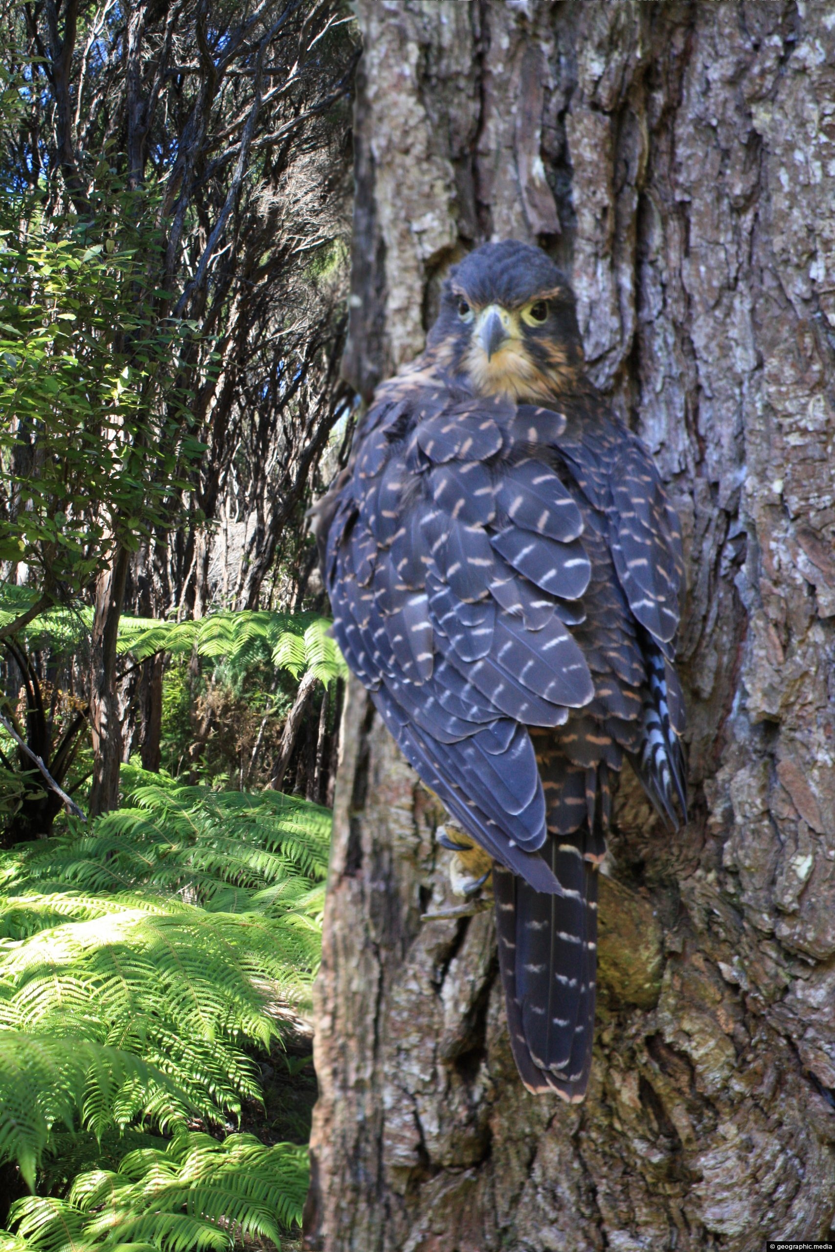
New Zealand Falcon
Remutaka Range photos, Animals, Birds, Portrait / Vertical
The New Zealand Falcon (Kārearea) is the only living bird of prey endemic to New Zealand. It exists south...
-
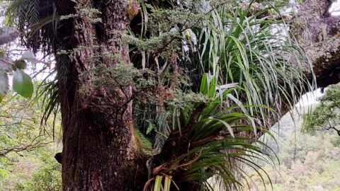
Large Tree with Epiphytes
Remutaka Range photos, Forests, Portrait / Vertical, Trees
Large trees serve as a refuge for numerous types of epiphytes within the podocarp rainforests found in the southern...
-
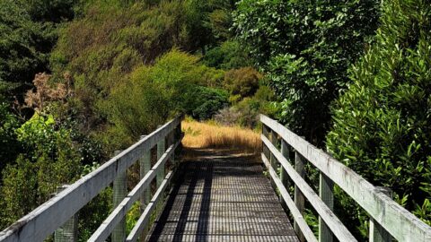
Bridge in Remutaka Forest Park
Remutaka Range photos, Bridges, Forests, Portrait / Vertical, Trails
Walking trails in the Remutaka Forest Park contain numerous walking bridges to get you across creeks that flow through...
-
Wetlands Area
Remutaka Range photos, Extra Wide Horizontal, Forests, Mountains
A tree is slowly rotting in a natural wetlands area inside the Wainuiomata Regional Park. The park is located...
-
Remutaka Hills View
Remutaka Range photos, Extra Wide Horizontal, Forests, Mountains
Observing the hills leading towards Wainuiomata from the summit of a ridge in the Remutaka Range, precisely along the...
-
Remutaka Forest Park
Remutaka Range photos, Forests, Landscape / Horizontal
Looking at the Remutaka Forest Park near the entrance on the Coast Road in Wainuiomata. The park contains numerous...
-
Wetland Remutaka
Remutaka Range photos, Extra Wide Horizontal, Forests, Wetlands
This wetland area is located at the foothills of the Remutaka Range in the Wainuiomata Recreational Area.
-
Catchpool Stream in Wainuiomata
Remutaka Range photos, Forests, Portrait / Vertical, Rivers
Catchpool Stream in Wainuiomata is a tributary of Wainuiomata River. The stream flows through the Remutaka Range and out...
0 Comments
Calendar
| M | T | W | T | F | S | S |
|---|---|---|---|---|---|---|
| 1 | 2 | 3 | 4 | |||
| 5 | 6 | 7 | 8 | 9 | 10 | 11 |
| 12 | 13 | 14 | 15 | 16 | 17 | 18 |
| 19 | 20 | 21 | 22 | 23 | 24 | 25 |
| 26 | 27 | 28 | 29 | 30 | 31 | |
Popular Posts
- Awakening New Zealand video (100)
- Iguazu Falls as seen from Brazil (87)
- Metrocable Medellin (78)
- Pauatahanui Inlet (69)
- Spinnaker Hill in Whitby Porirua (68)
- Spinnaker Hill View (68)
- View from Whitby (68)
- The Devil’s Throat (62)
- Aerial View of Iguazu Falls (61)
- Porirua Harbour & Papakowhai (57)
- Lake Wakatipu (57)
- Salto Rivadavia & Iguassu River (56)
- Lake Tekapo & Lupins (54)
- Nelson View (53)
- Salto Rivadavia Misiones Province (53)
- Cascadas at Iguazu (53)
Subjects
AccommodationAnimalsArchitectureBeachesBirdsBoatsBridgesBuildingsCarsChurchesCitiesCoralCultureExtra Wide HorizontalFlowersForestsHarborsHomesIslandsLakesLandscape / HorizontalMapsMenMonumentsMountainsPalmsParksPeoplePlantsPortrait / VerticalRiversRoadsRuralSeaShopsSkyscrapersSnowSunsetsTownsTrailsTransportTreesVideosVolcanicWaterfalls
Recent Comments
- Lance on Concrete Hut Wainuiomata
- Tony on Concrete Hut Wainuiomata
- DavidJ on Wellington Night Skyline
- Ben on Auckland City Skyline from Westhaven Marina in 1998
- Ben on Auckland Harbour Bridge view

