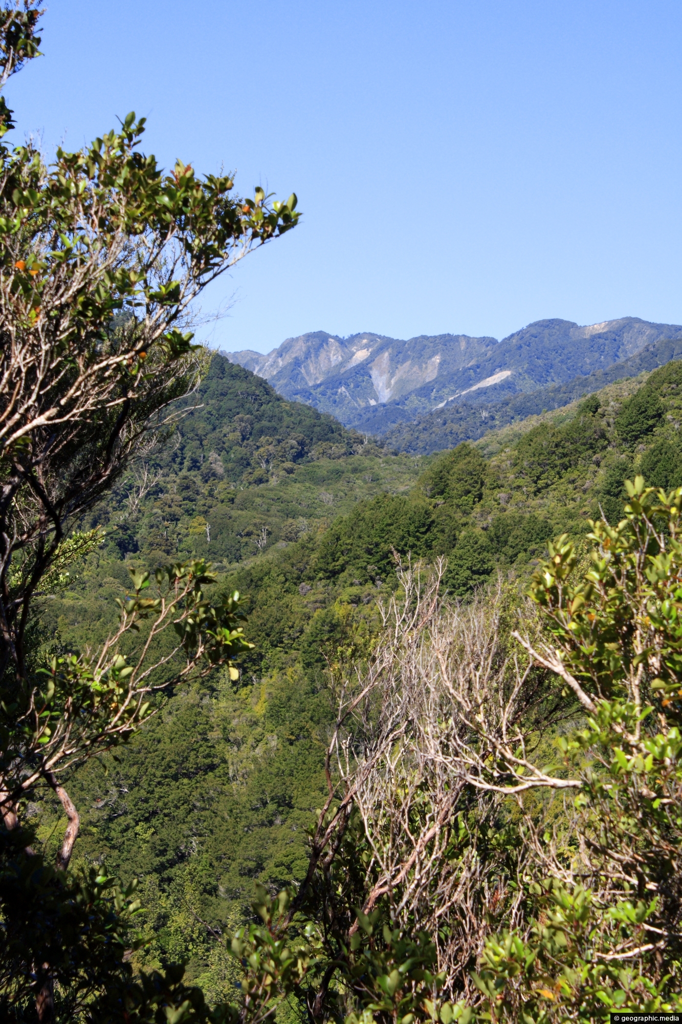
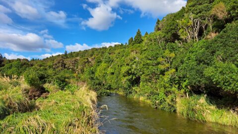
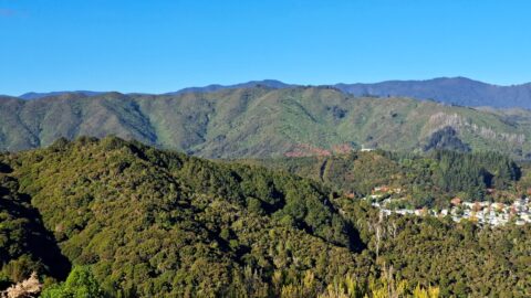
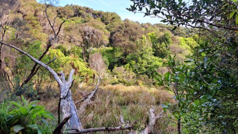
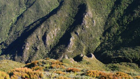
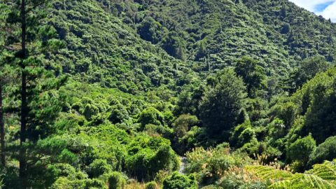
From within Remutaka Forest Park, one can view Clay Ridge, which can be accessed via a trail that commences at Clay Forks where Five Mile Loop Track and Middle Ridge Track meet. The trail ascends Clay Ridge, culminating at the peak of Mt McKerrow, standing at 706 meters tall.
ALL / Explore Oceania / Explore New Zealand / New Zealand Photos / Remutaka Range photos / Clay Ridge and Remutaka Forest
All original royalty-free photos, shareable maps, and informative articles.
Clay Ridge and Remutaka Forest
Page Views
This post has been viewed 301 times
Related Articles
-
McKerrow Track Facilities
Remutaka Range photos, Extra Wide Horizontal, Forests
Near the beginning of the McKerrow Track is this toilet facility. The art work depicts a Yellowhead bird also...
-
Remutaka Hill Road
Remutaka Range photos, Forests, Landscape / Horizontal, Mountains, Roads
View of the Remutaka Hill Road which connects Wellington to the Wairarapa. The road also marks the boundary between...
-
Wetlands Area
Remutaka Range photos, Extra Wide Horizontal, Forests, Mountains
A tree is slowly rotting in a natural wetlands area inside the Wainuiomata Regional Park. The park is located...
-
Catchpool Valley View
Remutaka Range photos, Forests, Portrait / Vertical
Perspective of Catchpool Valley in Wainuiomata, observed from the Five Mile Loop Track. The path swiftly delves into a...
-
Richard Prouse Park & Remutaka Range
Remutaka Range photos, Extra Wide Horizontal, fog, Mountains, Parks
Low hanging clouds in Wainuiomata are trapped by the Remutaka Range with Richard Prouse Park in the foreground.
-
Alpine Vegetation Remutaka
Remutaka Range photos, Lakes, Landscape / Horizontal, Mountains
View of alpine vegetation on a mountain top in the Remutaka ranges. Lake Wairarapa can just be seen in...
-
Remutaka Foothills
Remutaka Range photos, Extra Wide Horizontal, Forests
View of the Remutaka foothills located inside Wainuiomata Regional Park. The park borders one of the most extensive tracts...
-
Wetland Remutaka
Remutaka Range photos, Extra Wide Horizontal, Forests, Wetlands
This wetland area is located at the foothills of the Remutaka Range in the Wainuiomata Recreational Area.
0 Comments
Calendar
M | T | W | T | F | S | S |
---|---|---|---|---|---|---|
1 | 2 | |||||
3 | 4 | 5 | 6 | 7 | 8 | 9 |
10 | 11 | 12 | 13 | 14 | 15 | 16 |
17 | 18 | 19 | 20 | 21 | 22 | 23 |
24 | 25 | 26 | 27 | 28 |
Popular Posts
- Awakening New Zealand video (100)
- Iguazu Falls as seen from Brazil (87)
- Metrocable Medellin (78)
- Pauatahanui Inlet (69)
- Spinnaker Hill in Whitby Porirua (68)
- Spinnaker Hill View (68)
- View from Whitby (68)
- The Devil’s Throat (62)
- Aerial View of Iguazu Falls (61)
- Porirua Harbour & Papakowhai (57)
- Lake Wakatipu (57)
- Salto Rivadavia & Iguassu River (56)
- Lake Tekapo & Lupins (54)
- Nelson View (53)
- Salto Rivadavia Misiones Province (53)
- Cascadas at Iguazu (53)
Subjects
AccommodationAnimalsArchitectureBeachesBirdsBoatsBridgesBuildingsCarsChurchesCitiesCoralCultureExtra Wide HorizontalFlowersForestsHarborsHomesIslandsLakesLandscape / HorizontalMapsMenMonumentsMountainsPalmsParksPeoplePlantsPortrait / VerticalRiversRoadsRuralSeaShopsSkyscrapersSnowSunsetsTownsTrailsTransportTreesVideosVolcanicWaterfalls
Recent Comments
- Lance on Concrete Hut Wainuiomata
- Tony on Concrete Hut Wainuiomata
- DavidJ on Wellington Night Skyline
- Ben on Auckland City Skyline from Westhaven Marina in 1998
- Ben on Auckland Harbour Bridge view