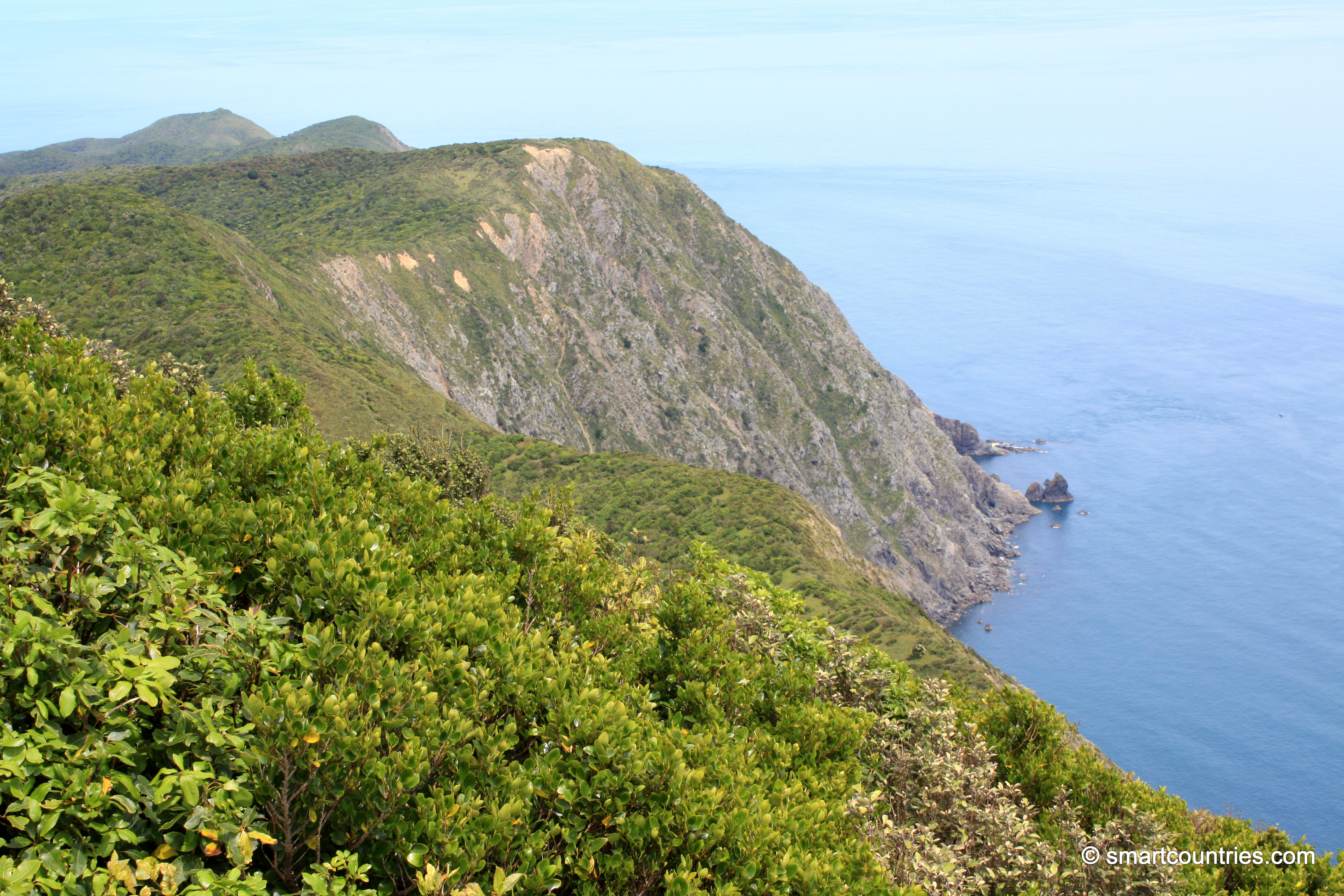
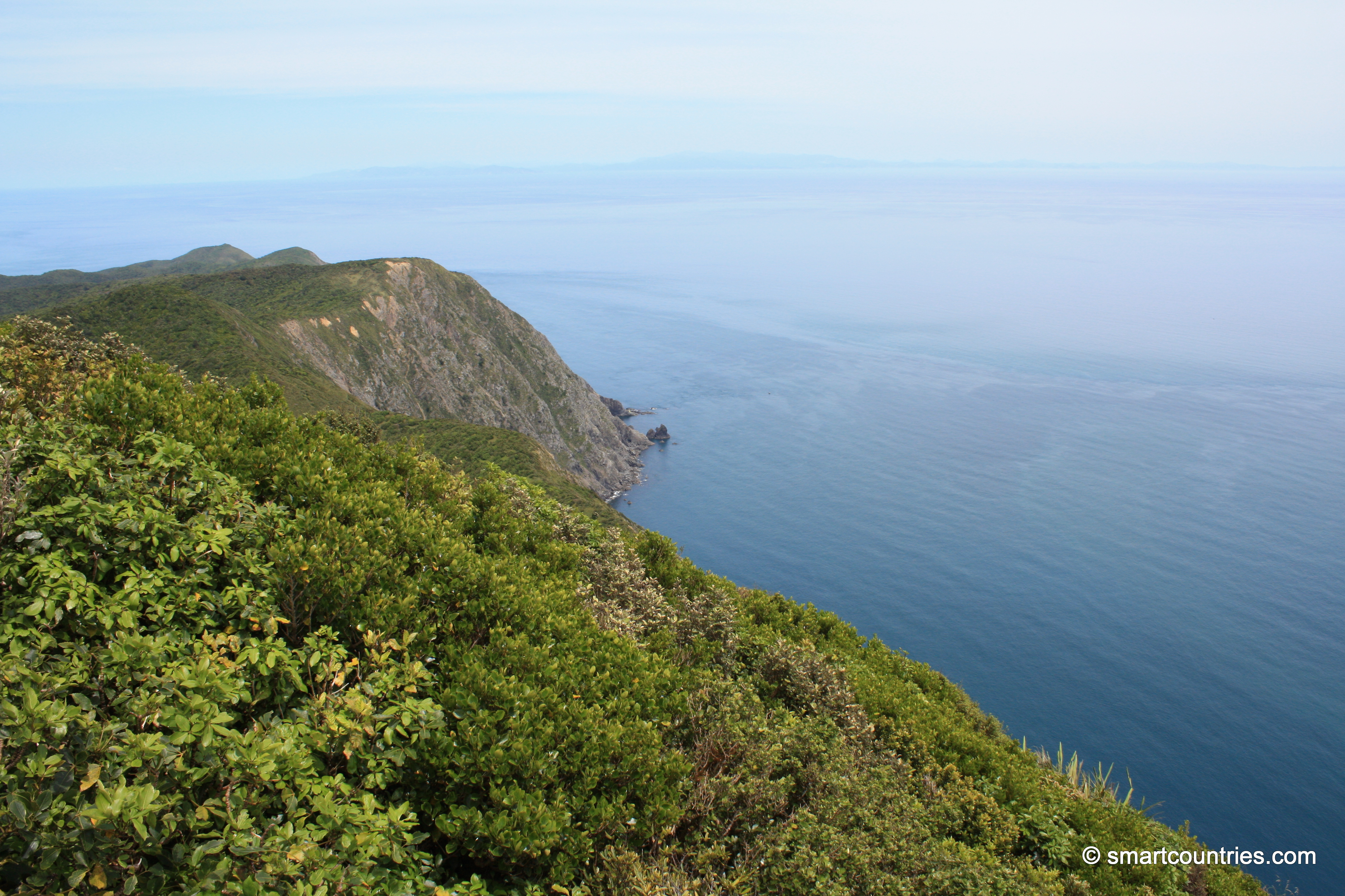
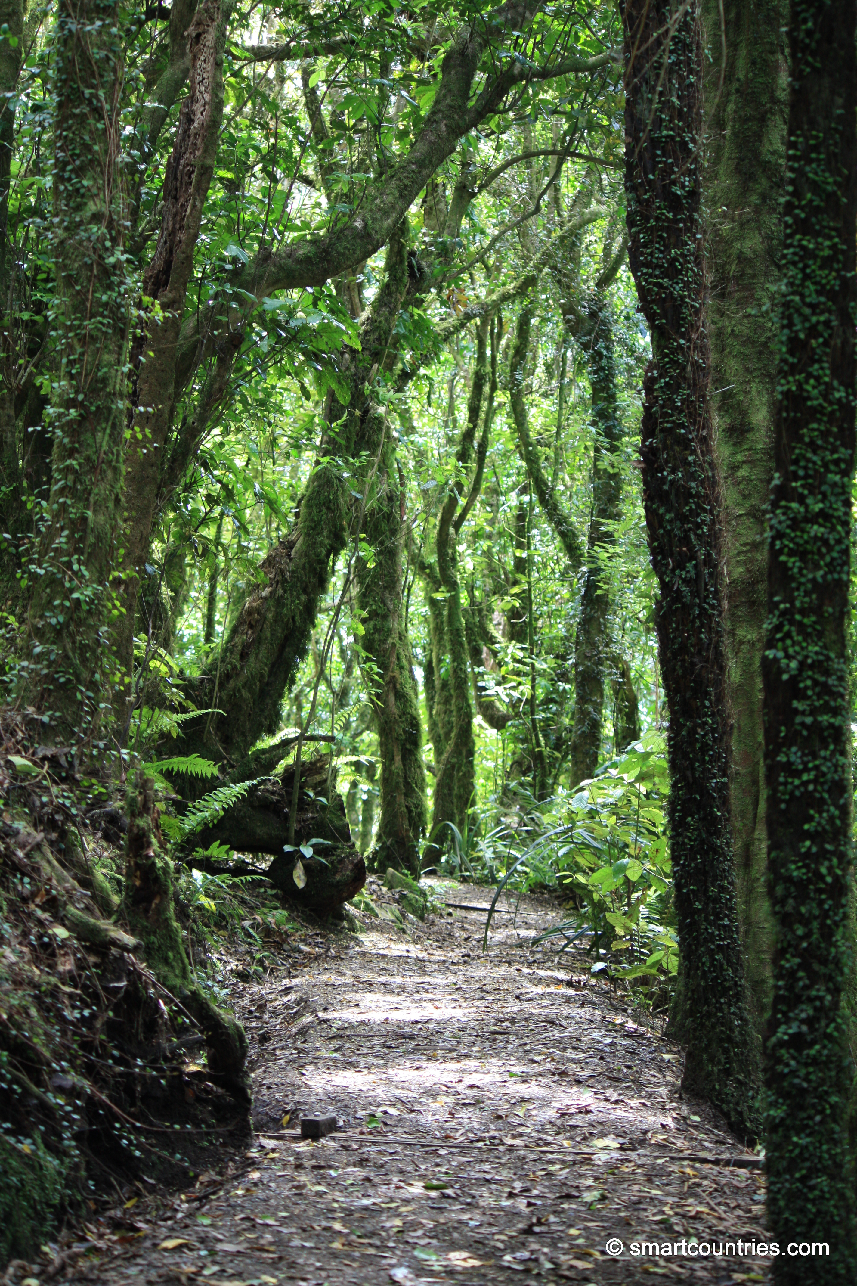
View of the Wilkinson Track on Kapiti Island. This track takes you to Tuteremoana, the highest point on the island.
Click image for fullscreen.

View of the Wilkinson Track on Kapiti Island. This track takes you to Tuteremoana, the highest point on the island.
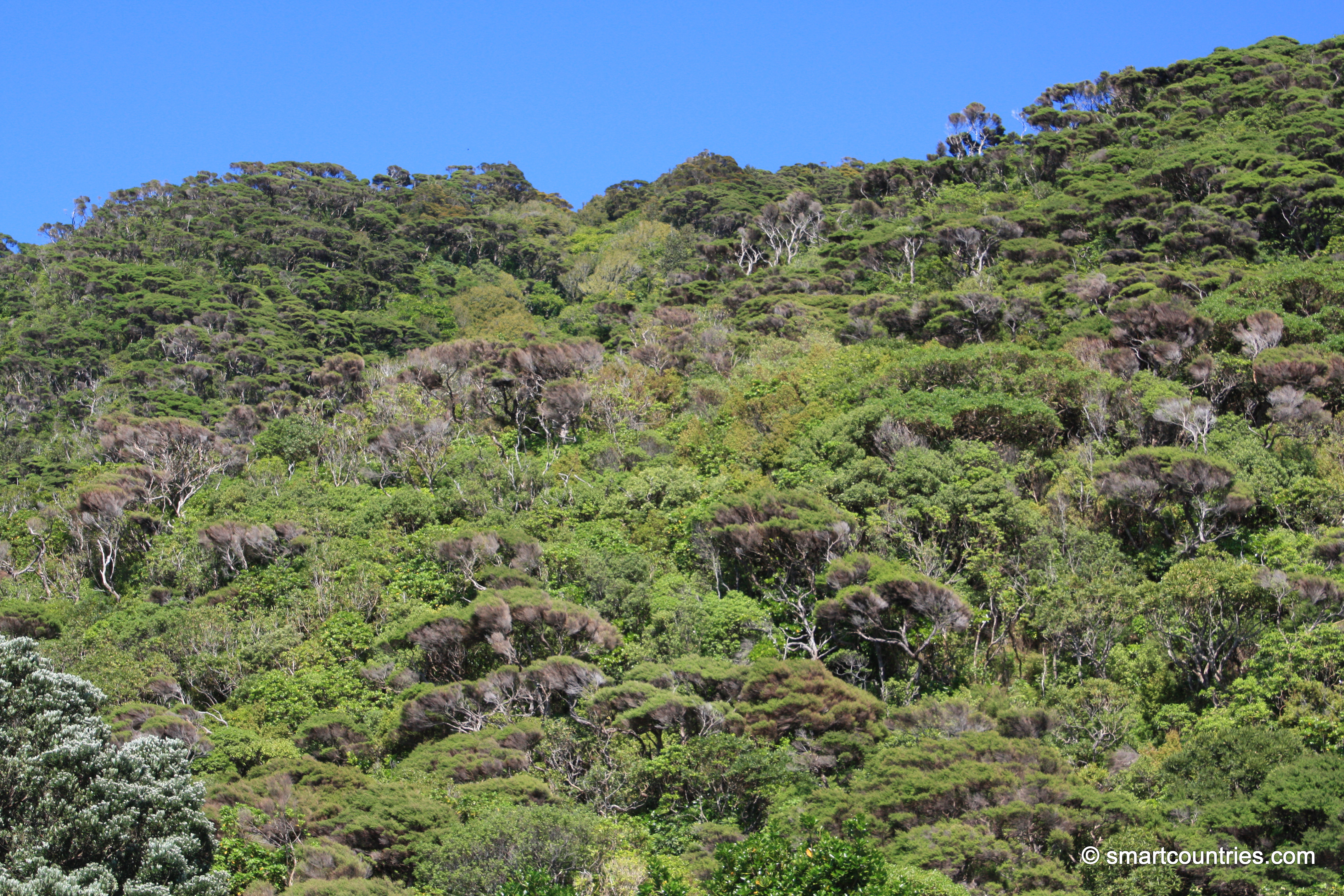
Looking up a slope on Kapiti Island at the forest cover. Underneath is a world of rare birds and...
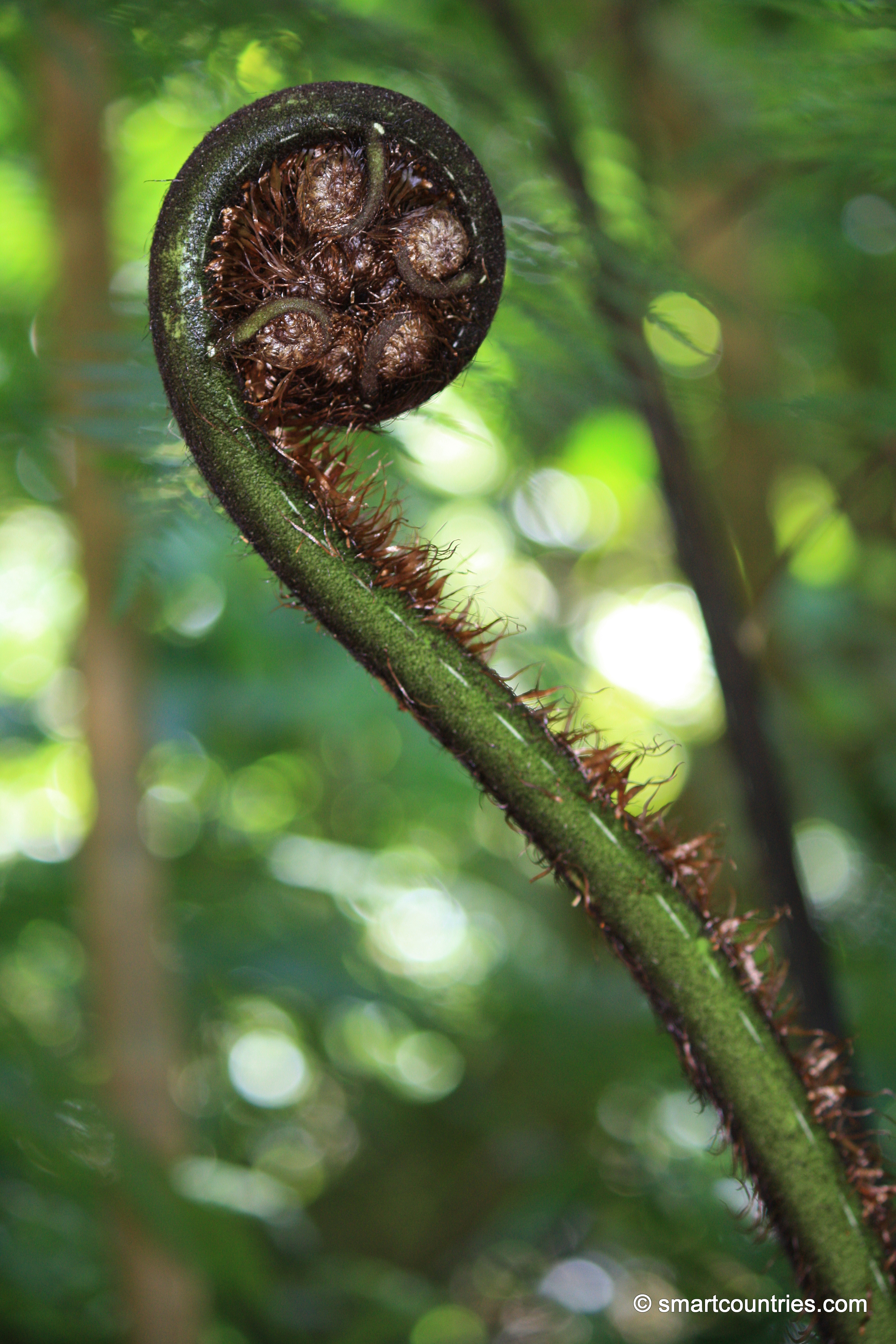
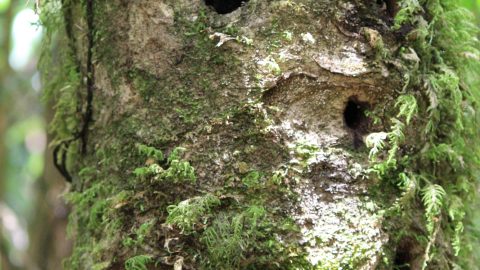
The Koru shape is an important design in tattoo for the Maori. Its inspiration comes from an unfurling fern...
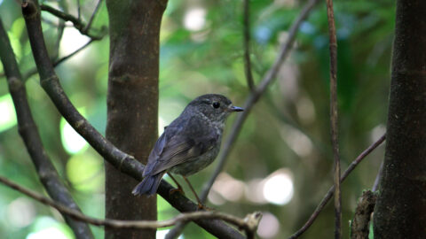
View of a wild Robin on Kapiti Island. Kapiti Island is a bird sanctuary for endangered New Zealand birds.
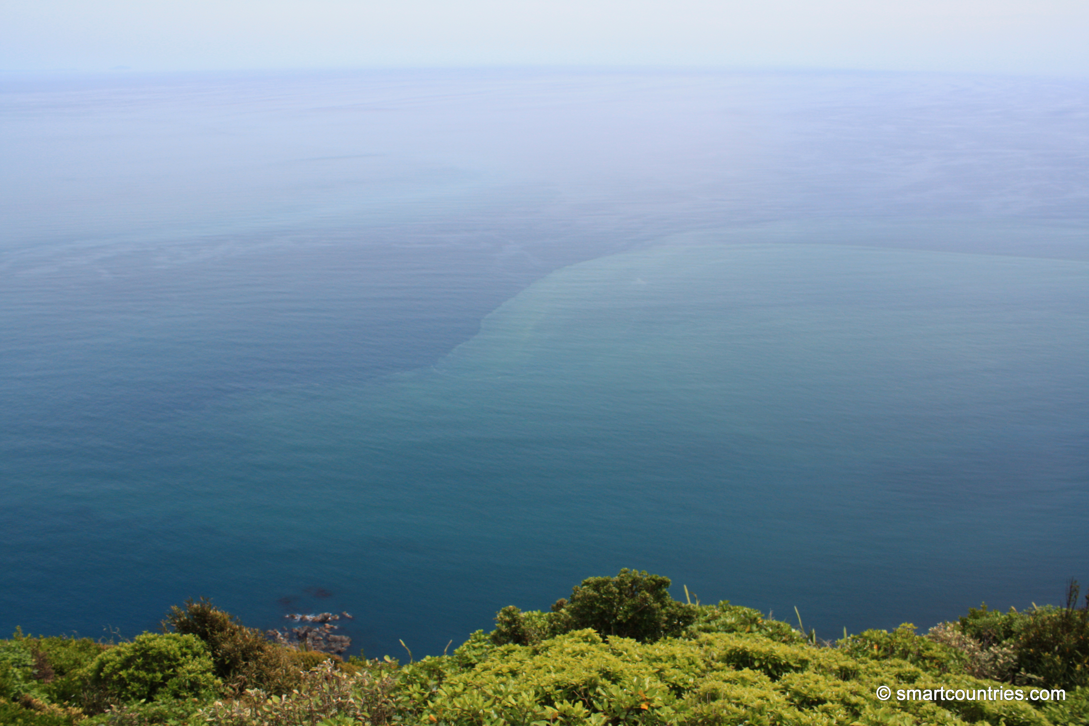
Western view from the highest peak on Kapiti Island looking out toward the Tasman Sea. The Tasman is the...