
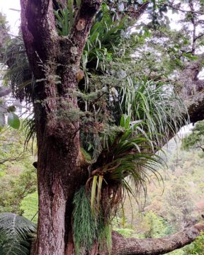
Large trees serve as a refuge for numerous types of epiphytes within the podocarp rainforests found in the southern...
Remutaka Range photos
About
About the Remutaka Range
Photos of the Remutaka Range in the Wellington region
The Remutaka Range comprises the southern part of the largest chain of mountains on New Zealand’s North Island. This chain of mountains runs from the Gisborne Region to the south coast in the Wellington Region. Additionally, it forms the boundary between Wellington and the Wairarapa.
Turakirae Head, located on the southern coast of the North Island, marks the extreme southern end of the range, while the northern boundary is marked by the Remutaka Hill Road. The Tararua Range lies beyond the latter boundary.
The western side of the range is lush due to the moist air rising and producing precipitation, while the eastern side is warmer and drier, making it suitable for the thriving wine industry on the plains below.
The range is home to temperate beech and rainforests, as well as alpine vegetation at higher altitudes. There are numerous bush trails that showcase the diverse flora and are accompanied by rivers such as the Orongorongo River and Wainuiomata River.
Although the Remutaka Range is not well-known to international tourists, locals consider it a destination for bushwalking and to escape from the hustle and bustle of the city. Hunting is allowed in the bush, with the exception of the Remutaka Forest Park located in the Lower Hutt suburb of Wainuiomata.
For more photos of the Remutaka (Rimutaka) Range, visit Virtual New Zealand.
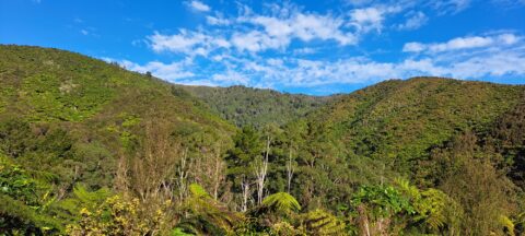
The McKerrow Track rises up the ridge in the center of the photo then along other ridges behind this...
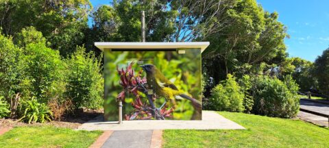
Near the beginning of the McKerrow Track is this toilet facility. The art work depicts a Yellowhead bird also...
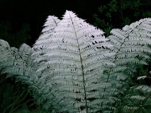
A silver fern at dusk with use of a flash reflecting off the underside of the fronds. The Silver...
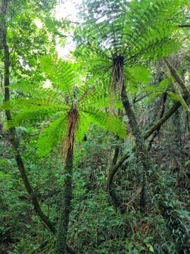
View of black tree ferns in the Remutaka forest. Known by its botanical name as Cyathea medullaris, it is...
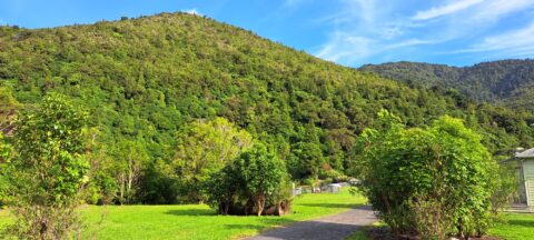
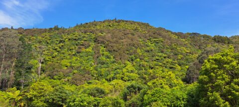
View of the Remutaka foothills located inside Wainuiomata Regional Park. The park borders one of the most extensive tracts...
View of a field containing toetoe. Toetoe is a type of grass native to New Zealand and is similar...
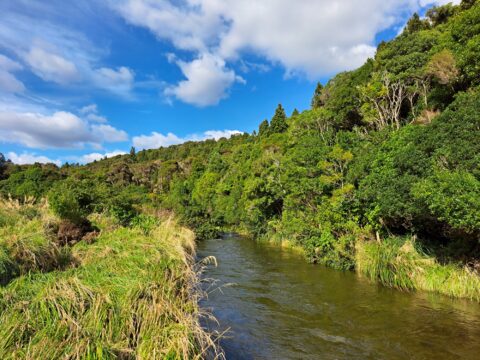
View of the upper reaches of the Wainuiomata River at the foothills of the Remutaka mountain range in the...
View of a forested hillside within the Remutaka mountains located inside the Wainuiomata Recreational Reserve.
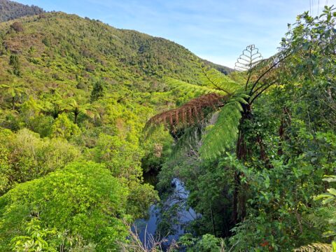
Wainuiomata River is just visible here when looking down onto the canopy of this tract of forest in the...
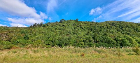
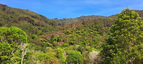
Looking at the foothills of the Remutaka Range in the Wellington region. In view is a mixture of native...

This wetland area is located at the foothills of the Remutaka Range in the Wainuiomata Recreational Area.

Recent Comments