Mt Ruapehu in New Zealand is a volcano that still erupts from time to time. It’s slopes are made...
Mt Ruapehu photos
About Mt Ruapehu
Our photos of Mt Ruapehu include the volcano and flora and fauna on the slopes of this peak.
Mt Ruapehu is an active volcano located in the central North Island of New Zealand. It is the largest active volcano in New Zealand and has erupted several times in the past century, most recently in 1995 and 1996.
Mt Ruapehu is a popular destination for skiing in the winter, with two major ski resorts located on its slopes. In the summer, visitors can enjoy hiking, mountain biking, and other outdoor activities.
Mt Ruapehu is part of the Tongariro National Park, which is a UNESCO World Heritage site known for its natural beauty and cultural significance.
The mountain is the tallest peak in the North Island, standing at 2,797 meters (9,177 feet). While the mountain is tall, it has a flattish top due to eruptions where it blew its top. There are a total of 18 glaciers on the mountain and below the snowline are some ancient beech forests and a few spectacular waterfalls.
For more photos of Mt Ruapehu, visit Virtual New Zealand.
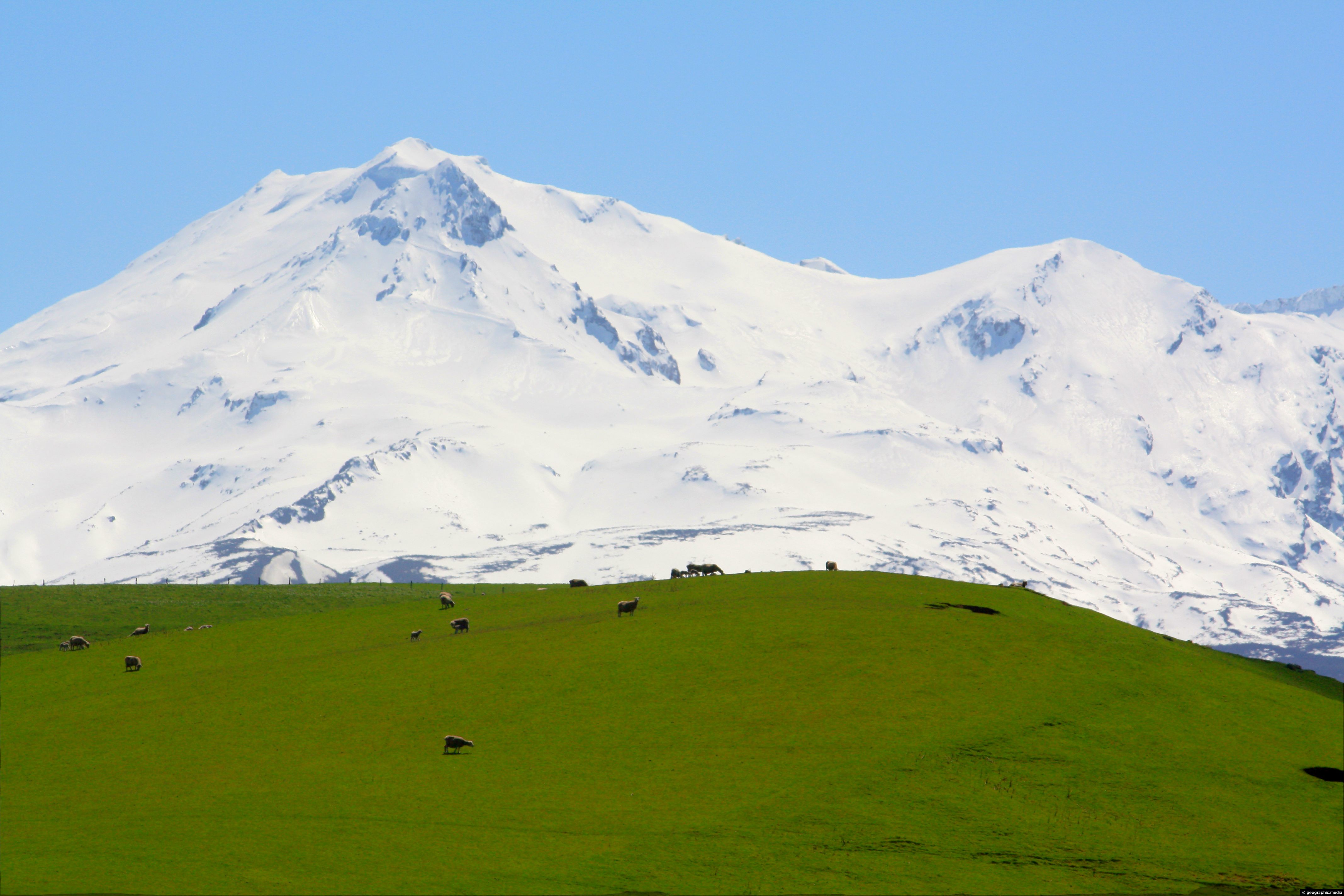
Lush farmland near Waiouru with snow capped Mount Ruapehu in the background.
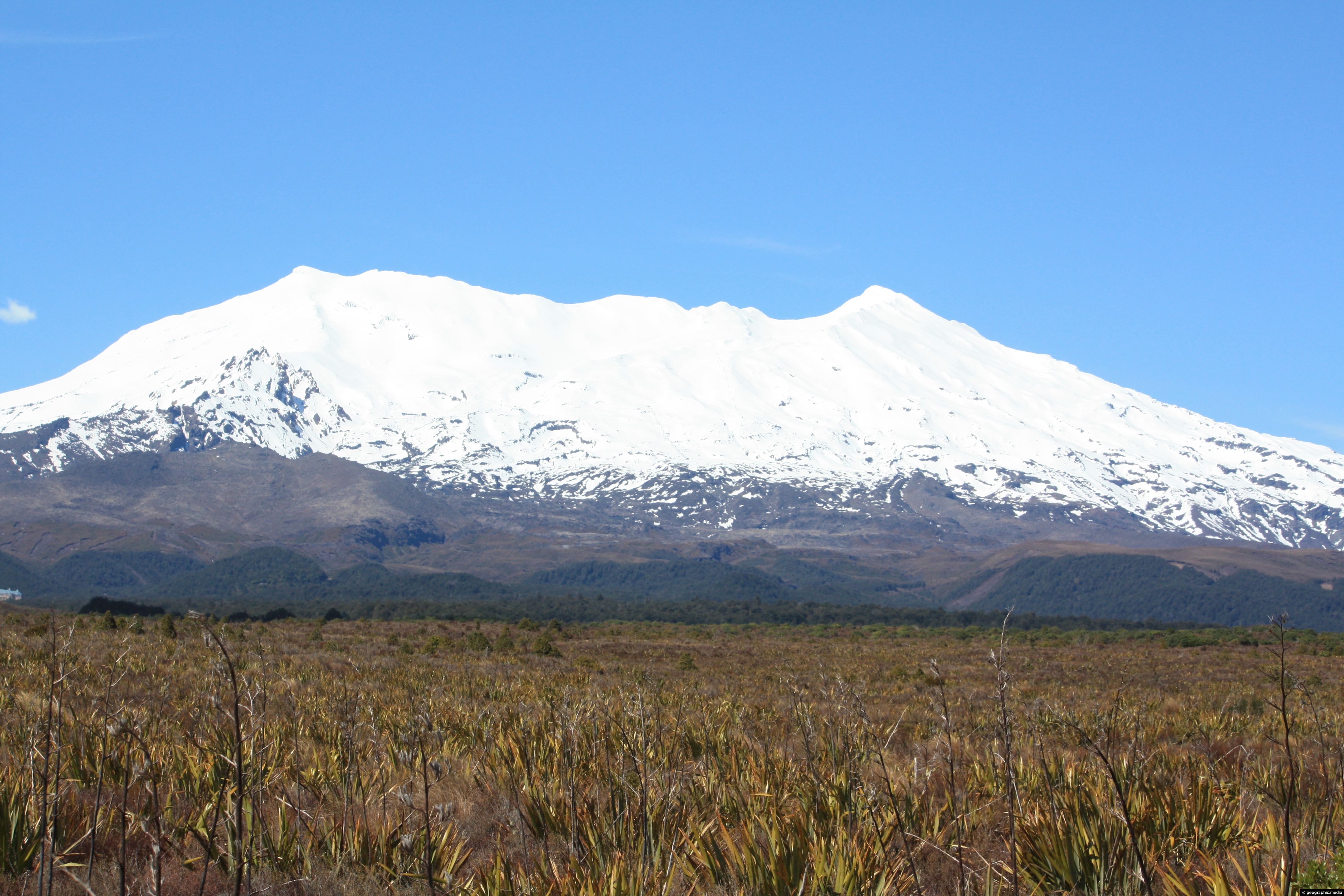
View of a snow capped Mt Ruapheu rising out of the Central Plateau are of New Zealand’s North Island.
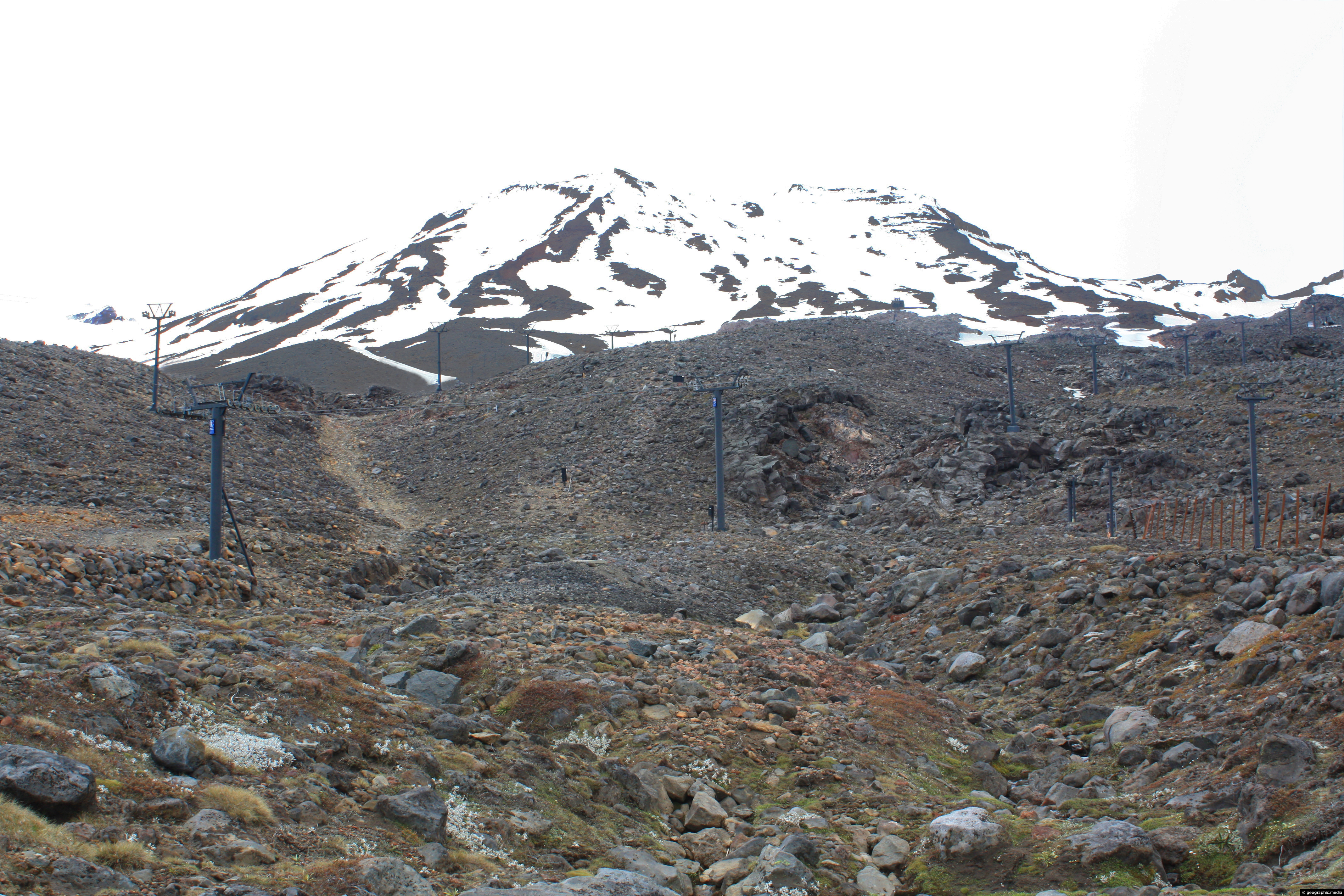
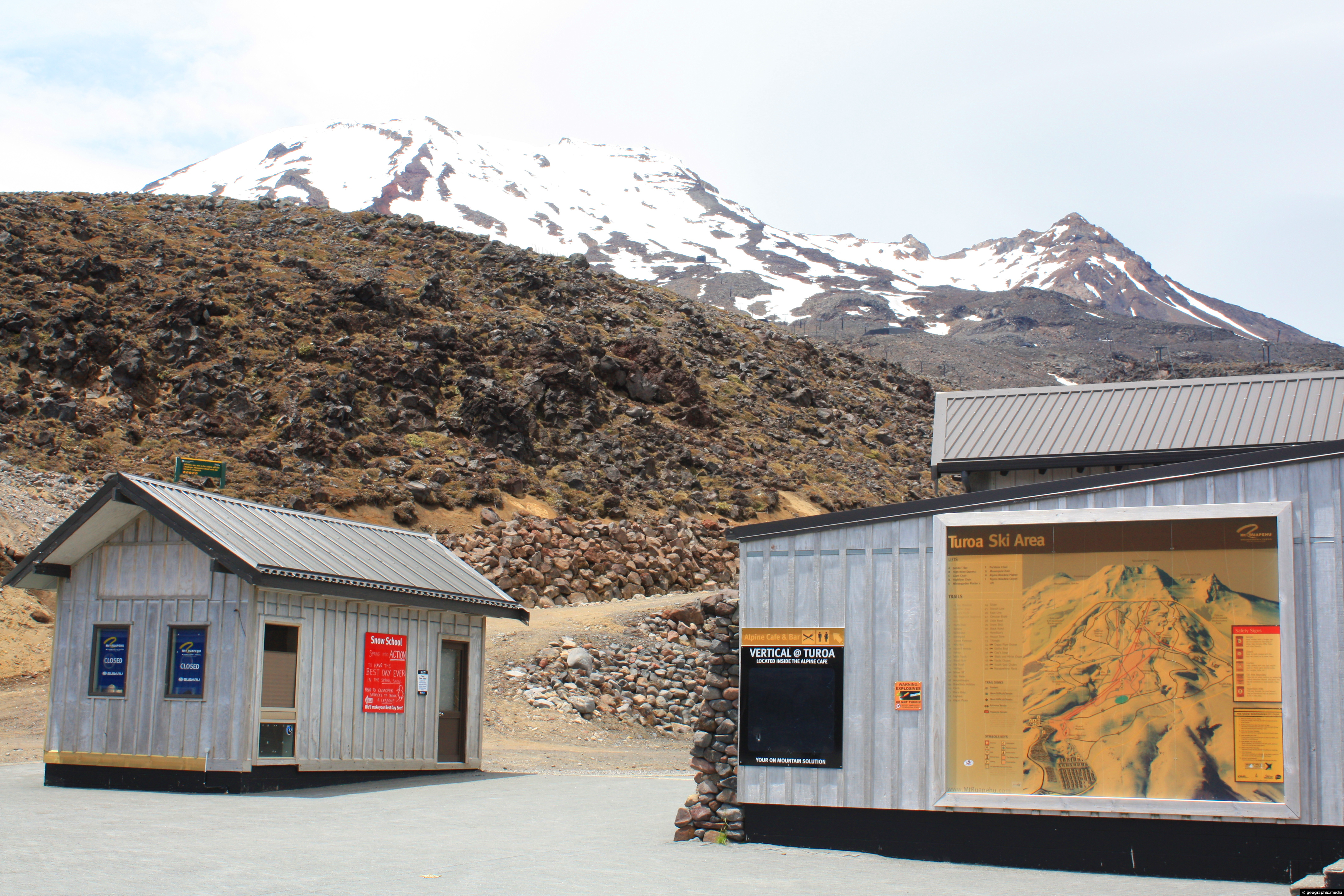
Winter snow has receded and the ski season ended at Turoa Ski Field in New Zealand.
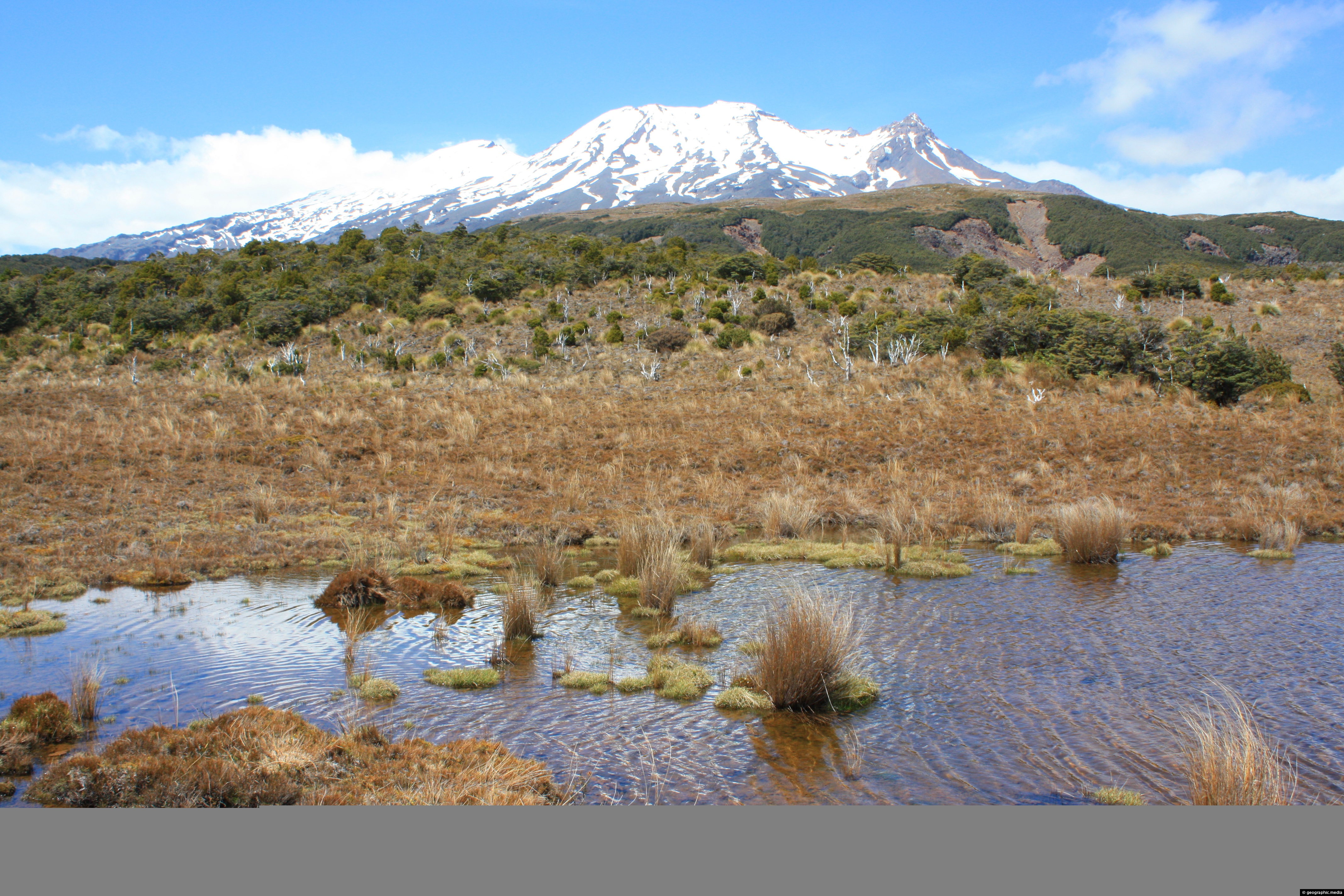
View of Mt Ruapehu from Waitonga Falls Walk
Mt Ruapehu photos, Lakes, Landscape / Horizontal, Mountains, Plants, Snow, VolcanicView of Mt Ruapehu’s southern face from an open area of tussock on the Waitonga Falls Walk.
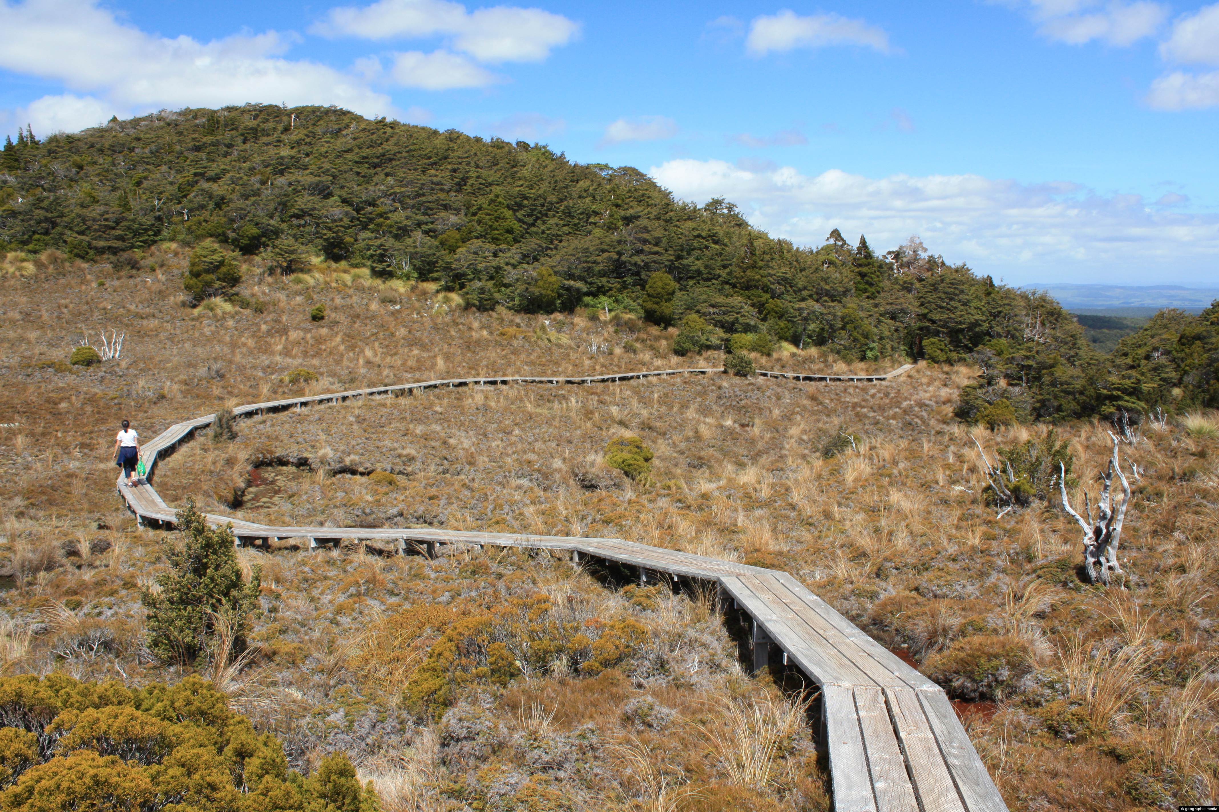
This section of Waitonga Falls Track uses an extensive boardwalk over an open area consisting of tussock.
Mount Ruapehu from Kapiti Lookout
Mt Ruapehu photos, Landscape / Horizontal, Mountains, Sea, Snow, VolcanicOn rare occasions, you can see Mount Ruapehu which is 200km away from the 237 meter high Paekakariki Hill...
Lush green farmland at the foot of Mount Ruapehu in the central North Island. The fertile farmland is possible...
Calendar
| M | T | W | T | F | S | S |
|---|---|---|---|---|---|---|
| 1 | ||||||
| 2 | 3 | 4 | 5 | 6 | 7 | 8 |
| 9 | 10 | 11 | 12 | 13 | 14 | 15 |
| 16 | 17 | 18 | 19 | 20 | 21 | 22 |
| 23 | 24 | 25 | 26 | 27 | 28 | 29 |
| 30 | ||||||
Popular Posts
- Awakening New Zealand video (100)
- Iguazu Falls as seen from Brazil (87)
- Metrocable Medellin (78)
- Pauatahanui Inlet (69)
- Spinnaker Hill in Whitby Porirua (68)
- Spinnaker Hill View (68)
- View from Whitby (68)
- The Devil’s Throat (62)
- Aerial View of Iguazu Falls (61)
- Porirua Harbour & Papakowhai (57)
- Lake Wakatipu (57)
- Salto Rivadavia & Iguassu River (56)
- Lake Tekapo & Lupins (54)
- Nelson View (53)
- Salto Rivadavia Misiones Province (53)
- Cascadas at Iguazu (53)

Recent Comments