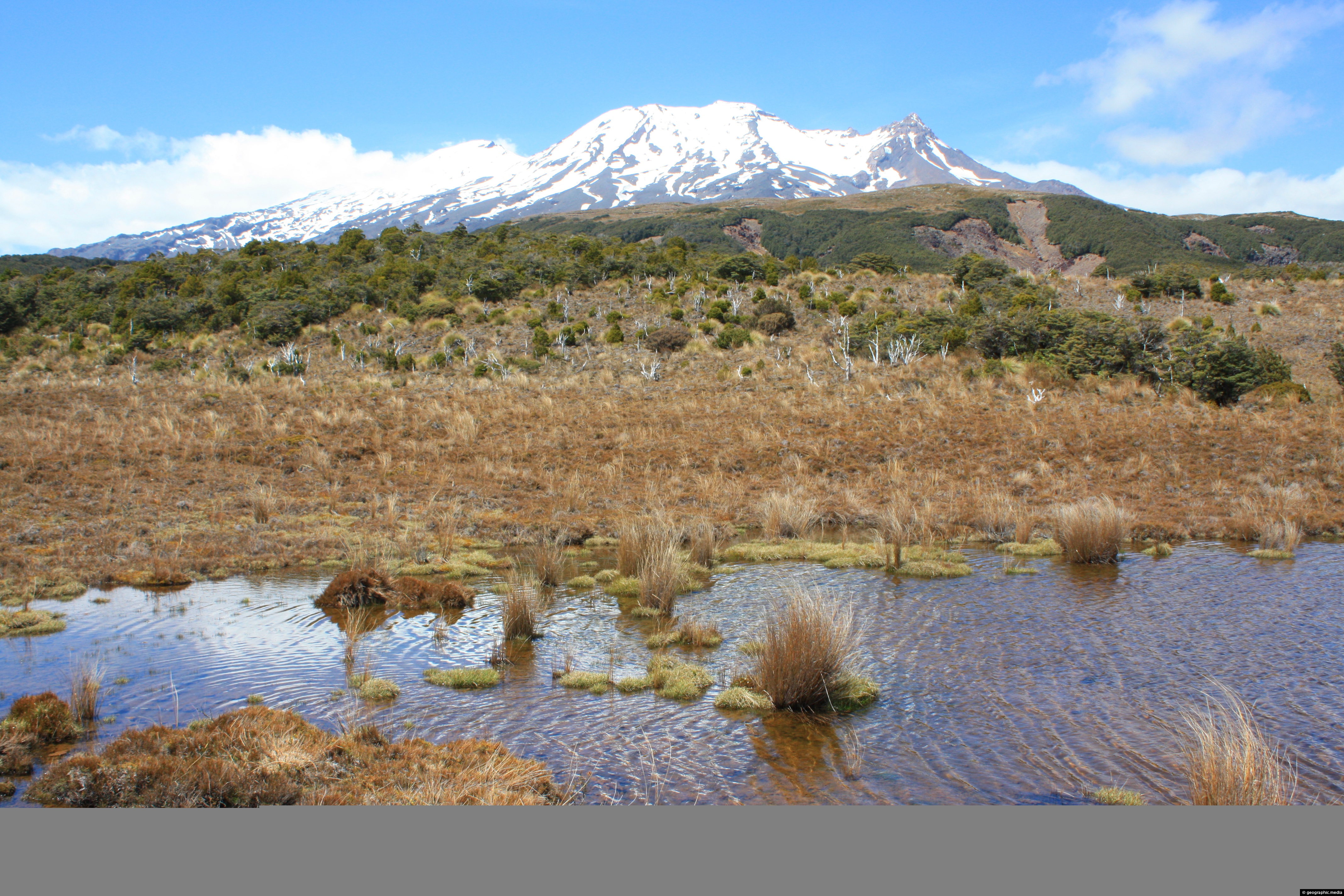
View of Mt Ruapehu’s southern face from an open area of tussock on the Waitonga Falls Walk.
Click image for fullscreen.

View of Mt Ruapehu’s southern face from an open area of tussock on the Waitonga Falls Walk.
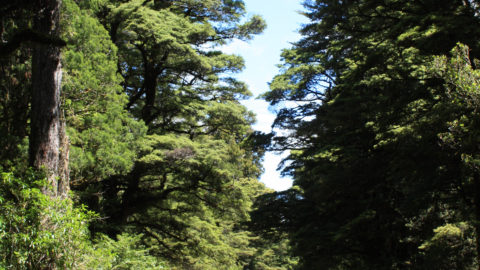
View of Ohakune Mountain Road in New Zealand. The road connects the town of Ohakune with Turoa Ski Field...
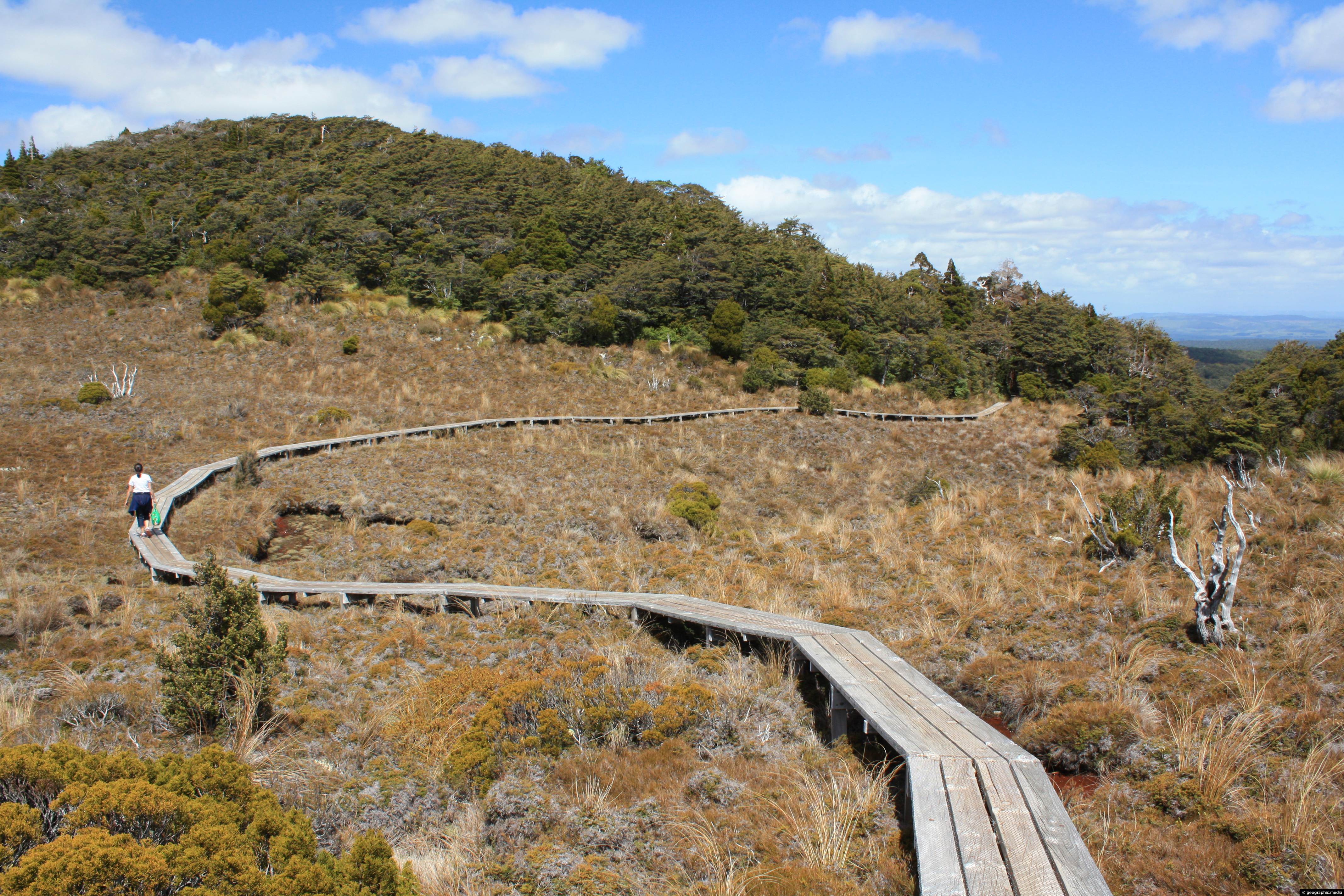
This section of Waitonga Falls Track uses an extensive boardwalk over an open area consisting of tussock.
Mt Ruapehu in New Zealand is a volcano that still erupts from time to time. It’s slopes are made...
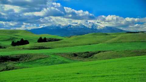
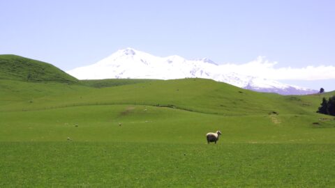
Lush green farmland at the foot of Mount Ruapehu in the central North Island. The fertile farmland is possible...
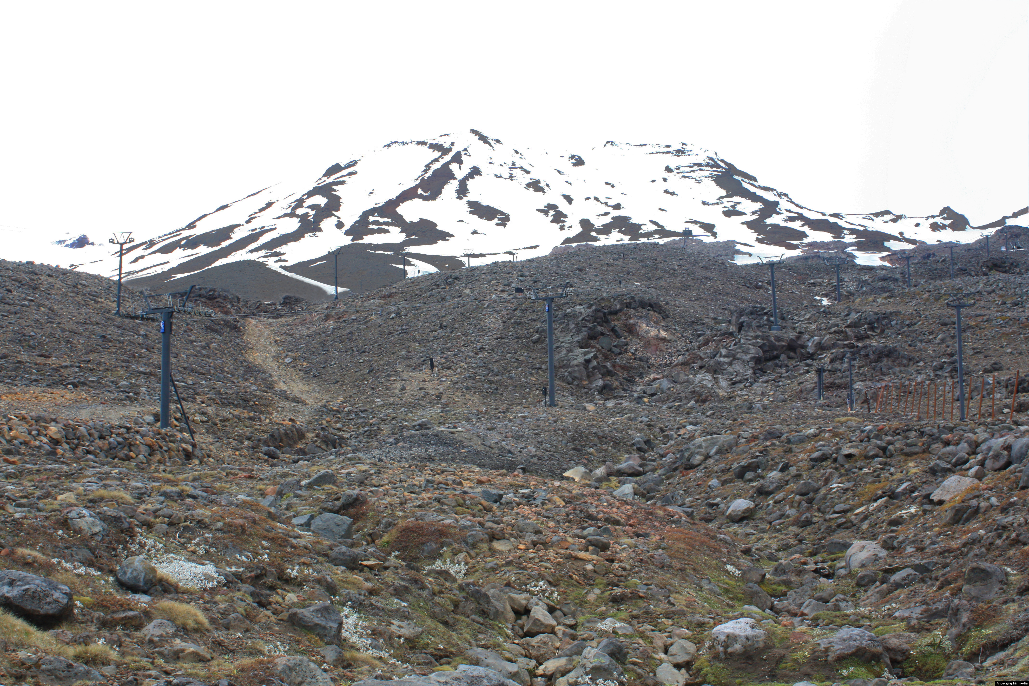
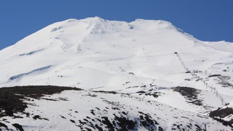
View of Turoa Ski Field outside of the ski season. You can see ski lifts surrounded by snow, but...
Mt Ruapehu in New Zealand has some lush farmland near its slopes due to volcanic soil and regular rainfall.
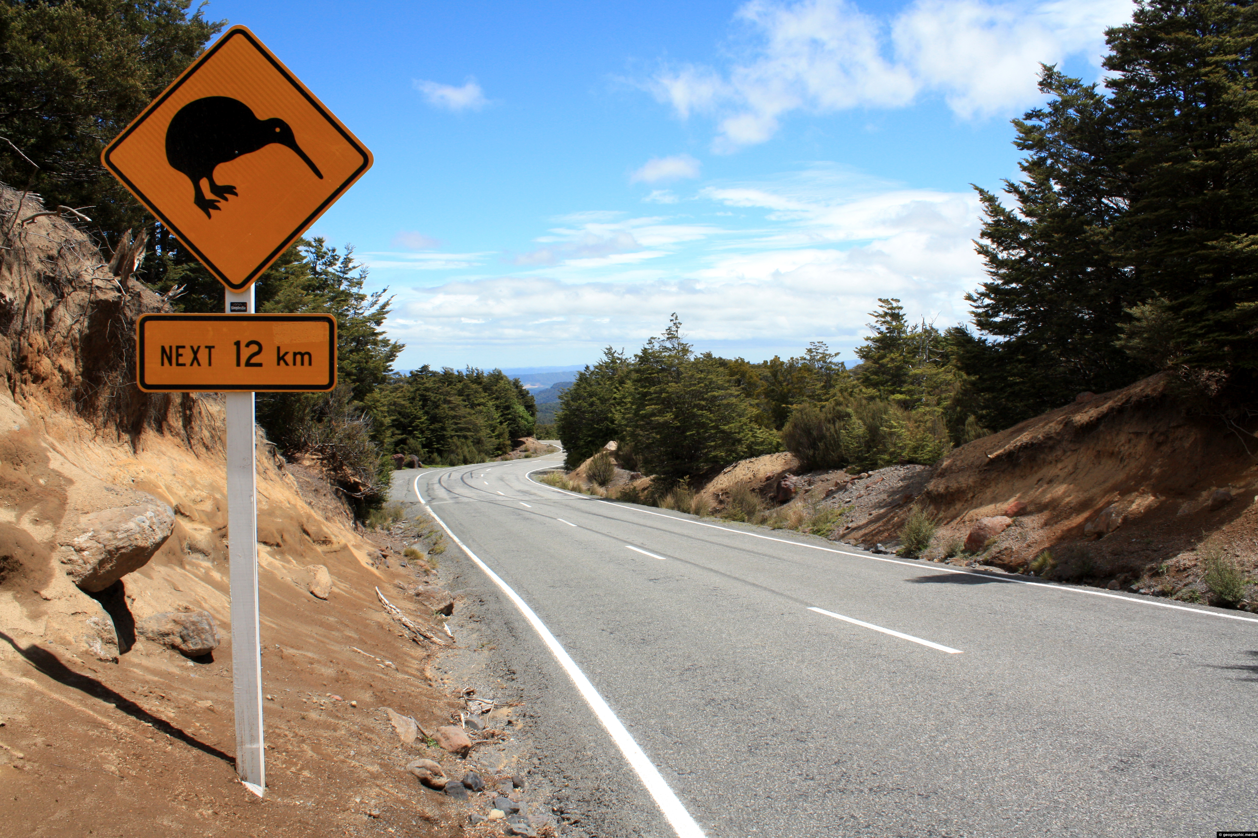
A road sign on Ohakune Mountain Road on Mount Ruapehu alerting drivers to the presence of New Zealand’s national...
Two lambs bathing in the sun on lush pasture land in New Zealand’s Central Plateau area near Mount Ruapehu.