
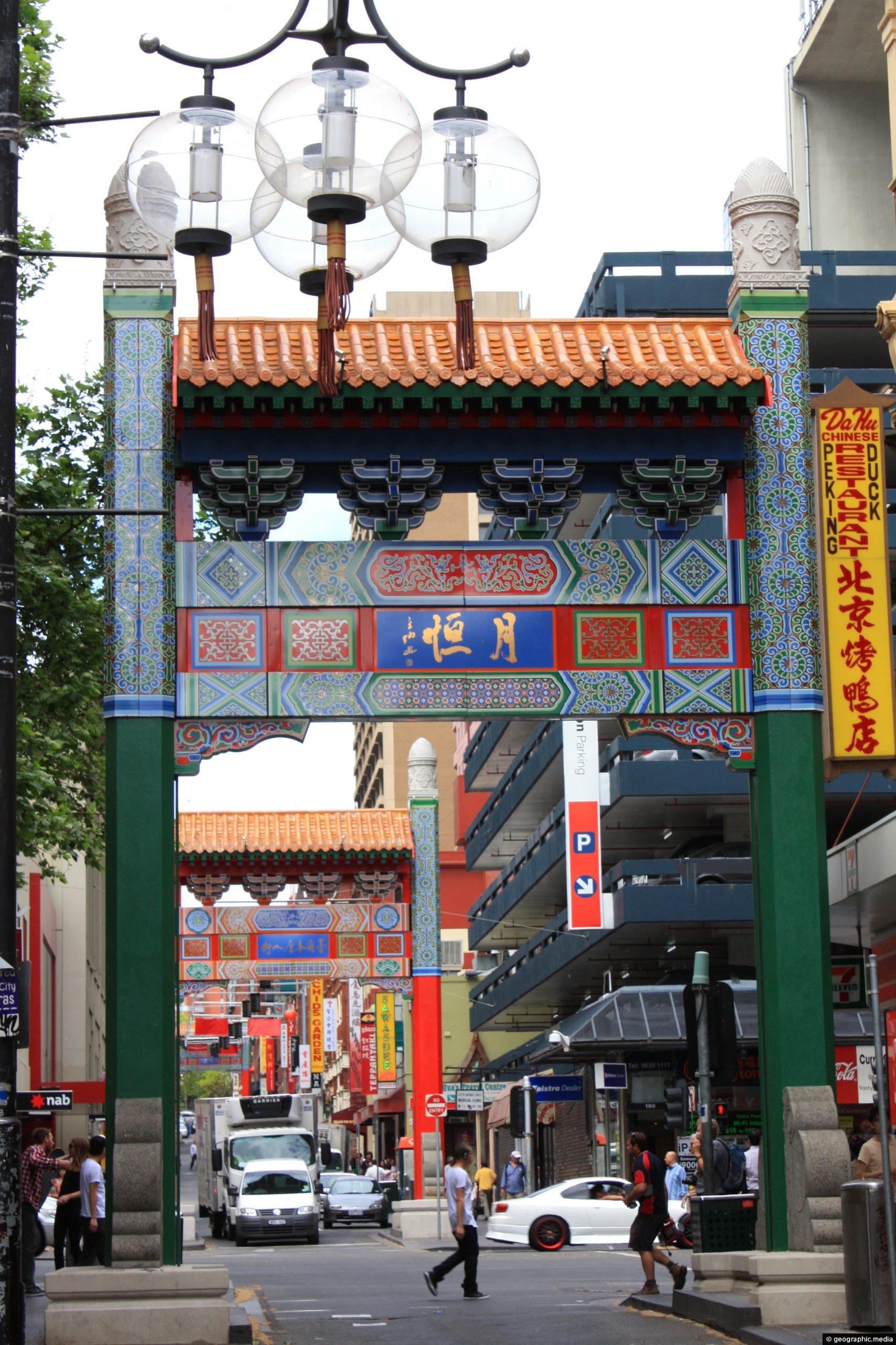
Chinatown in Melbourne Australia is located in the CBD. It is famous for its many budget Chinese dining options...
Australia Photos
About Places Share
About
My Australian photographic collection includes images from every state and territory, covering a remarkable range of climates and environments, from the tropics and deserts to semi-arid regions, temperate landscapes and subalpine areas. The subjects include cities, towns, coastlines, landscapes, native flora and wildlife, culture and people.
Most of these photographs were taken in 1988, when I travelled around the continent. I began my journey in Sydney on 1 January, as the country was celebrating its Bicentenary.
From Sydney, I travelled to rural Victoria for a short fruit-picking job before continuing to Melbourne. I then headed to Adelaide and travelled by train across the Nullarbor Plain to Perth.
I lived and worked in Perth for several months before beginning my journey north along the coast of Western Australia. I bought a bus pass that was valid for six months, giving me the freedom to stop at different places along the way.
As the bus approached Exmouth, only one other passenger and I were on board. The driver told us that Exmouth had only recently been added as a destination and asked whether we would like to go there. We agreed, and he said we were the first tourists that any public bus company had taken to the town.
It certainly felt that way. There were practically no tourists in the area, although the nearby American communications base meant that Exmouth itself had a noticeable American presence. They were workers, not tourists.
I hired a bicycle and rode towards Ningaloo Reef and an extraordinary beach, which I had entirely to myself. Along the way, I passed a vast antenna installation supported by towers that were reportedly taller than the Eiffel Tower. I was told that the antenna in the center was the tallest structure in the Southern Hemisphere, although I never confirmed whether this was true.
From Exmouth, I continued to Kununurra, where I stayed for several days. Unfortunately, I did not have enough money to visit the nearby Bungle Bungle Range, which was a major disappointment.
I then travelled to Katherine and explored the famous Katherine Gorge before continuing to Darwin, where I spent time working and exploring the city. I also travelled through Litchfield National Park, where I swam and jumped from several waterfalls. It was a fantastic experience.
From Darwin, I headed south along the route commonly known as the Track to Alice Springs and visited Ayers Rock, as Uluru was generally known at the time. I then travelled north again to Three Ways before heading east to Townsville and north to Cairns. From there, I camped along the coast near Cape Tribulation.
By this stage, I had very little money, so I boarded a bus south to Sydney. During the journey, I noticed a sign offering passengers a trip to Dunk Island for $20. I took up the offer, and the island exceeded all my expectations of a tropical paradise.
Once back in Sydney, I found work and lived in Kings Cross for several months. I then returned to New Zealand for six months before travelling back through Australia on my way to Europe, where I lived for the following year.
I made several further trips to Australia during the 2010s. On one journey, I visited Sydney, rural New South Wales and the Victorian Alps, followed by Jervis Bay and Canberra. I returned to Sydney through the Blue Mountains before continuing north to Byron Bay, the Gold Coast and Brisbane.
Another trip took me back to Brisbane and then to Hamilton Island, where I stayed while exploring other parts of the Whitsundays, including Whitehaven Beach.
My most recent Australian journey began in Melbourne and continued to Ballarat and the Grampians National Park. I returned via the Great Ocean Road, with several side trips into Great Otway National Park.
I also have a collection of older Australian photographs on Virtual Australia, my first website, which I created in 1994.
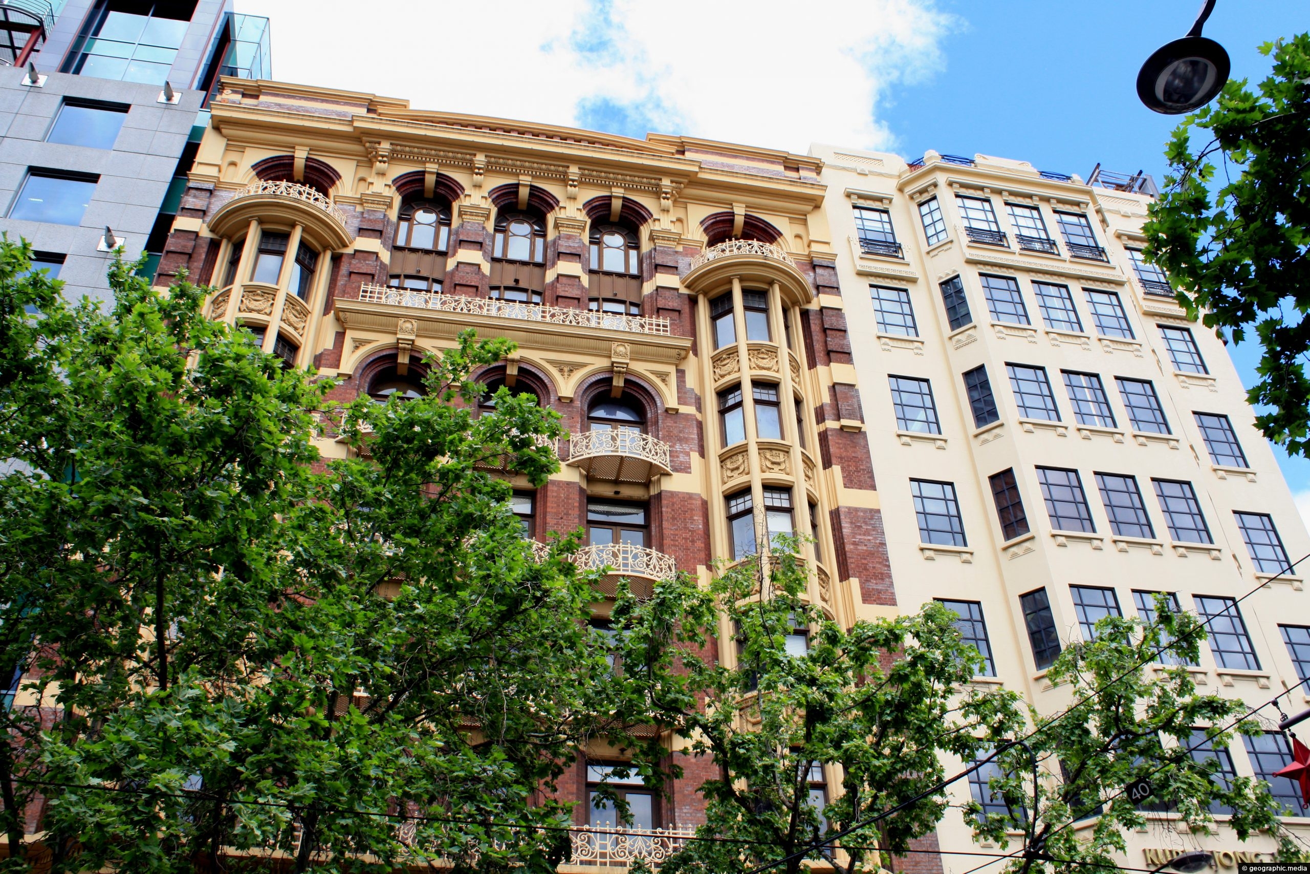
Collins Street in Melbourne Australia has many great examples of Victorian era buildings. It is one of the main...
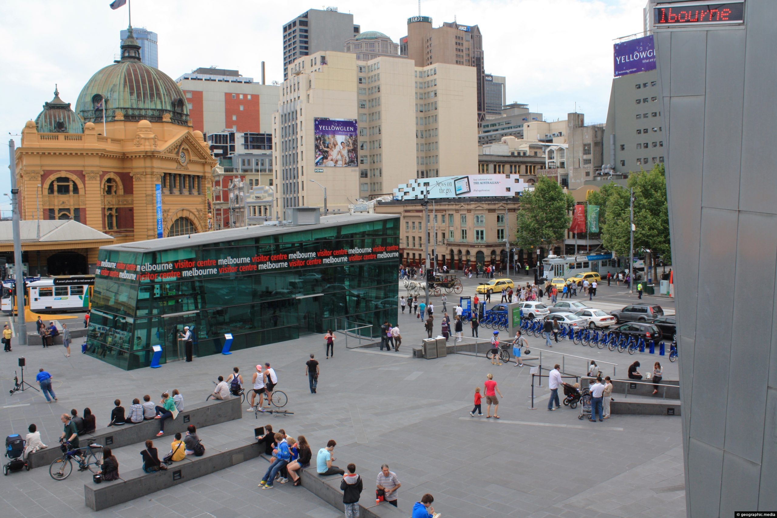
Federation Square (Fed Square) in Melbourne occupies a city block next to the Yarra River and on St Kilda...
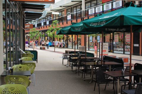
Docklands Victoria (also known as Melbourne Docklands), represents an ongoing expansion of Melbourne’s central business district (CBD). Boasting several...
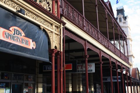
Closeup view of a facade belonging to the Old Colonist’s Hall in the Victorian city of Ballarat.
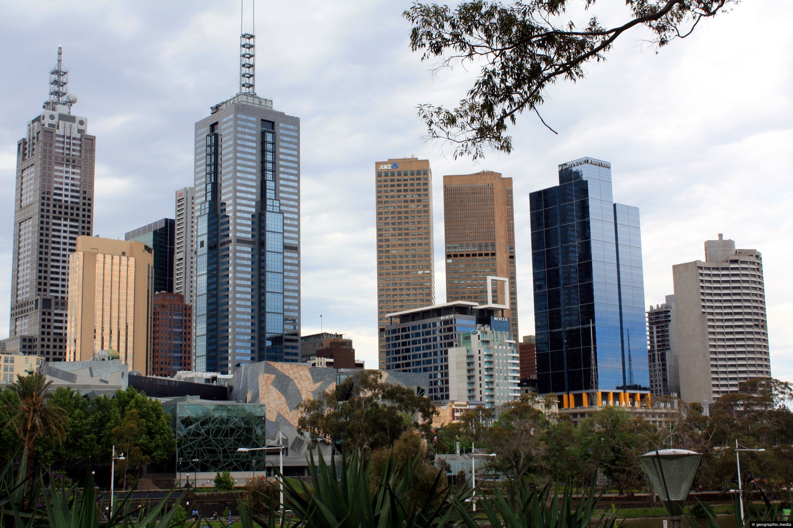
View of the Melbourne city skyline as seen from the city’s rail network. Melbourne is the biggest city in...
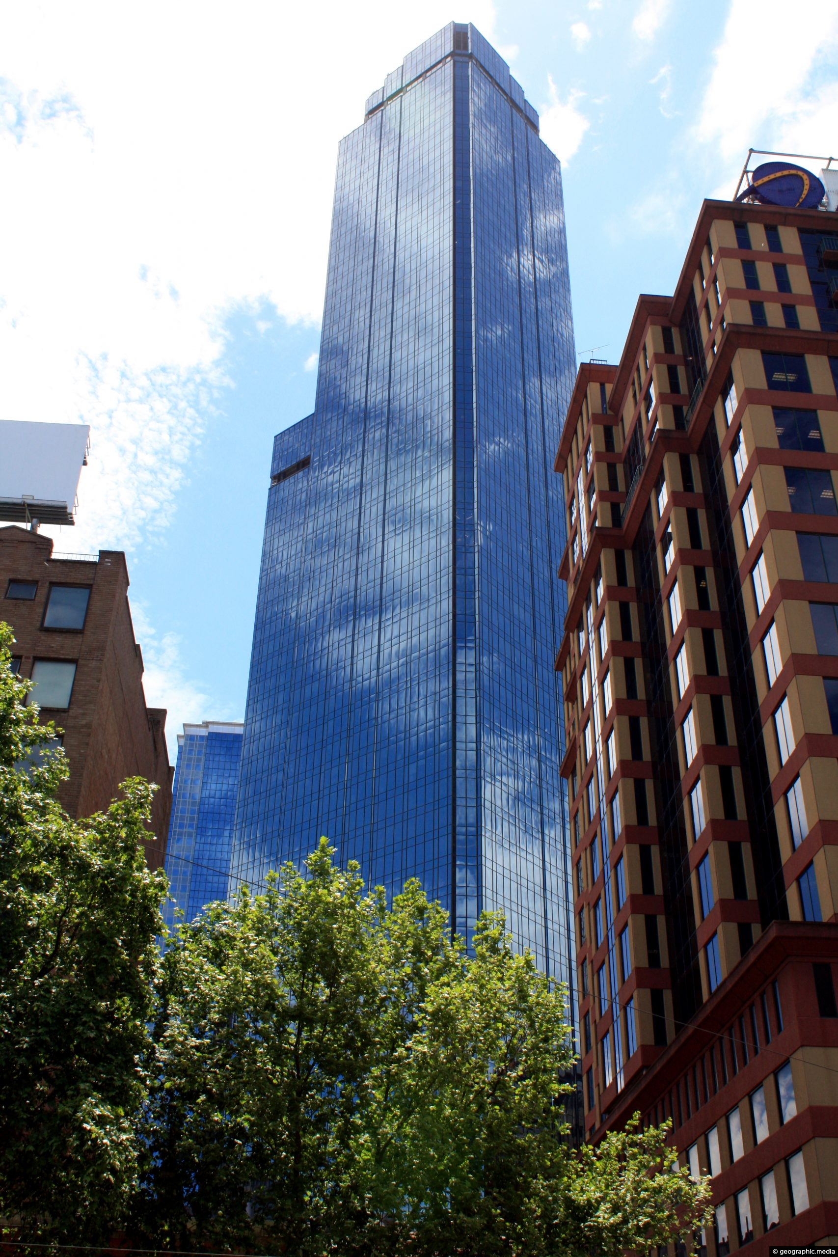
Rialto Towers is a 66 storey building and a prominent part of the Melbourne skyline. Construction started in 1982...
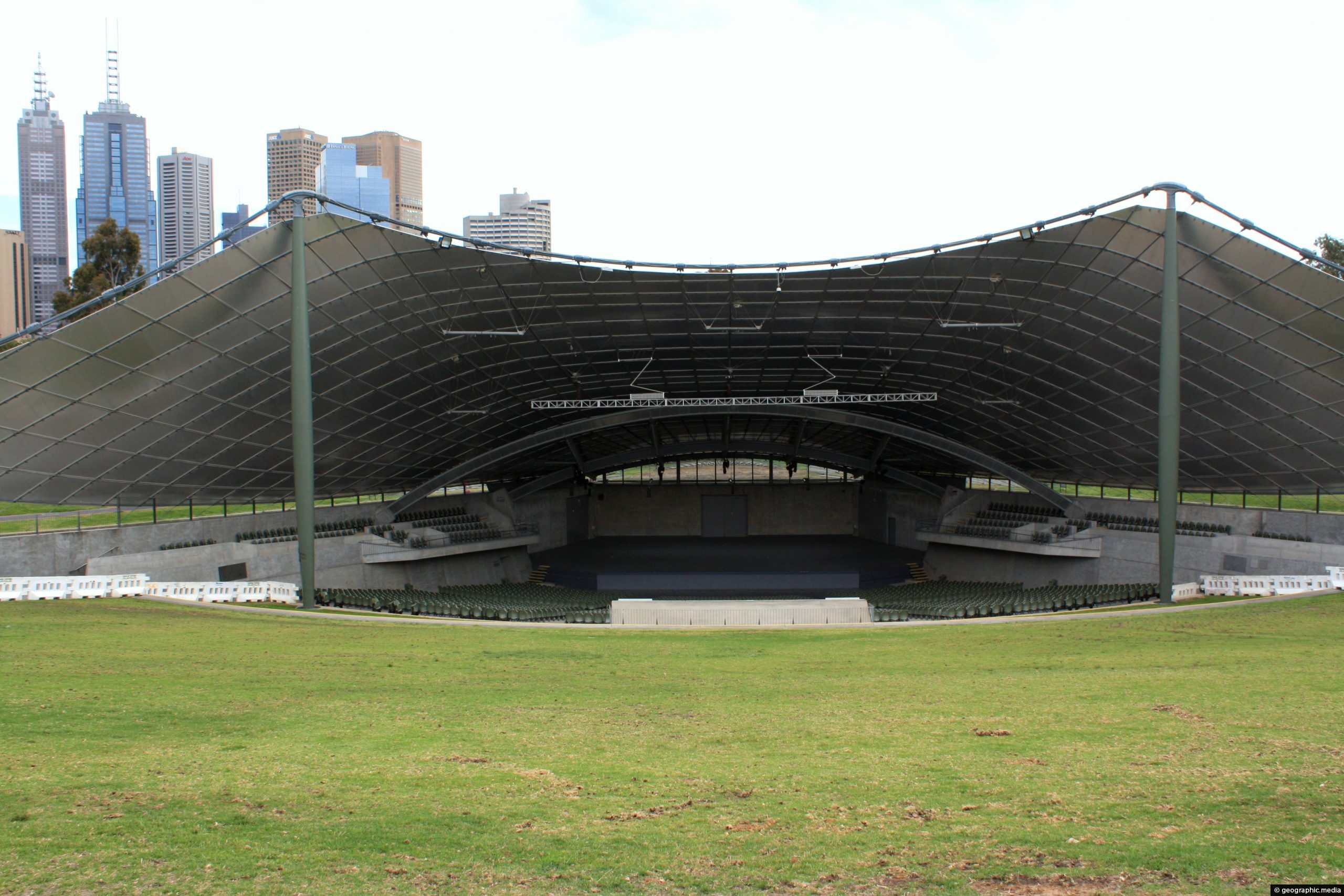
The Sidney Myer Music Bowl, situated in Melbourne’s Kings Domain Gardens near the Arts Centre and the Southbank suburb,...
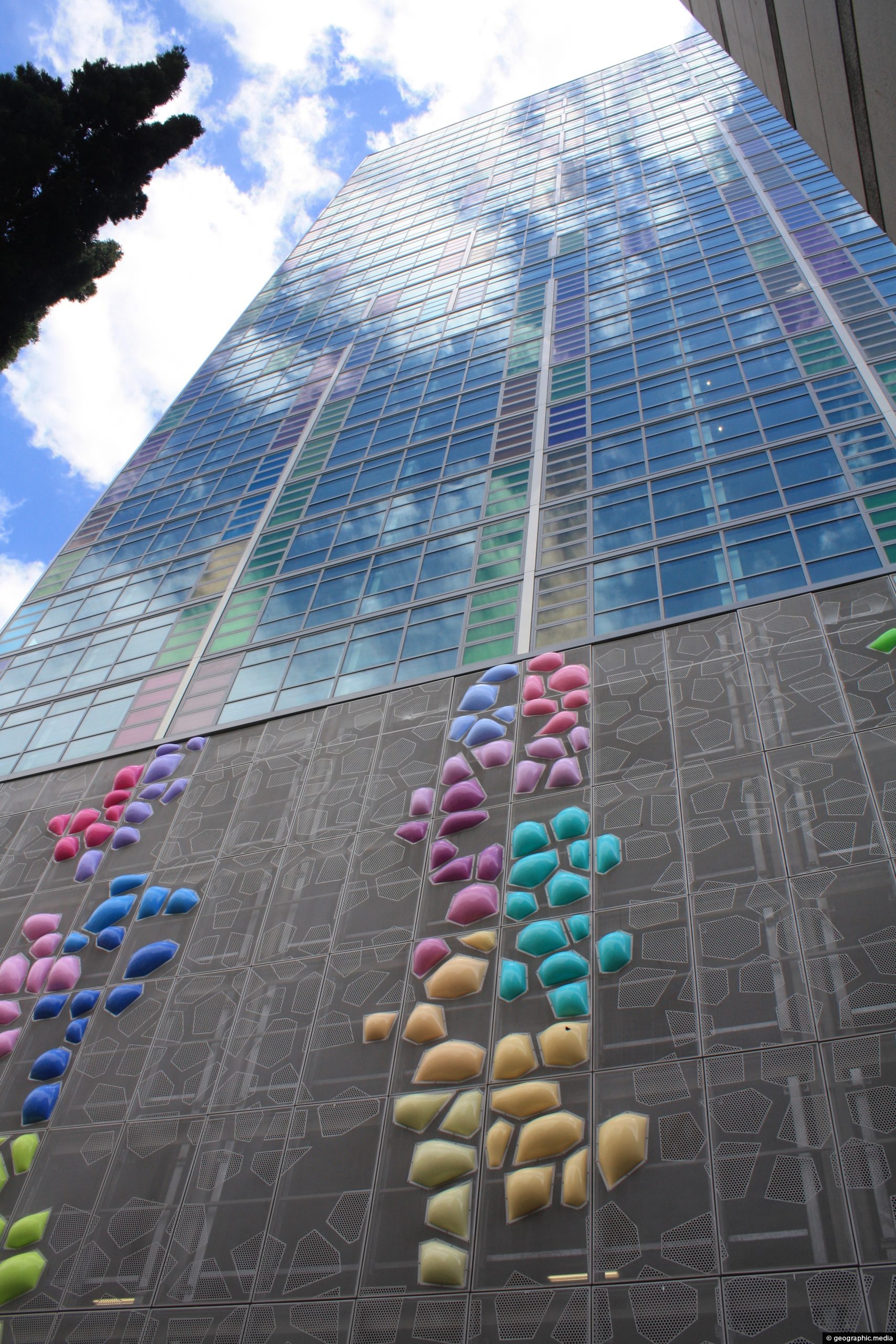
View of Triptych Apartments in the inner-city suburb of Southbank. Constructed with concrete, the structure was completed in 2010....
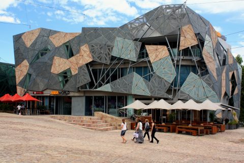
Melbourne’s Federation Square takes up a whole city block. It includes geometrically shaped buildings built using metal, glass, and...
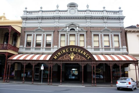
The Ballarat Mining Exchange was built in the late 1800s. It was used for shares trading for mining companies...

Recent Comments