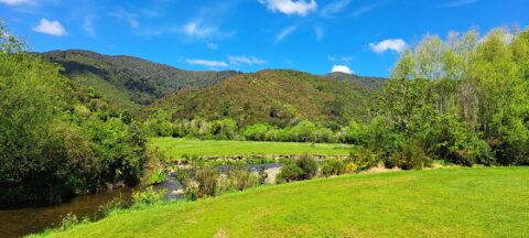
Looking at Wainuiomata River within Wainuiomata Regional Park. Also in view is the Remutaka mountain range.
All original royalty-free photos, shareable maps, and informative articles.
October, 2023
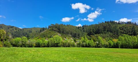
A sunny day at Richard Prouse Park in Wainuiomata looking toward Hine Road and Sunny Grove. The hills are...
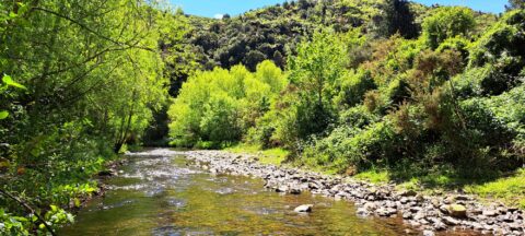
View of Wainuiomata River on the edge of Richard Prouse Park. This part of the river has a few...
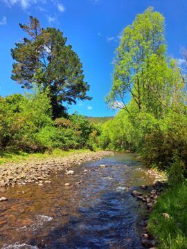
The section of the Wainuiomata River meanders along the edge of Richard Prouse Park, offering several nearby swimming spots.
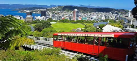
Looking at the Wellington cable car from the Wellington Botanic Gardens lookout. In view is Kelburn Park with the...
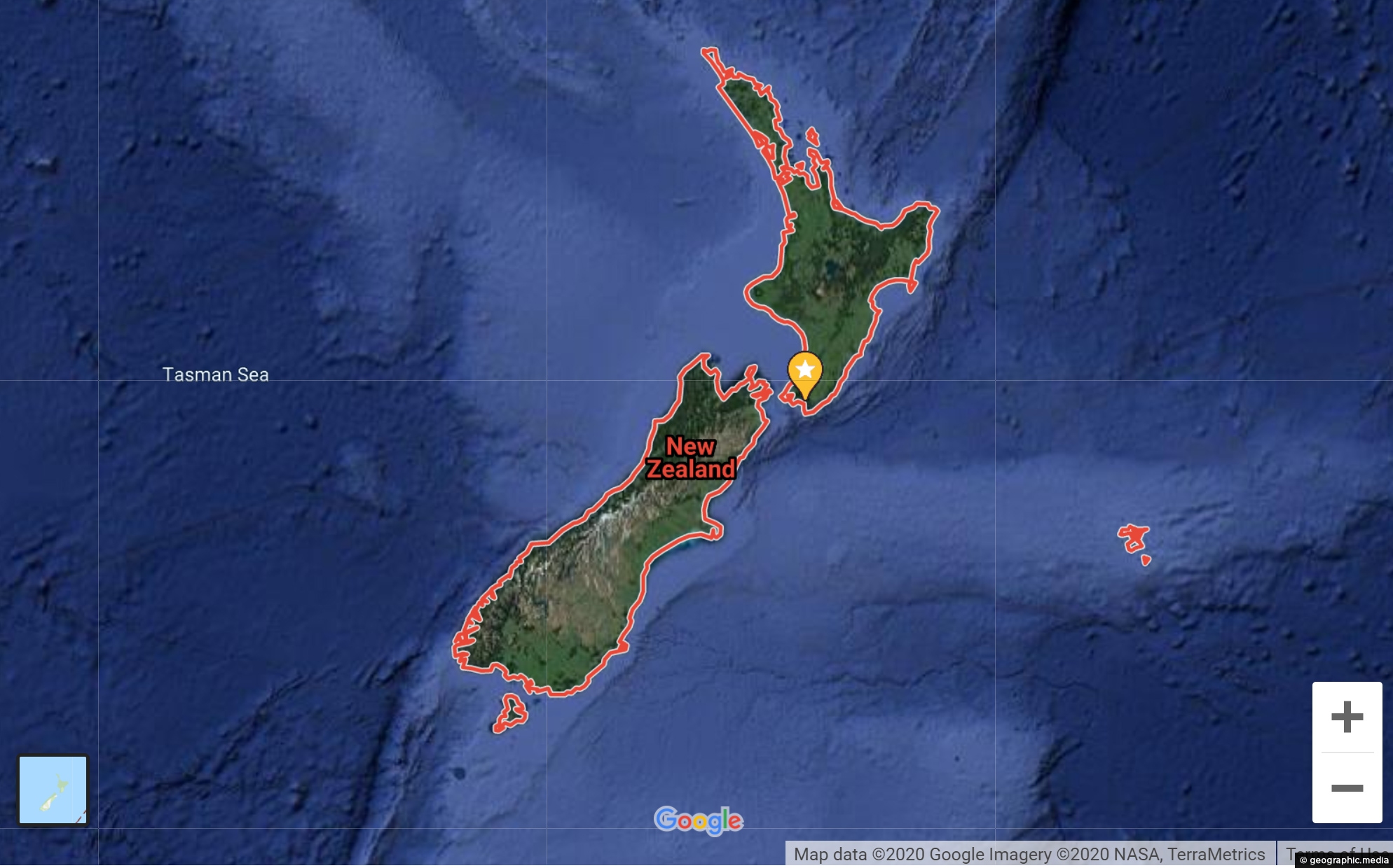
New Zealand map showing landscapes, cities, towns, & streets Explore New Zealand with our google map showing landscapes, cities....
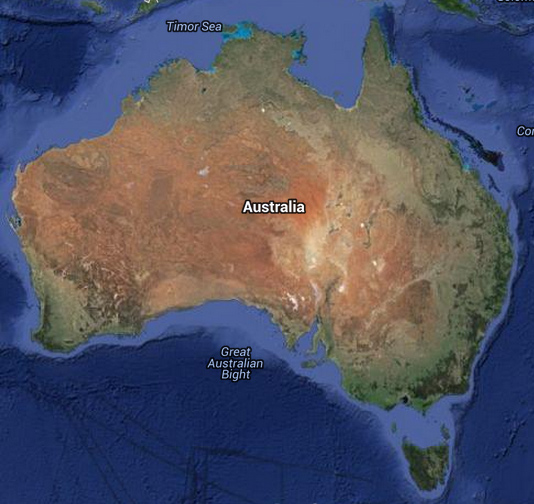
Australian map showing landscapes, cities, towns, & streets Explore Australia with our google map showing landscapes, cities, and towns....
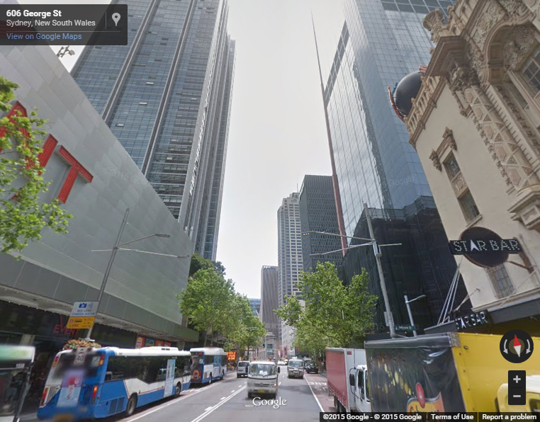
Interactive Sydney Street View starting at George Street Try navigating down George Street till you get to the famous...
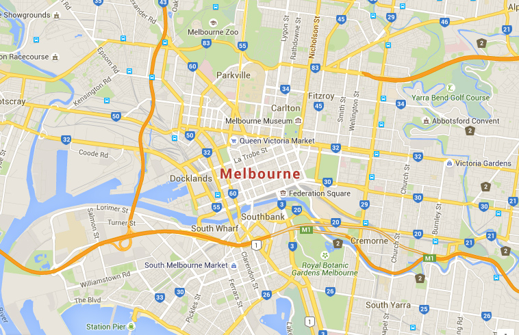
Interactive Google Map of Melbourne, the second largest city in Australia View Larger Map Navigate along the suburb of...
New Zealand, located at the southwestern edge of the Pacific Ocean, is the most remote developed nation in the...
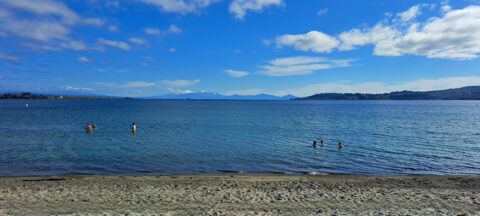
Looking at Lake Taupo from the waterfront in the township of Taupo. The lake is the largest in New...
Popular Posts
- Awakening New Zealand video (100)
- Iguazu Falls as seen from Brazil (87)
- Metrocable Medellin (78)
- Pauatahanui Inlet (69)
- Spinnaker Hill View (68)
- Spinnaker Hill in Whitby Porirua (68)
- View from Whitby (68)
- The Devil’s Throat (62)
- Aerial View of Iguazu Falls (61)
- Porirua Harbour & Papakowhai (57)
- Lake Wakatipu (57)
- Salto Rivadavia & Iguassu River (56)
- Lake Tekapo & Lupins (54)
- Nelson View (53)
- Salto Rivadavia Misiones Province (53)
- Cascadas at Iguazu (53)


Recent Comments