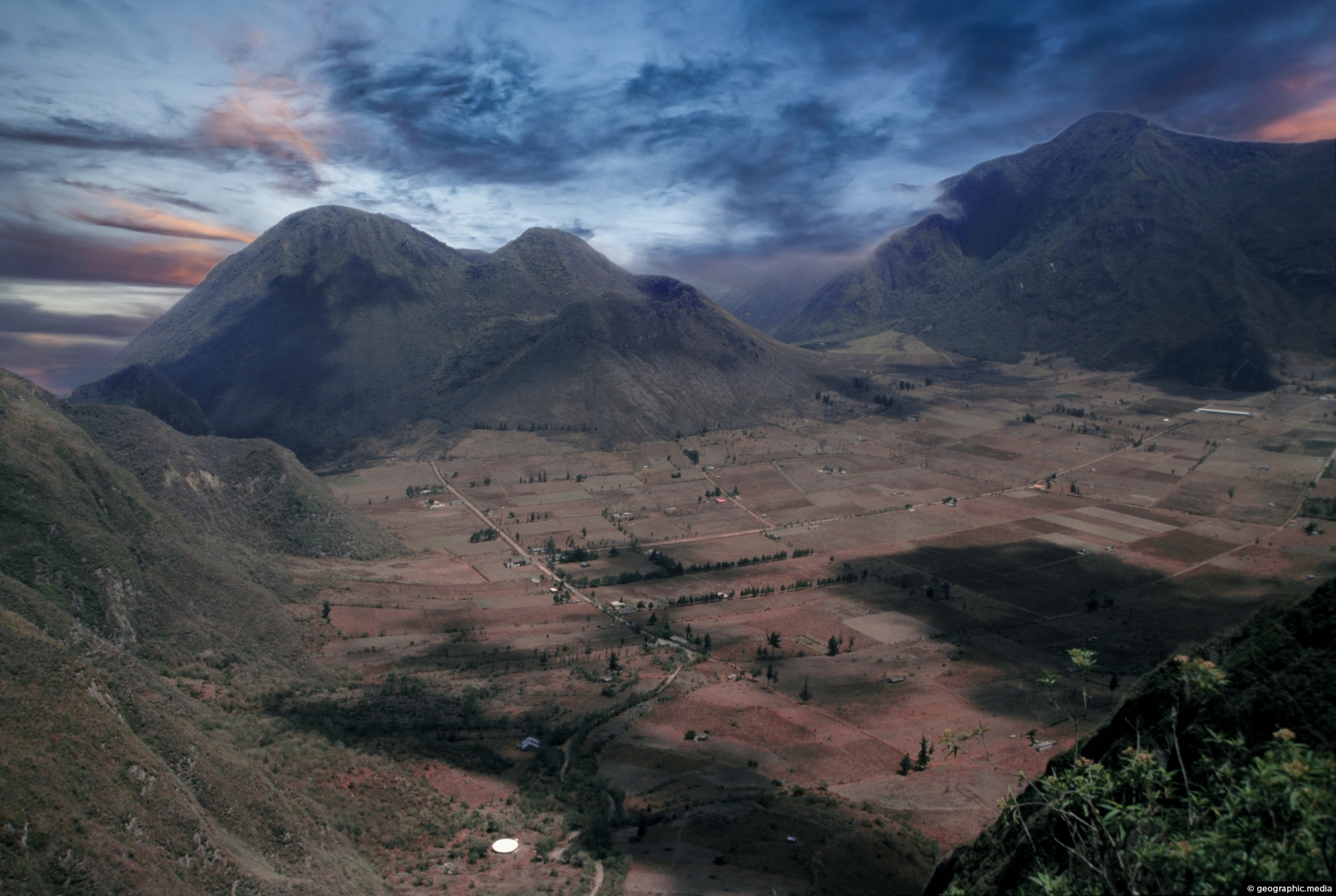
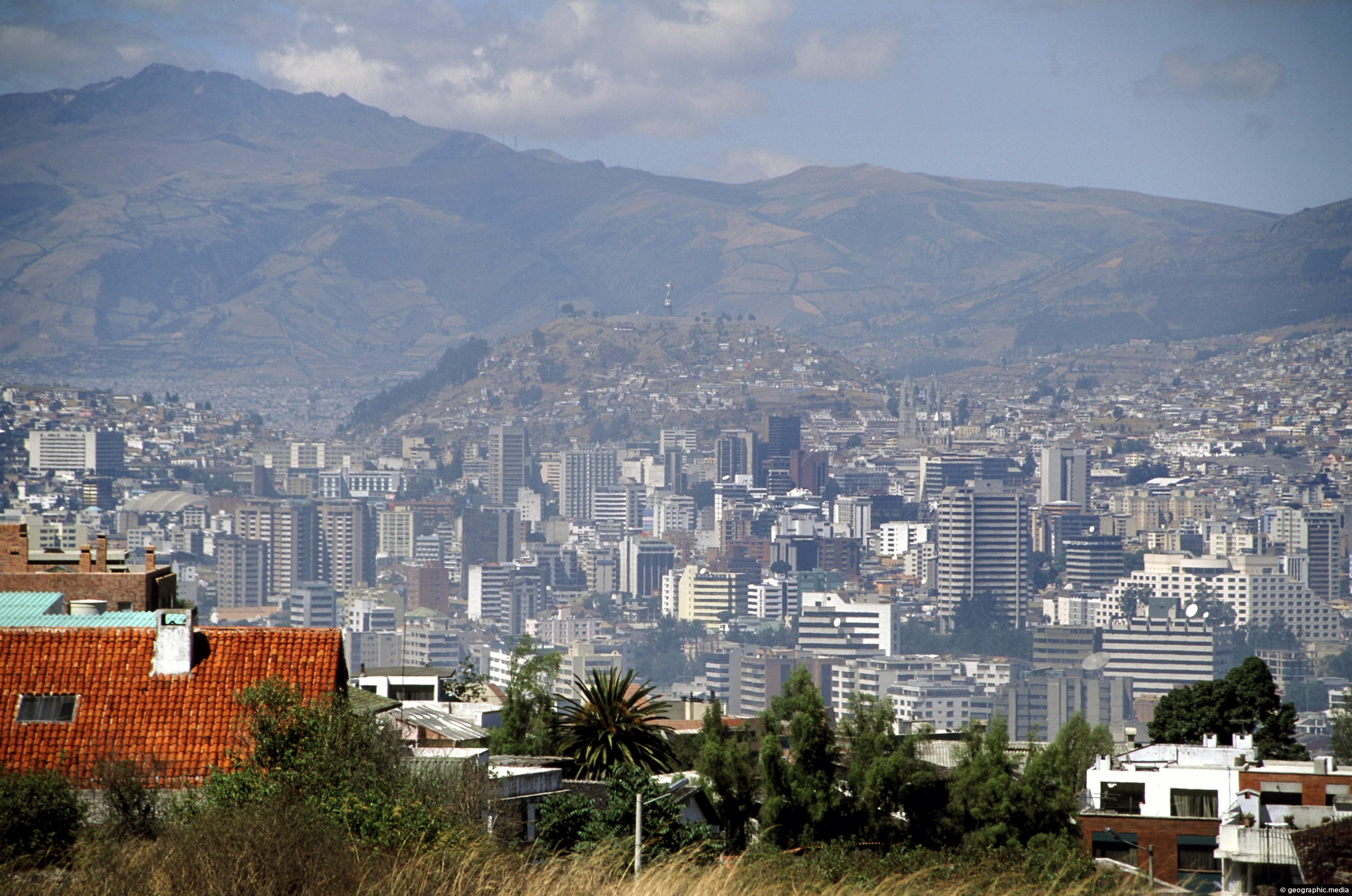
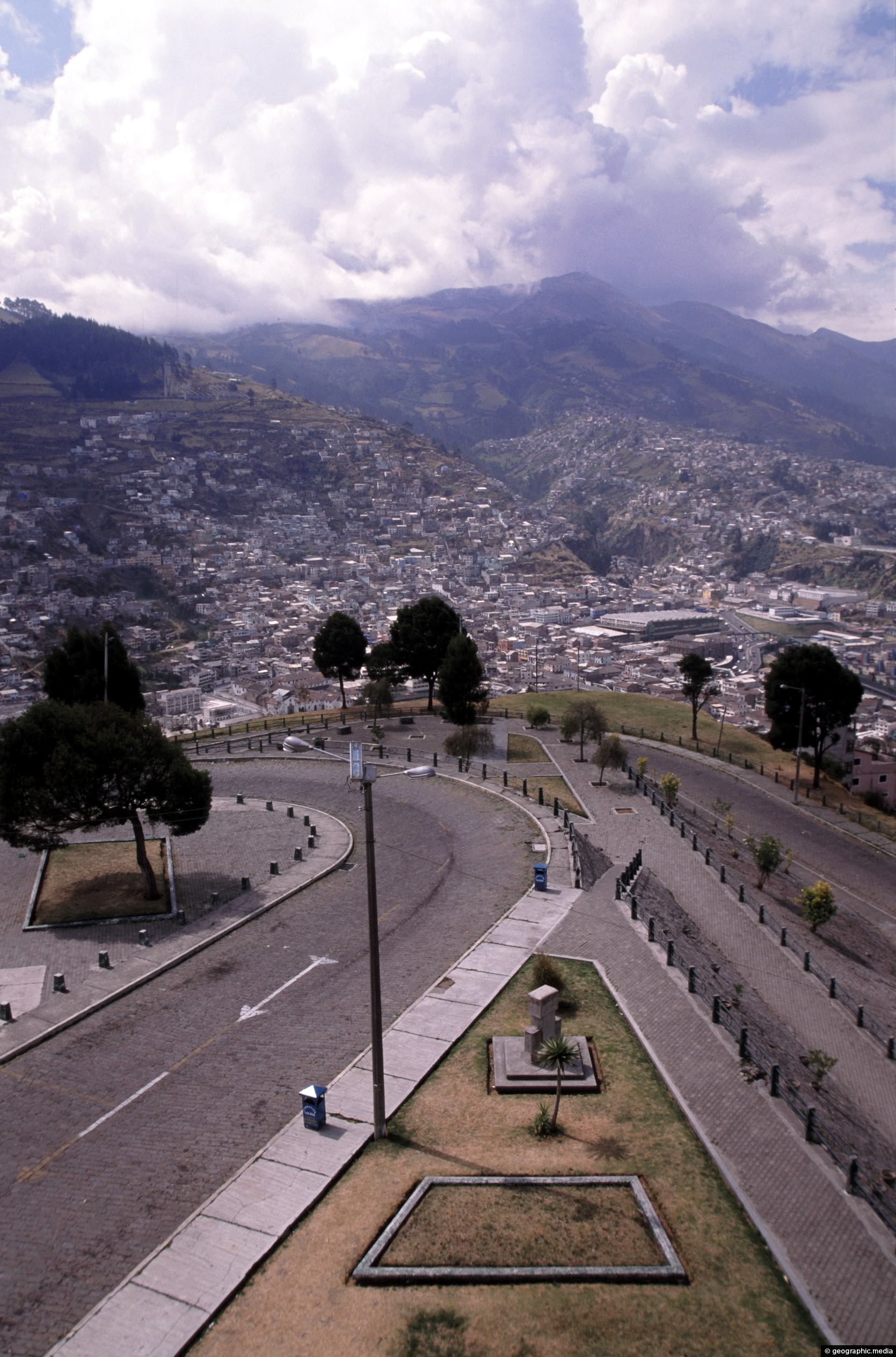
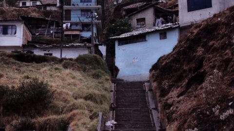
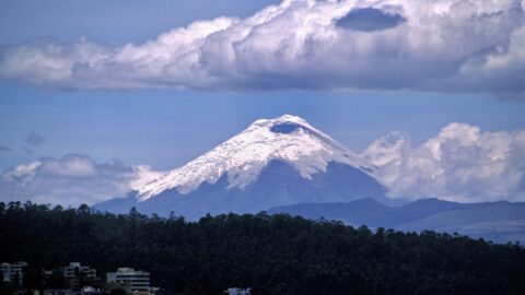
Pululahua is actually a volcanic caldera. It is located near Quito, the capital city of Ecuador. The word “Pululahua” originates from the Quichua language and means “cloud of water” or “smoking water”. The Pululahua Geobotanical Reserve, which encompasses the caldera, is one of only a few calderas in the world that are inhabited.
ALL / Explore South America / Explore Ecuador / Ecuador Photos / Quito photos / Pululahua Volcano Quito
All original royalty-free photos, shareable maps, and informative articles.
Pululahua Volcano Quito
Page Views
This post has been viewed 325 times
Related Articles
-
Pasaje Tobar Quito
Quito photos, Buildings, Portrait / Vertical, Shops
Pasaje Tobar is a Shopping Plaza in Centro Histórico, Quito. It has access from both on Guayaquil Street and...
-
The Virgin of Quito, El Panecillo
Quito photos, Homes, Monuments, Portrait / Vertical, Roads
View of The Virgin of Quito which sits atop El Panecillo, a prominent hill that offers panoramic views of...
-
Quito View from El Panecillo Hill
Quito photos, Architecture, Buildings, Cities, Landscape / Horizontal
View of Quito from El Panecillo Hill showing how extensive the city’s colonial architecture is. The CBD can be...
-
Pululahua Crater Quito
Quito photos, Landscape / Horizontal, Mountains, Volcanic
Pululahua Crater is a volcanic formation located near Quito, the capital city of Ecuador. It is a popular stop...
-
View of Quito from Calle Guanguiltagua
Quito photos, Buildings, Cities, Landscape / Horizontal, Skyscrapers
View of Quito’s central business district as seen from Calle Guanguiltagua (Guanguiltagua Street). La Virgen de Quito can be...
-
View of Cotopaxi Volcano in Ecuador
Quito photos, Landscape / Horizontal, Mountains, Volcanic
View of Cotopaxi Volcano located in the Andes mountains. This stratovolcano reaches a height of 5,897 metres, making it...
-
Pichincha Volcano in Quito Ecuador
Quito photos, Cities, Landscape / Horizontal, Volcanic
View at the foot of Pichincha Volcano where some of Quito’s suburbs wrap around its eastern slopes. Pichincha is...
-
Quito & Park
Quito photos, Cities, Landscape / Horizontal
Quito as seen from 3000 metres above sea level at Guanguiltagua Metropolitan Park.
0 Comments
Popular Posts
- Awakening New Zealand video (100)
- Iguazu Falls as seen from Brazil (87)
- Metrocable Medellin (78)
- Pauatahanui Inlet (69)
- Spinnaker Hill in Whitby Porirua (68)
- Spinnaker Hill View (68)
- View from Whitby (68)
- The Devil’s Throat (62)
- Aerial View of Iguazu Falls (61)
- Porirua Harbour & Papakowhai (57)
- Lake Wakatipu (57)
- Salto Rivadavia & Iguassu River (56)
- Lake Tekapo & Lupins (54)
- Nelson View (53)
- Salto Rivadavia Misiones Province (53)
- Cascadas at Iguazu (53)
Subjects
AccommodationAnimalsArchitectureBeachesBirdsBoatsBridgesBuildingsCarsChurchesCitiesCoralCultureExtra Wide HorizontalFlowersForestsHarborsHomesIslandsLakesLandscape / HorizontalMapsMenMonumentsMountainsPalmsParksPeoplePlantsPortrait / VerticalRiversRoadsRuralSeaShopsSkyscrapersSnowSunsetsTownsTrailsTransportTreesVideosVolcanicWaterfalls
Recent Comments
- Lance on Concrete Hut Wainuiomata
- Tony on Concrete Hut Wainuiomata
- DavidJ on Wellington Night Skyline
- Ben on Auckland City Skyline from Westhaven Marina in 1998
- Ben on Auckland Harbour Bridge view