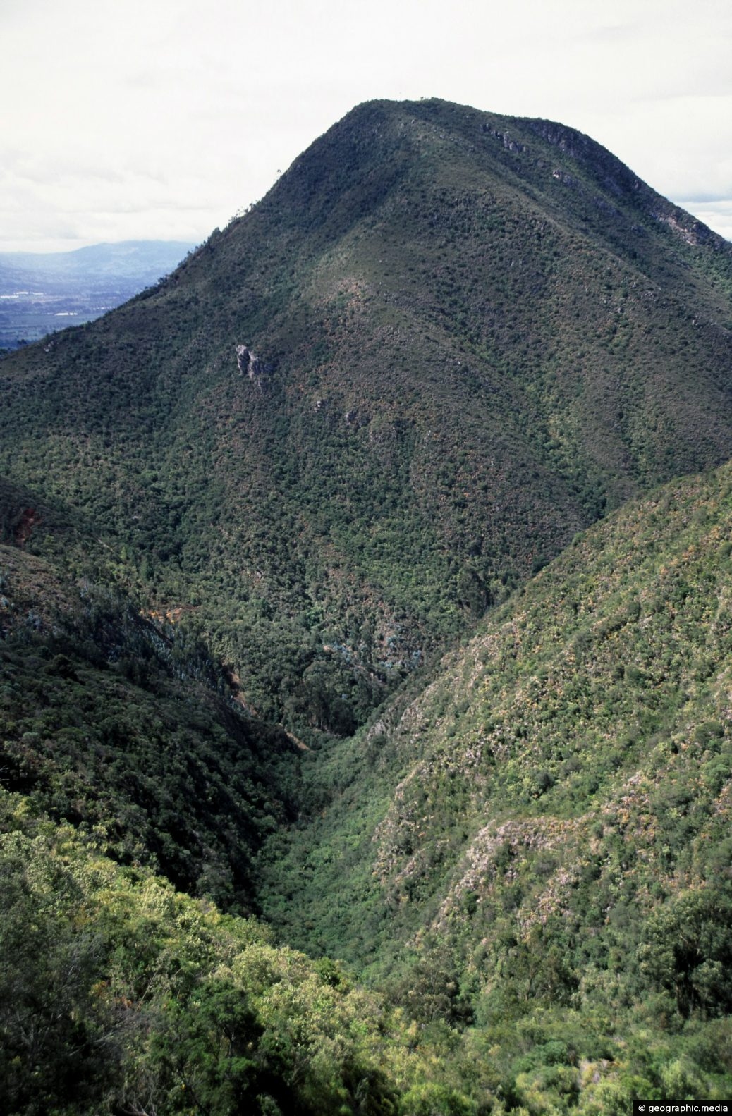
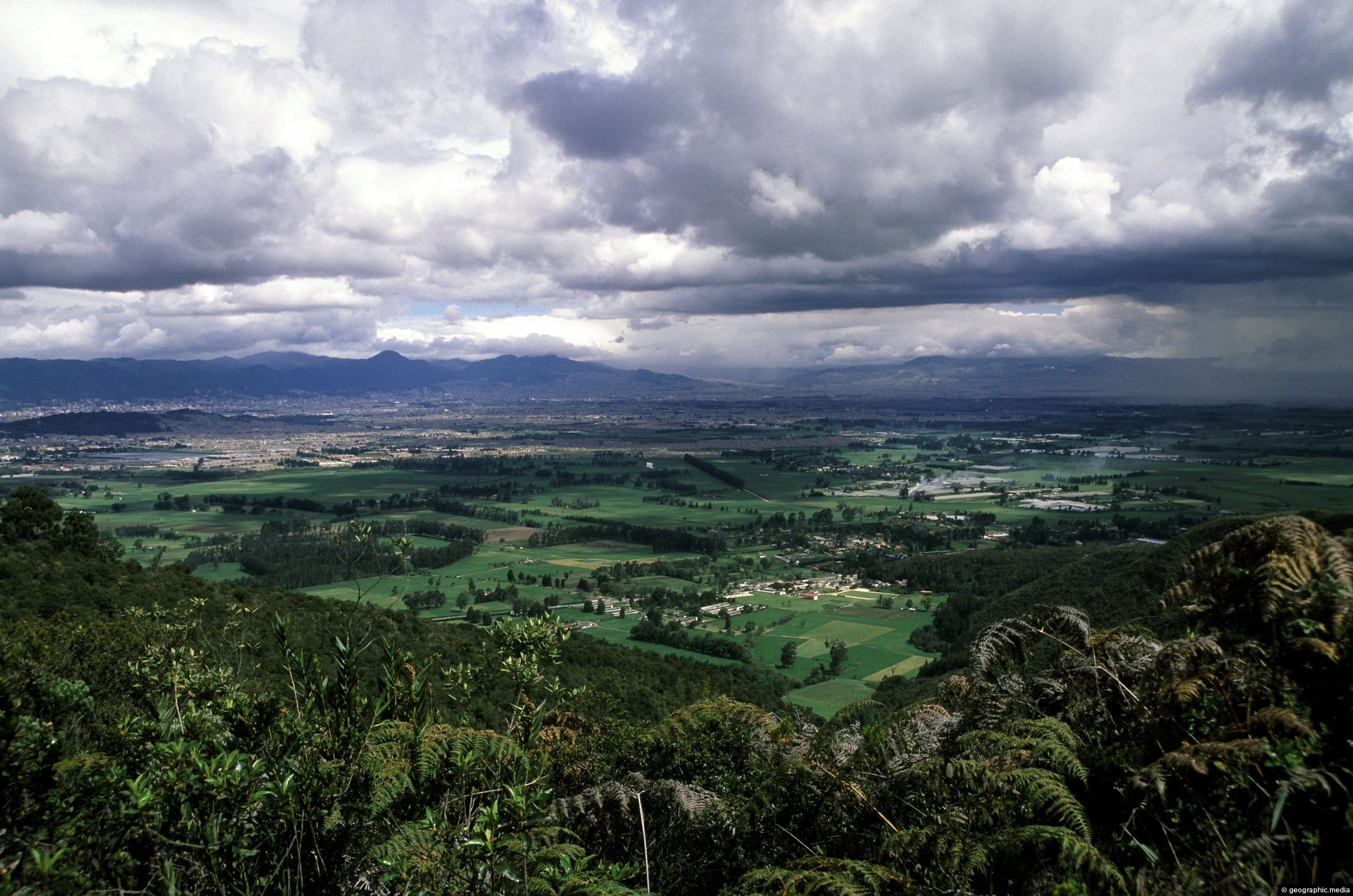
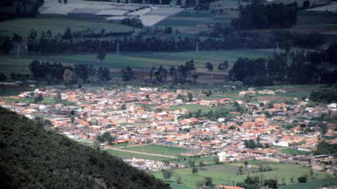
The La Valvanera Range in Chia near Bogota is part of the Andes Mountain Range of South America. The peak in view is about 3300 metres (10826 feet) high.
ALL / Explore South America / Explore Colombia / Colombia Photos / Chia photos / La Valvanera Range in Chia Colombia
All original royalty-free photos, shareable maps, and informative articles.
La Valvanera Range in Chia Colombia
Page Views
This post has been viewed 559 times
Related Articles
-
La Valvanera View near Chia Colombia
Chia photos, Landscape / Horizontal, Mountains, Rural
Rural plains on an overcast day as seen from the top of La Valvanera range near Chia. In view...
-
Chia As Seen From La Valvanera Range
Chia photos, Landscape / Horizontal, Mountains, Rural, Towns
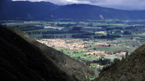
Looking at the town of Chia from the La Valvanera Range which are peaks atop the Andes. In Colombia,...
-
Chia Children playing on Bikes
Chia photos, Bikes, Children, Landscape / Horizontal, People, Roads, Transport
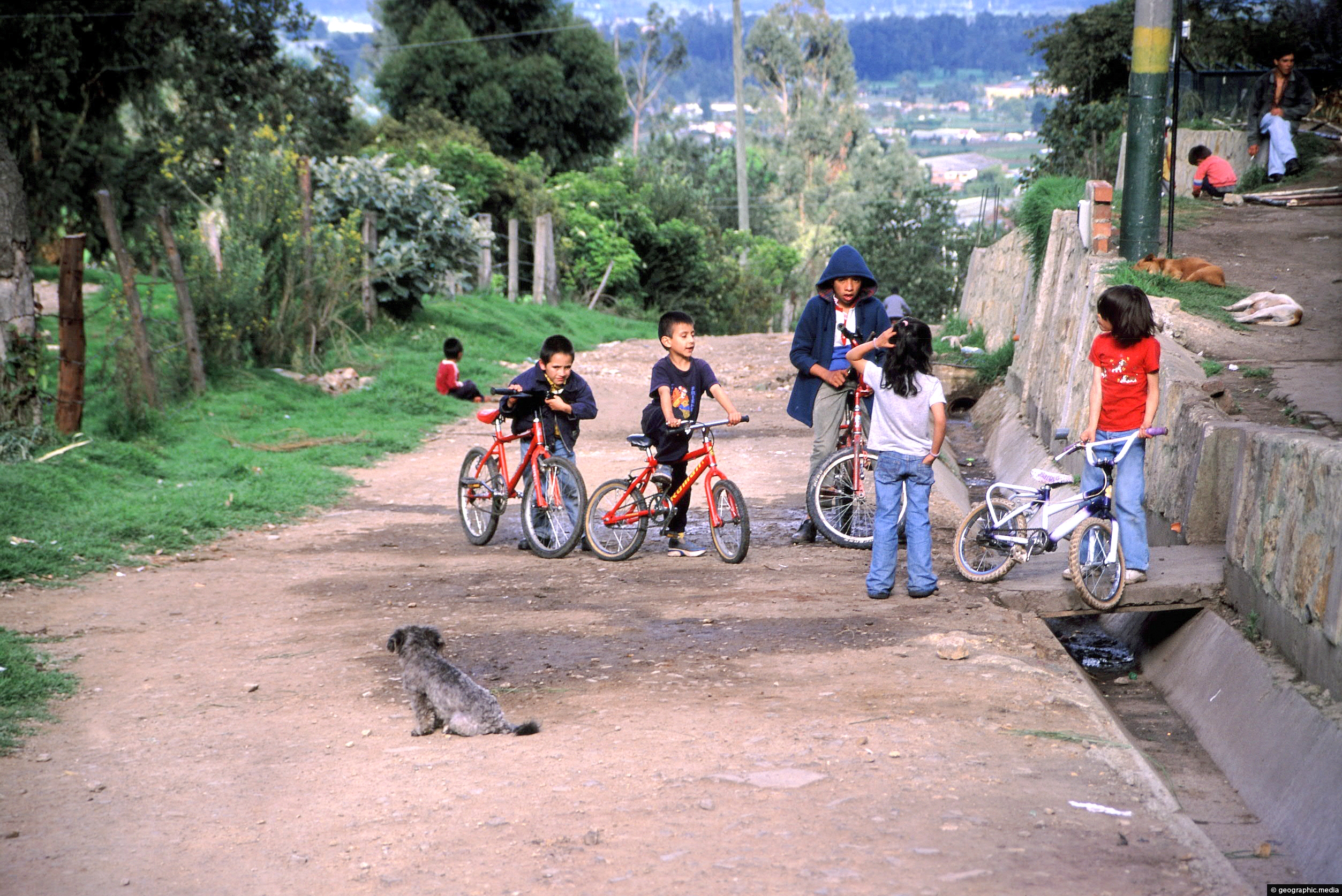
Children playing on bikes in the streets of Chia just north of Bogota. This part of Chia is economically...
-
Chia Seen From The Andes
Chia photos, Landscape / Horizontal, Mountains, Rural
Looking at the town of Chia just north of Bogota as seen from some peaks in the Andes. Chia...
-
Chia Farm
Chia photos, Landscape / Horizontal, Mountains, Rural
A farm in the small rural town of Chia, north of Bogota Colombia. The town is surrounded by farmland...
-
Old Truck in Chia
Chia photos, Portrait / Vertical, Transport, Trucks
An old work truck on a farm in Chia, near Bogota. Cars and trucks are expensive to import into...
-
Bogotanos in Chia
Chia photos, Men, People, Portrait / Vertical, Rural
A father and son from Bogota, day trekking in the hills above nearby Chia in the year 2002.
-
Chia Boys near Bogota in Colombia
Chia photos, Children, Landscape / Horizontal, People
Two boys enjoying the afternoon sun in a poor neighborhood of Chia. This town is close to north Bogota...
0 Comments
Calendar
| M | T | W | T | F | S | S |
|---|---|---|---|---|---|---|
| 1 | ||||||
| 2 | 3 | 4 | 5 | 6 | 7 | 8 |
| 9 | 10 | 11 | 12 | 13 | 14 | 15 |
| 16 | 17 | 18 | 19 | 20 | 21 | 22 |
| 23 | 24 | 25 | 26 | 27 | 28 | 29 |
| 30 | ||||||

