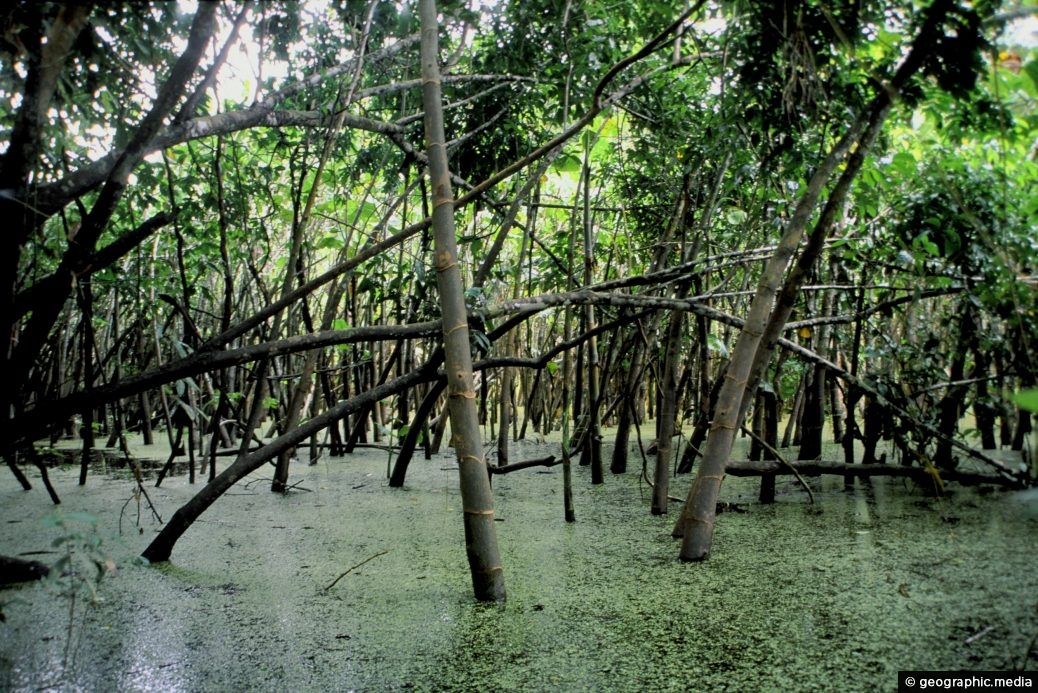
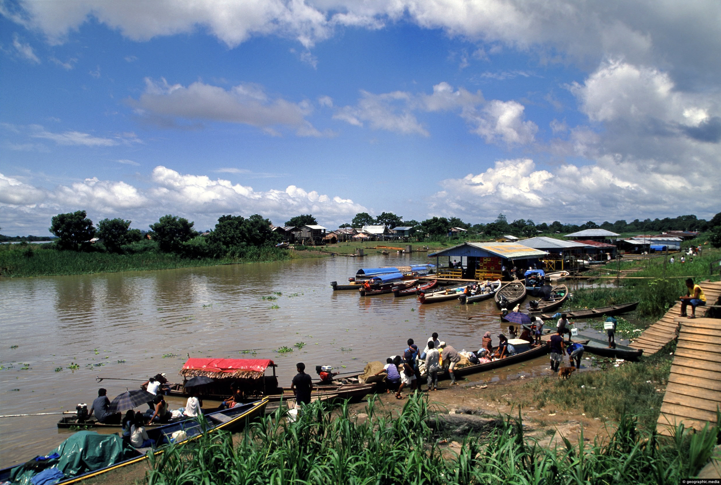
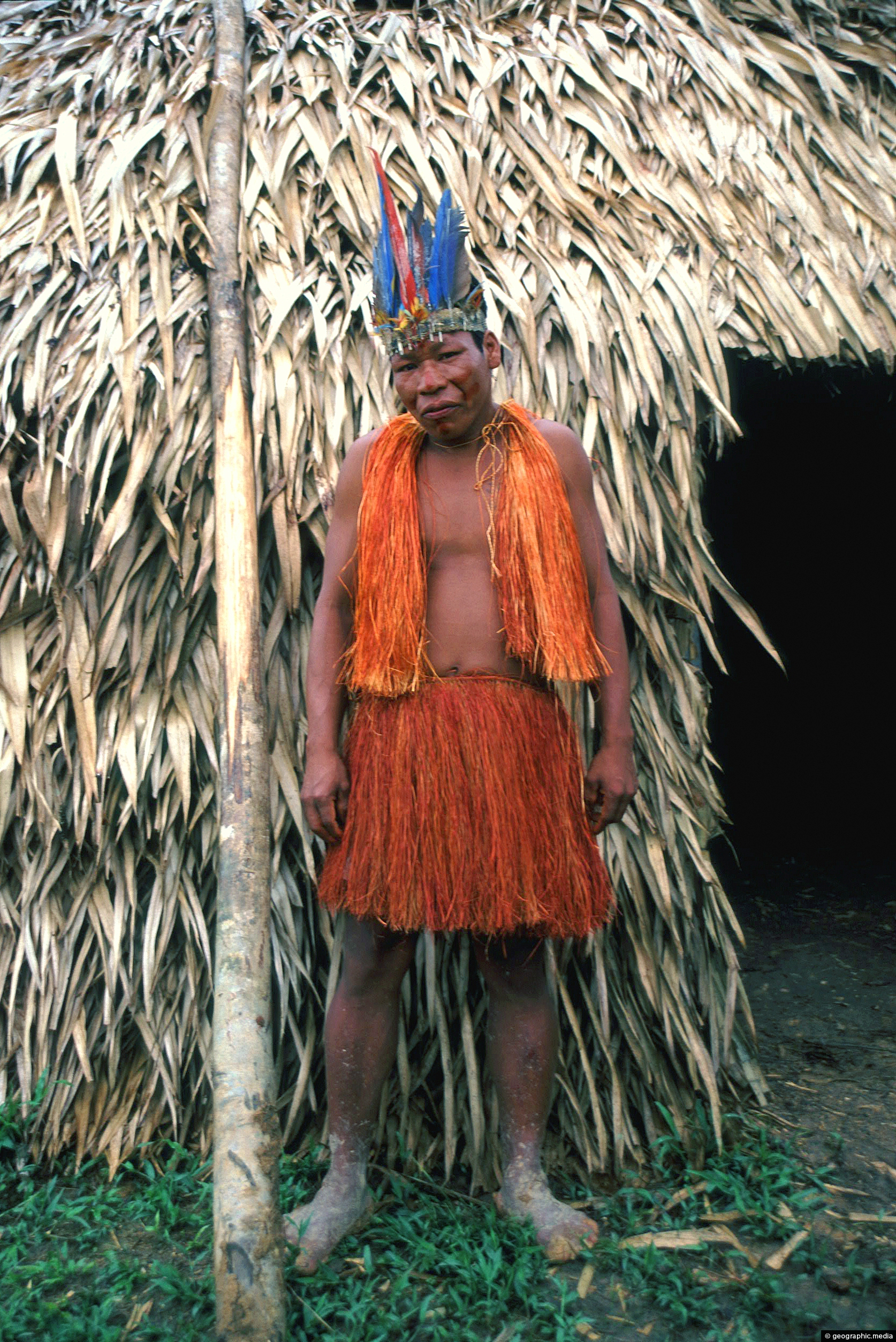
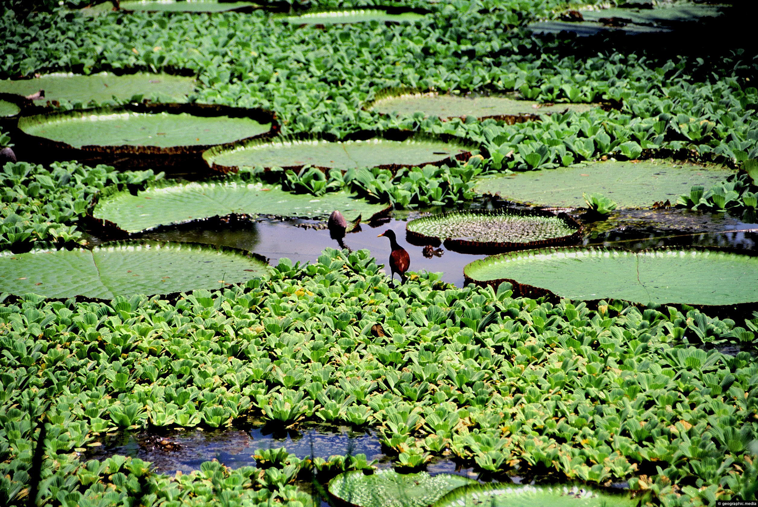
When the Amazon River floods, it extends deep into the Amazon Rainforest. During floods, pink dolphins swim in the forest, fish feed off fruit trees, and the local tribes navigate the forest using canoes or small boats.
ALL / Explore South America / Explore Colombia / Colombia Photos / Amazonas photos / Flooded Amazon River in Colombia
All original royalty-free photos, shareable maps, and informative articles.
Flooded Amazon River in Colombia
Page Views
This post has been viewed 2,200 times
Related Articles
-
Puerto Narino Amazonas Colombia
Amazonas photos, Homes, Landscape / Horizontal, Rivers, Settlements
View of Puerto Nariño in the Amazon region of Colombia. Settlements like this have no road access. Instead, access is...
-
Amazonian Shaman in Colombia
Amazonas photos, Men, People, Portrait / Vertical
Shaman in the Amazon are known for inducing altered states of consciousness. They do this by entering a trance...
-
Victoria Regia – Victoria Amazonica
Amazonas photos, Flowers, Landscape / Horizontal
Victoria Regia are lilies that reach up to two meters in diameter. Also known as Victoria Amazonica, they are...
-
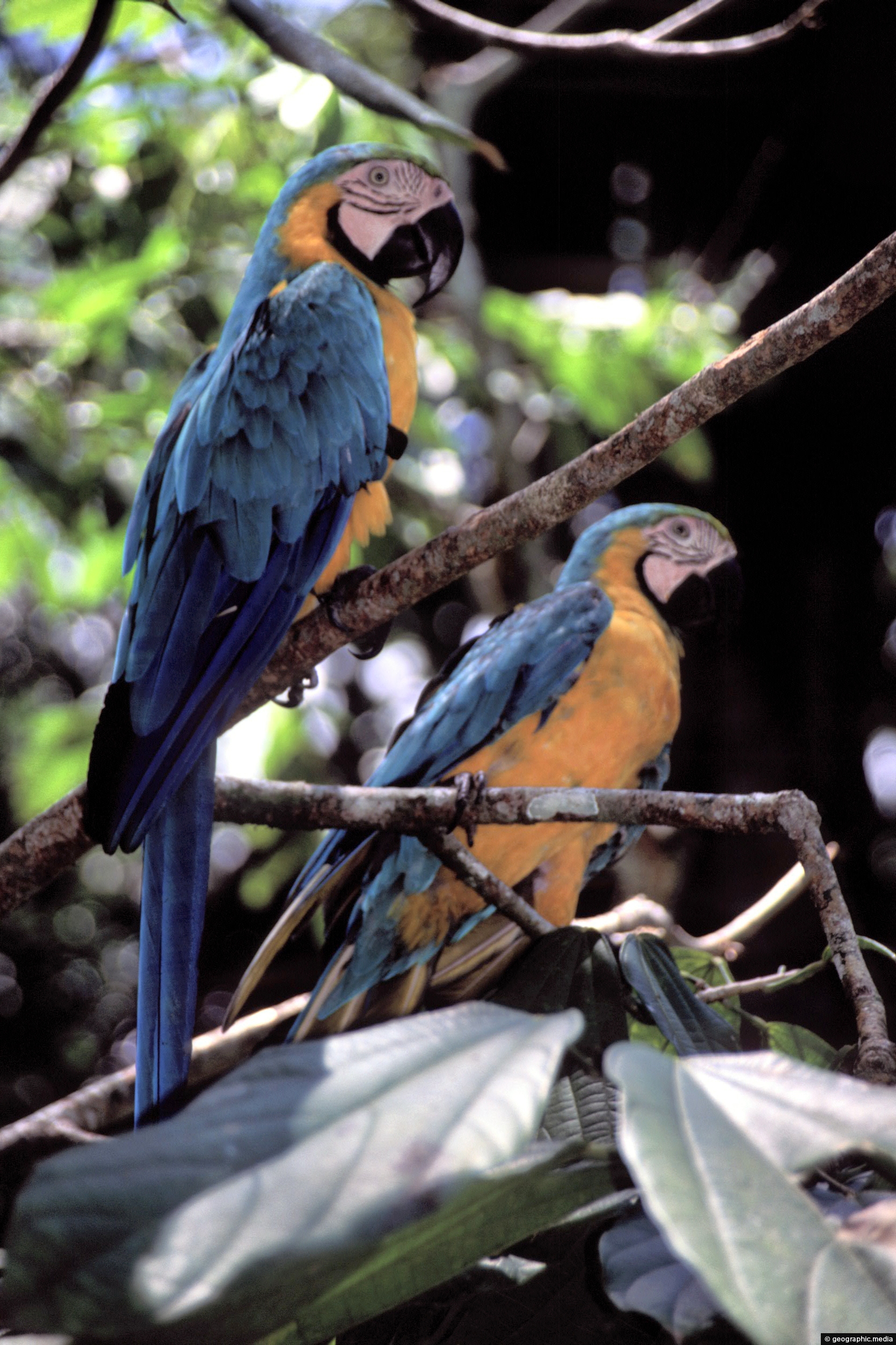
Blue and Gold Macaws in Colombia
Amazonas photos, Animals, Birds, Portrait / Vertical
View of two Blue and Gold Macaws in the Amazonas Region of Colombia. These birds are native to the...
-
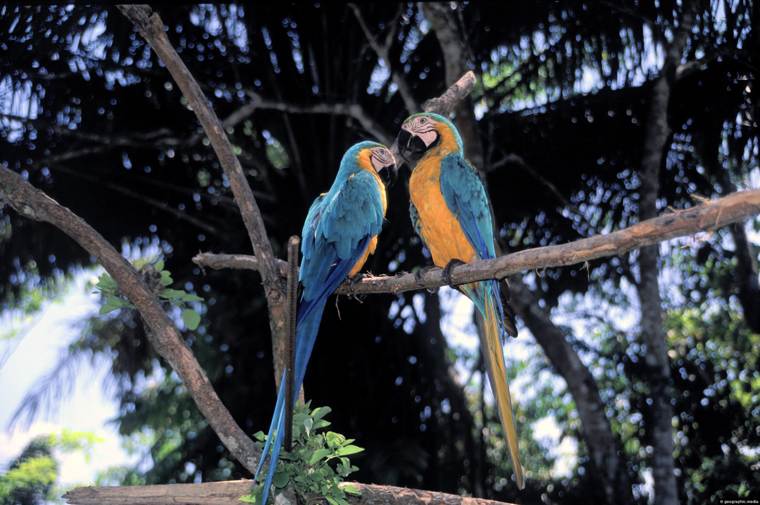
View of Two Gold Macaws in the Amazon
Amazonas photos, Animals, Birds, Landscape / Horizontal
Gold Macaws natural range is Central and South America. This pair of Macaws were spotted in the Upper Amazon...
-
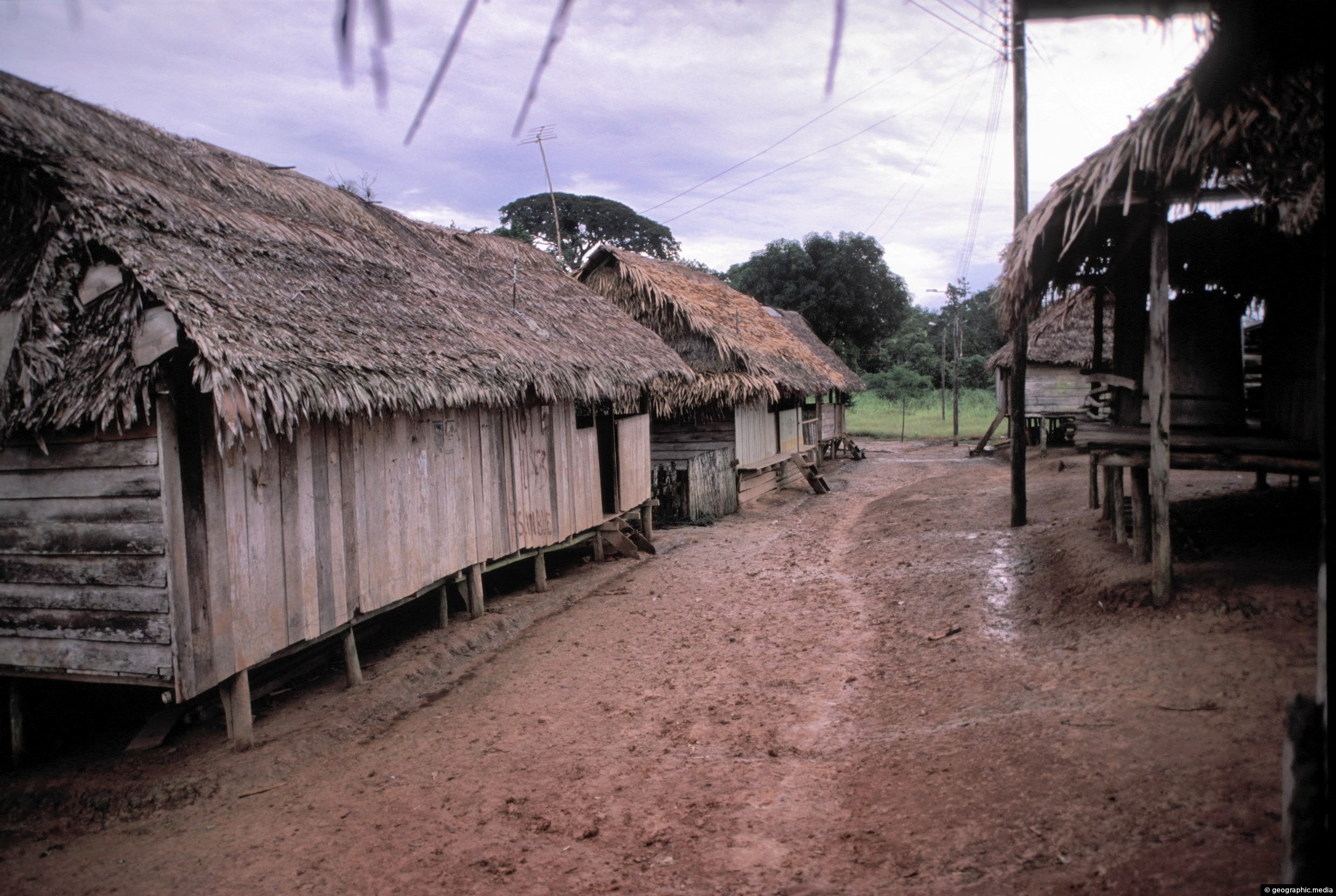
Street in an Amazon settlement
Amazonas photos, Homes, Landscape / Horizontal, Roads, Settlements
The main street in a small Amazonian settlement in southern Colombia. This area of the Amazon is called ‘The...
-
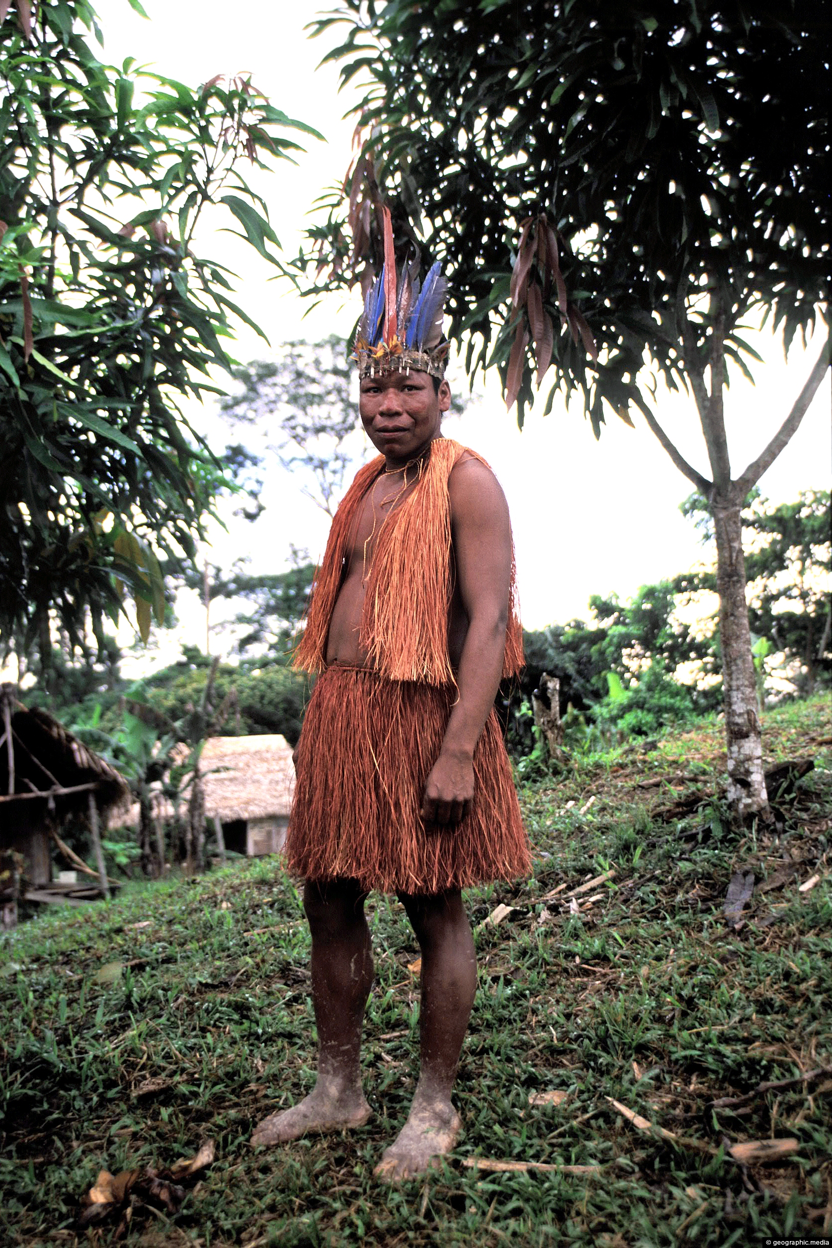
Shaman in the Colombian Amazon
Amazonas photos, Men, People, Portrait / Vertical
Photo of a shaman from a small isolated community near the Amazon River in Colombia, (circa 2002). Shamans live...
-
Thatched House in the Amazon
Amazonas photos, Homes, Landscape / Horizontal
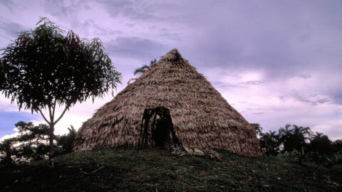
Pictured is a traditional thatched home. Usually beehive shaped, this type of home is becoming rarer as bigger homes...
0 Comments
Calendar
| M | T | W | T | F | S | S |
|---|---|---|---|---|---|---|
| 1 | 2 | 3 | 4 | |||
| 5 | 6 | 7 | 8 | 9 | 10 | 11 |
| 12 | 13 | 14 | 15 | 16 | 17 | 18 |
| 19 | 20 | 21 | 22 | 23 | 24 | 25 |
| 26 | 27 | 28 | 29 | 30 | 31 | |
Popular Posts
- Awakening New Zealand video (100)
- Iguazu Falls as seen from Brazil (87)
- Metrocable Medellin (78)
- Pauatahanui Inlet (69)
- Spinnaker Hill in Whitby Porirua (68)
- Spinnaker Hill View (68)
- View from Whitby (68)
- The Devil’s Throat (62)
- Aerial View of Iguazu Falls (61)
- Porirua Harbour & Papakowhai (57)
- Lake Wakatipu (57)
- Salto Rivadavia & Iguassu River (56)
- Lake Tekapo & Lupins (54)
- Nelson View (53)
- Salto Rivadavia Misiones Province (53)
- Cascadas at Iguazu (53)
Subjects
AccommodationAnimalsArchitectureBeachesBirdsBoatsBridgesBuildingsCarsChurchesCitiesCoralCultureExtra Wide HorizontalFlowersForestsHarborsHomesIslandsLakesLandscape / HorizontalMapsMenMonumentsMountainsPalmsParksPeoplePlantsPortrait / VerticalRiversRoadsRuralSeaShopsSkyscrapersSnowSunsetsTownsTrailsTransportTreesVideosVolcanicWaterfalls
Recent Comments
- Lance on Concrete Hut Wainuiomata
- Tony on Concrete Hut Wainuiomata
- DavidJ on Wellington Night Skyline
- Ben on Auckland City Skyline from Westhaven Marina in 1998
- Ben on Auckland Harbour Bridge view

