A satellite view of Argentina in South America. The Andes can be clearly seen because of snow.
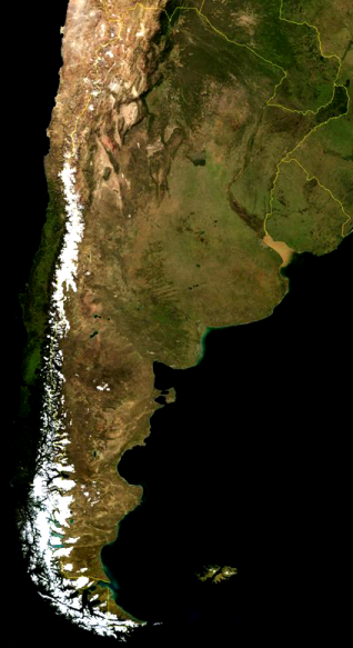


A satellite view of Argentina in South America. The Andes can be clearly seen because of snow.
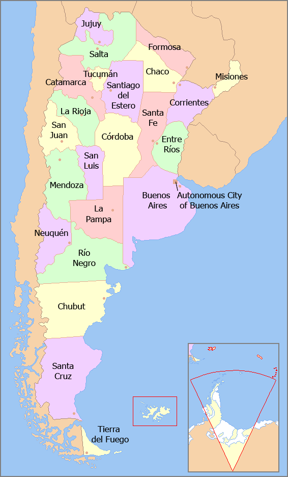
Argentina is made up of 23 provinces and one autonomous city, Buenos Aires, the capital city. Each province and...
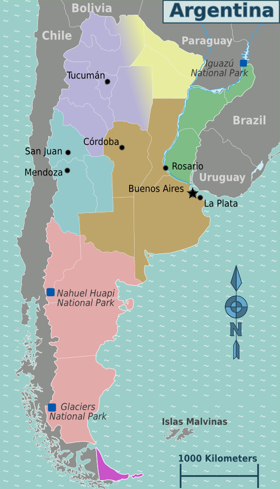
Argentina has seven regions. The regions are as follows: Andean Northwest, Chaco, Cuyo, Mesopotamia, Pampas, Patagonia, and Tierra del...
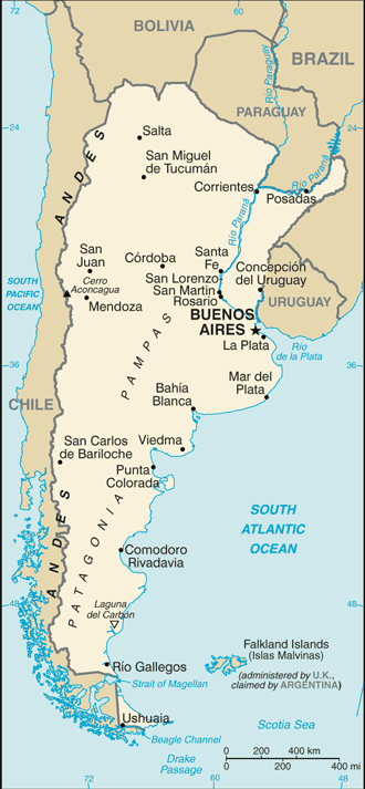
A basic map of Argentina showing main cities and towns as well as surrounding countries.
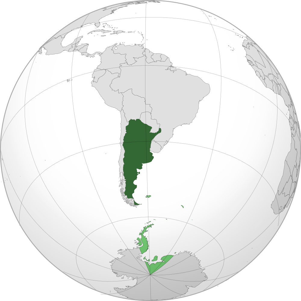
Projection of Argentina on the globe and in a South American context. It is the second largest country after...
