

Upper Hutt offers many locations for autumn colors like Maidstone Park and Aston Norwood Gardens. Pictured is Norwood Gardens.
Autumn Colors in Upper Hutt
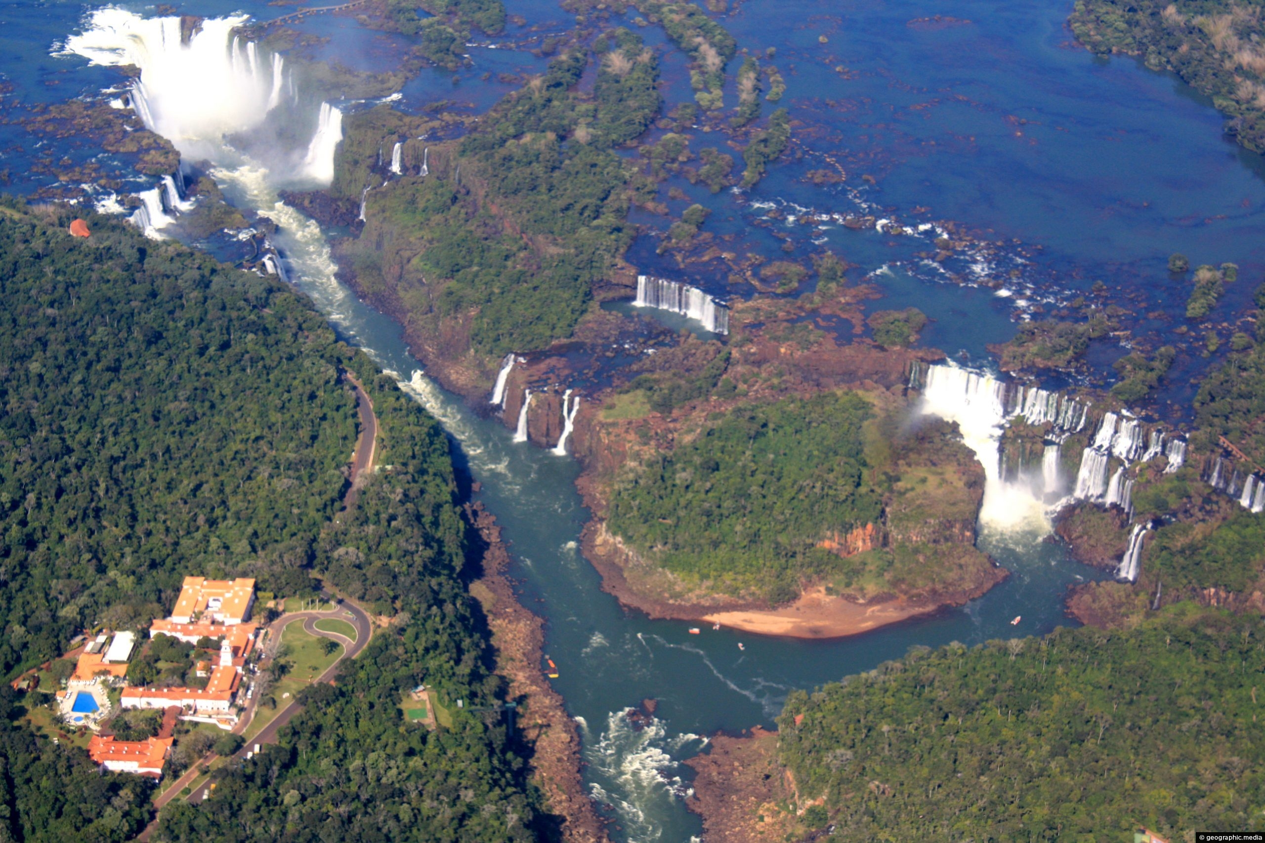
Aerial view of Iguassu Falls. The large building to the left is on the Brazilian side of the falls....
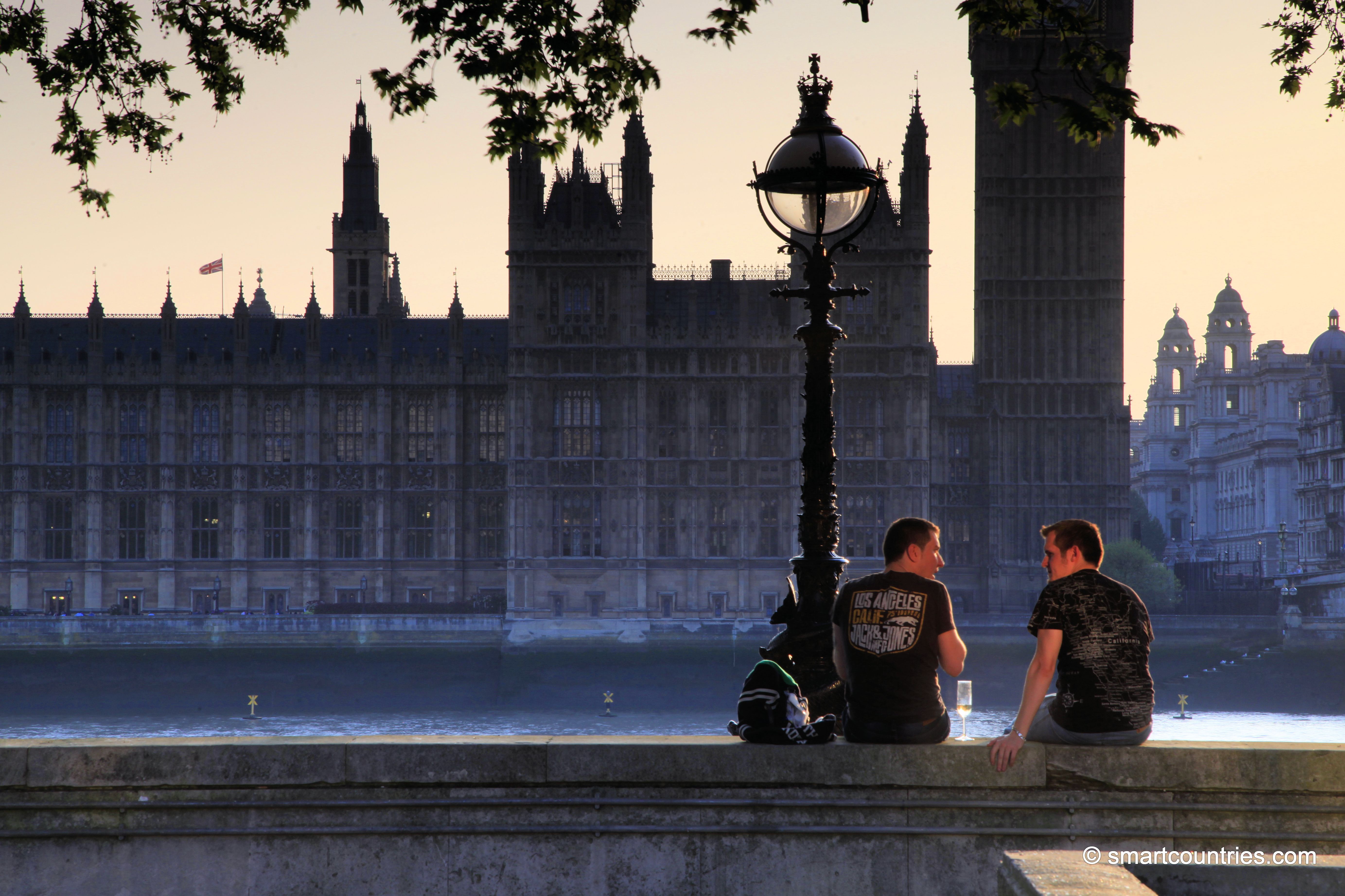
Timeout on the Thames. Friends conversing in front of the River Thames and the Palace of Westminster.
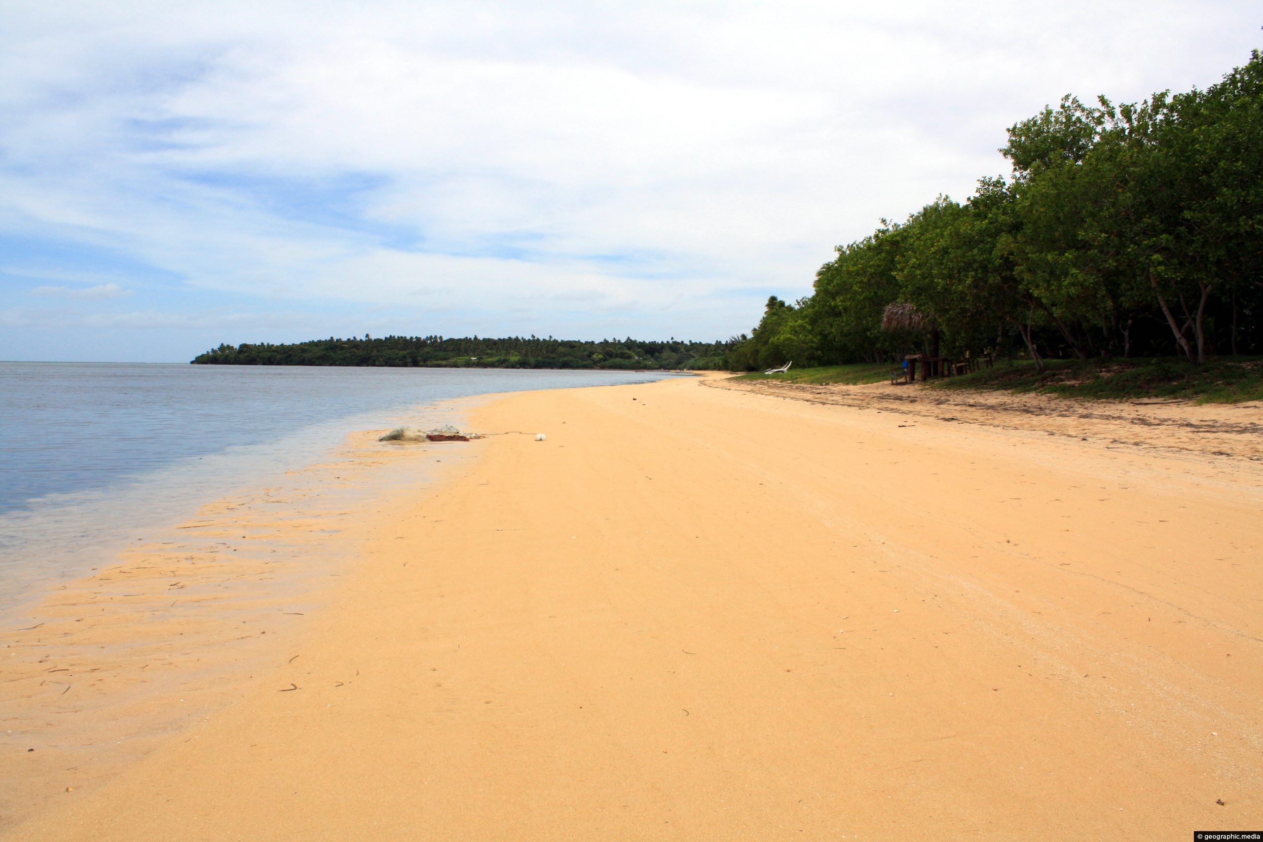
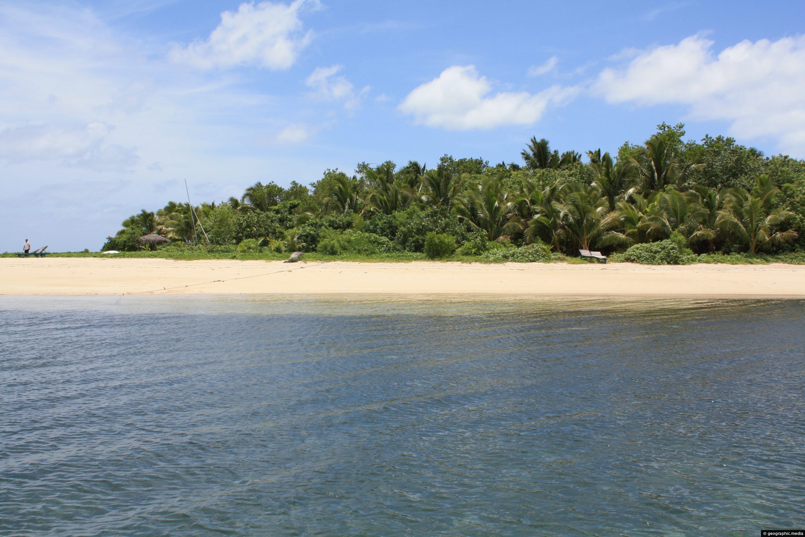
The sand on Atata Island is an unusual orange color. Most other small islands in Tonga are coral cays...
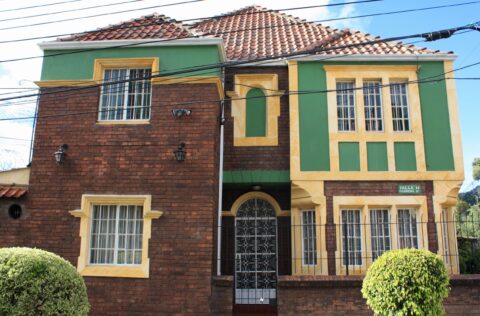
Another stately home in the suburb of La Merced in Bogota, Colombia. Houses here were built by the company...
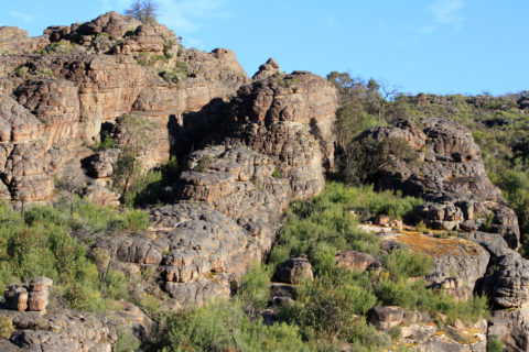
Looking at a small rock canyon within the slope of a hill in Grampians National Park. While it is...
View of a street and homes in the English city of Bath in Somerset. The city is renown for...
Day trips to Fafa Island depart nearby Nuklu’alofa. You can spend a day on the island and use the...
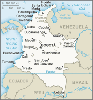
Map showing the main cities of Colombia as well as the surrounding countries, oceans, and seas.

New Zealand, located at the southwestern edge of the Pacific Ocean, is the most remote developed nation in the...
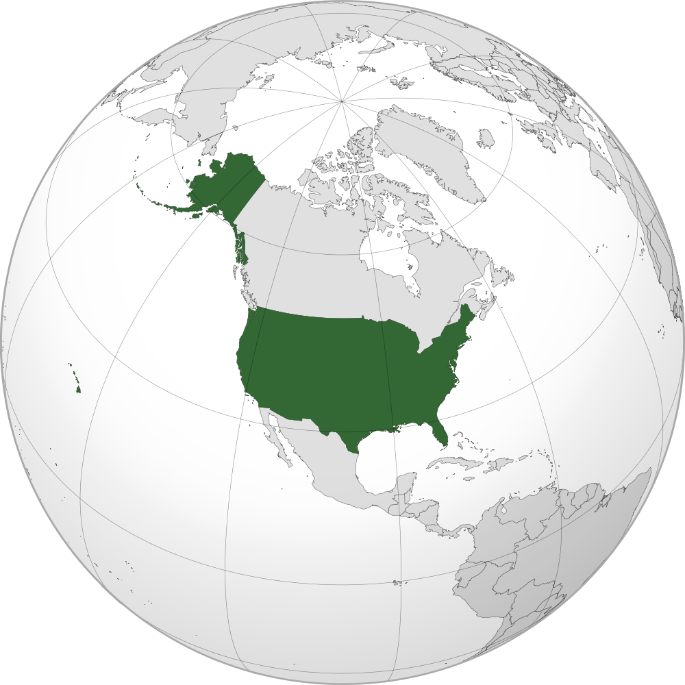
Location of the USA on the globe The USA is bordered by Canada in two different locations including the...

Recent Comments