
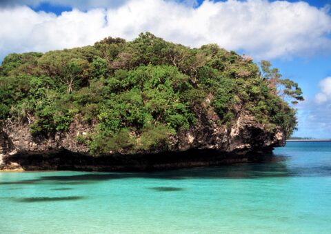
Sacred Rock divides Kanumera Bay into two beaches. Also known as La Rocher, the rock is sacred to the...
Sacred Rock in Kanumera Bay
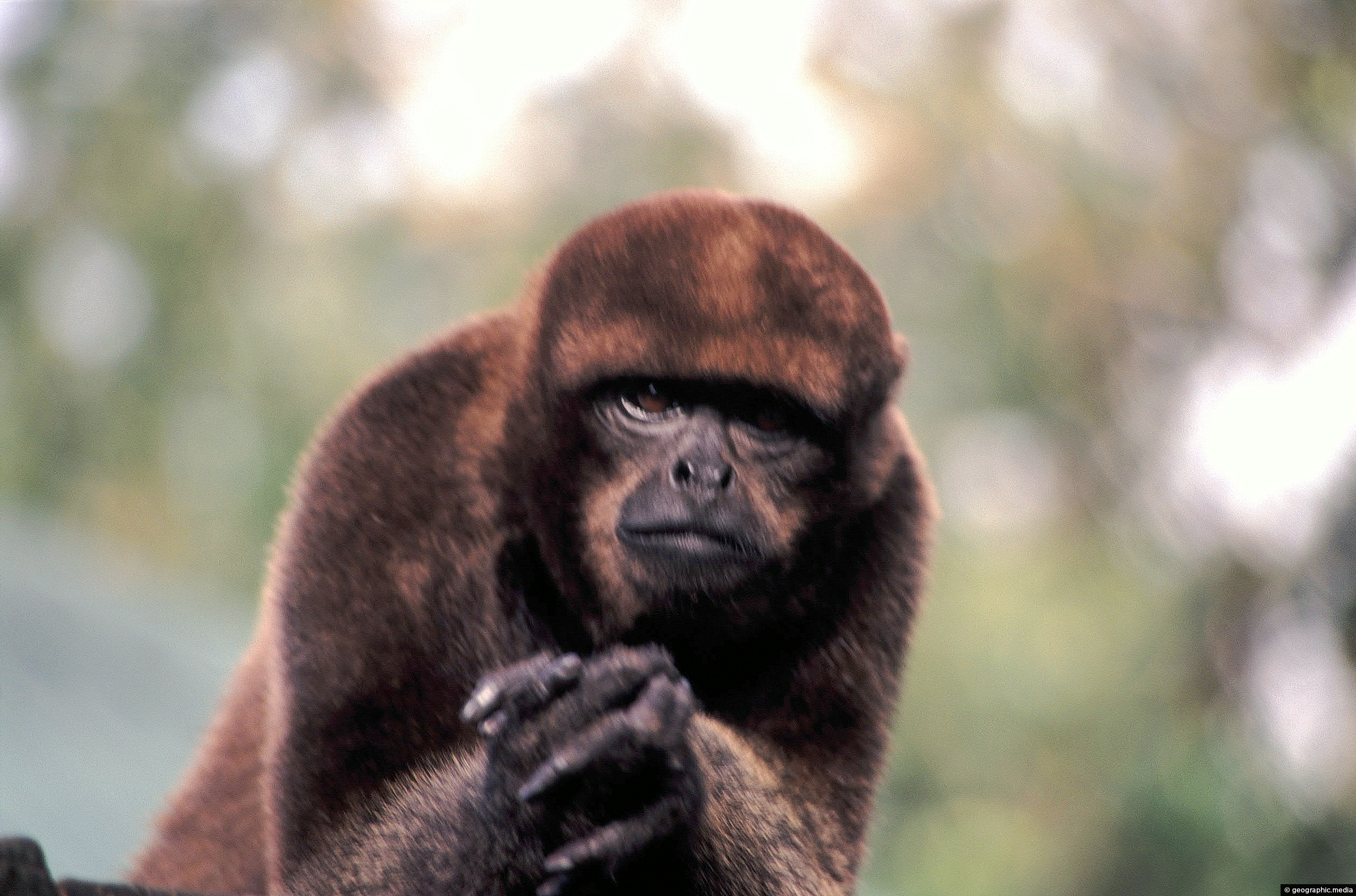
Zooming in on a Woolly Monkey spotted in the Colombian Amazon. Also known as woolly spider monkeys, they are...
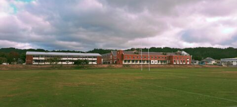
St. Patrick’s College is a state-integrated Catholic boys’ day and boarding secondary school located in Silverstream, Upper Hutt. Its...
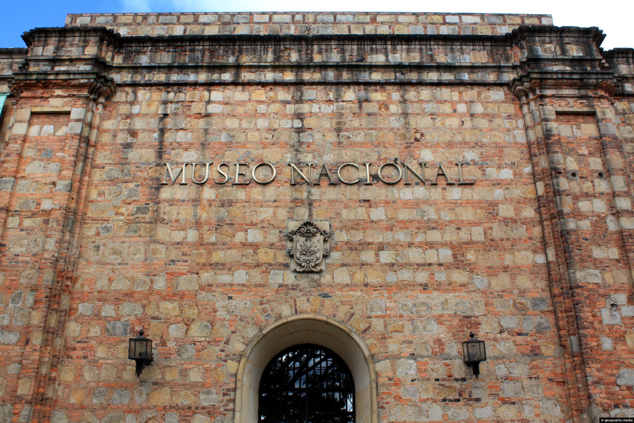
The Museo Nacional de Colombia (National Museum of Colombia) houses collections of Colombian art, culture, and history. It is...
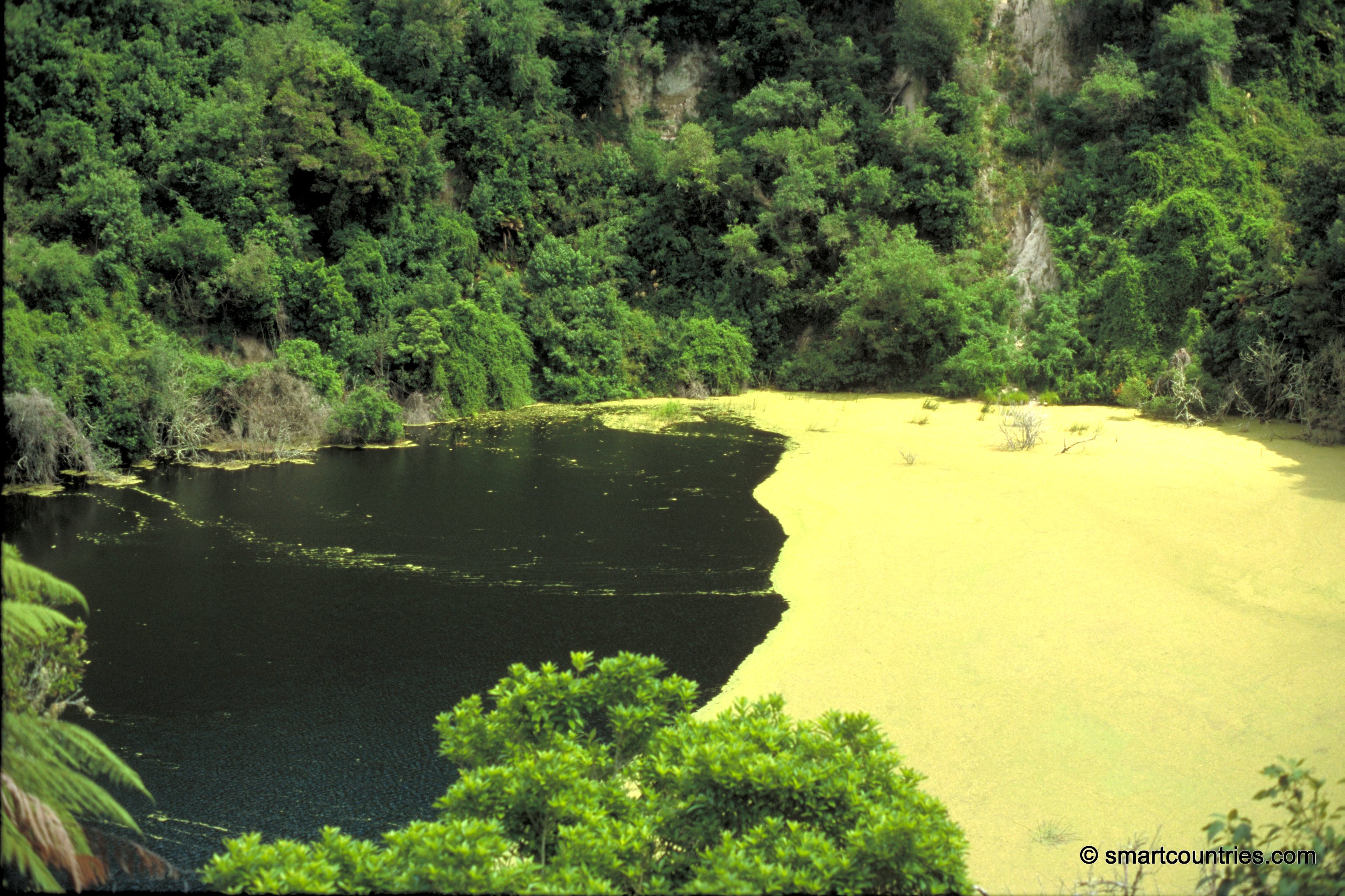
Southern Crater was formed in 1886 from a single eruption. Since then, it has not been active. Today, this...
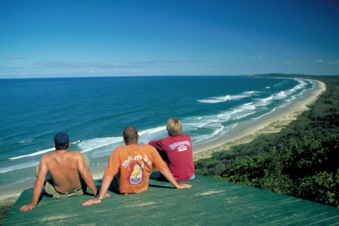
Some locals checking out the surf in Byron Bay (circa 1999). Byron is one of Australia’s most iconic surf...
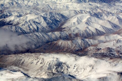
Looking down upon the Andes mountains in Argentina. These mountains for the border between Argentina and Chile.
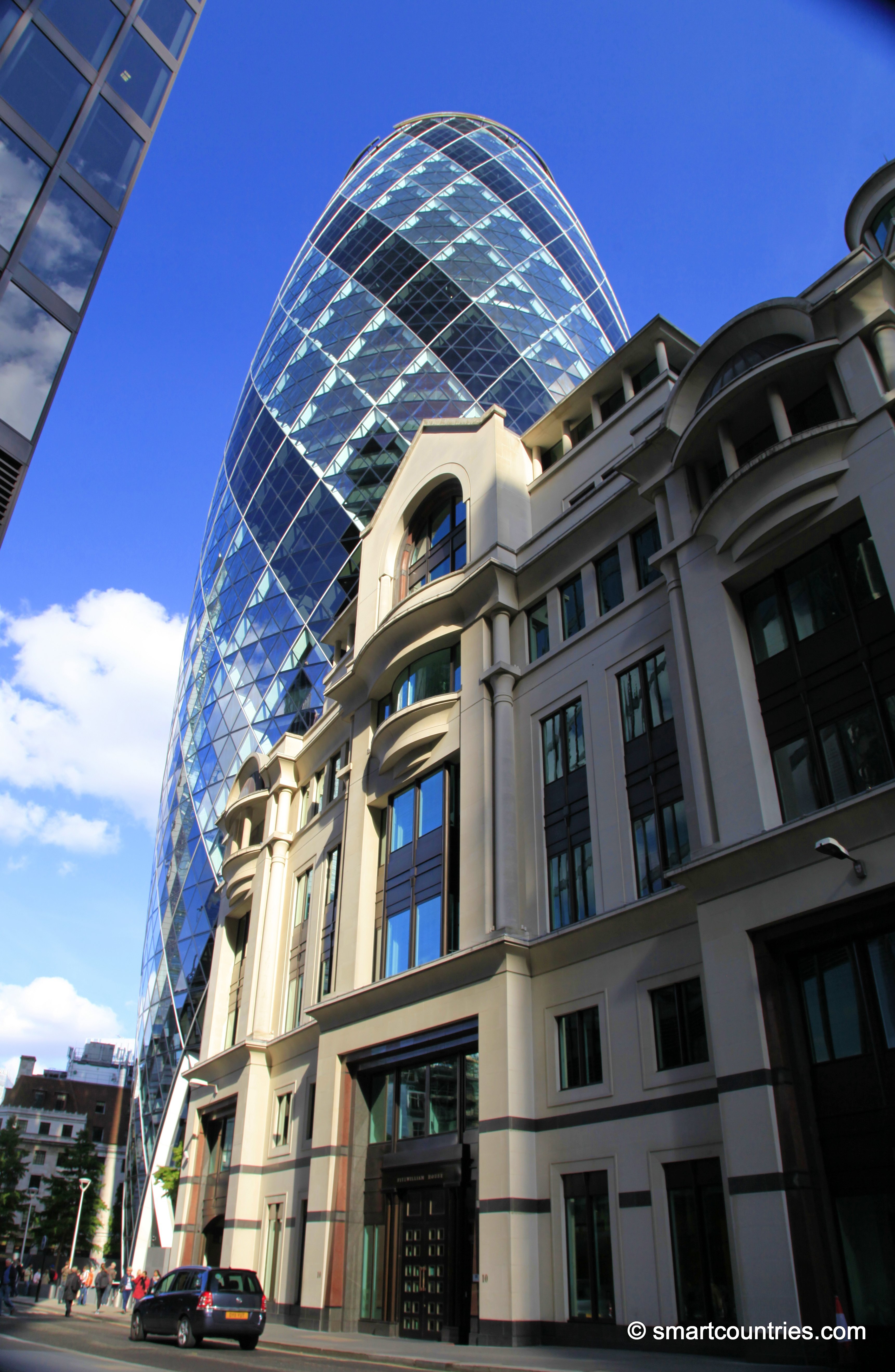
30 St Mary Axe is known as the Gherkin. It is an unusual looking skyscraper located in the financial...
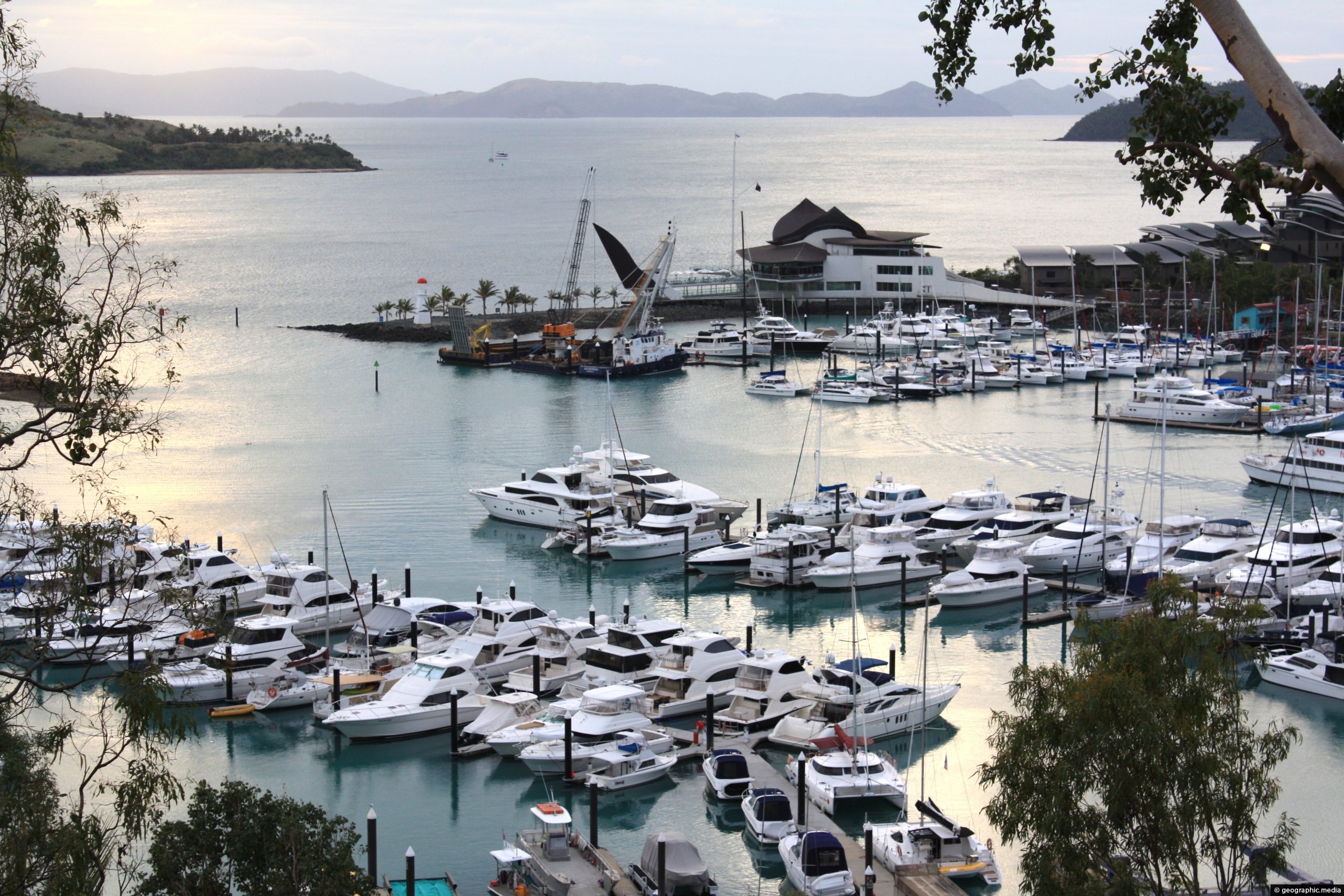
View of the marina on Hamilton Island. Among the boats a number of super yachts are in view.
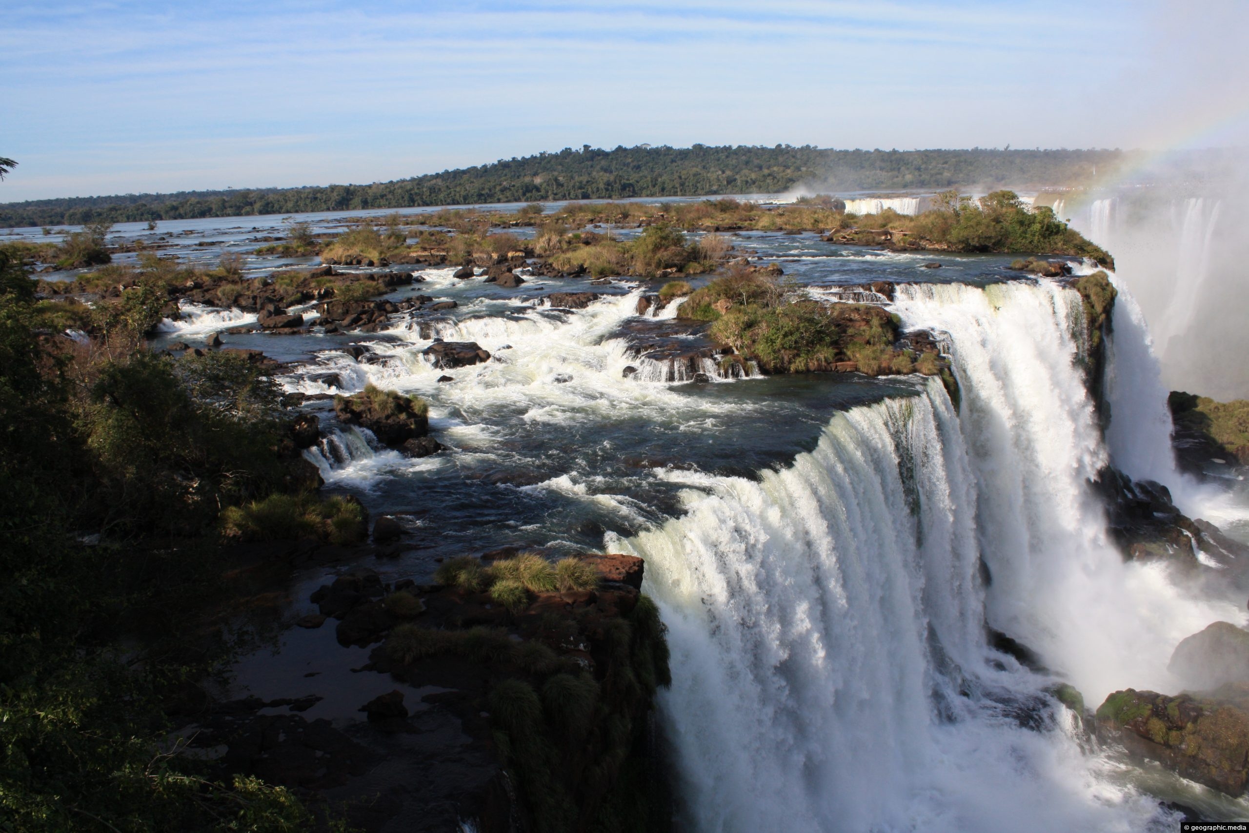
Looking at Iguassu Falls from the Brazilian side with a good section of the Iguassu River visible in the...
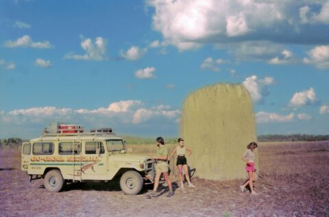
Photo of a giant magnetic termite mound in Litchfield National Park, in the Northern Territory, (circa 1988). Tours in...
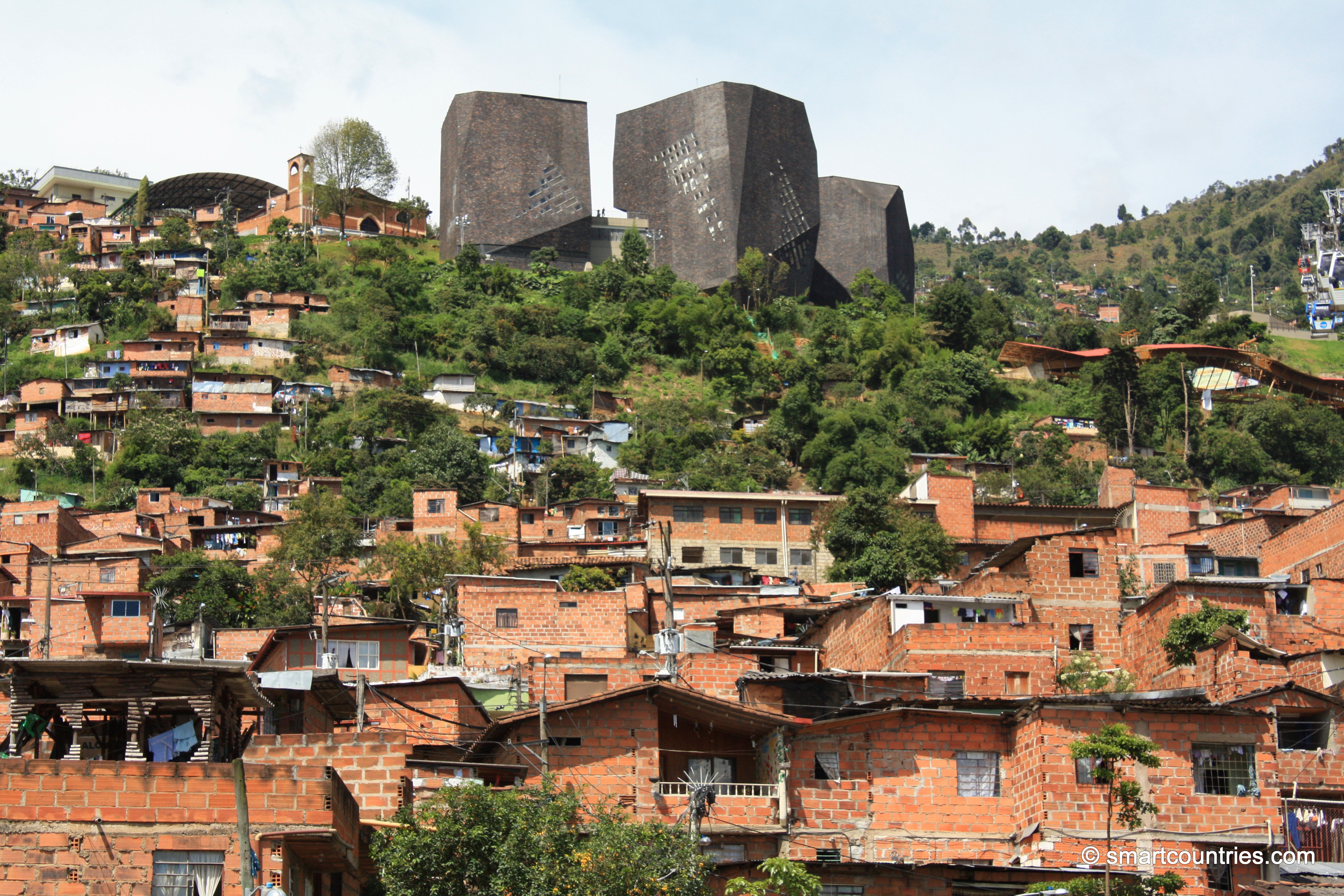
View of Santo Domingo a suburb of Medellin in Colombia as seen from the suburb of Popular. The black...

Recent Comments