
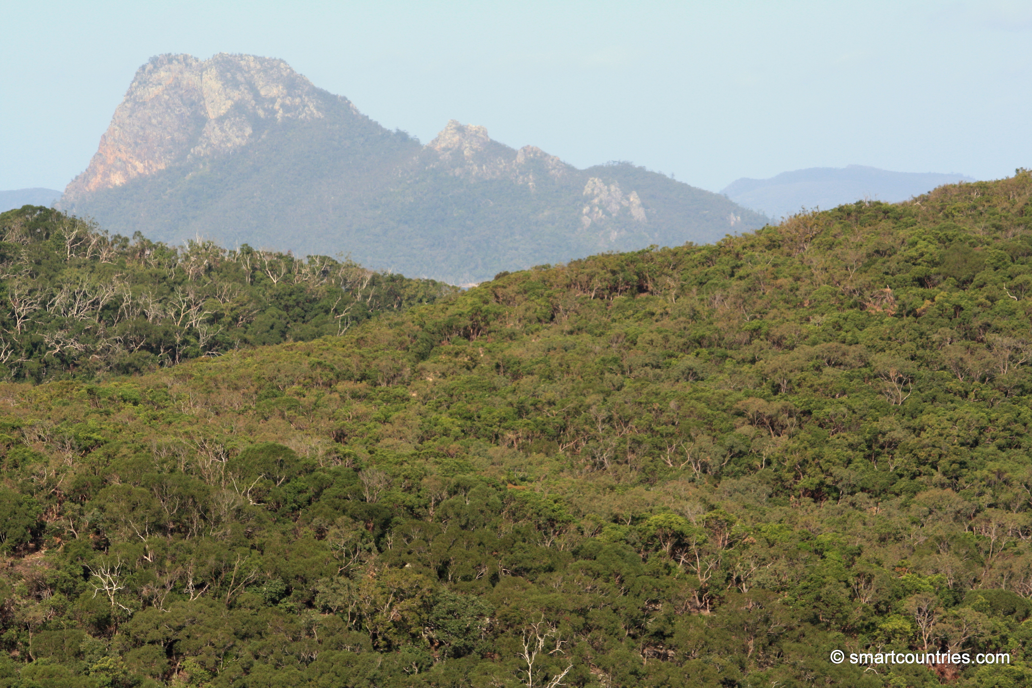
View from Hamilton Island with the peak of nearby Pentecost Island jutting out from behind.
Pentecost Island Peak
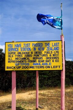
Road sign alerting drivers of the last gas station (service station) as you head to the northern most point...
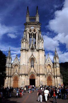
The Basílica de Nuestra Señora de Lourdes is a Roman Catholic church located in the Chapinero neighborhood of Bogotá,...
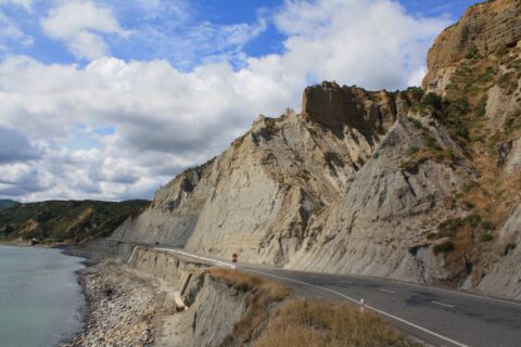
Whatarangi Bluff is a notable geological feature located in the Wairarapa region of New Zealand. This eroded limestone cliff...
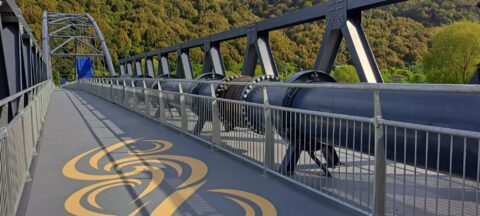
The Whakawhirinaki Silverstream Pipe Bridge is a new infrastructure project spanning the Hutt River in the Lower Hutt region...
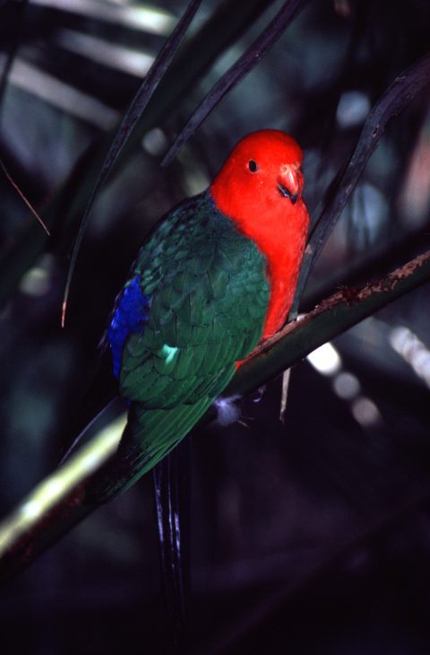
King Parrots are endemic to eastern Australia. The parrot’s natural range is coastal Victoria to southern and coastal Cape...
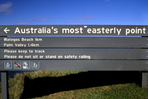
A sign indicating the path that leads to most easterly point on the Australian mainland (circa 1999).
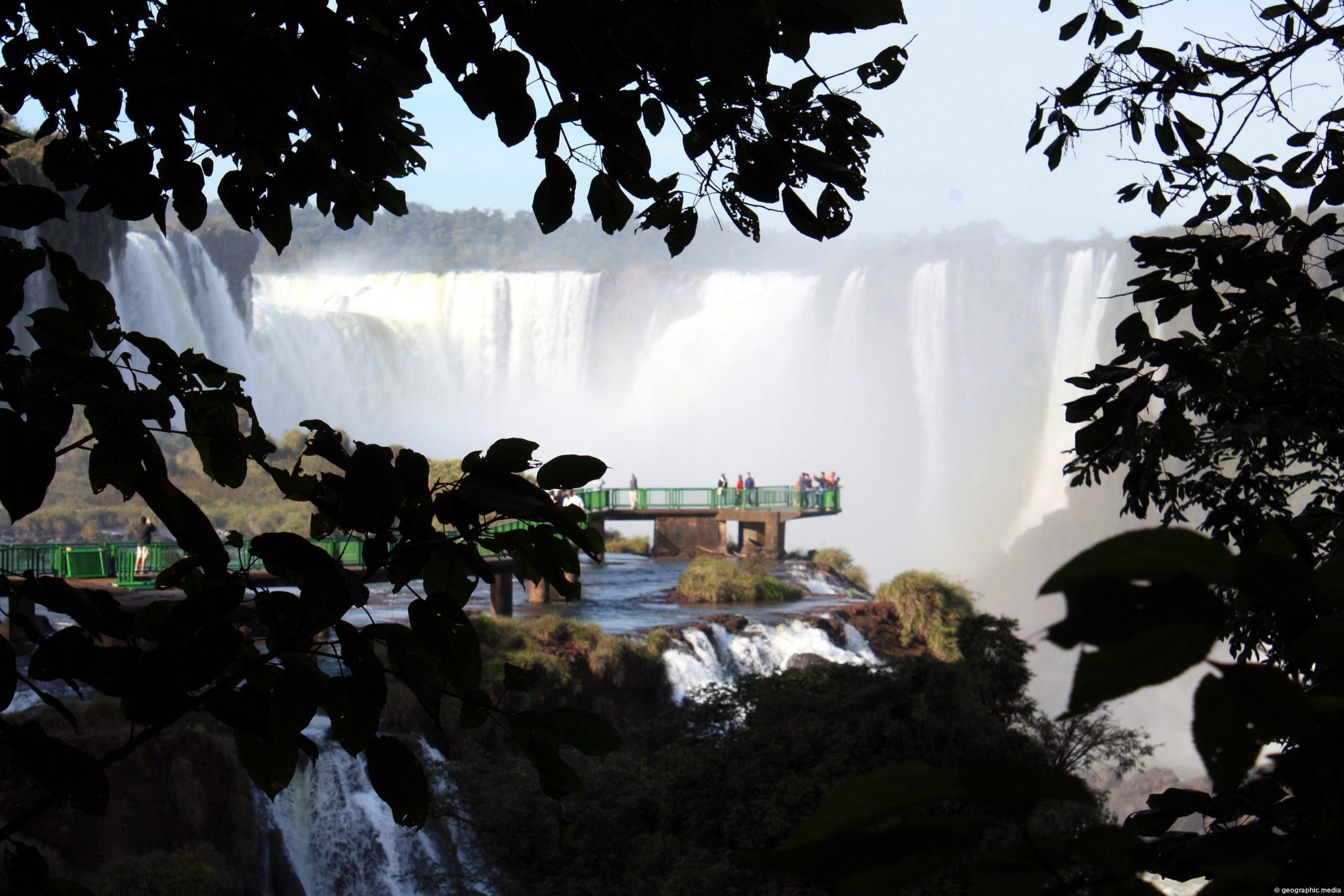
A distant view of Icuasu Falls showing a viewing platform on the Brazil side of the waterfalls.

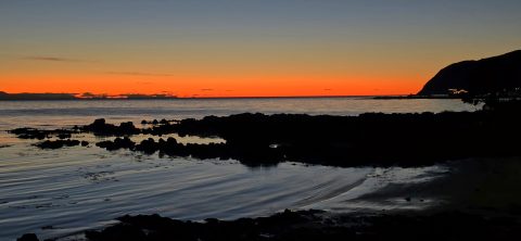
The rugged Plimmerton coastline takes on a dramatic appearance at sunset, with the fading light stretching across the Tasman...
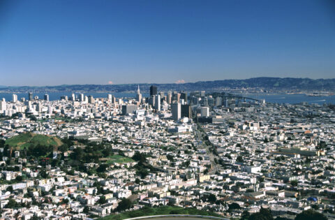
Looking at San Francisco from Twin Peaks lookout. Twin Peaks is a pair of hills in San Francisco, California....
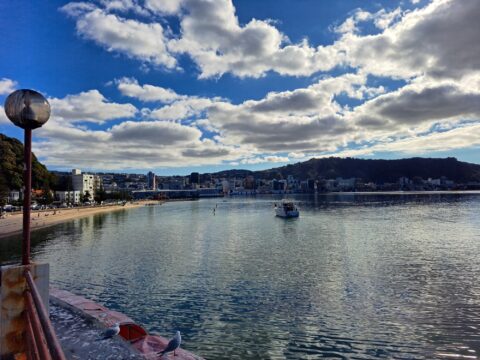
Oriental Bay and distinctive clouds, with the Wellington city center in view. Photo taken from the Oriental Bay Pavilion.

Recent Comments