
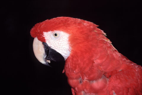
Zooming in on a Scarlet Macaw inside the Amazon rainforest, Colombia. The Scarlet Macaw (Ara macao) is a large,...
Scarlet Macaw
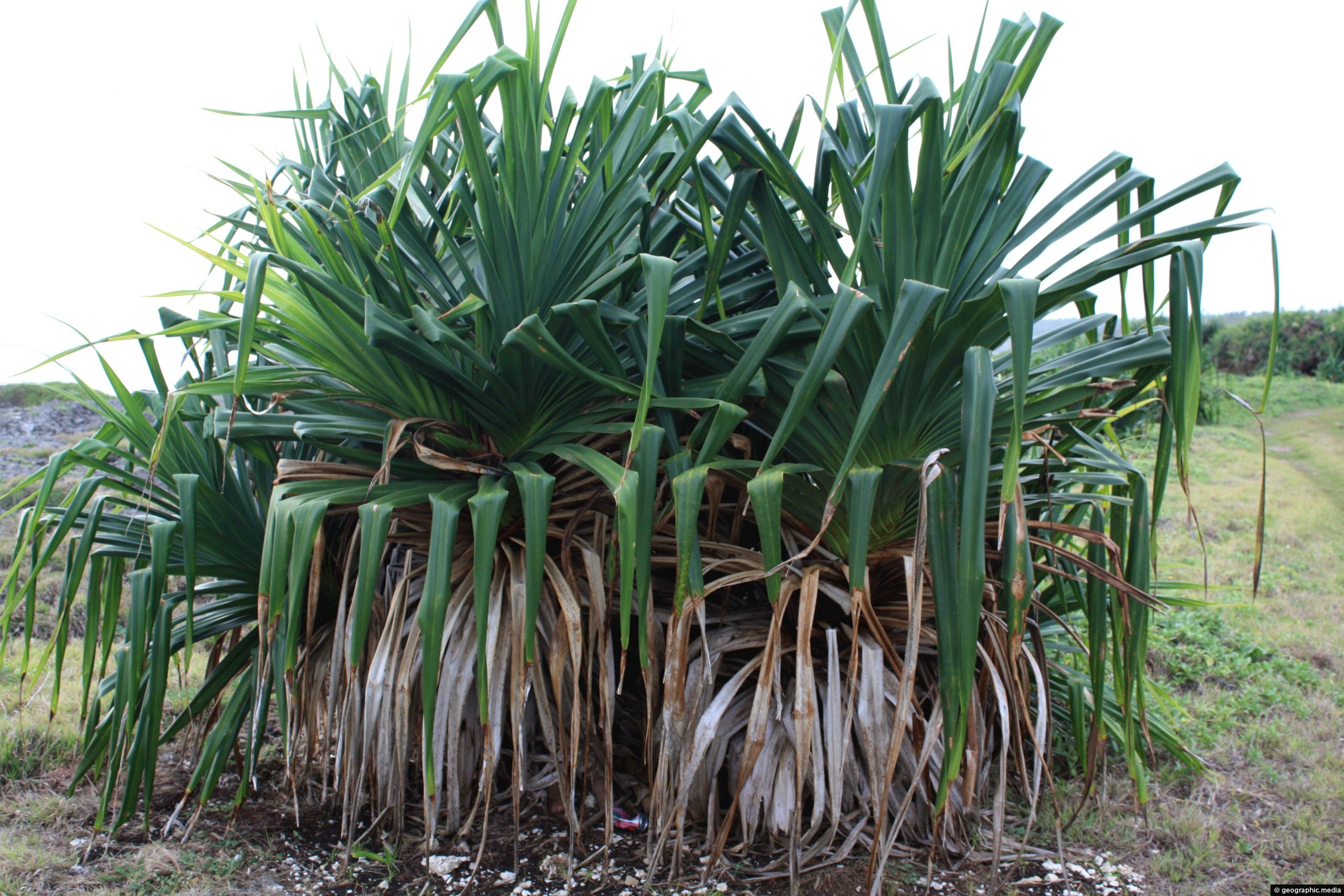
A sole Pandanus Palm on Eua Island located in the scenic rock gardens. This location has a number of...
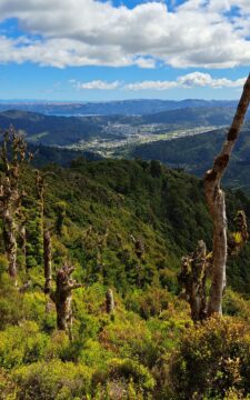
Looking down on Wainuiomata Valley from atop the Remutaka Range near Mt McKerrow in the southern North Island. Wellington...
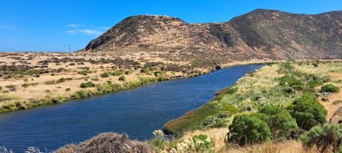
View of the lower reaches of Wainuiomata River in New Zealand’s Wellington Region. The upper reaches of this river...
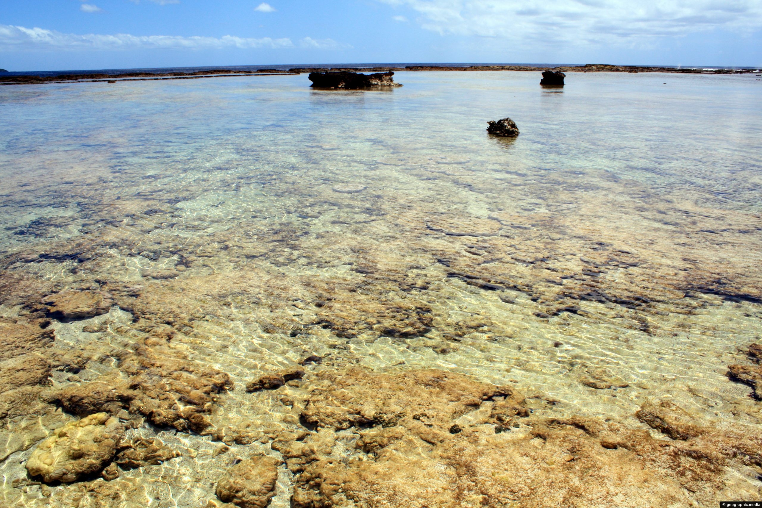
Crystal clear water reveals a coral garden on the Eua Island coastline in Tonga.
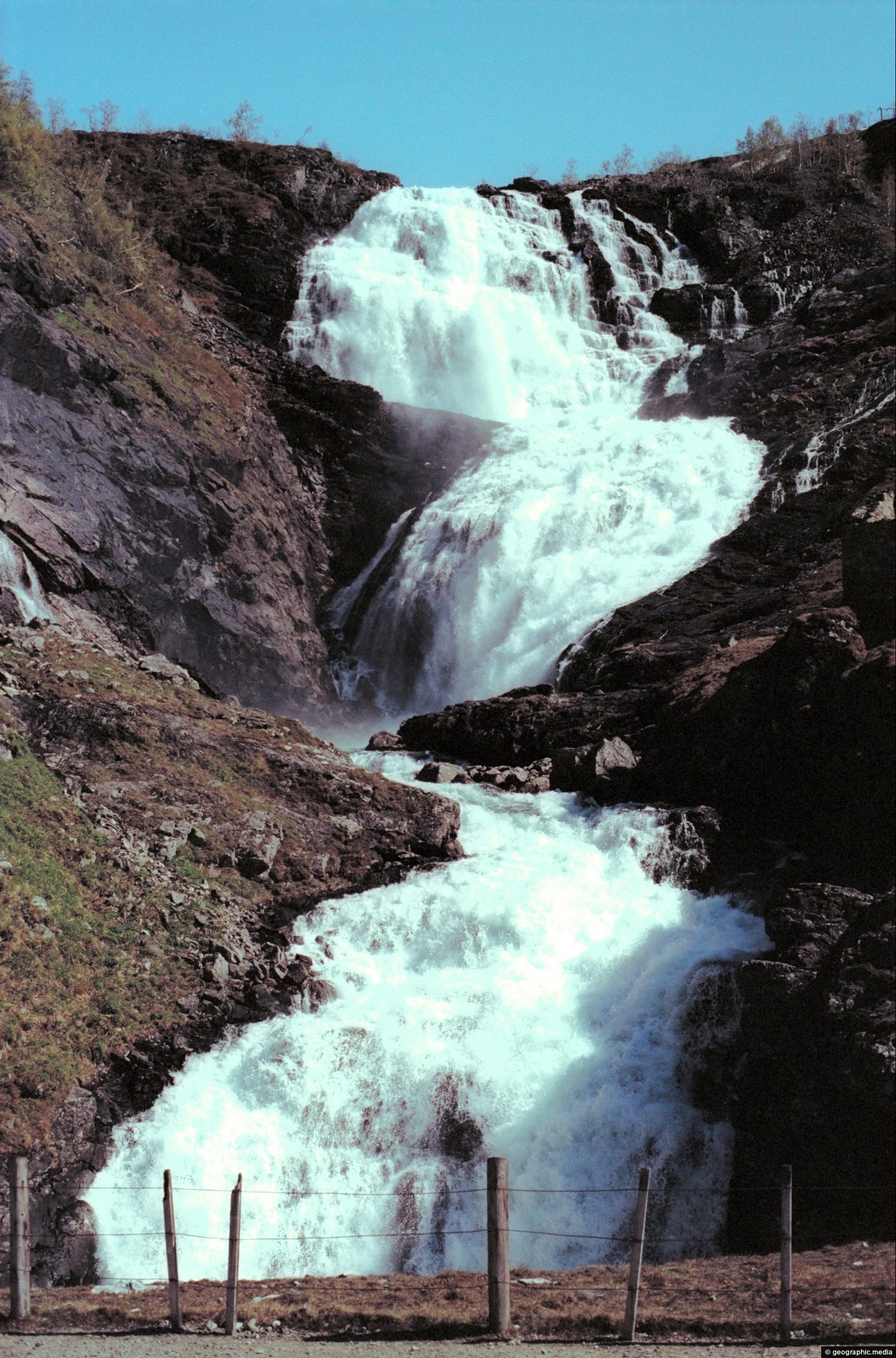
Directly behind the tourist village of Geiranger lies the powerful Grinddalsfossen waterfall. It starts at 660 meters above Geiranger...
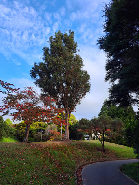
The colors of autumn are prevalent on the Whitby Walkway in late April and early May. The walkway is...
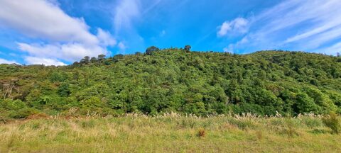
View of a field containing toetoe. Toetoe is a type of grass native to New Zealand and is similar...
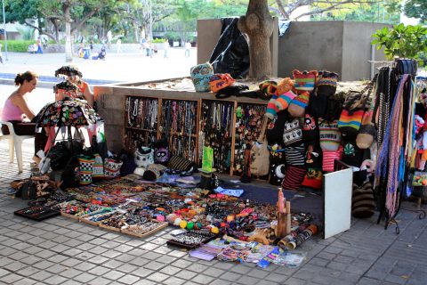
A small handicraft stall in the main square of Girardot, Colombia. The town is a renown tourist destination, especially...
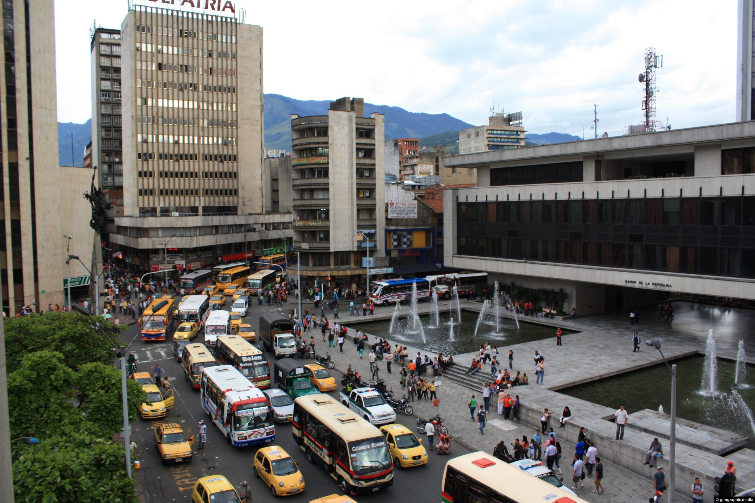
View of Avenida Colombia in Medellin’s central business district, (circa 2009)
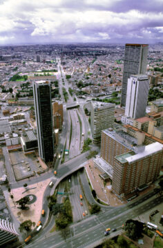
Avenida El Dorado is a major avenue in Bogotá, Colombia. It runs east to west and connects several important...
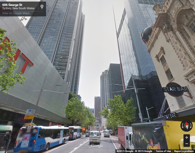
Interactive Sydney Street View starting at George Street Try navigating down George Street till you get to the famous...
Recent Comments