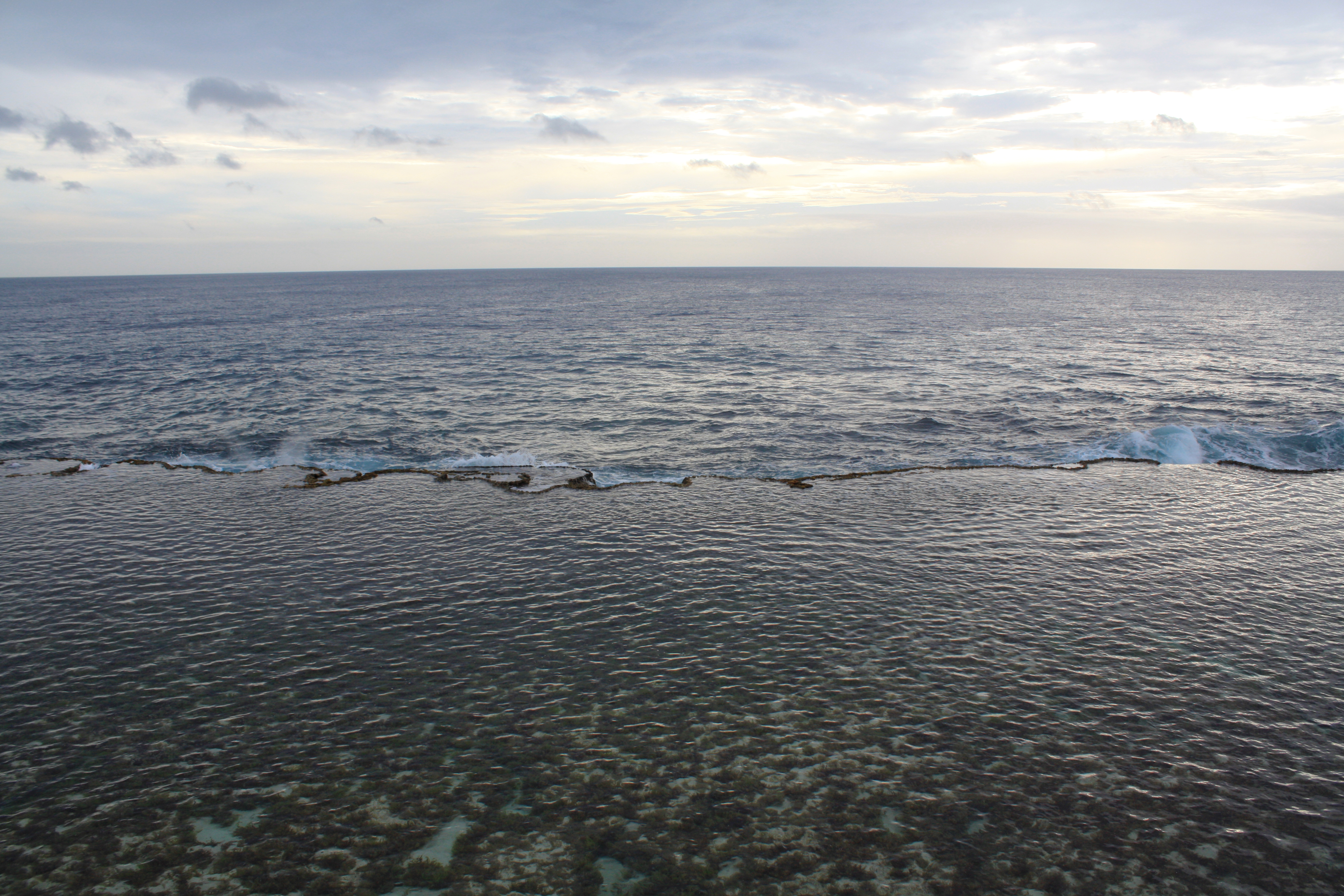
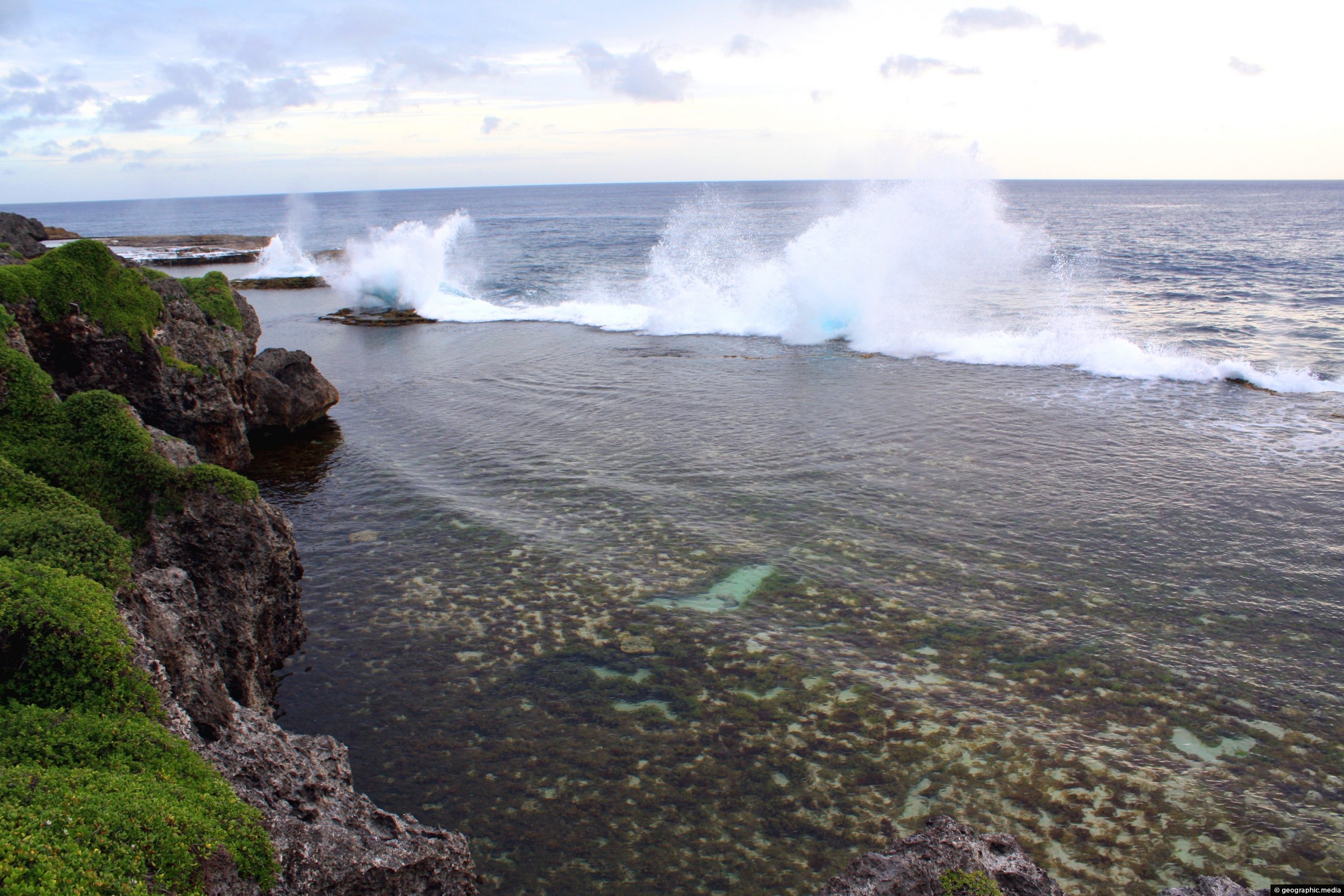
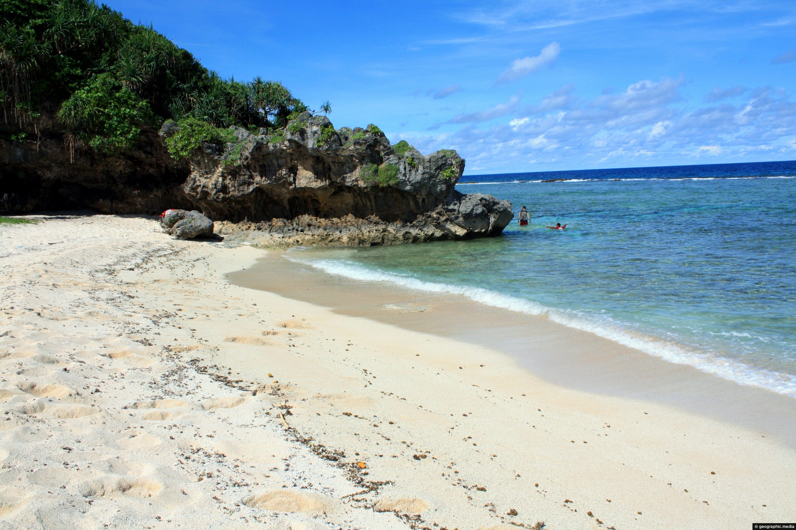
A moment of calm at Mapu a Vaea on Tongatapu Island. You can clearly see the border where the barrier reef meets the sea.
Click Jigshare icon to turn the image into a jigsaw. Or click on photo to download or view full screen image.

A moment of calm at Mapu a Vaea on Tongatapu Island. You can clearly see the border where the barrier reef meets the sea.
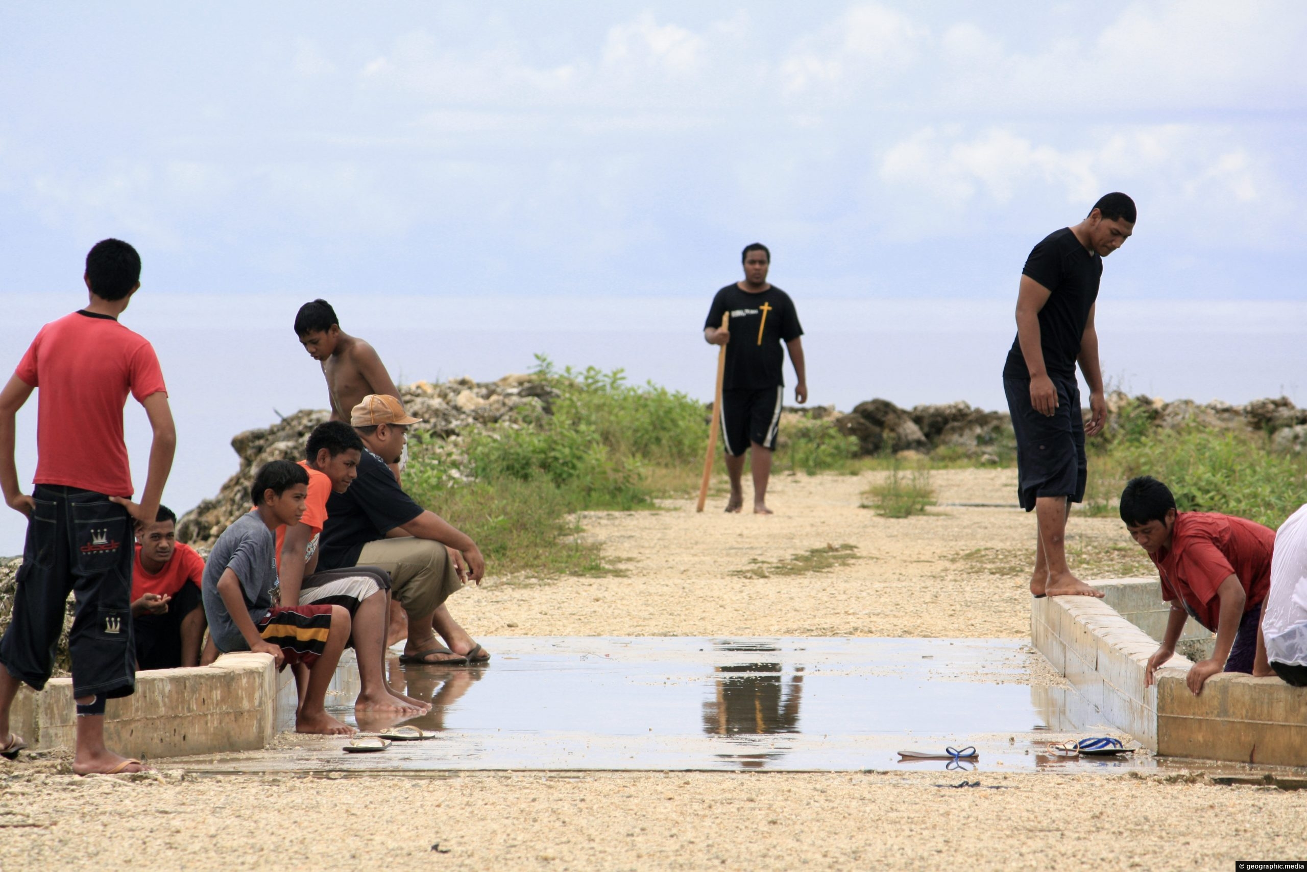
Tongans enjoying a swim in the sea near Nukualofa. The town is located on the coastline so it is...
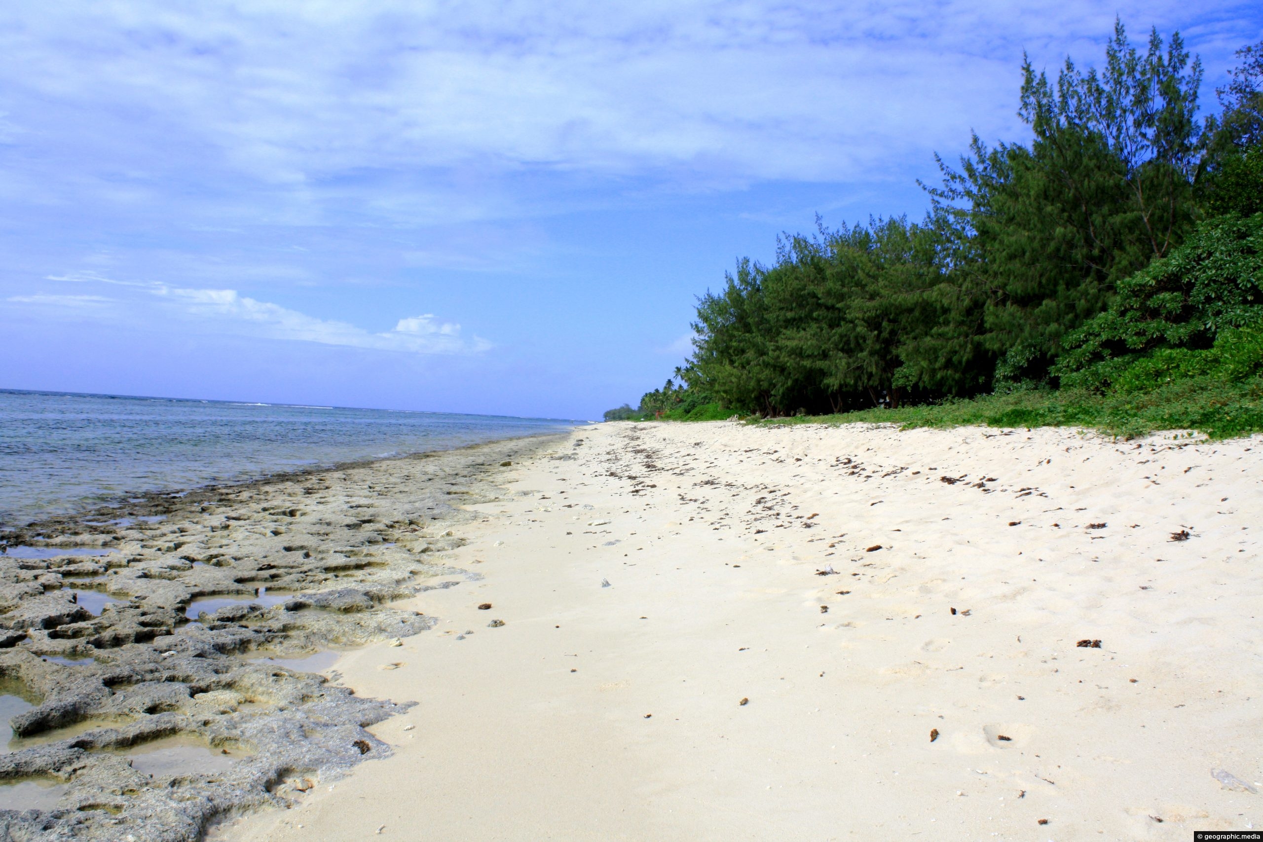
View of Ha’atafu Beach on Tongatapu Island with coral exposed at low tide. Tongatapu is a great place for...
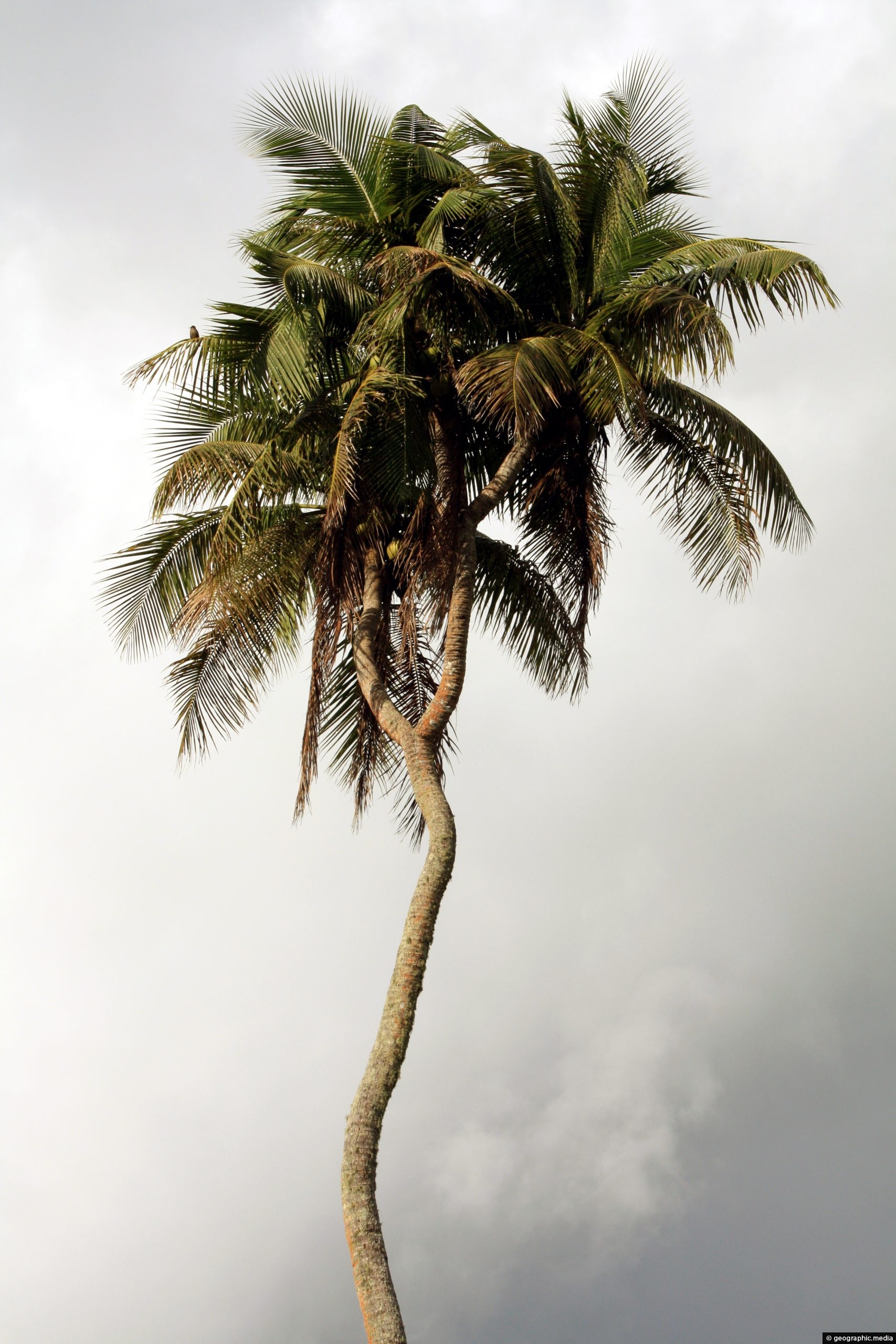
This is the only palm tree in the world with three branches. Seeds have been taken from this tree...
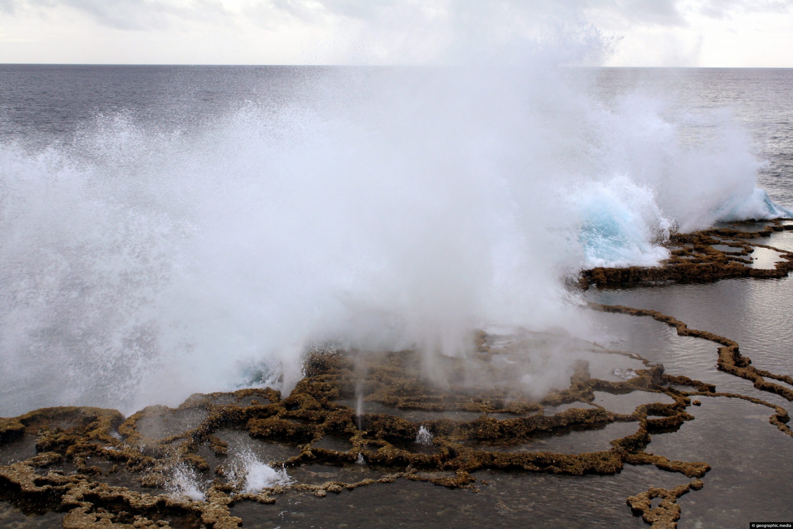
Mapu a Vaea is a 5 km (3 mi) stretch of the Tongatapu Island coastline. The surf crashes against...
Waves crashing into a coral reef barrier at Mapu a Vaea. This part of the Tongatapu Island coastline is...
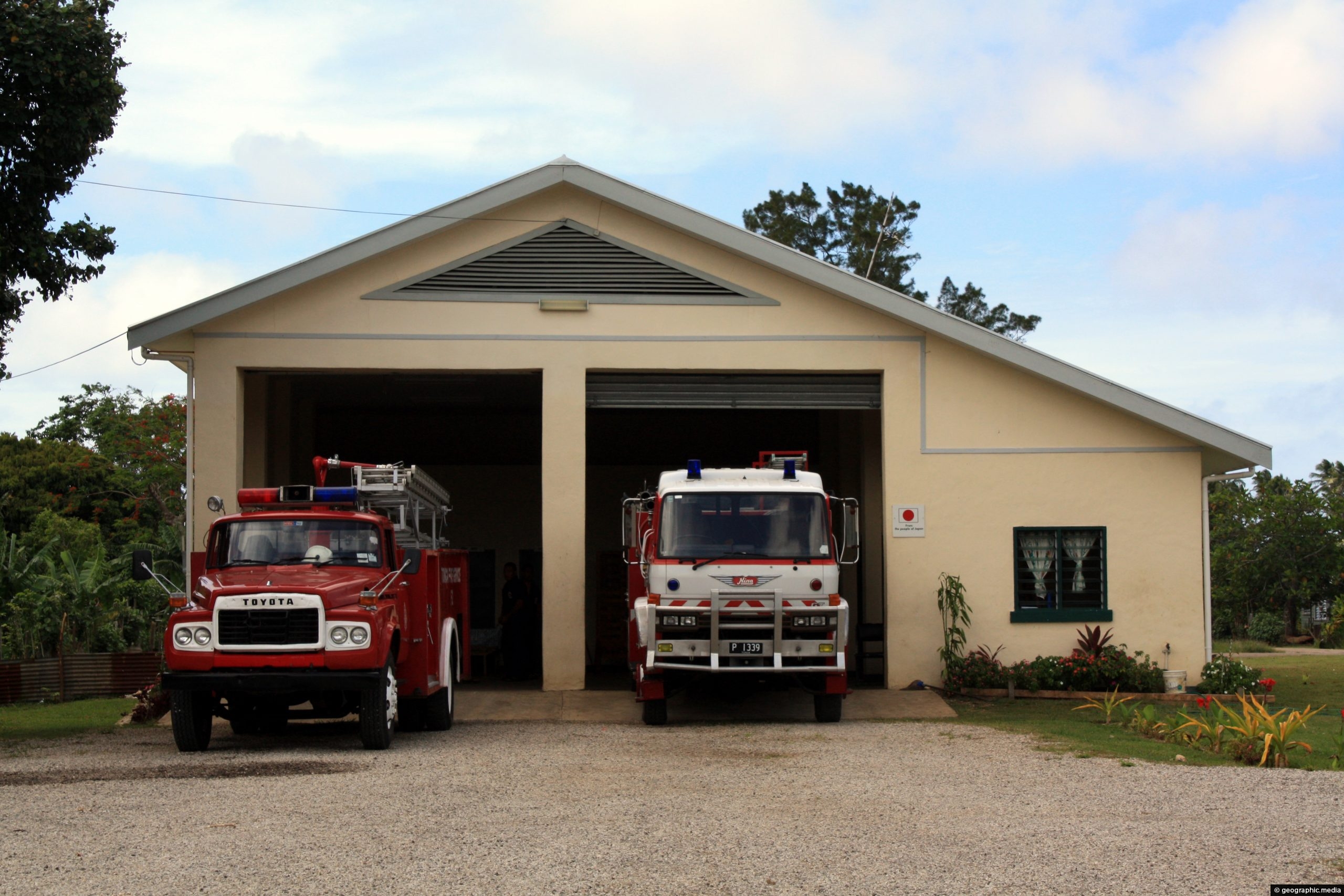
View of the Fire Brigade on Tongatapu Island in Tonga, (circa 2008). The Australian Government provided the fire service...
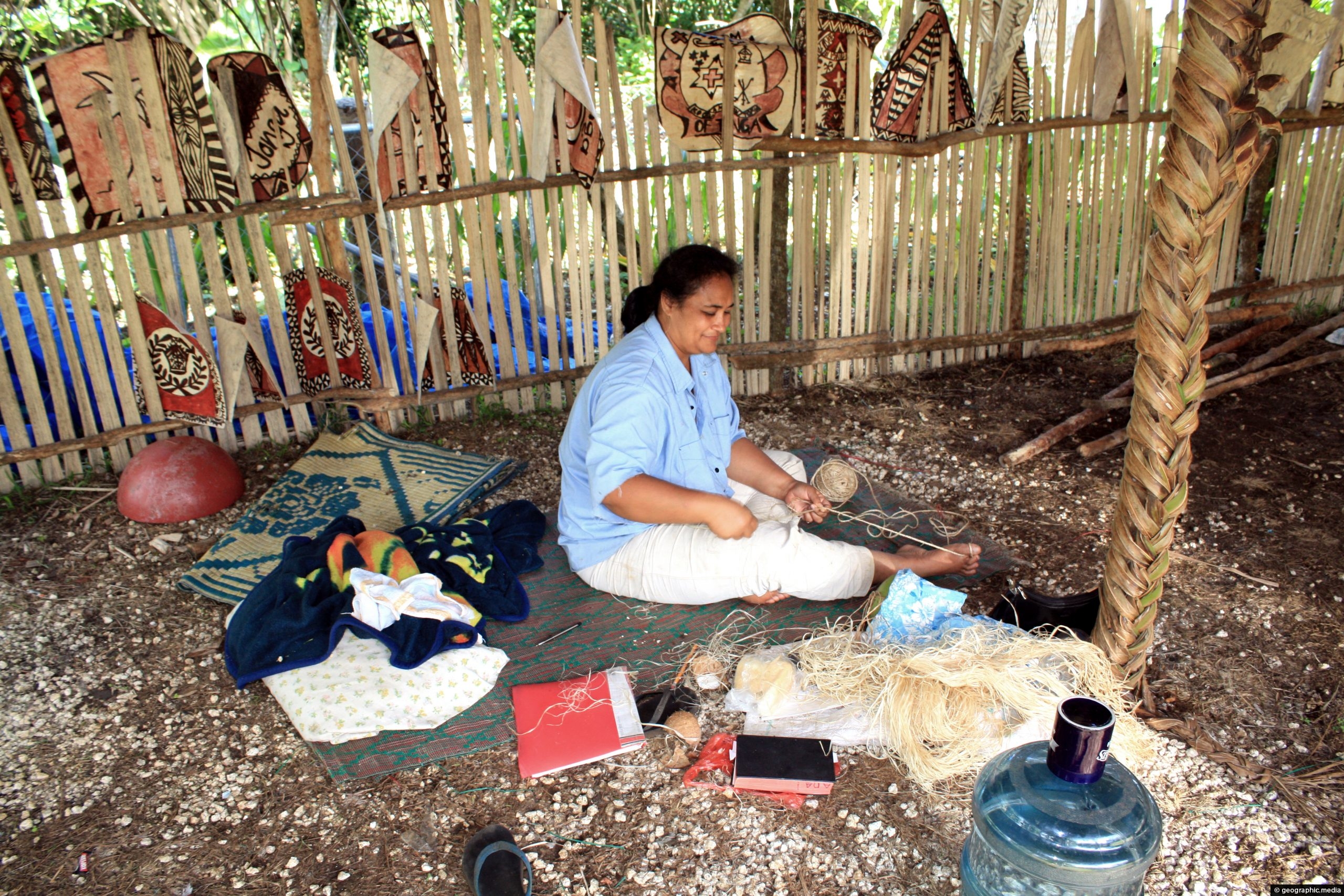
A woman selling hand-made crafts including tapa cloth and art near the entrance to Anahulu Cave. This area is...
Locals swimming a lagoon at Anahulu Beach on Tongatapu Island. In the background you can see the barrier reef...
