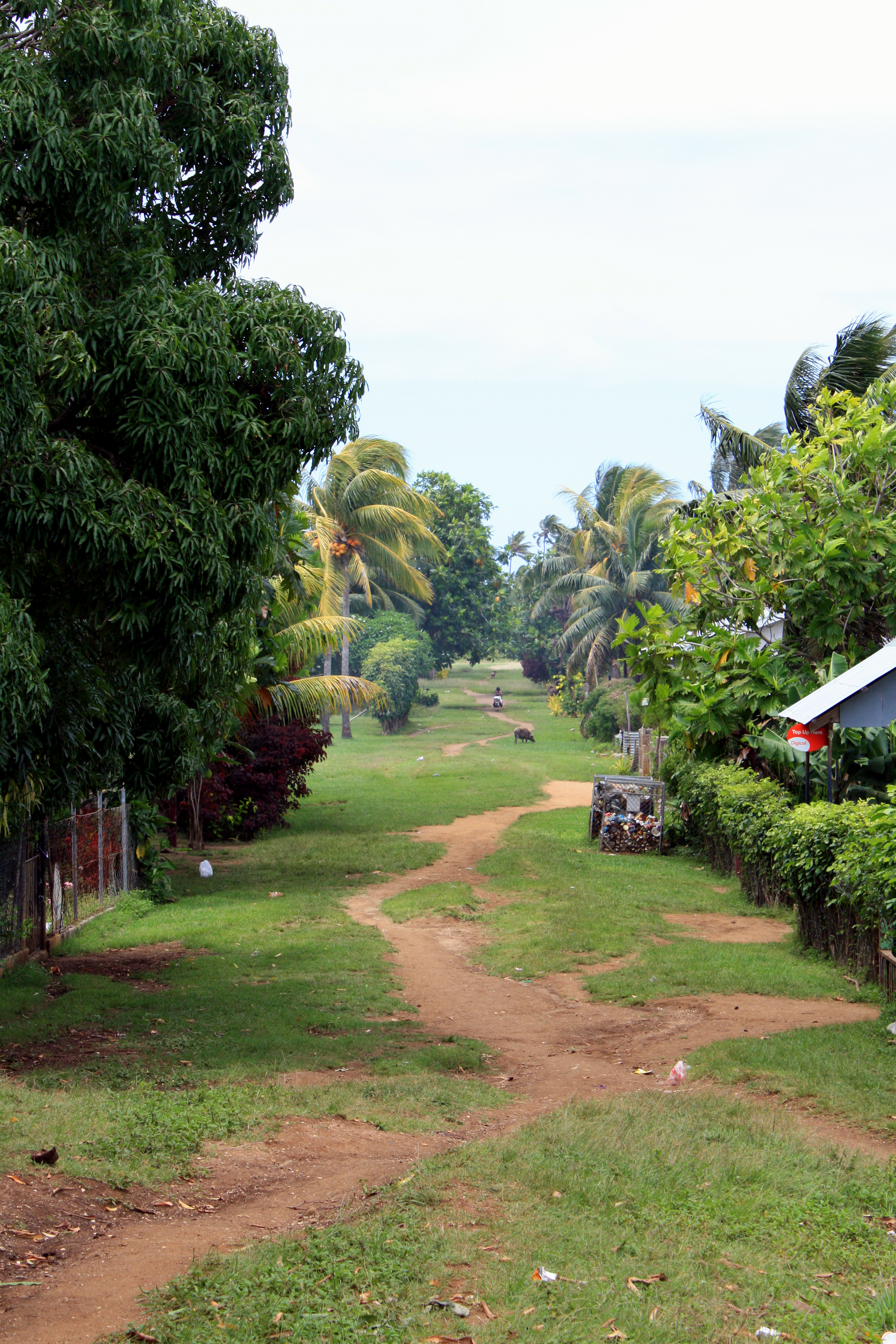
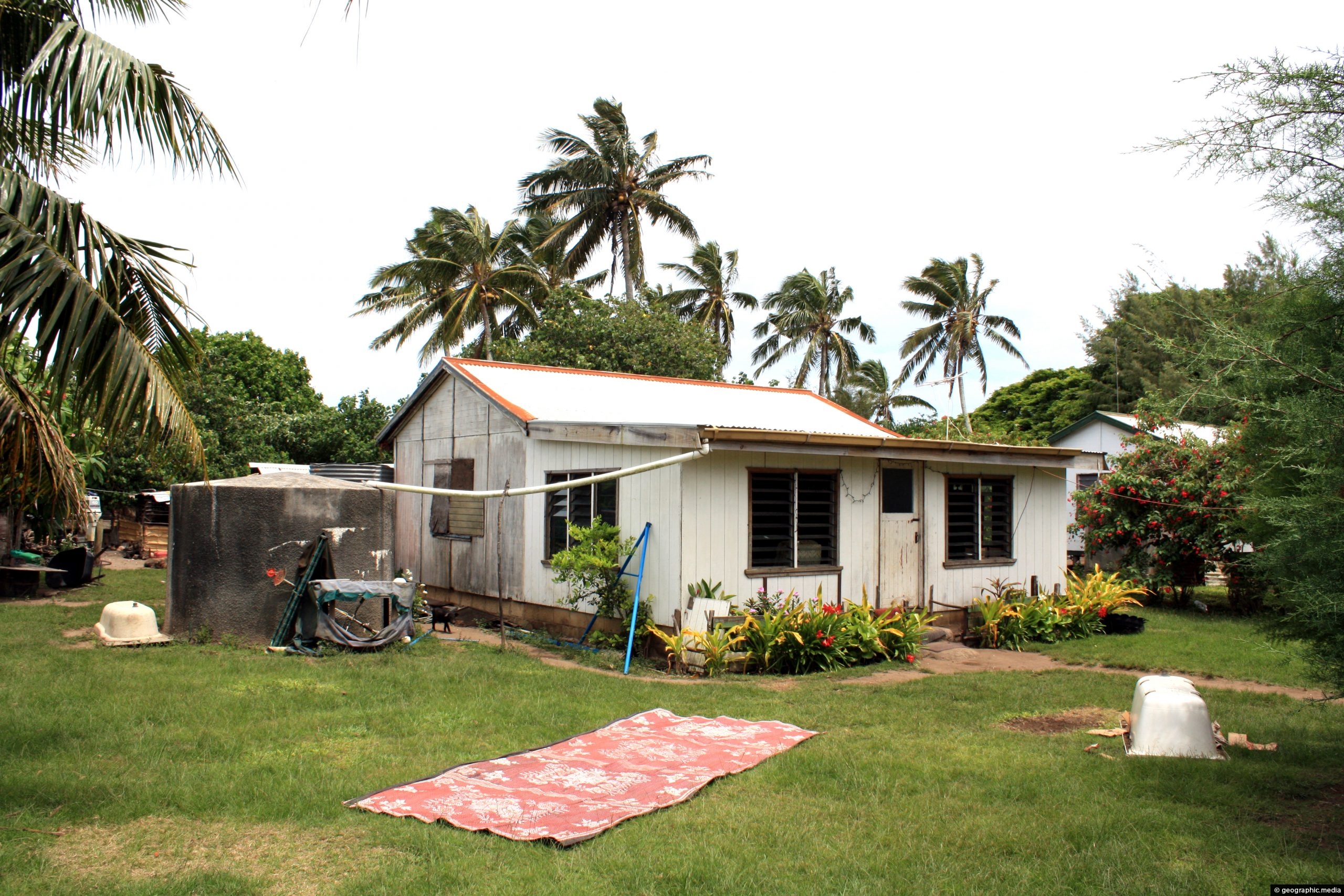
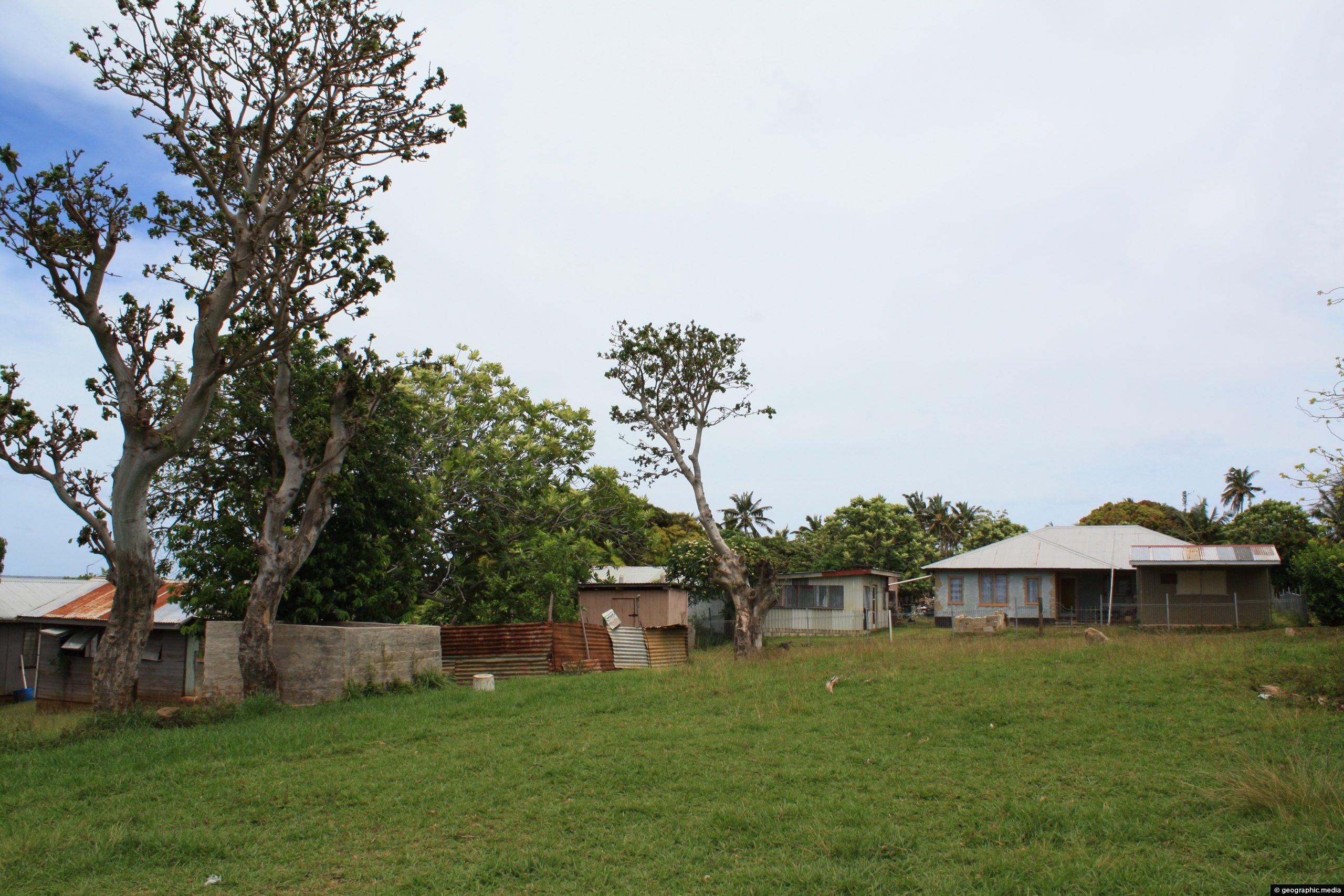
The main street on Atata Island is basically a track through a grassy strip that runs down the middle of the only peninsula on the island.
ALL / Explore Oceania / Explore Tonga / Tonga Photos / Atata Island photos / The main street on Atata Island
All original royalty-free photos, shareable maps, and informative articles.
The main street on Atata Island
Page Views
This post has been viewed 1,014 times
Related Articles
-
Atata Home and Trampoline
Atata Island photos, Culture, Homes, Landscape / Horizontal, Palms
View of a home on Atata Island. The house uses mostly traditional materials like palm leaves on the roof....
-
Wooden Home with a Water Tank on Atata Island
Atata Island photos, Homes, Landscape / Horizontal
View of a wooden home and water tank. Houses on the island often have water tanks to collect rainwater...
-
Fishermen on Atata Island in Tonga
Atata Island photos, Boats, Culture, Landscape / Horizontal, Men, People, Sea
Fishing is a main occupation and a food resource on Atata Island. These fishermen were close to the main...
-
Tourists meeting some locals on Atata Island
Atata Island photos, Children, Culture, Landscape / Horizontal, People, Roads
Young children saying hello to tourists on Atata Island in Tonga. The pathway is actually the main street connecting...
-
Orange sand on Atata Island in Tonga
Atata Island photos, Beaches, Islands, Landscape / Horizontal, Sea
The sand on Atata Island is an unusual orange color. Most other small islands in Tonga are coral cays...
-
Home on Atata Island Tonga
Atata Island photos, Homes, Portrait / Vertical, Trees
A basic home on Atata Island framed by banana trees.
-
Footprints on Atata Beach
Atata Island photos, Beaches, Forests, Islands, Landscape / Horizontal, Sea
No people but footprints on this stretch of Atata Island Beach. This part of the coast requires a bit...
-
Beach portrait on Atata Island
Atata Island photos, Beaches, Forests, Palms, Portrait / Vertical, Sea
Portrait view on a cloudy day of the main beach on Atata Island.
0 Comments
Calendar
M | T | W | T | F | S | S |
---|---|---|---|---|---|---|
1 | 2 | |||||
3 | 4 | 5 | 6 | 7 | 8 | 9 |
10 | 11 | 12 | 13 | 14 | 15 | 16 |
17 | 18 | 19 | 20 | 21 | 22 | 23 |
24 | 25 | 26 | 27 | 28 |
Popular Posts
- Awakening New Zealand video (100)
- Iguazu Falls as seen from Brazil (87)
- Metrocable Medellin (78)
- Pauatahanui Inlet (69)
- Spinnaker Hill in Whitby Porirua (68)
- Spinnaker Hill View (68)
- View from Whitby (68)
- The Devil’s Throat (62)
- Aerial View of Iguazu Falls (61)
- Porirua Harbour & Papakowhai (57)
- Lake Wakatipu (57)
- Salto Rivadavia & Iguassu River (56)
- Lake Tekapo & Lupins (54)
- Nelson View (53)
- Salto Rivadavia Misiones Province (53)
- Cascadas at Iguazu (53)
Subjects
AccommodationAnimalsArchitectureBeachesBirdsBoatsBridgesBuildingsCarsChurchesCitiesCoralCultureExtra Wide HorizontalFlowersForestsHarborsHomesIslandsLakesLandscape / HorizontalMapsMenMonumentsMountainsPalmsParksPeoplePlantsPortrait / VerticalRiversRoadsRuralSeaShopsSkyscrapersSnowSunsetsTownsTrailsTransportTreesVideosVolcanicWaterfalls
Recent Comments
- Lance on Concrete Hut Wainuiomata
- Tony on Concrete Hut Wainuiomata
- DavidJ on Wellington Night Skyline
- Ben on Auckland City Skyline from Westhaven Marina in 1998
- Ben on Auckland Harbour Bridge view