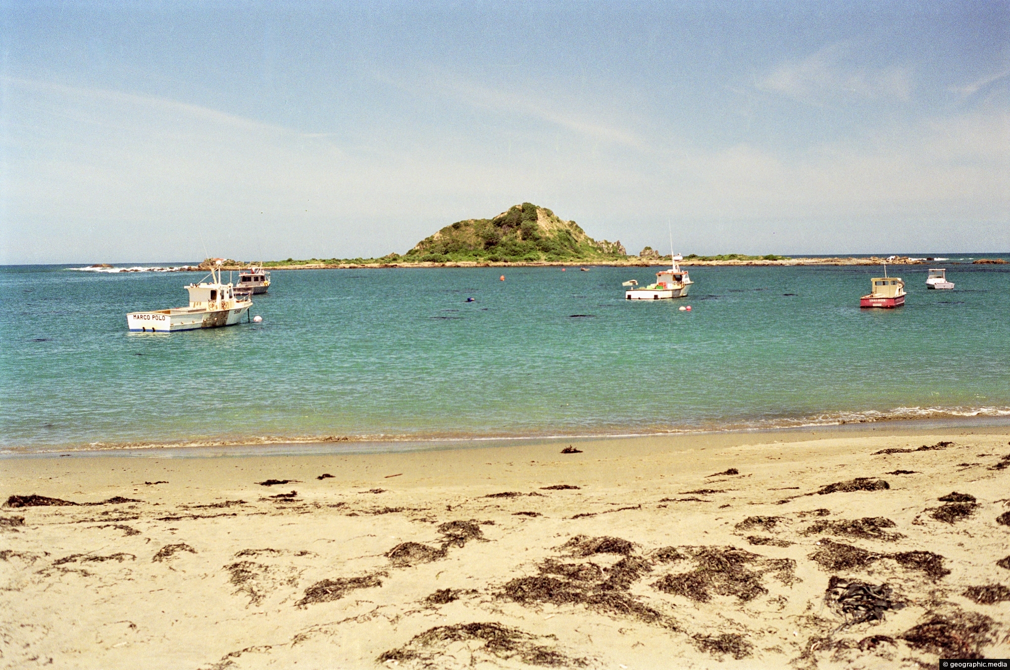
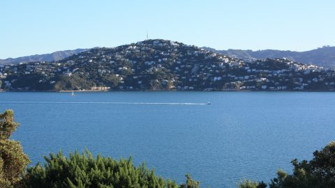
Gazing toward Taputeranga Island in Island Bay, a southern suburb of Wellington, you see the Cook Strait, which separates the North and South islands. This photo was taken in 1989. Back then, the rock pools on the island were full of paua.
ALL / Explore Oceania / Explore New Zealand / New Zealand Photos / Wellington photos / Taputeranga Island at Island Bay
All original royalty-free photos, shareable maps, and informative articles.
Taputeranga Island at Island Bay
Page Views
This post has been viewed 136 times
Related Articles
-
Monterey Pine forest Wellington Harbour
Wellington photos, Forests, Landscape / Horizontal, Sea, Trees
Monterey Pine forest on the slopes around Wellington Harbour. The Monterey Pine (Pinus Radiata) is a pine tree native...
-
Old Government Buildings
Wellington photos, Buildings, Extra Wide Horizontal, Government
Located opposite Parliament, New Zealand’s ex-Government buildings stand proudly within the Government Buildings Historic Reserve. This impressive building, erected...
-
Cable Car Museum & Kelburn Cable Car Terminus
Wellington photos, Buildings, Landscape / Horizontal, Roads
View from Upland Road in Kelburn of the Cable Car Museum and Kelburn Cable Car Terminus. A great lookout...
-
Sky Stadium
Wellington photos, Extra Wide Horizontal, Sport, Stadiums
Sky Stadium, located in Wellington, New Zealand, is a prominent multi-purpose venue renowned for hosting a diverse range of...
-
Wellington from Mt Victoria 1989
Wellington photos, Buildings, Cities, Landscape / Horizontal, Sea, Skyscrapers
Looking at Wellington city and harbor from Mount Victoria, circa 1989. The Overseas Terminal (the wharf) is there as...
-
Scorching Bay in 1989
Wellington photos, Beaches, Landscape / Horizontal, Sea
View of Scorching Bay in the year 1989. The beach is one of the nicest harbor beached in the...
-
Nairnville Park in Khandallah Wellington
Wellington photos, Extra Wide Horizontal, Mountains, Sport
Nairnville Park in Khandallah, Wellington, offers sports fields for football, rugby, and cricket. An artificial turf was added in...
-
Cable Car Area Wellington
Wellington photos, Extra Wide Horizontal, Harbors, Parks, Transport
View of the Cable Car track with the Wellington CBD on an overcast day. In the background, some of...
0 Comments
Calendar
M | T | W | T | F | S | S |
---|---|---|---|---|---|---|
1 | 2 | |||||
3 | 4 | 5 | 6 | 7 | 8 | 9 |
10 | 11 | 12 | 13 | 14 | 15 | 16 |
17 | 18 | 19 | 20 | 21 | 22 | 23 |
24 | 25 | 26 | 27 | 28 |
Popular Posts
- Awakening New Zealand video (100)
- Iguazu Falls as seen from Brazil (87)
- Metrocable Medellin (78)
- Pauatahanui Inlet (69)
- Spinnaker Hill in Whitby Porirua (68)
- Spinnaker Hill View (68)
- View from Whitby (68)
- The Devil’s Throat (62)
- Aerial View of Iguazu Falls (61)
- Porirua Harbour & Papakowhai (57)
- Lake Wakatipu (57)
- Salto Rivadavia & Iguassu River (56)
- Lake Tekapo & Lupins (54)
- Nelson View (53)
- Salto Rivadavia Misiones Province (53)
- Cascadas at Iguazu (53)
Subjects
AccommodationAnimalsArchitectureBeachesBirdsBoatsBridgesBuildingsCarsChurchesCitiesCoralCultureExtra Wide HorizontalFlowersForestsHarborsHomesIslandsLakesLandscape / HorizontalMapsMenMonumentsMountainsPalmsParksPeoplePlantsPortrait / VerticalRiversRoadsRuralSeaShopsSkyscrapersSnowSunsetsTownsTrailsTransportTreesVideosVolcanicWaterfalls
Recent Comments
- Lance on Concrete Hut Wainuiomata
- Tony on Concrete Hut Wainuiomata
- DavidJ on Wellington Night Skyline
- Ben on Auckland City Skyline from Westhaven Marina in 1998
- Ben on Auckland Harbour Bridge view