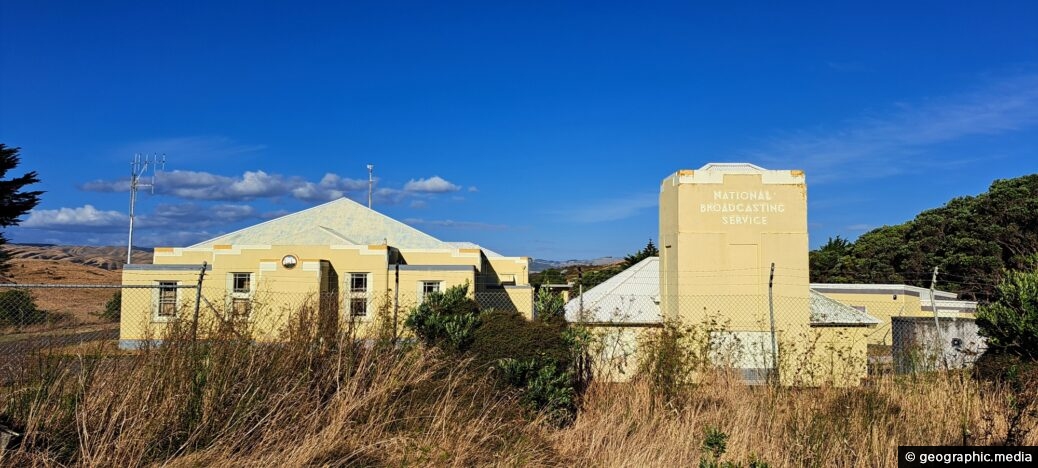
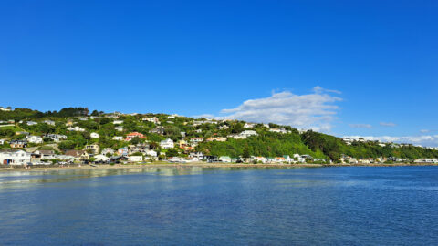
The Titahi Bay Transmitter Station was associated with towers that were used by some radio stations including Radio New Zealand and Newstalk ZB. The building was opened in 1937 as the National Broadcast Service.
ALL / Explore Oceania / Explore New Zealand / New Zealand Photos / Porirua photos / Titahi Bay Transmitter Station
All original royalty-free photos, shareable maps, and informative articles.
Titahi Bay Transmitter Station
Page Views
This post has been viewed 327 times
Related Articles
-
Spinnaker Lookout Loop
Porirua photos, Harbors, Sea
Spinnaker Lookout Loop is a track in Whitby, a residential suburb of Porirua. The walk can be completed in...
-
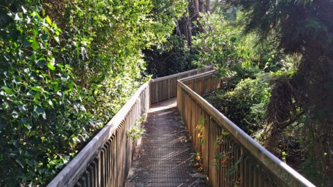
Whitby Walkway Spinnaker Drive
Porirua photos, Autumn, Landscape / Horizontal, Trees, Walk
View of the Whitby Walkway at Spinnaker Drive in Porirua. The location here is close to the beginning or...
-
View of Mana Island
Porirua photos, Islands, Landscape / Horizontal, Sea
Looking at Mana Island from Titahi Bay in Porirua, New Zealand. Mana Island is a wildlife sanctuary, and thus...
-
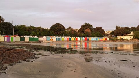
Titahi Bay Boat Sheds
Porirua photos, Boats, Extra Wide Horizontal, Sea
View of the Titahi Bay boat sheds at the northern end of Titahi Bay in Porirua. Boatsheds are used...
-
Raiha Walkway
Porirua photos, Bridges, Forests
Raiha Walkway is a short track that connects Porirua centre to Colonial Knob Walk. The track is also used...
-
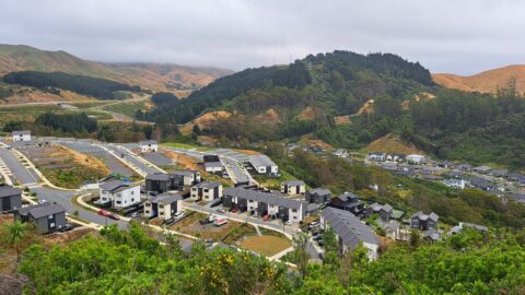
Silverbrooke in Porirua under construction
Porirua photos, Extra Wide Horizontal, Homes, Roads
Observing Silverbrooke in Porirua in January 2024. A significant portion of the land is still lacking housing and development.
-
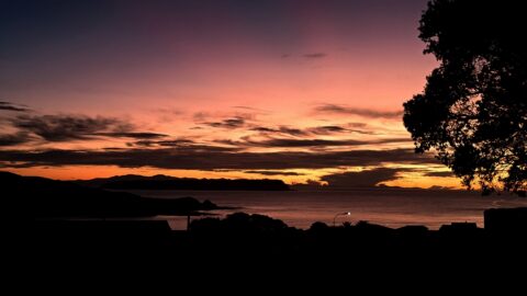
Titahi Bay Sunset
Porirua photos, Extra Wide Horizontal, Sea, Sunsets
Stunning sunset at Titahi Bay in Porirua. The suburb sits on a peninsula between Porirua Harbour and the Tasman...
-
Plimmerton Porirua
Porirua photos, Beaches, Extra Wide Horizontal, Homes, Sea
Looking at the Porirua suburb of Plimmerton, located north of Porirua City. The suburb is a favorite place to...
0 Comments
Calendar
| M | T | W | T | F | S | S |
|---|---|---|---|---|---|---|
| 1 | ||||||
| 2 | 3 | 4 | 5 | 6 | 7 | 8 |
| 9 | 10 | 11 | 12 | 13 | 14 | 15 |
| 16 | 17 | 18 | 19 | 20 | 21 | 22 |
| 23 | 24 | 25 | 26 | 27 | 28 | 29 |
| 30 | ||||||
Popular Posts
- Awakening New Zealand video (100)
- Iguazu Falls as seen from Brazil (87)
- Metrocable Medellin (78)
- Pauatahanui Inlet (69)
- Spinnaker Hill View (68)
- Spinnaker Hill in Whitby Porirua (68)
- View from Whitby (68)
- The Devil’s Throat (62)
- Aerial View of Iguazu Falls (61)
- Porirua Harbour & Papakowhai (57)
- Lake Wakatipu (57)
- Salto Rivadavia & Iguassu River (56)
- Lake Tekapo & Lupins (54)
- Nelson View (53)
- Salto Rivadavia Misiones Province (53)
- Cascadas at Iguazu (53)
Subjects
AccommodationAnimalsArchitectureBeachesBirdsBoatsBridgesBuildingsCarsChurchesCitiesCoralCultureExtra Wide HorizontalFlowersForestsHarborsHomesIslandsLakesLandscape / HorizontalMapsMenMonumentsMountainsPalmsParksPeoplePlantsPortrait / VerticalRiversRoadsRuralSeaShopsSkyscrapersSnowSunsetsTownsTrailsTransportTreesVideosVolcanicWaterfalls
Recent Comments
- Lance on Concrete Hut Wainuiomata
- Tony on Concrete Hut Wainuiomata
- DavidJ on Wellington Night Skyline
- Ben on Auckland City Skyline from Westhaven Marina in 1998
- Ben on Auckland Harbour Bridge view

