
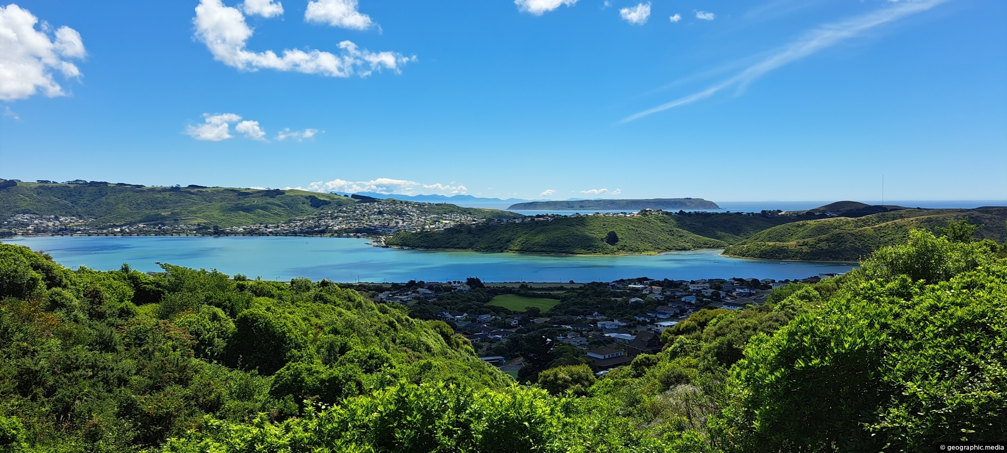
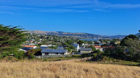
View of Porirua Harbour with Mana Island visible further out in the Tasman Sea. The vantage point is located in the suburb of Papakowhai.
Click Jigshare icon to turn the image into a jigsaw. Or click on photo to download or view full screen image.

