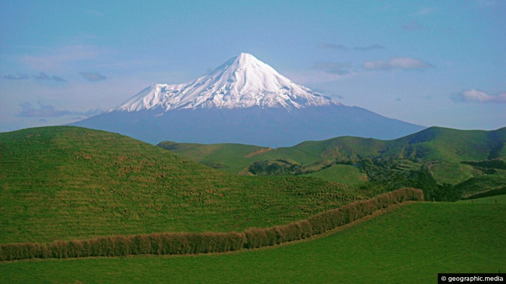
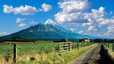
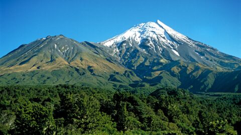
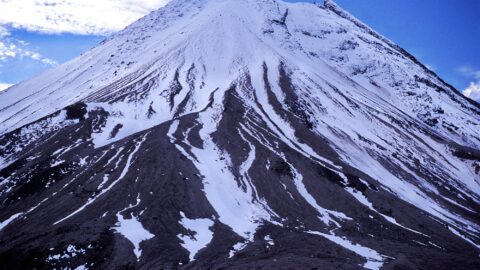
Mount Taranaki, also known as Mount Egmont, is an active stratovolcano known for its symmetrical cone shape and stunning rural landscapes. The extra peak to the left called Fanthams Peak / Panitahi breaks the symmetry somewhat when viewed at a certain angle.
Mt Taranaki View
Page Views
This post has been viewed 325 times
Related Articles
-
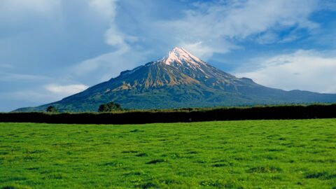
Taranaki Farmland
Mt Taranaki photos, Landscape / Horizontal, Mountains, Rural, Volcanic
Mt Taranaki with surrounding farmland. Taranaki is a rich dairy farming region thanks in part to Mt Taranaki. The...
-
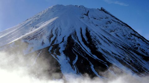
Mt Taranaki Peak
Mt Taranaki photos, Landscape / Horizontal, Mountains, Snow, Volcanic
The peak of Mount Taranaki as seen from neighbouring Fanthams Peak. The walk up Fanthams Peak can be quite...
-
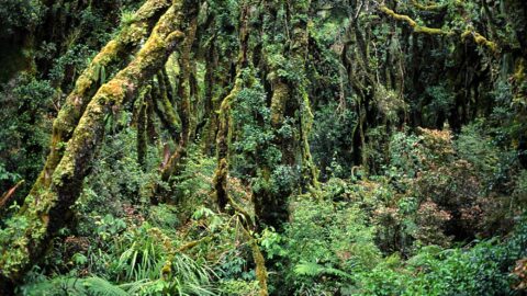
Egmont National Park Rainforest
Mt Taranaki photos, Forests, Landscape / Horizontal
Rainforest found on the lower inclines of Mount Taranaki within Egmont National Park owes its lushness to the copious...
-
Mt Taranaki and Farmland
Mt Taranaki photos, Landscape / Horizontal, Mountains, Rural, Volcanic
View of Mt Taranaki from a Taranaki farm. The region is mostly rural offering stunning views of the volcanic...
-
Taranaki National Park
Mt Taranaki photos, Forests, Landscape / Horizontal, Mountains, Snow, Volcanic
View of Taranaki National Park showing the main peak of Mt Taranaki, adjoining Fanthams Peak, and temperate rainforest that...
-
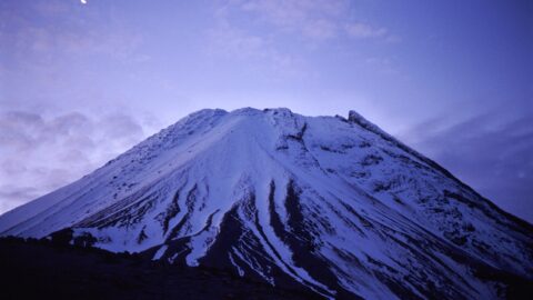
Mt Taranaki & Crescent Moon
Mt Taranaki photos, Landscape / Horizontal, Mountains, Snow, Volcanic
Looking at the peak of the top 500 meters of Mount Taranaki with a crescent moon in the sky...
-
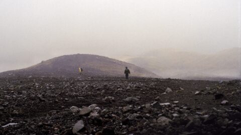
Fanthams Peak
Mt Taranaki photos, Landscape / Horizontal, Mountains, Snow, Volcanic
Walking atop Fanthams Peak in Taranaki toward Syme Hut. The low cloud hides the neighboring peak of Mt Taranaki.
-
Mount Taranaki Peak
Mt Taranaki photos, Landscape / Horizontal, Mountains, Snow, Volcanic
Looking at the top 500 meters of Mt Taranaki as seen from Fanthams Peak which is 1966 meters above...
0 Comments
Calendar
| M | T | W | T | F | S | S |
|---|---|---|---|---|---|---|
| 1 | 2 | 3 | 4 | |||
| 5 | 6 | 7 | 8 | 9 | 10 | 11 |
| 12 | 13 | 14 | 15 | 16 | 17 | 18 |
| 19 | 20 | 21 | 22 | 23 | 24 | 25 |
| 26 | 27 | 28 | 29 | 30 | 31 | |
Popular Posts
- Awakening New Zealand video (100)
- Iguazu Falls as seen from Brazil (87)
- Metrocable Medellin (78)
- Pauatahanui Inlet (69)
- Spinnaker Hill in Whitby Porirua (68)
- Spinnaker Hill View (68)
- View from Whitby (68)
- The Devil’s Throat (62)
- Aerial View of Iguazu Falls (61)
- Porirua Harbour & Papakowhai (57)
- Lake Wakatipu (57)
- Salto Rivadavia & Iguassu River (56)
- Lake Tekapo & Lupins (54)
- Nelson View (53)
- Salto Rivadavia Misiones Province (53)
- Cascadas at Iguazu (53)
Subjects
AccommodationAnimalsArchitectureBeachesBirdsBoatsBridgesBuildingsCarsChurchesCitiesCoralCultureExtra Wide HorizontalFlowersForestsHarborsHomesIslandsLakesLandscape / HorizontalMapsMenMonumentsMountainsPalmsParksPeoplePlantsPortrait / VerticalRiversRoadsRuralSeaShopsSkyscrapersSnowSunsetsTownsTrailsTransportTreesVideosVolcanicWaterfalls
Recent Comments
- Lance on Concrete Hut Wainuiomata
- Tony on Concrete Hut Wainuiomata
- DavidJ on Wellington Night Skyline
- Ben on Auckland City Skyline from Westhaven Marina in 1998
- Ben on Auckland Harbour Bridge view

