View from State Highway 4 of Mount Ruapehu in New Zealand’s Tongariro National Park.

Click Jigshare icon to turn the image into a jigsaw. Or click on photo to download or view full screen image.

View from State Highway 4 of Mount Ruapehu in New Zealand’s Tongariro National Park.
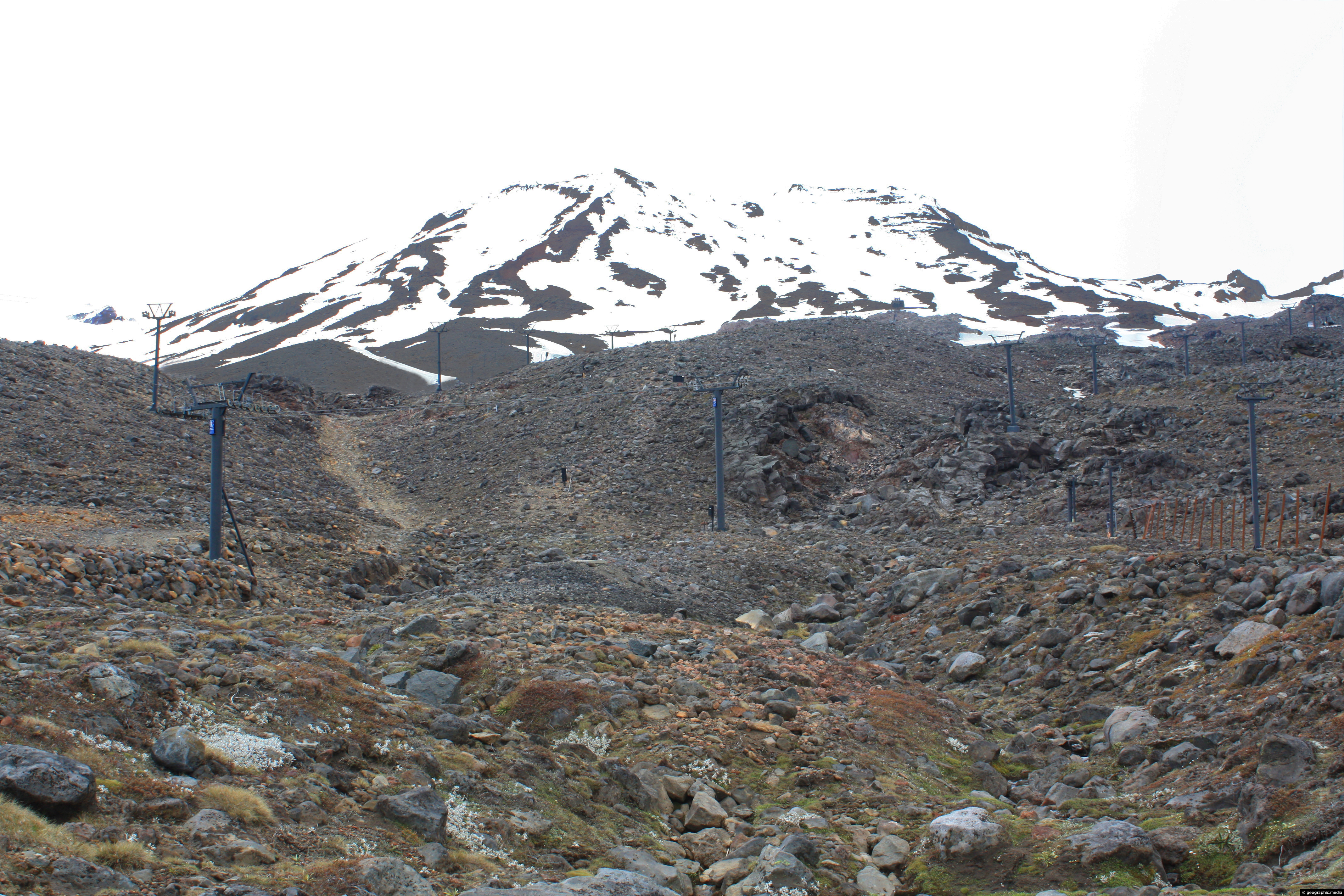
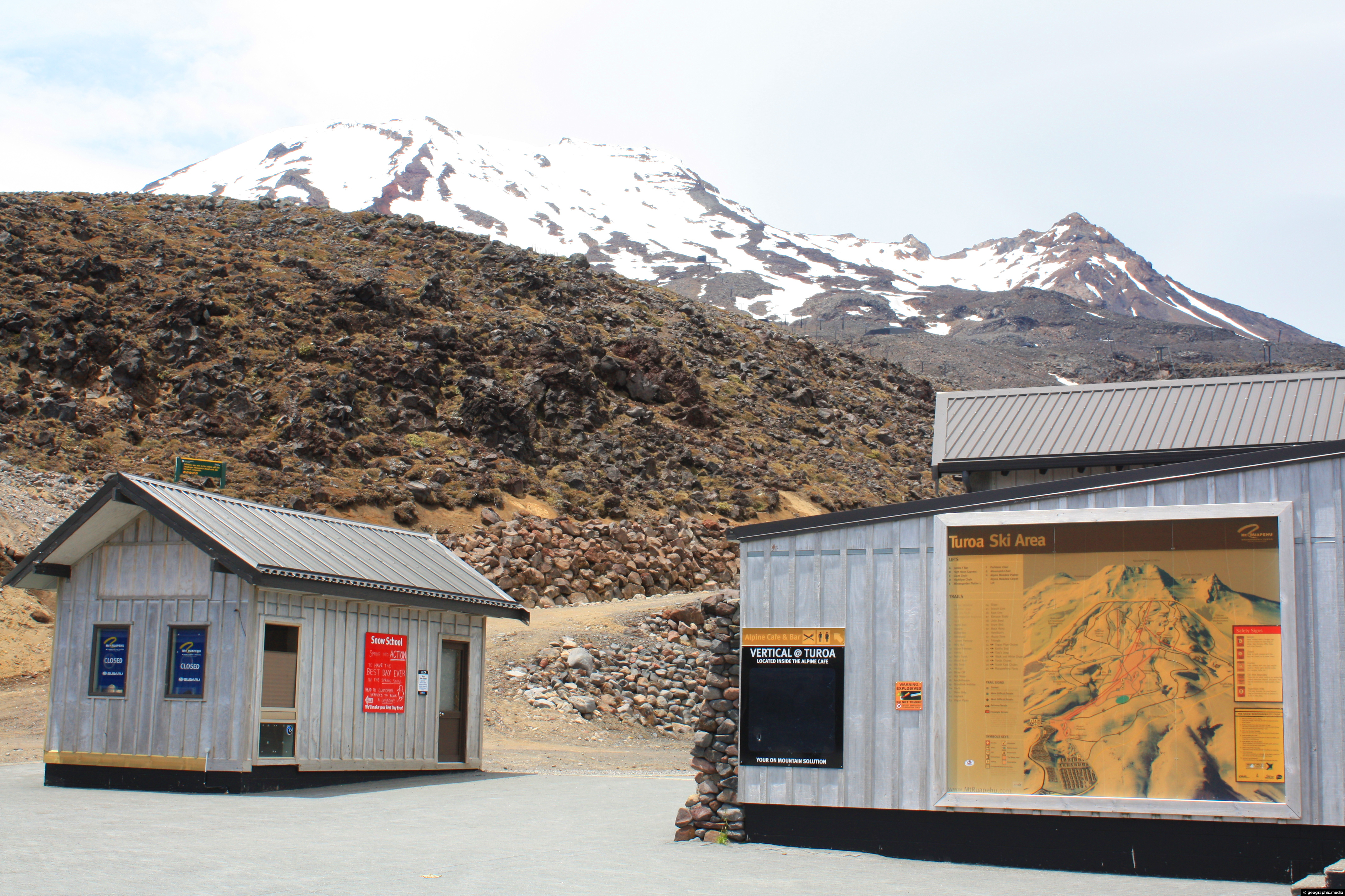
View of Turoa Ski Field outside of the ski season. You can see ski lifts surrounded by snow, but...
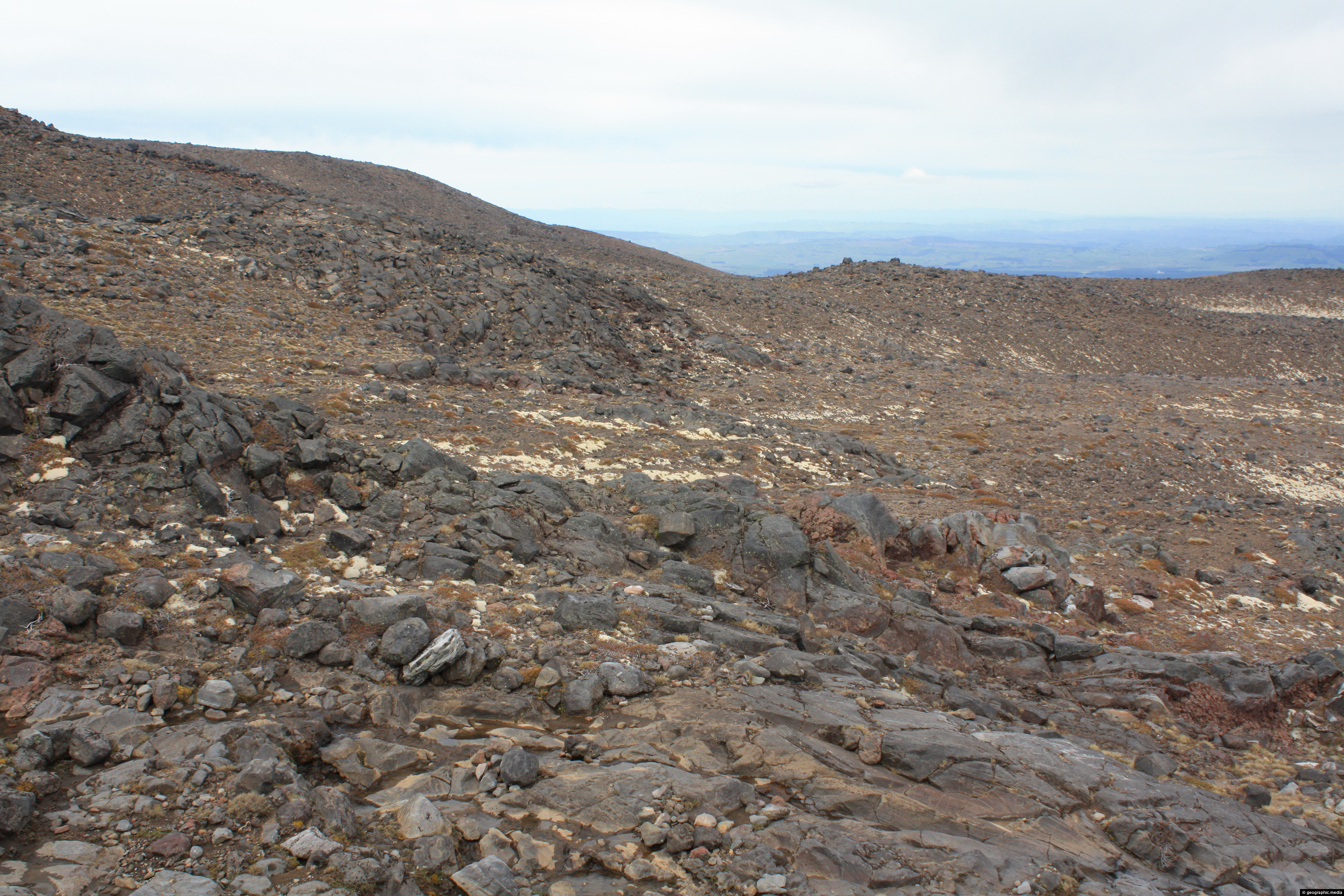
Mt Ruapehu in New Zealand is a volcano that still erupts from time to time. It’s slopes are made...
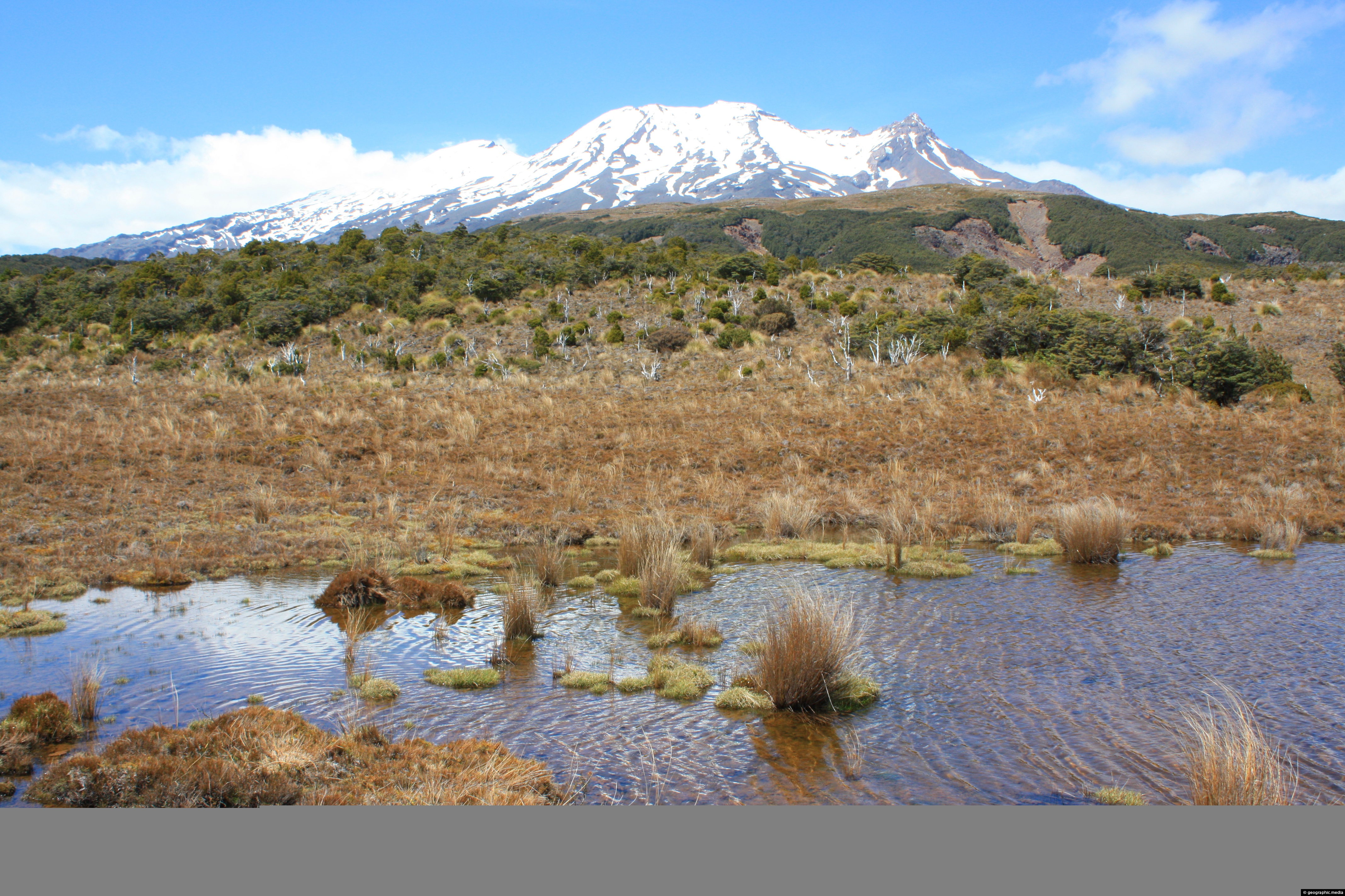
View of Mt Ruapehu’s southern face from an open area of tussock on the Waitonga Falls Walk.
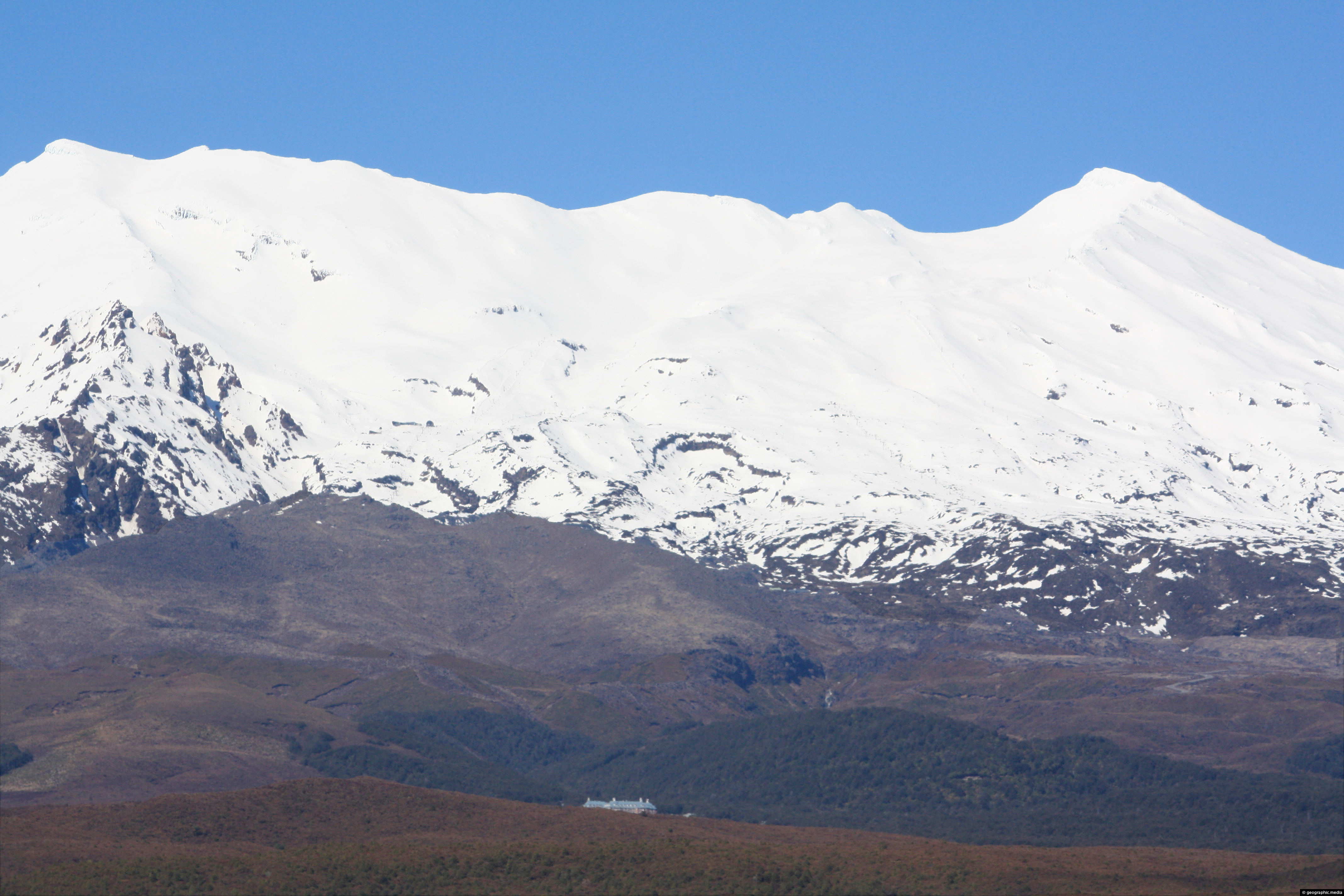
View of Mount Ruapehu with the Chateau just visible. The Chateau Tongariro Hotel as it is known is a...
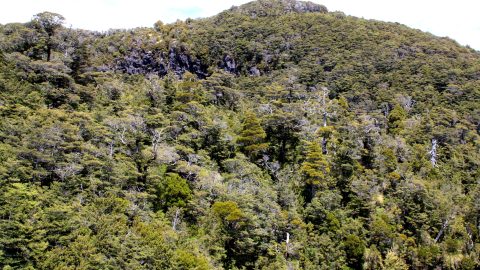
A tract of Beech Forest on the lower slopes of Mount Ruapehu, a volcano in New Zealand.
View of Ohakune Mountain Road in New Zealand. The road connects the town of Ohakune with Turoa Ski Field...
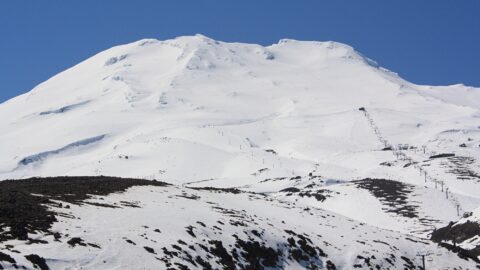
Winter snow has receded and the ski season ended at Turoa Ski Field in New Zealand.
