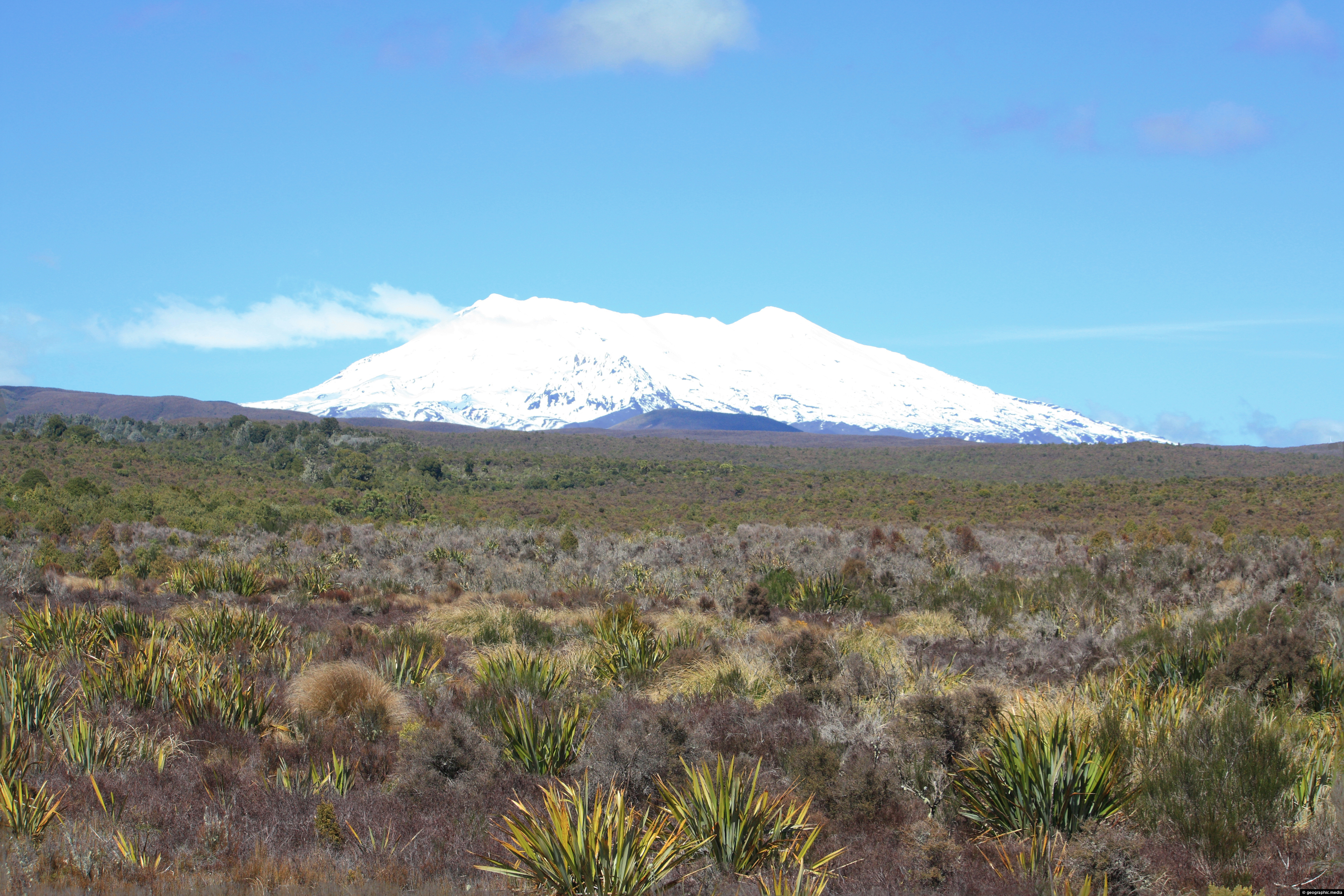
View from State Highway 4 of Mount Ruapehu in New Zealand’s Tongariro National Park.

Click Jigshare icon to turn the image into a jigsaw. Or click on photo to download or view full screen image.

View from State Highway 4 of Mount Ruapehu in New Zealand’s Tongariro National Park.
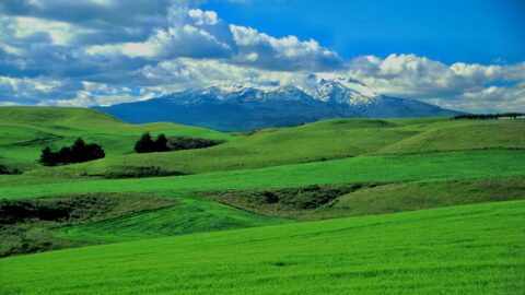
Lush green farmland at the foot of Mount Ruapehu in the central North Island. The fertile farmland is possible...
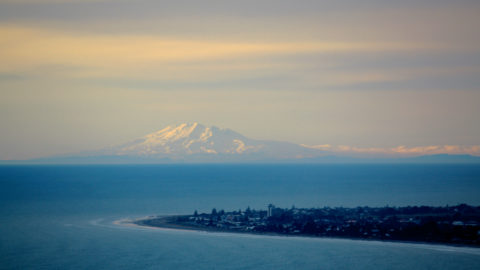
On rare occasions, you can see Mount Ruapehu which is 200km away from the 237 meter high Paekakariki Hill...
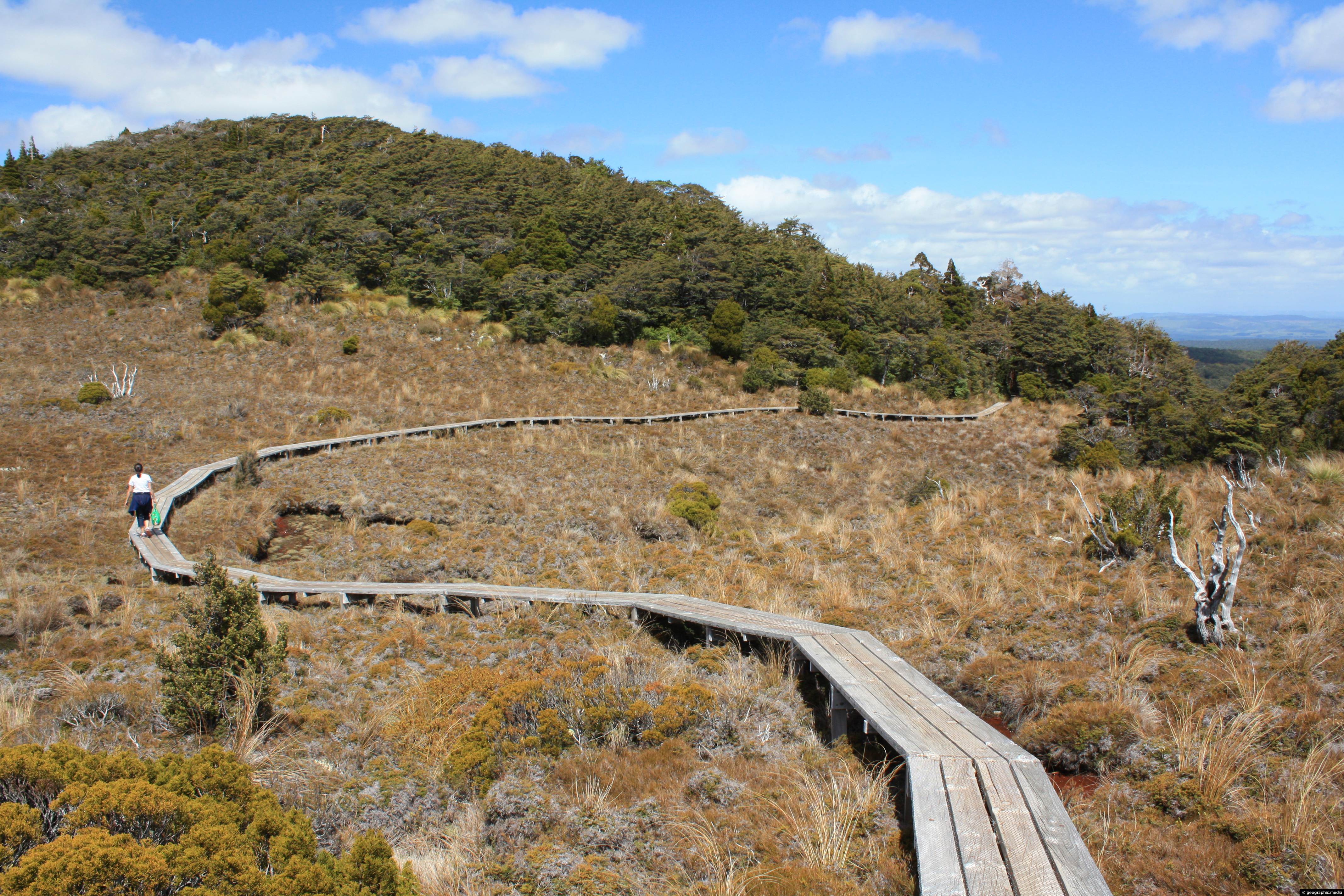
This section of Waitonga Falls Track uses an extensive boardwalk over an open area consisting of tussock.
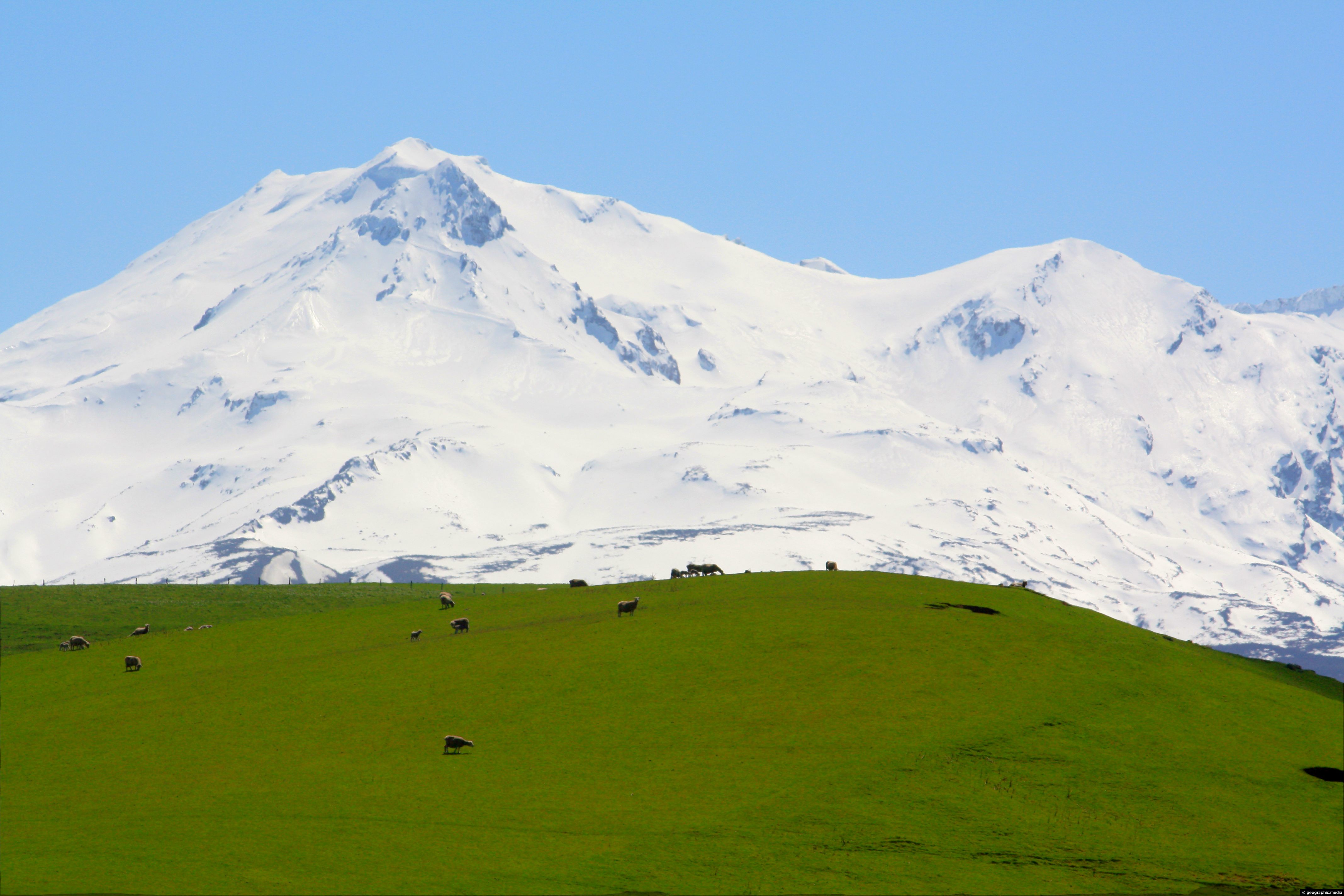
Two lambs bathing in the sun on lush pasture land in New Zealand’s Central Plateau area near Mount Ruapehu.
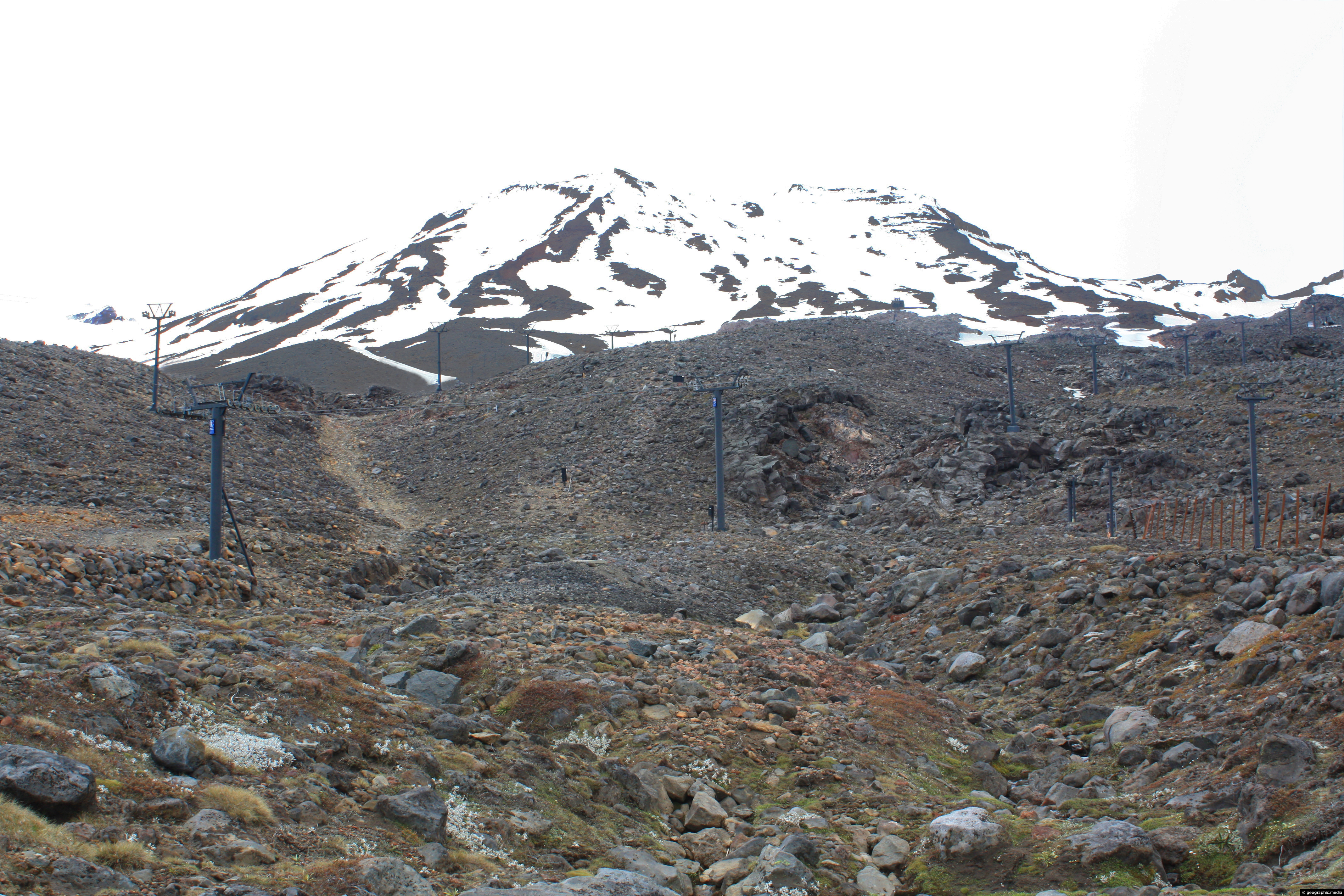
Mt Ruapehu in New Zealand is a volcano that still erupts from time to time. It’s slopes are made...
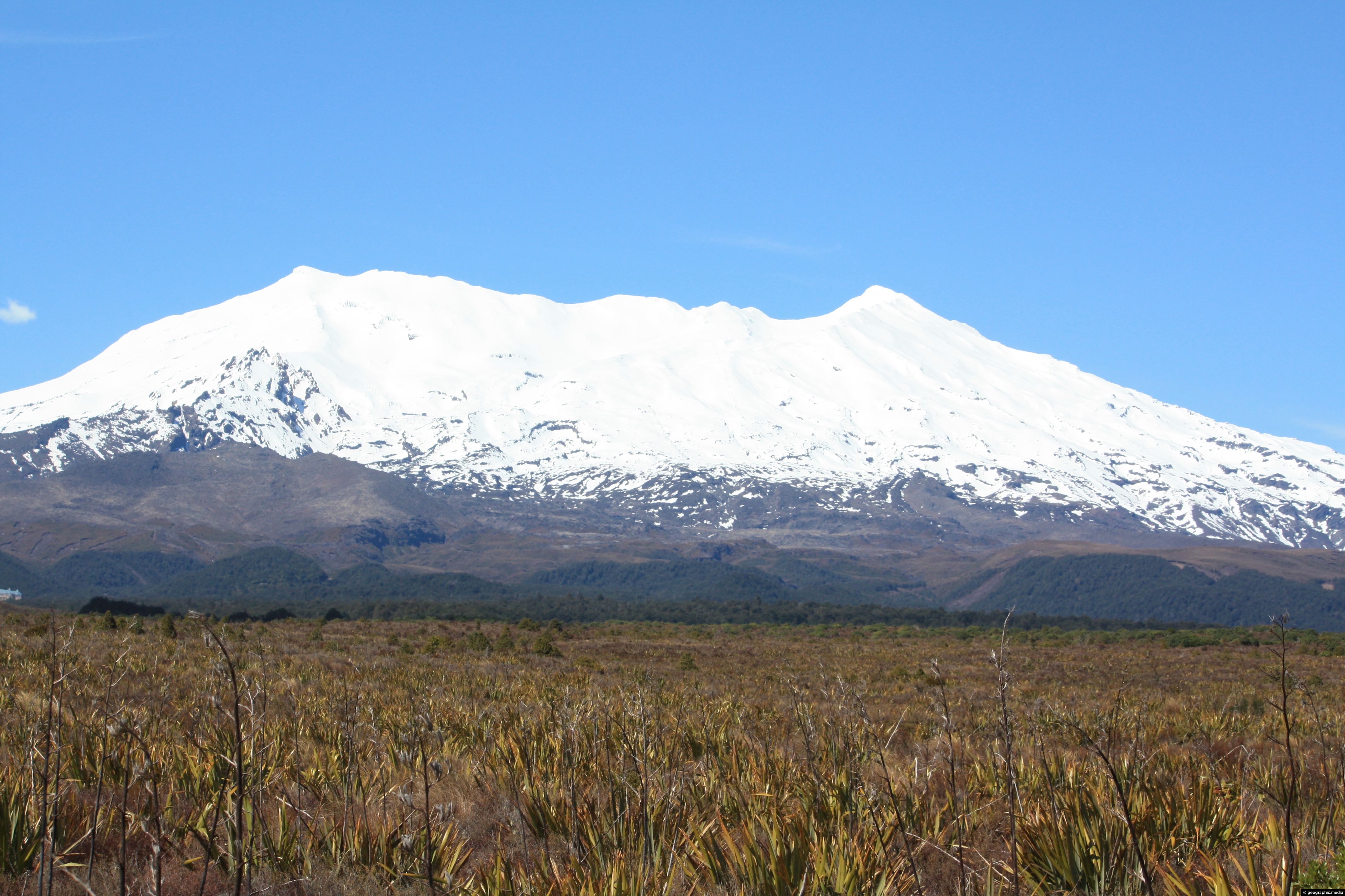
View of a snow capped Mt Ruapheu rising out of the Central Plateau are of New Zealand’s North Island.

