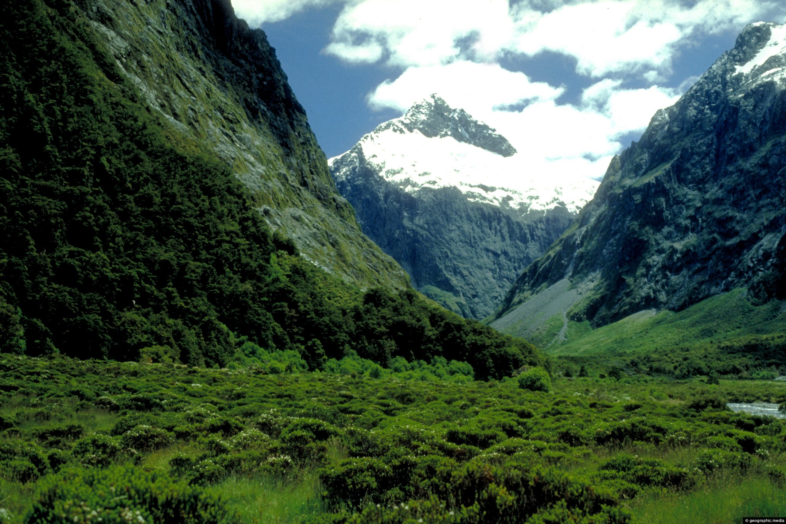
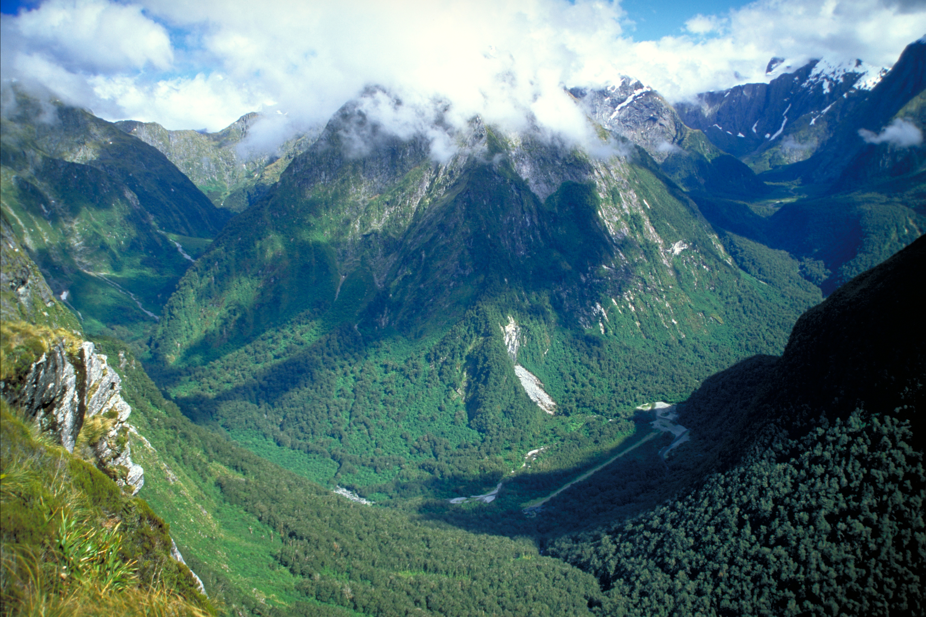
Fiordland has deep mountainous landscapes and thick forest cover. Pictured is cloud shrouding a mountain peak as seen from Mackinnon Pass.
Click image for fullscreen.

Fiordland has deep mountainous landscapes and thick forest cover. Pictured is cloud shrouding a mountain peak as seen from Mackinnon Pass.
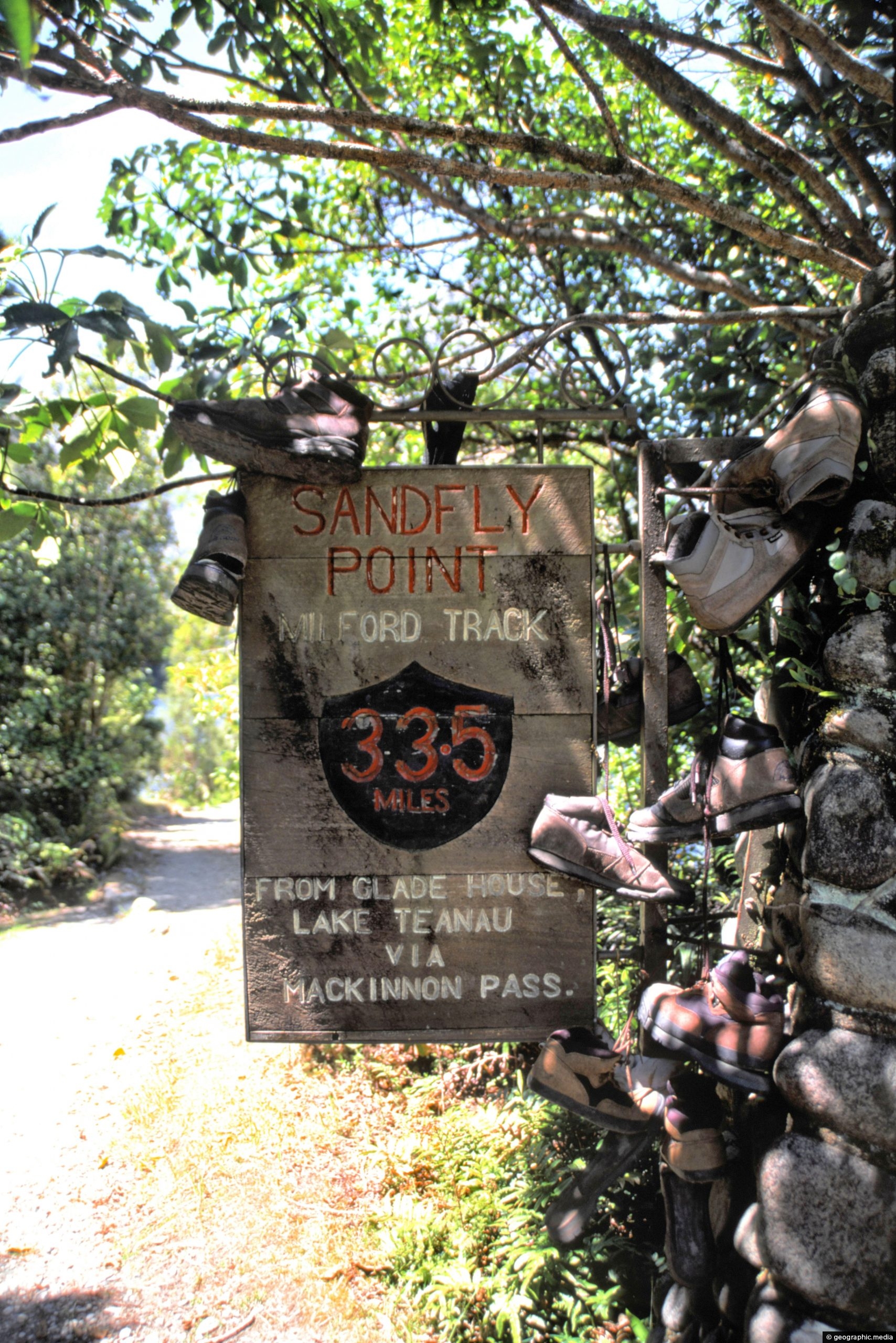
Sign at Sandfly Point signifying the end of the Milford Track. The sign is decorated with discarded hiking boots....
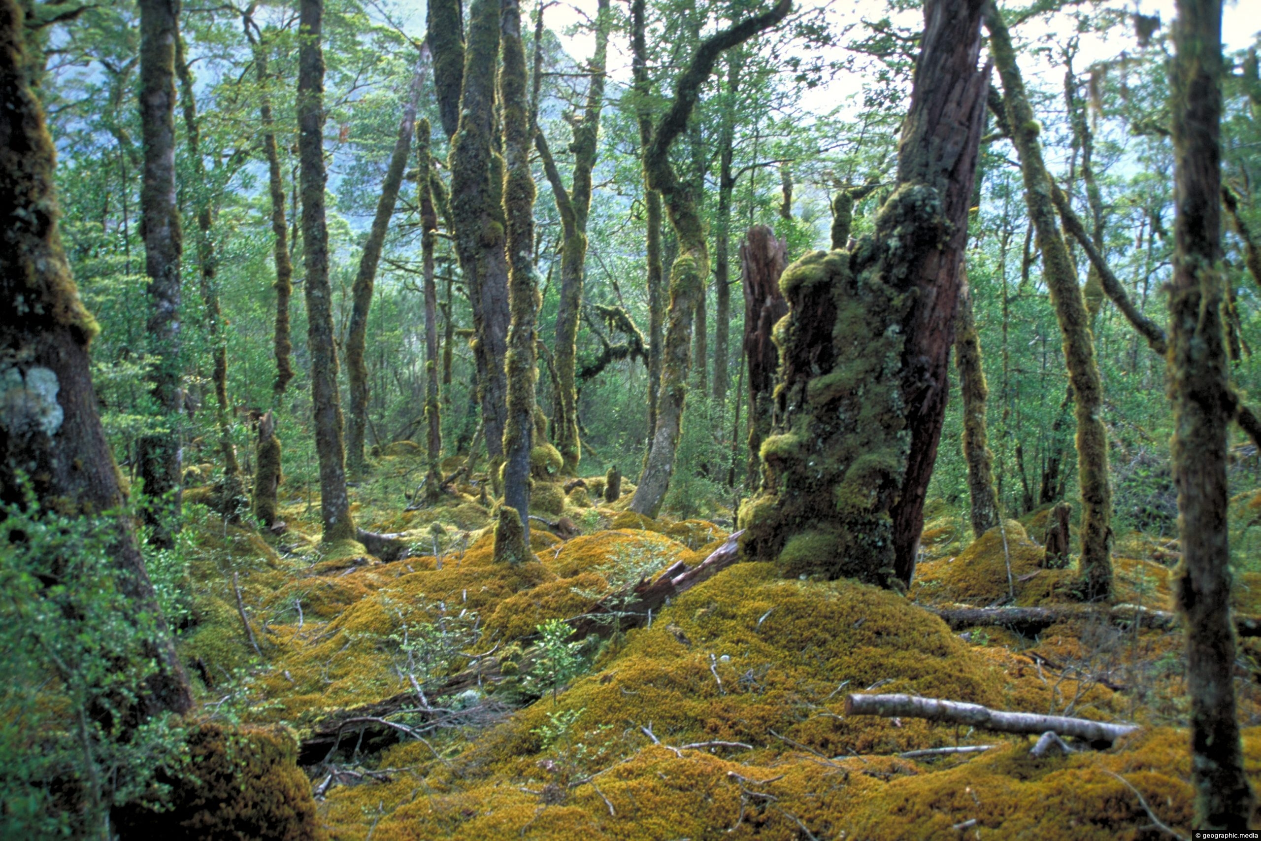
A view of lush beech forest in Fiordland National Park, New Zealand. Due to high rainfall here, moss literally...
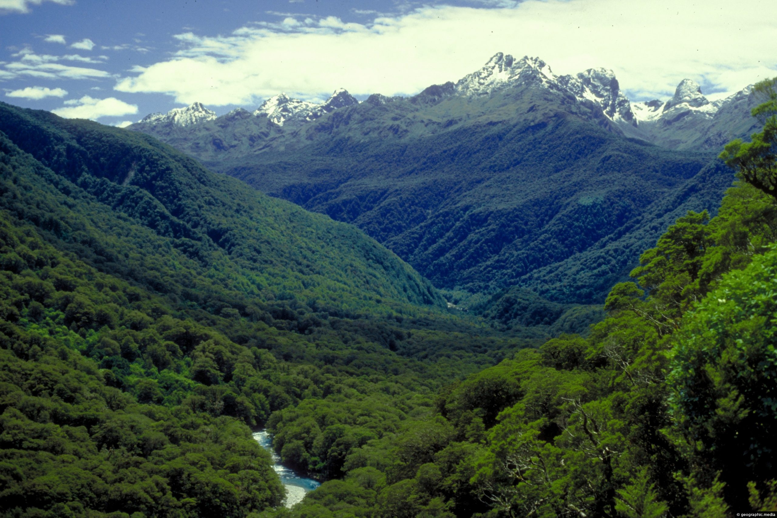
View of Hollyford Valley in Fiordland National Park in New Zealand. The Hollyford River runs through this valley and...
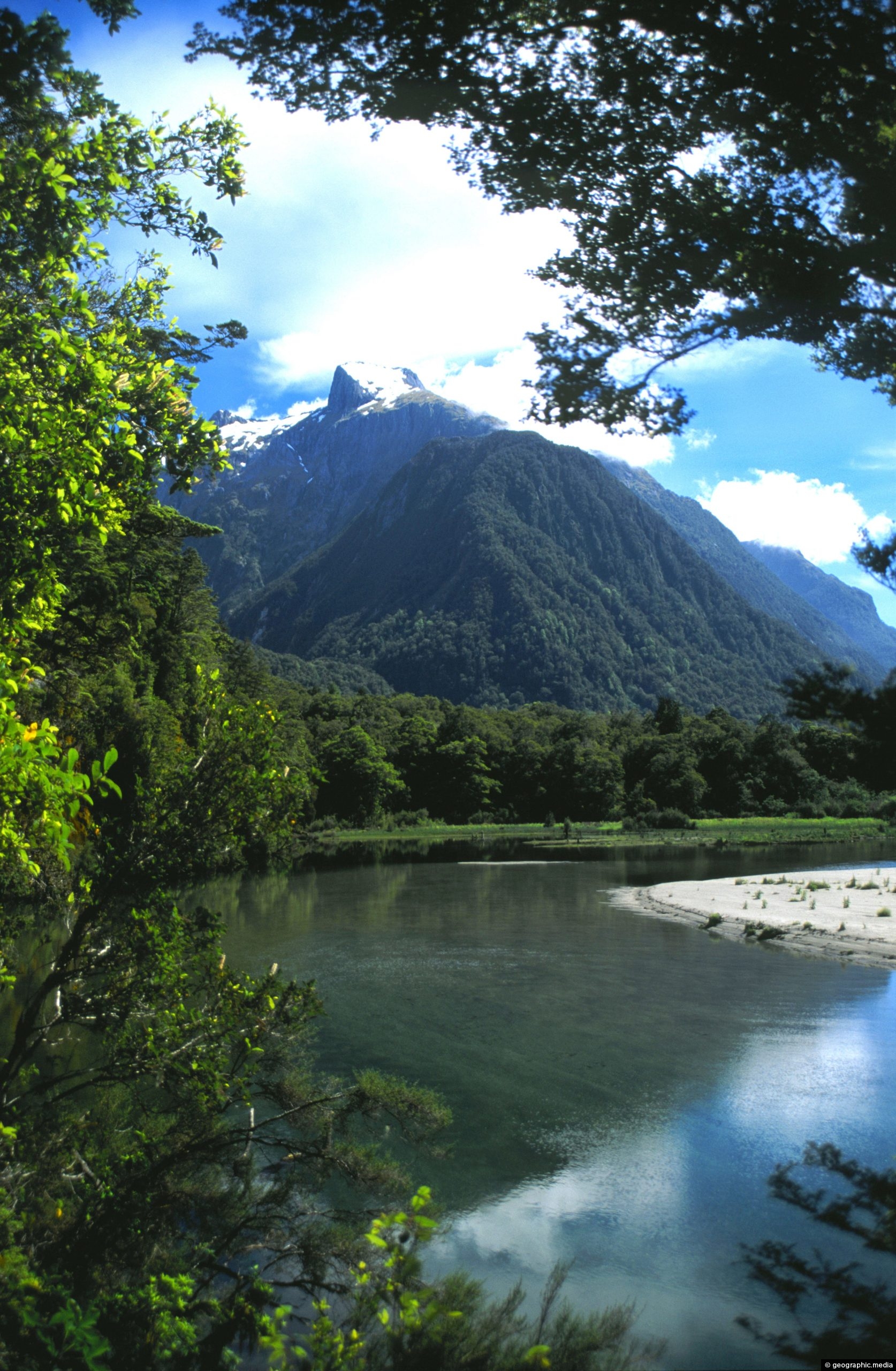
View of Arthur River from the Milford Track in New Zealand. This river is sourced from snow melt and...
Mount Talbot with Mt Crosscut behind comes into view when traveling to Milford Sound.
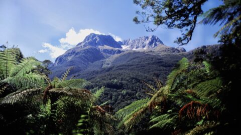
Looking through the canopy of a forest in Fiordland National Park New Zealand toward a high mountain peak.
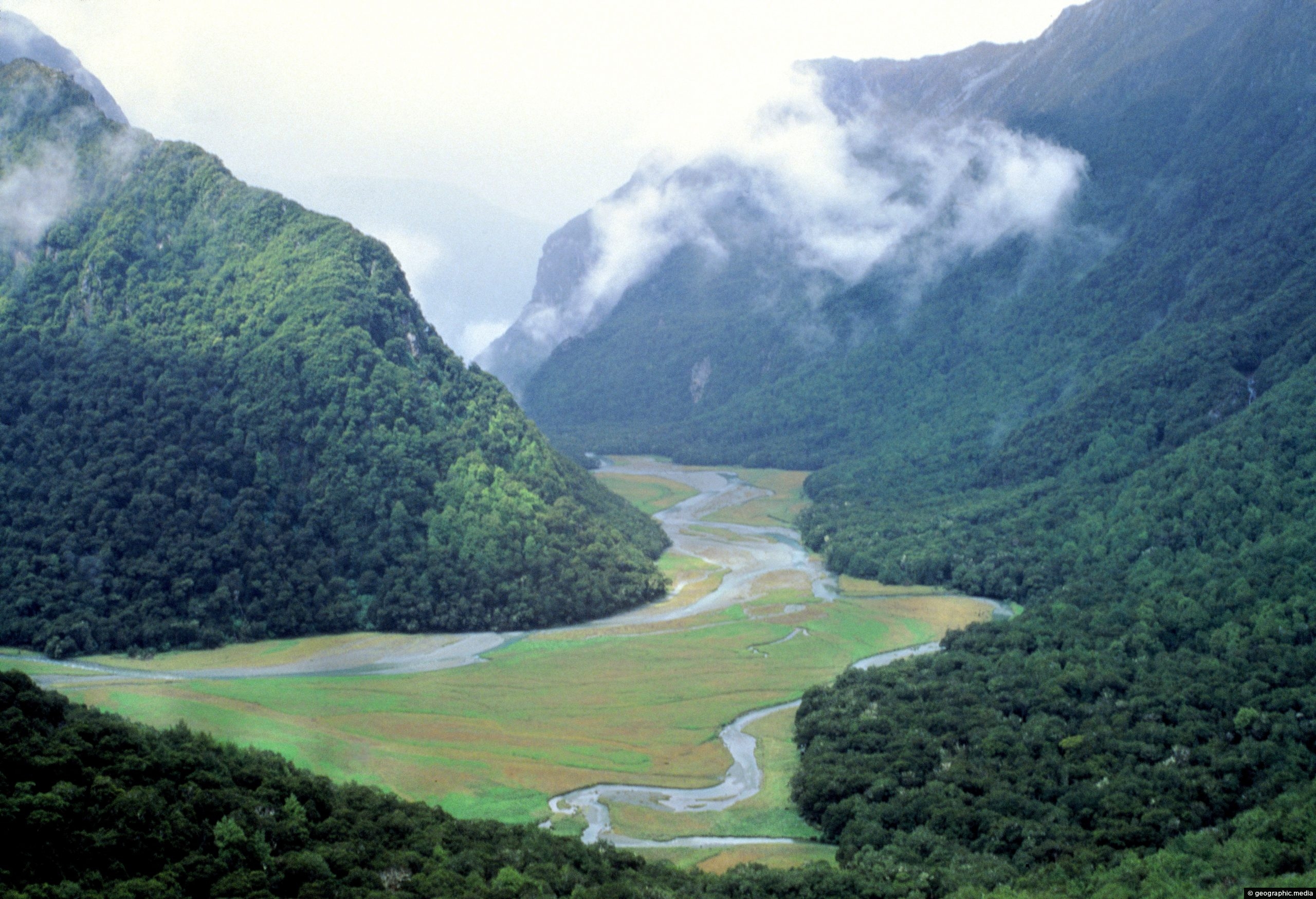
View of Routeburn Valley in New Zealand’s Fiordland National Park. This valley is part of the world-renown Routeburn Track...
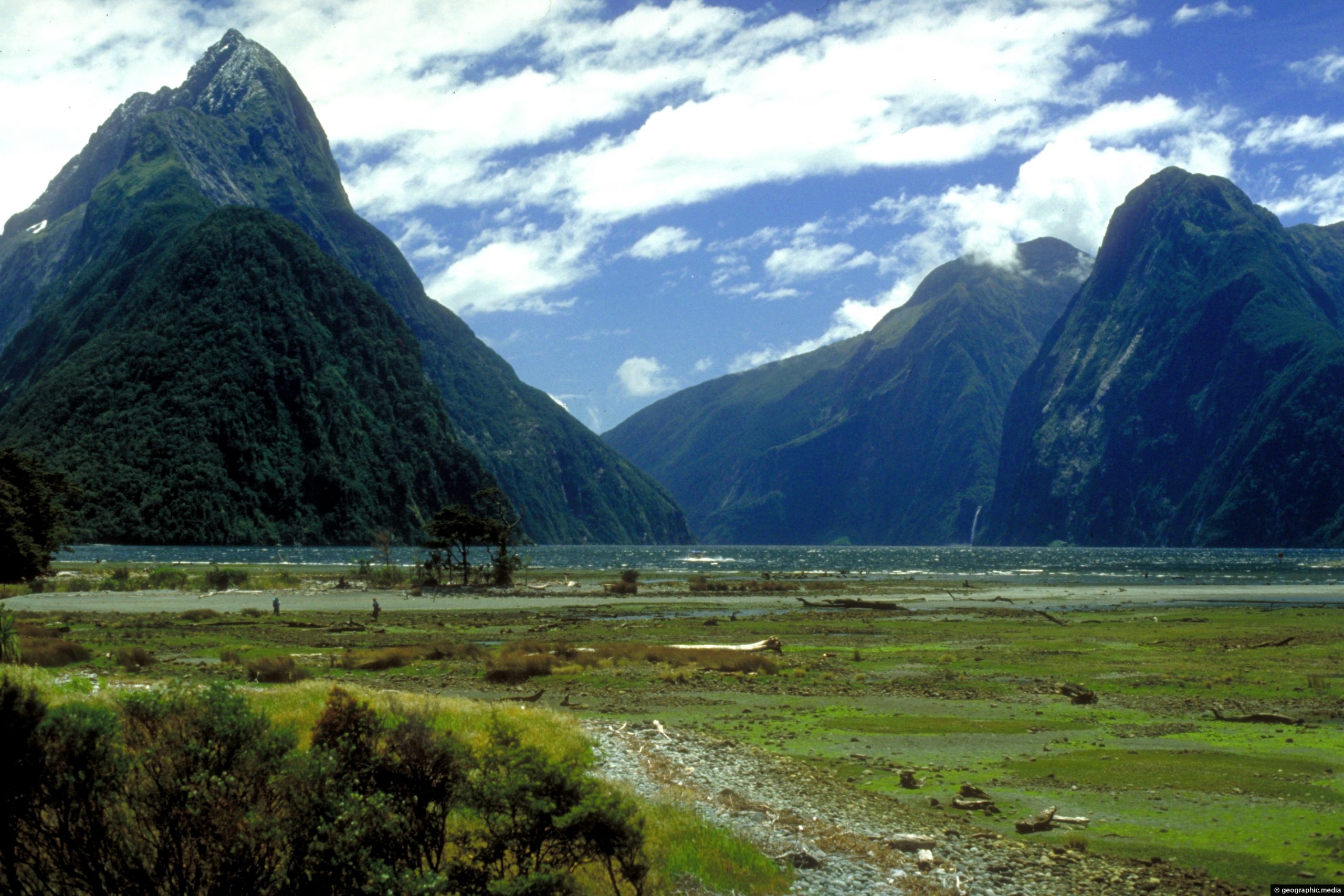
Milford Sound as seen from the coastline near the car park. In view is Mitre Peak, the sea, and...