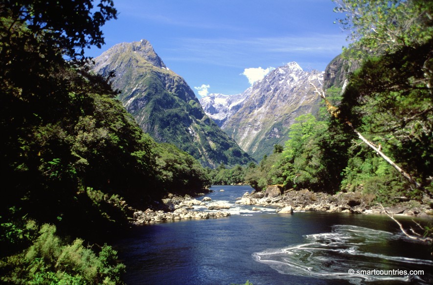
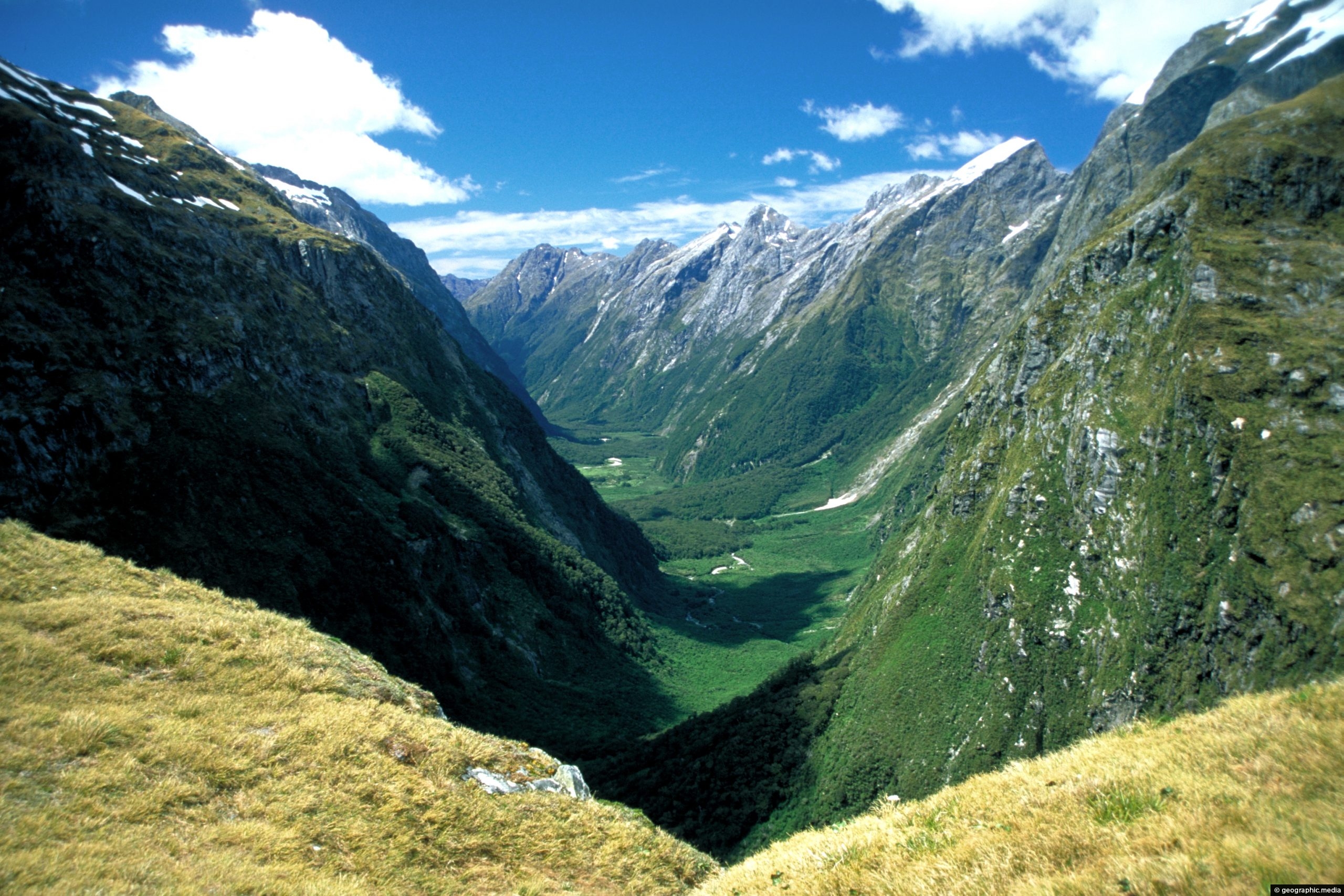
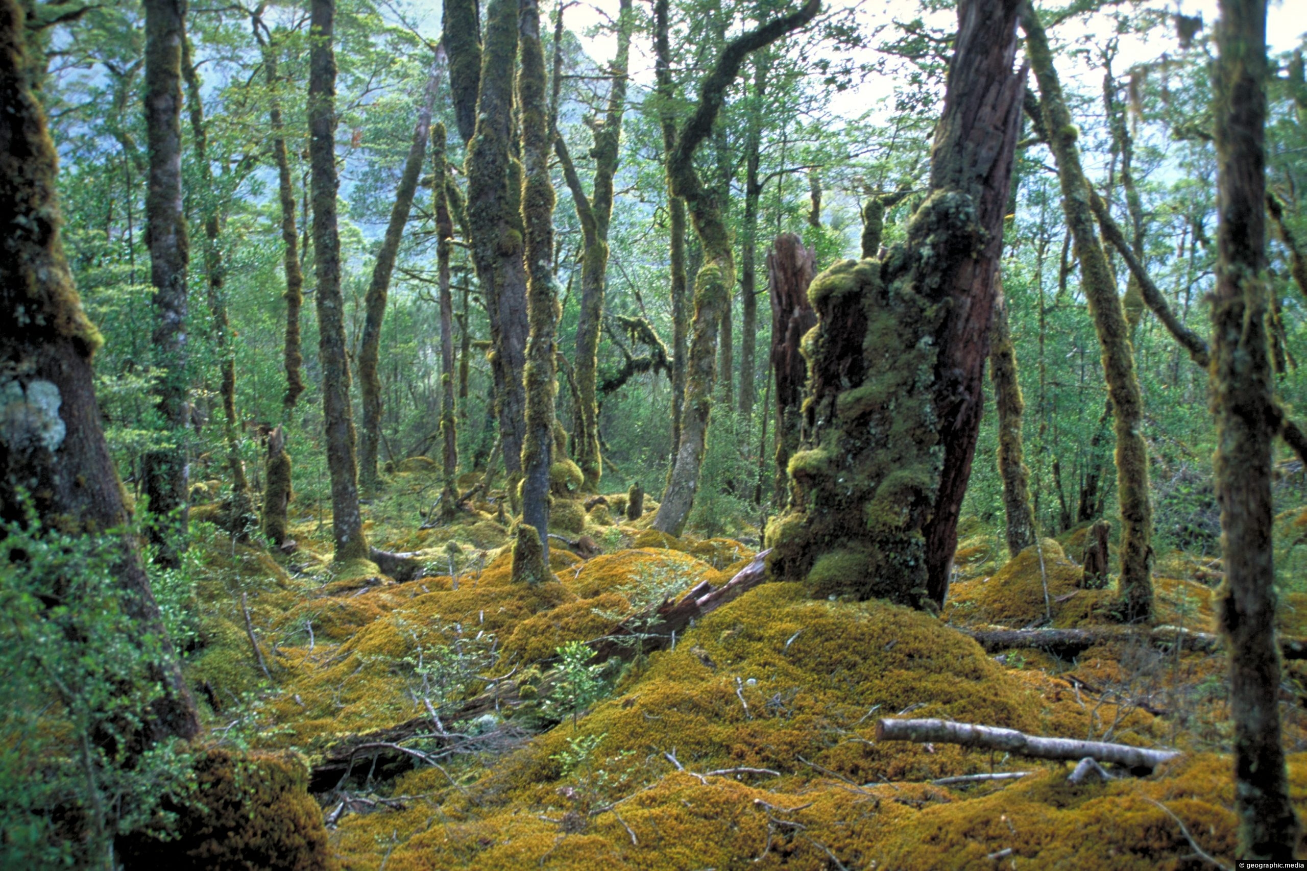
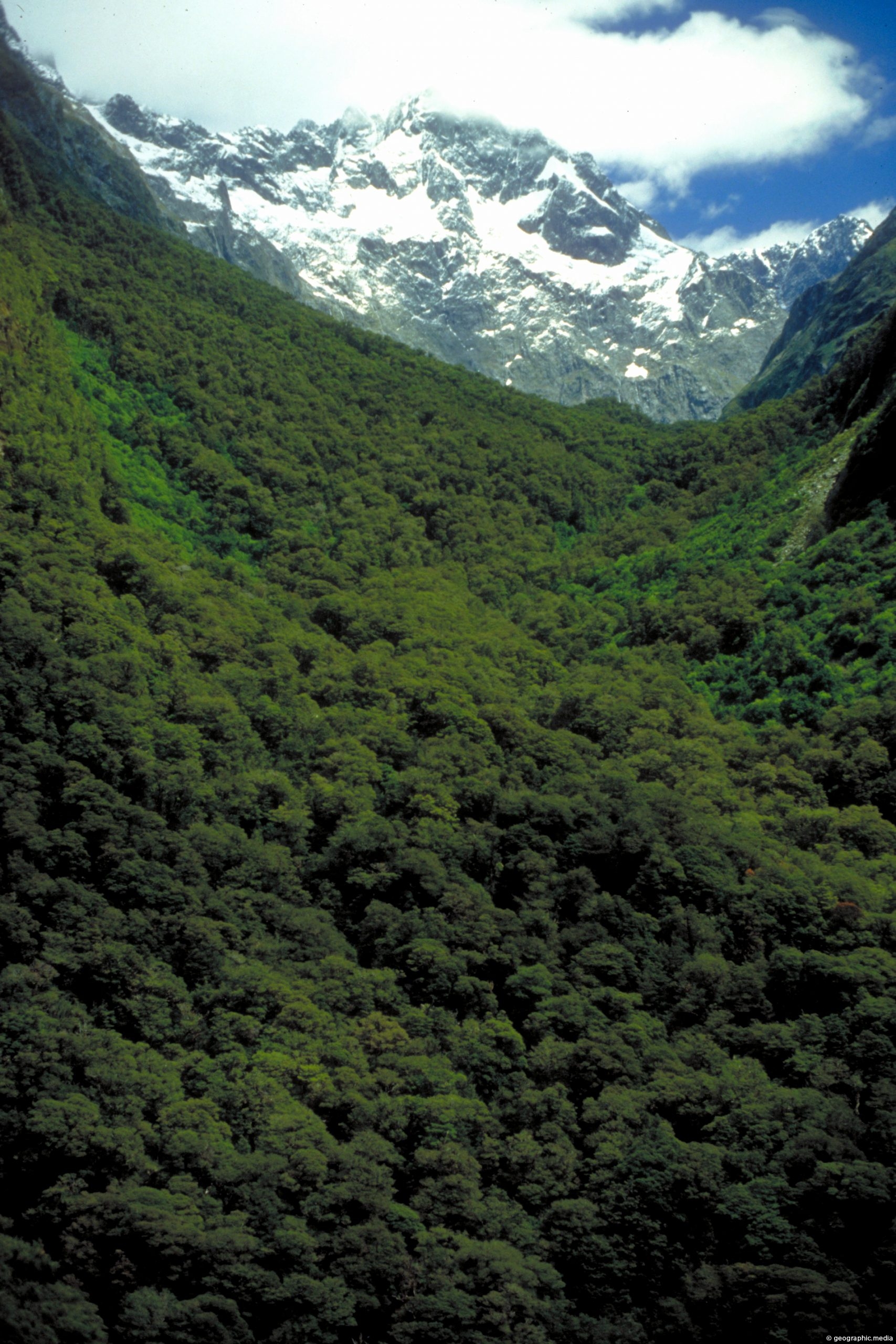
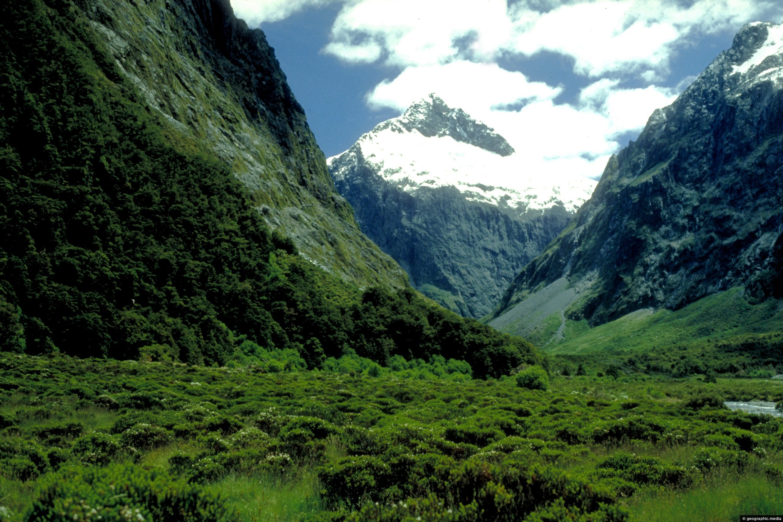
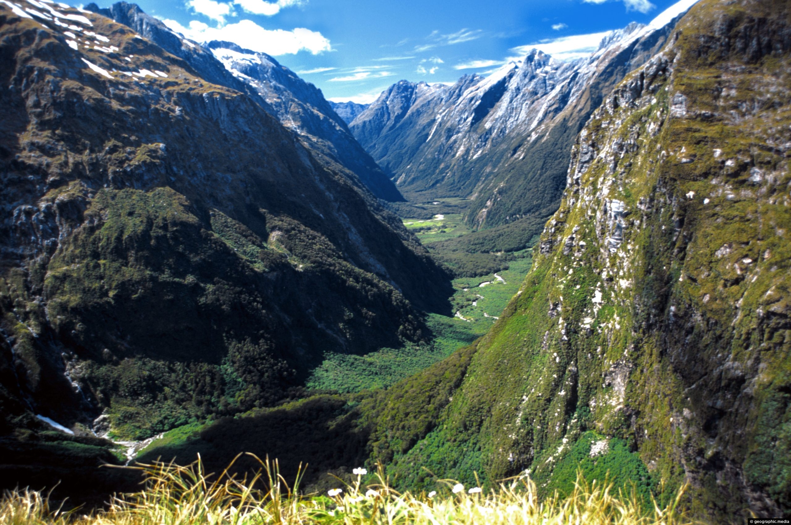
Arthur River in New Zealand flows through Arthur Valley in Fiordland alongside the Milford Track. It eventually flows into Milford Sound.
ALL / Explore Oceania / Explore New Zealand / New Zealand Photos / Fiordland photos / Arthur River Fiordland
All original royalty-free photos, shareable maps, and informative articles.
Arthur River Fiordland
Page Views
This post has been viewed 3,060 times
Related Articles
-
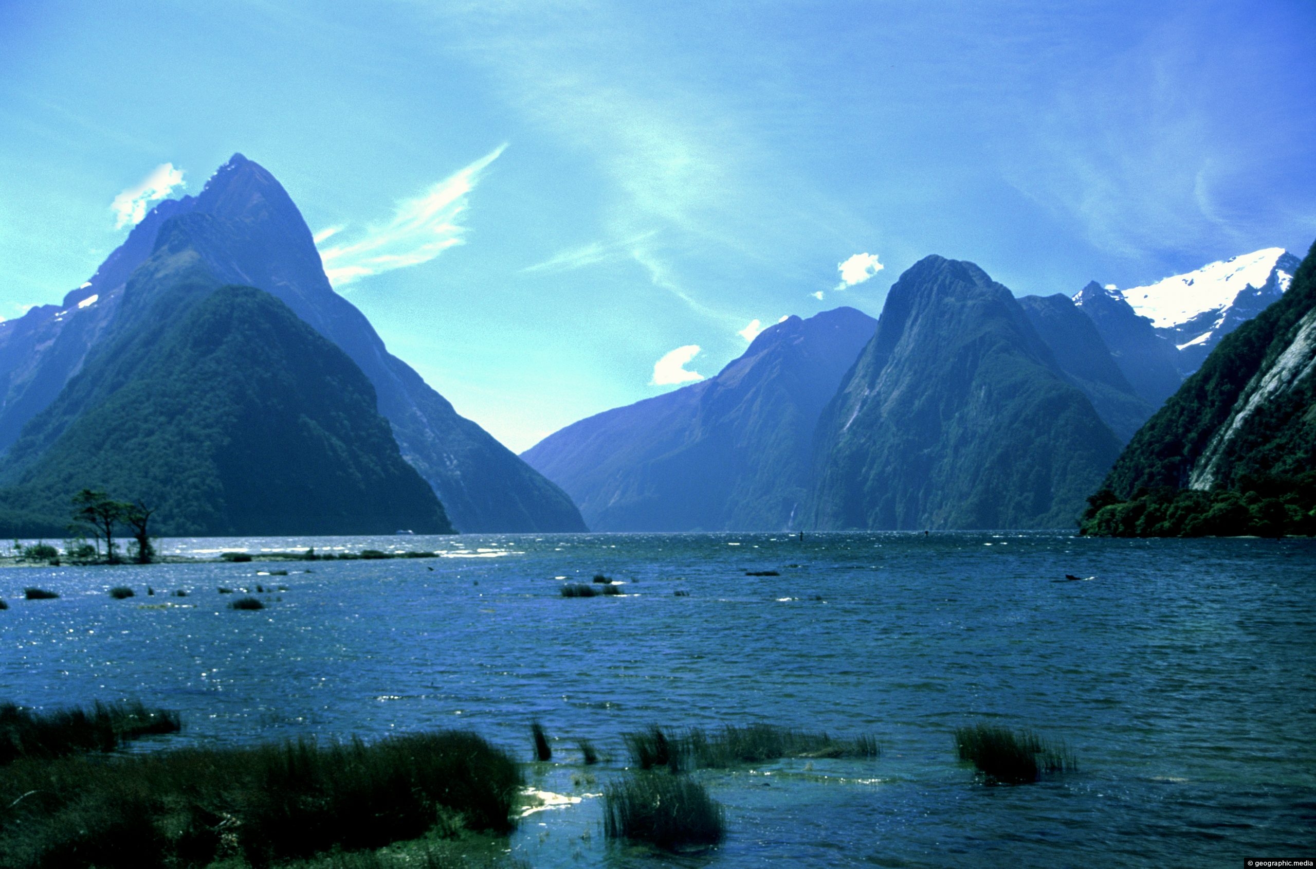
Milford Sound in Fiordland National Park
Fiordland photos, Cliffs, Fiords, Landscape / Horizontal, Mountains, Sea
Milford Sound is one of the most spectacular sights in New Zealand. Located within Fiordland National Park, the fiord...
-
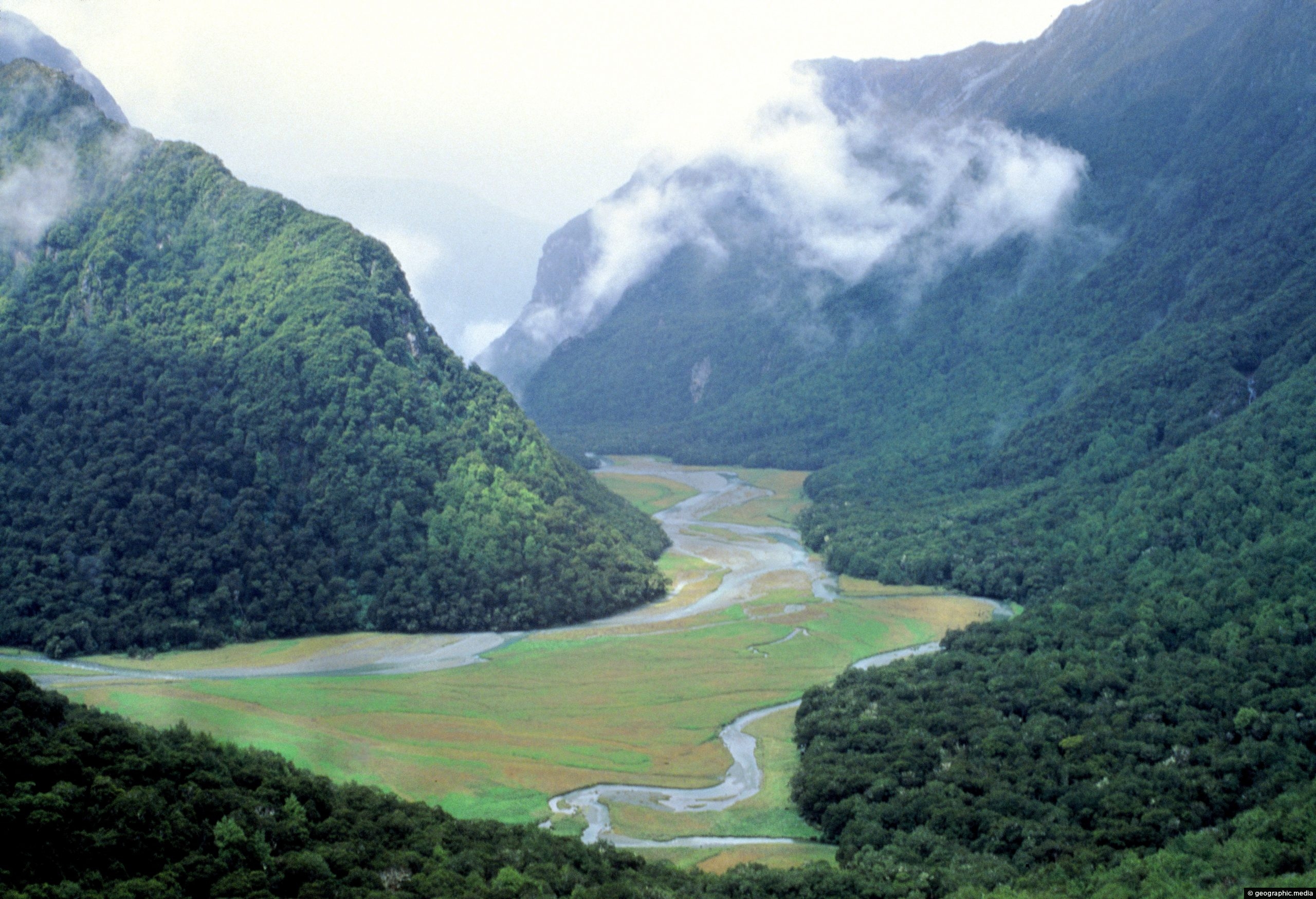
Routeburn Valley Fiordland National Park
Fiordland photos, Forests, Landscape / Horizontal, Mountains, Rivers, Trails
View of Routeburn Valley in New Zealand’s Fiordland National Park. This valley is part of the world-renown Routeburn Track...
-
Fiordland Bush
Fiordland photos, Ferns, Forests, Landscape / Horizontal, Mountains
Looking through the canopy of a forest in Fiordland National Park New Zealand toward a high mountain peak.
-
Clinton Valley Fiordland National Park
Fiordland photos, Landscape / Horizontal, Mountains, Trails
Looking at Clinton Valley in Fiordland National Park. The famous Milford Track passes through here. This view is from...
-
Beech Forest Fiordland National Park
Fiordland photos, Forests, Landscape / Horizontal, Trees
A view of lush beech forest in Fiordland National Park, New Zealand. Due to high rainfall here, moss literally...
-
A slice of Fiordland National Park
Fiordland photos, Forests, Mountains, Portrait / Vertical
Fiordland National Park is full of steep mountains flanked in rainforest that eventually rise high enough to reveal snowy...
-
Mt Talbot Fiordland National Park
Fiordland photos, Landscape / Horizontal, Mountains, Snow
Mount Talbot with Mt Crosscut behind comes into view when traveling to Milford Sound.
-
Clinton Valley & Milford Track
Fiordland photos, Landscape / Horizontal, Mountains, Trails
The world famous Milford Track passes through Clinton Valley. The trail then heads up to Mackinnon Pass for amazing...
0 Comments
Calendar
| M | T | W | T | F | S | S |
|---|---|---|---|---|---|---|
| 1 | ||||||
| 2 | 3 | 4 | 5 | 6 | 7 | 8 |
| 9 | 10 | 11 | 12 | 13 | 14 | 15 |
| 16 | 17 | 18 | 19 | 20 | 21 | 22 |
| 23 | 24 | 25 | 26 | 27 | 28 | 29 |
| 30 | ||||||
Popular Posts
- Awakening New Zealand video (100)
- Iguazu Falls as seen from Brazil (87)
- Metrocable Medellin (78)
- Pauatahanui Inlet (69)
- Spinnaker Hill View (68)
- Spinnaker Hill in Whitby Porirua (68)
- View from Whitby (68)
- The Devil’s Throat (62)
- Aerial View of Iguazu Falls (61)
- Porirua Harbour & Papakowhai (57)
- Lake Wakatipu (57)
- Salto Rivadavia & Iguassu River (56)
- Lake Tekapo & Lupins (54)
- Nelson View (53)
- Salto Rivadavia Misiones Province (53)
- Cascadas at Iguazu (53)
Subjects
AccommodationAnimalsArchitectureBeachesBirdsBoatsBridgesBuildingsCarsChurchesCitiesCoralCultureExtra Wide HorizontalFlowersForestsHarborsHomesIslandsLakesLandscape / HorizontalMapsMenMonumentsMountainsPalmsParksPeoplePlantsPortrait / VerticalRiversRoadsRuralSeaShopsSkyscrapersSnowSunsetsTownsTrailsTransportTreesVideosVolcanicWaterfalls
Recent Comments
- Lance on Concrete Hut Wainuiomata
- Tony on Concrete Hut Wainuiomata
- DavidJ on Wellington Night Skyline
- Ben on Auckland City Skyline from Westhaven Marina in 1998
- Ben on Auckland Harbour Bridge view

