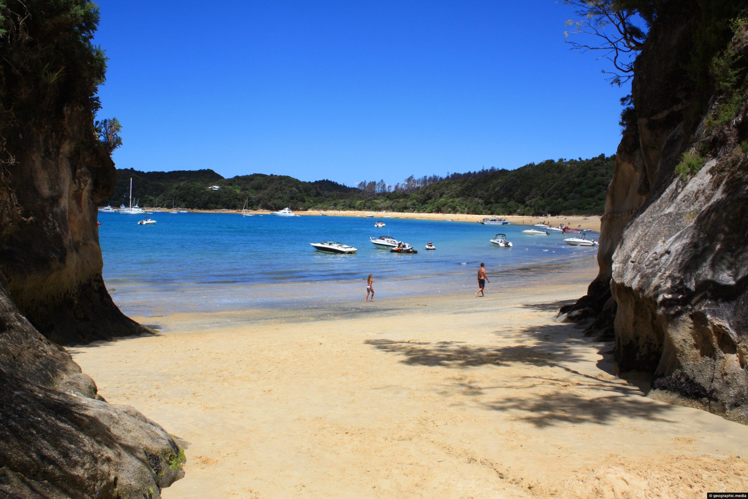
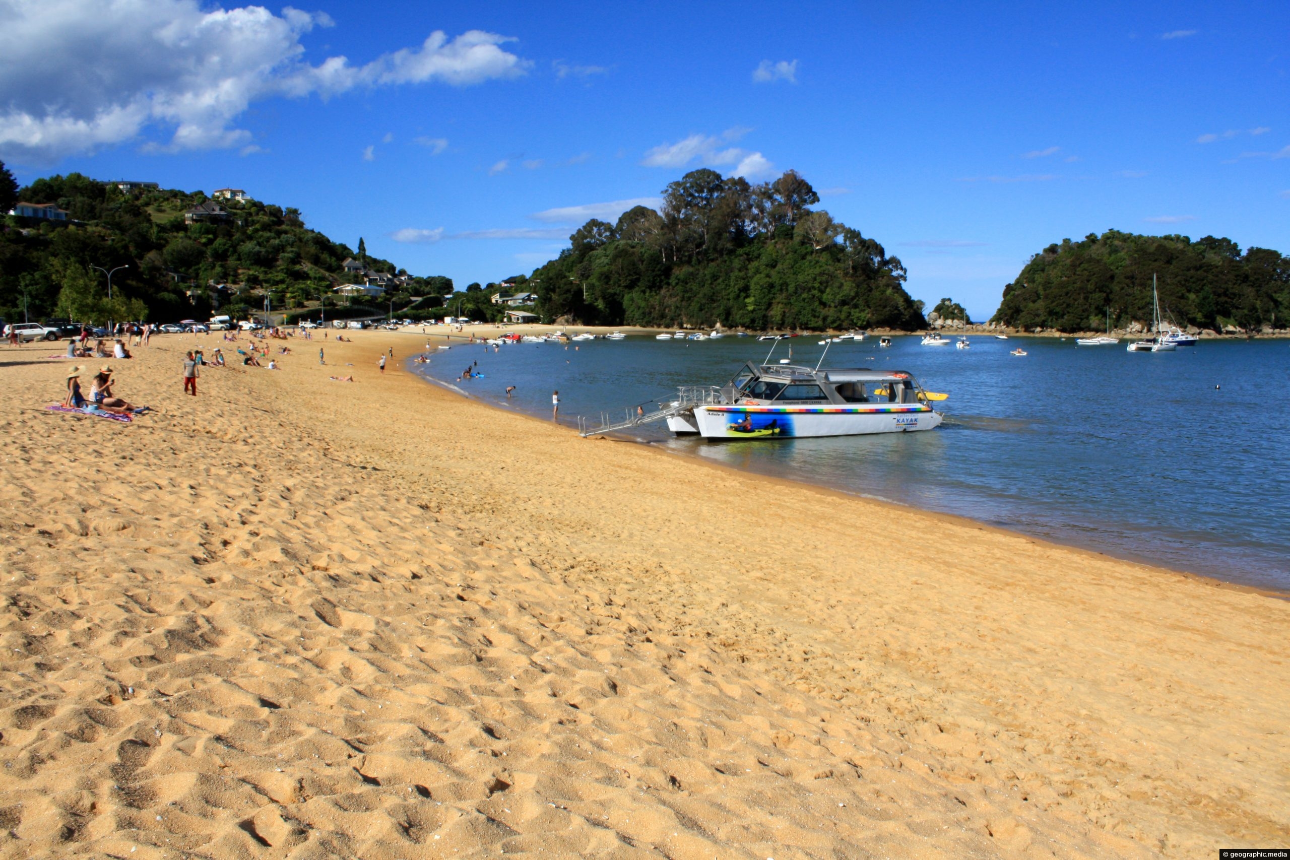
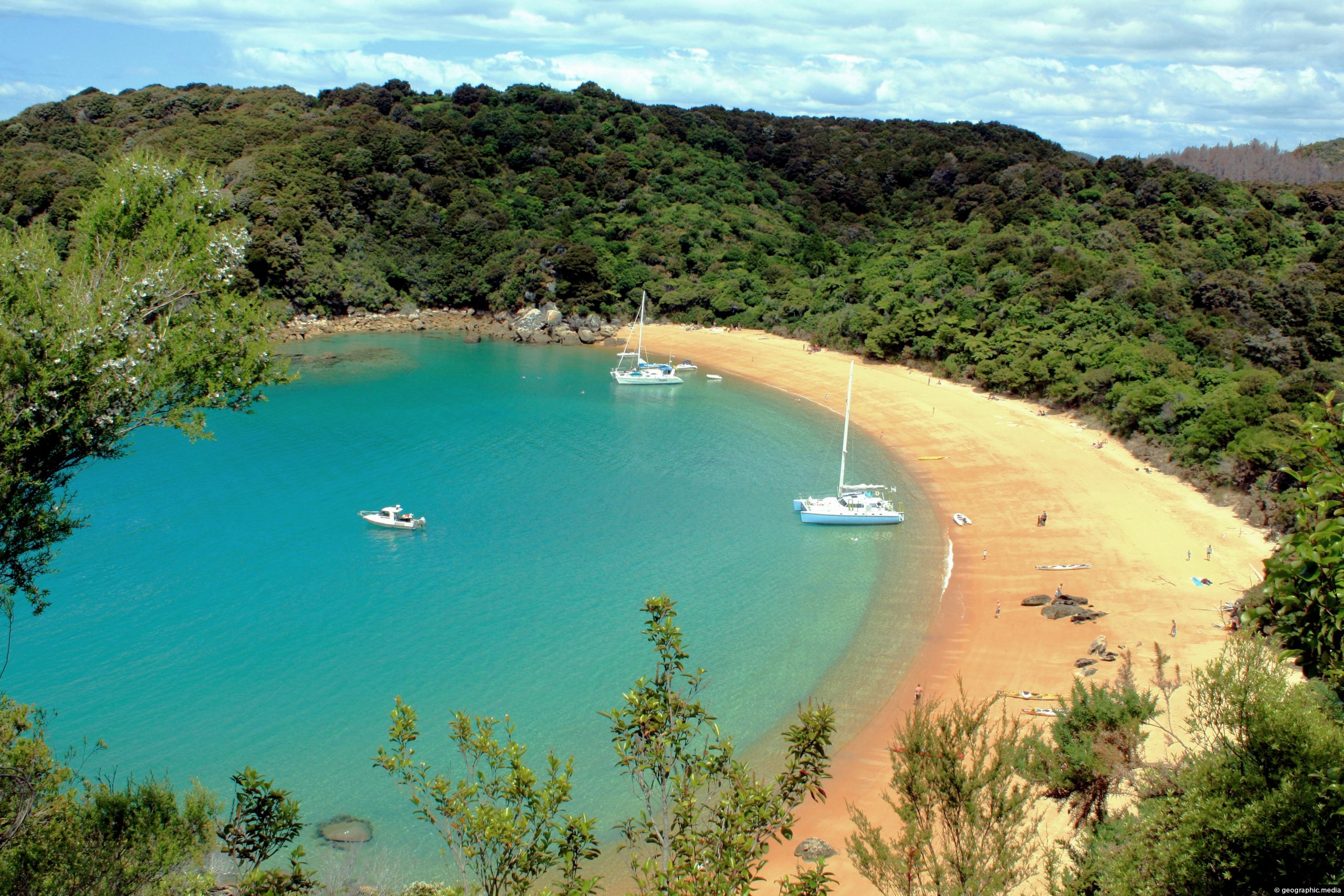
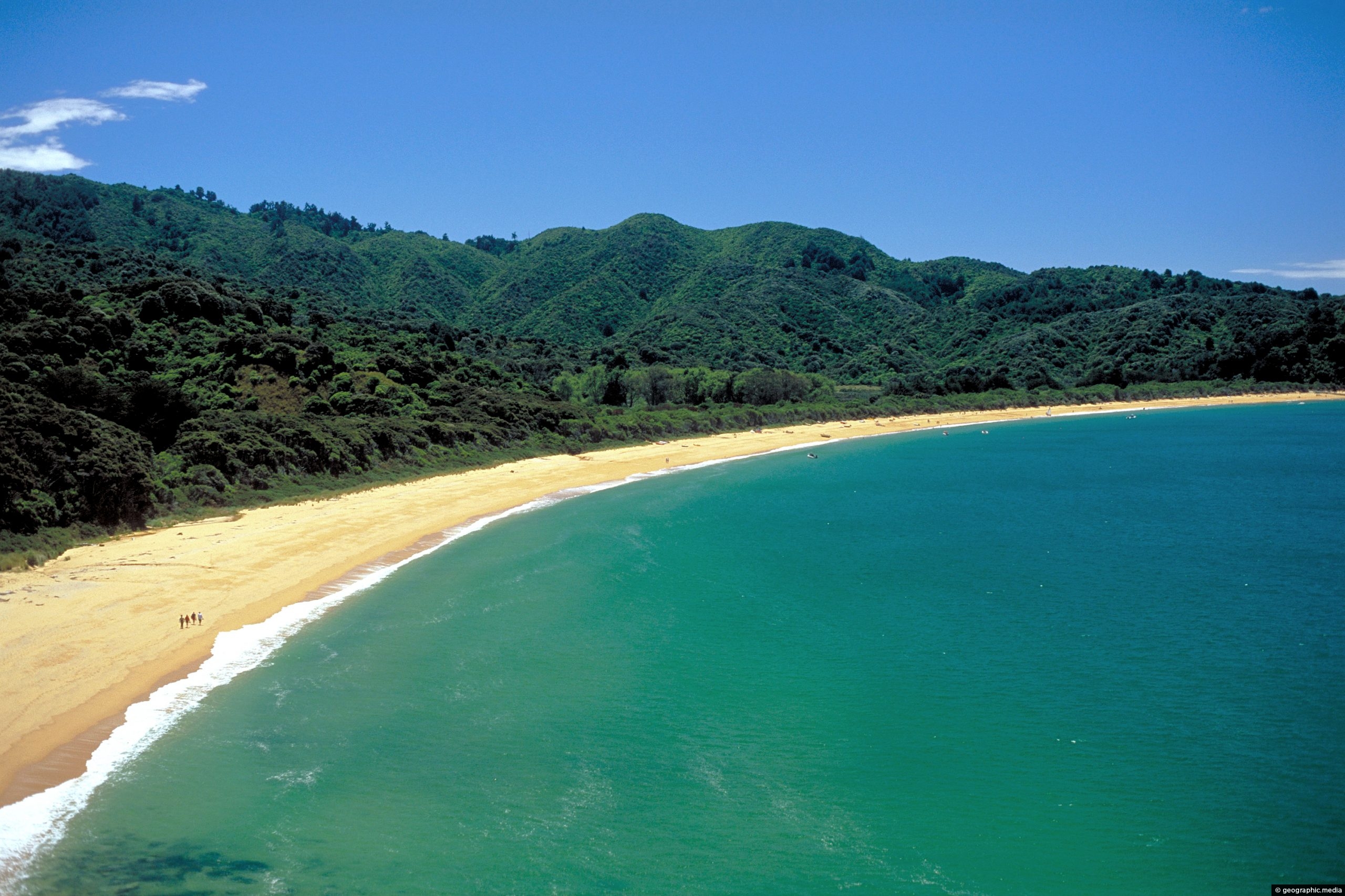
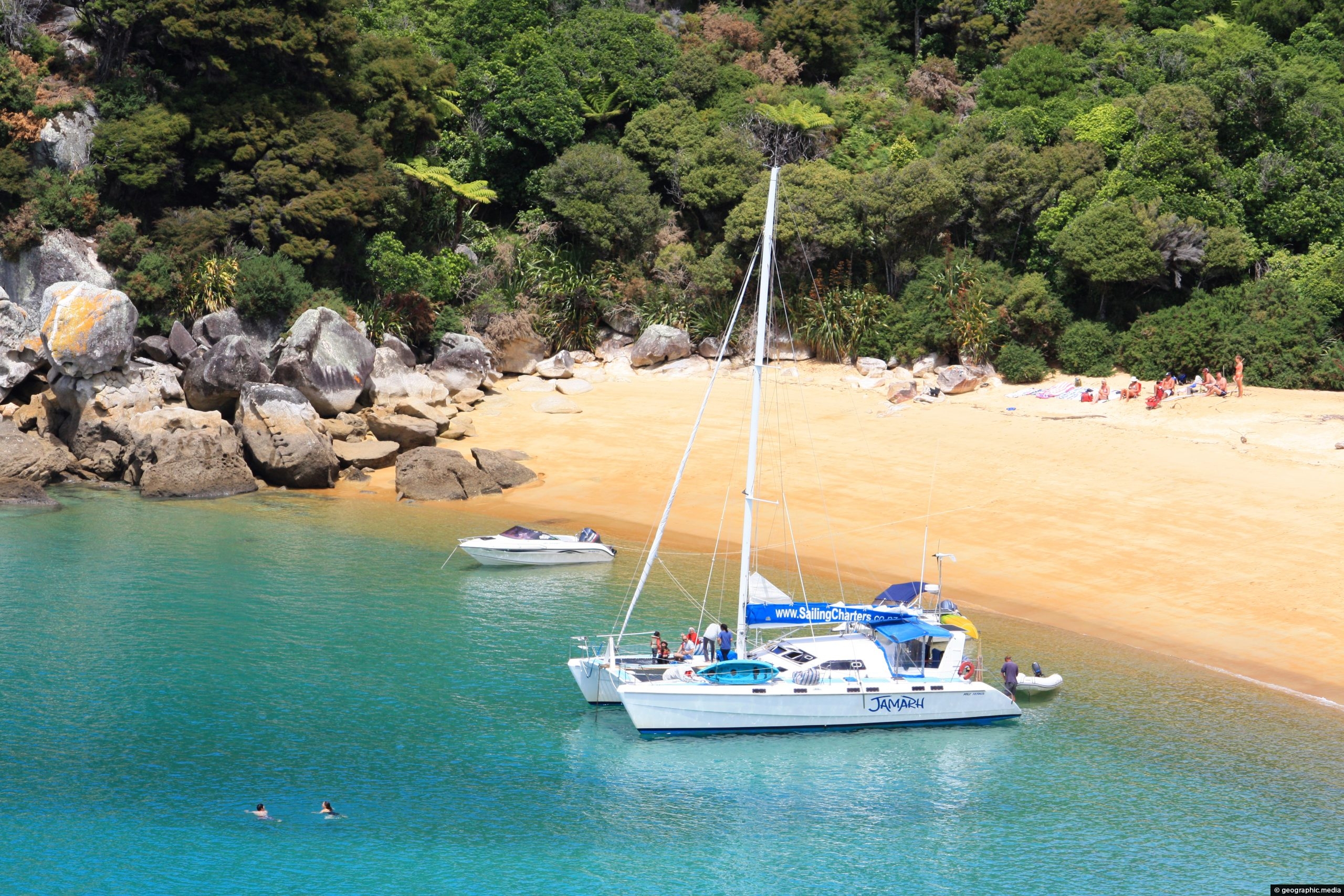
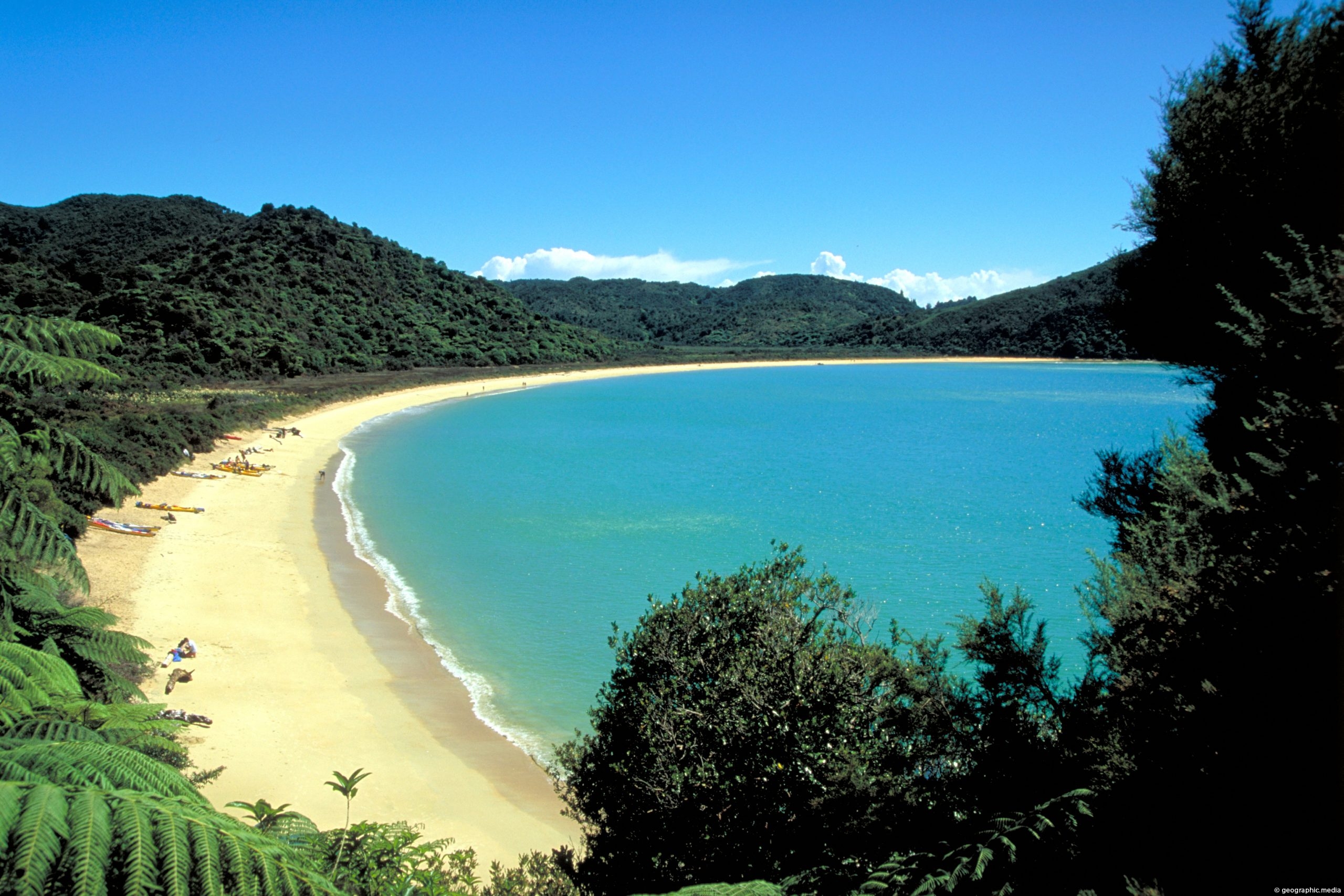
Te Pukeatea Bay is not on the main Abel Tasman Track, but is accessible by a loop track, boat, or by kayak. It is located next to Anchorage Bay.
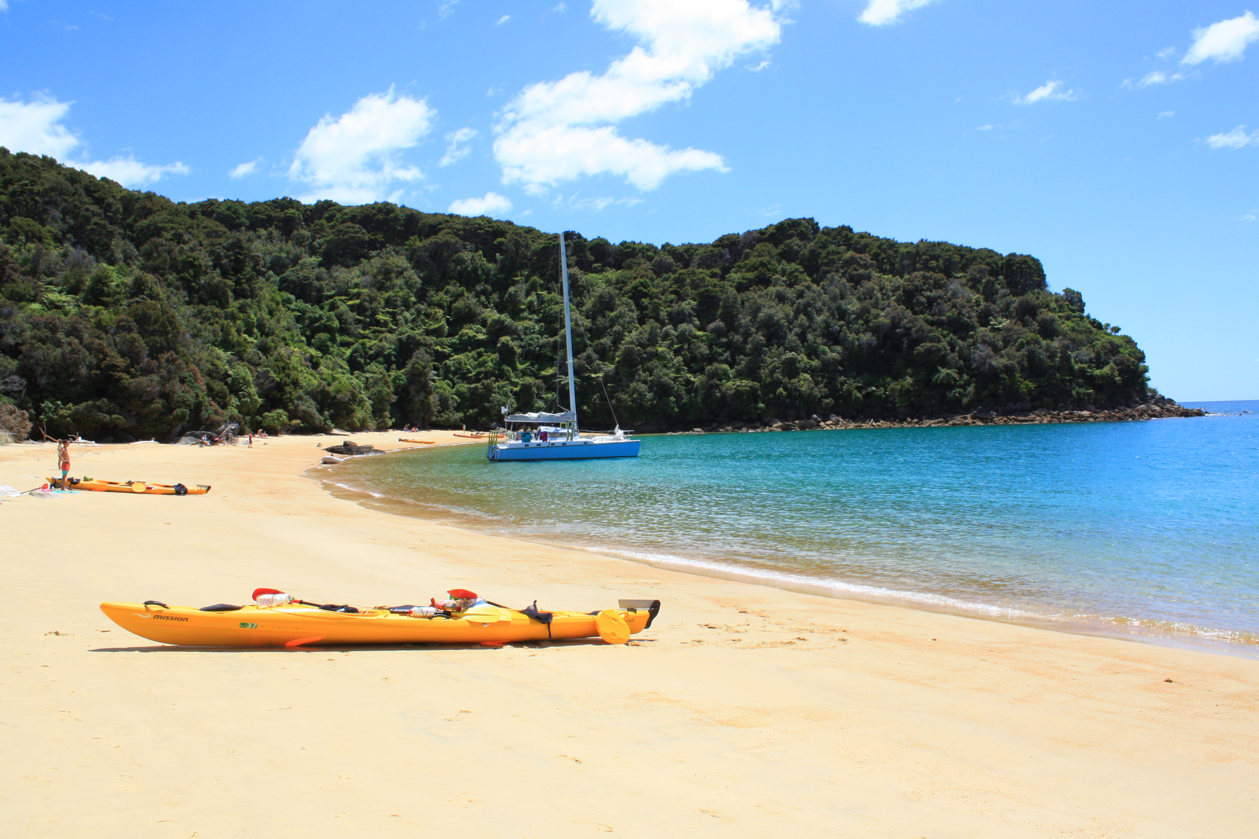
ALL / About / Te Pukeatea Bay Kayaks Abel Tasman
All original royalty-free photos, shareable maps, and informative articles.
Te Pukeatea Bay Kayaks Abel Tasman
Page Views
This post has been viewed 2,578 times
Related Articles
-
Tonga Bay
Abel Tasman photos, Beaches, Landscape / Horizontal, Sea
View of stunning Tonga Bay in Abel Tasman National Park. This beach forms part of the famous Abel Tasman...
-
Abel Tasman Golden Sand
Abel Tasman photos, Beaches, Landscape / Horizontal
View of golden sand which appears on a number of beaches within New Zealand’s Abel Tasman National Park. Sand...
-
West Anchorage Bay Abel Tasman
Abel Tasman photos, Beaches, Landscape / Horizontal, Sea
View from the western end of Anchorage Bay in Abel Tasman National Park.
-
Ferry for Abel Tasman National Park
Abel Tasman photos, Beaches, Boats, Landscape / Horizontal, Sea, Transport
Sea taxis at Kaiteriteri Beach ferry people to nearby Abel Tasman National Park. They are a popular form of...
-
Te Pukeatea Bay
Abel Tasman photos, Beaches, Landscape / Horizontal, Sea
Expansive view of Te Pukeatea Bay in New Zealand’s Abel Tasman National Park. The beach is accessible by boat...
-
Golden Sand on Te Pukeatea Bay
Abel Tasman photos, Beaches, Landscape / Horizontal
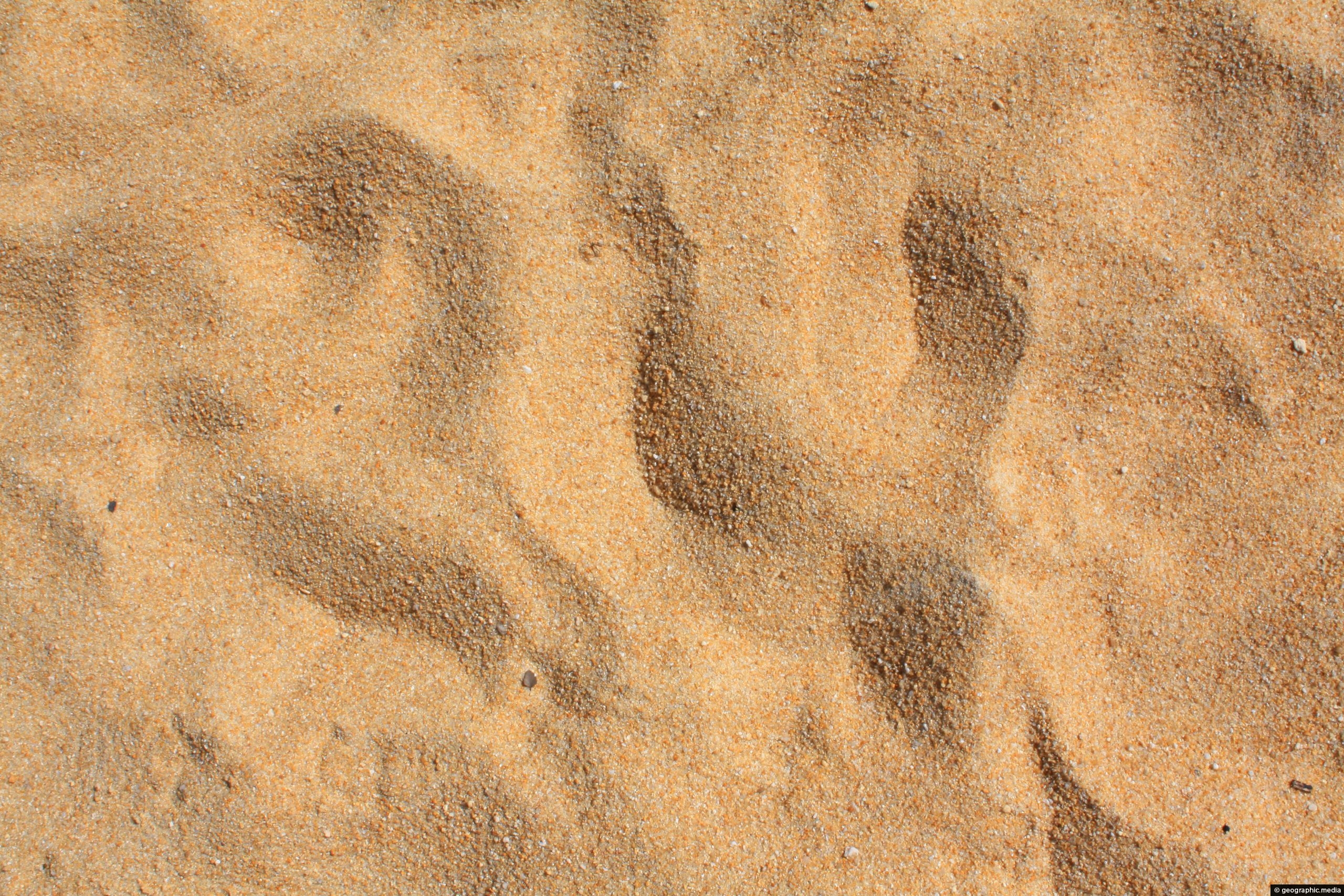
Each beach in Abel Tasman National Park has unique coloring in the sand. At Te Pukeatea Bay for example,...
-
Totaranui Beach
Abel Tasman photos, Beaches, Landscape / Horizontal, Sea
Totaranui Beach in Abel Tasman National Park is about 1 km long. Behind the beach is a large campsite...
-
Eastern Te Pukeatea Bay
Abel Tasman photos, Beaches, Boats, Landscape / Horizontal, Sea, Transport
View of the eastern part of Te Pukeatea Bay in Abel Tasman National Park, New Zealand. This area is...
0 Comments
Popular Posts
- Awakening New Zealand video (100)
- Iguazu Falls as seen from Brazil (87)
- Metrocable Medellin (78)
- Pauatahanui Inlet (69)
- Spinnaker Hill View (69)
- Spinnaker Hill in Whitby Porirua (69)
- View from Whitby (68)
- The Devil’s Throat (63)
- Aerial View of Iguazu Falls (61)
- Porirua Harbour & Papakowhai (58)
- Lake Wakatipu (57)
- Salto Rivadavia & Iguassu River (56)
- Salto Rivadavia Misiones Province (54)
- Close up of Salto Rivadavia (54)
- Cascadas at Iguazu (54)
- Lake Tekapo & Lupins (54)
Subjects
AccommodationAnimalsArchitectureBeachesBirdsBoatsBridgesBuildingsCarsChurchesCitiesCoralCultureExtra Wide HorizontalFlowersForestsHarborsHomesIslandsLakesLandscape / HorizontalMapsMenMonumentsMountainsPalmsParksPeoplePlantsPortrait / VerticalRiversRoadsRuralSeaShopsSkyscrapersSnowSunsetsTownsTrailsTransportTreesVideosVolcanicWaterfalls
Recent Comments
- DavidJ on The True Size of Australia
- Anonymous on The True Size of Australia
- Lance on Concrete Hut Wainuiomata
- Tony on Concrete Hut Wainuiomata
- DavidJ on Wellington Night Skyline