
The MacDonnell Ranges are group of mountains located in the heart of Australia near Alice Springs. They consist of parallel mountain ridges with tight gorges and pockets of oases surrounded by desert. Within the oases areas, is an increase of animal, bird, and plant species.
MacDonnell Ranges, Alice Springs, Northern Territory
This post has been viewed 849 times
Related Articles
-
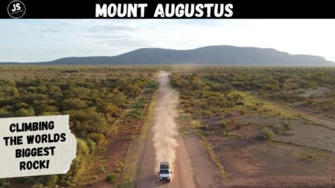
Climbing the Biggest Rock in the World! Mt Augustus!
A stunning sunset over the worlds biggest rock before climbing to the top the next morning!
-
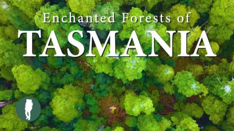
Enchanted Forests of Tasmania
This video explores the lush forests of Tasmania in Australia. Locations include: Cradle Mountain, Liffey Falls, Mt Field National...
-
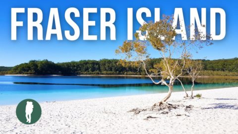
Fraser Island, Queensland, Australia
Fraser Island K’Gari located in Queensland Australia is the largest sand island in the world. Accessible by 4WD only...
-
Australia Travel Documentary
A 4×4 road trip through Australia. A journey of 35000km along rough roads and highways. See stunning beaches, tranquil...
-
Kayaking Australia’s Sickest River
The Cooks River is recognized as Australia’s sickest urban river. Located in Sydney, the river runs through concrete drains,...
-
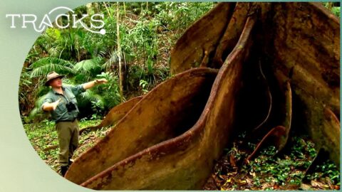
Exploring The World’s Oldest Rainforest In Australia
Ray Mears ventures into the dense rainforest of the Wet Tropics in Queensland. He seeks out the tree kangaroo...
-
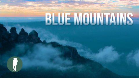
Blue Mountains Australia
The Blue Mountains west of Sydney is a part of the Great Dividing Range in NEw South Wales. Natural...
-
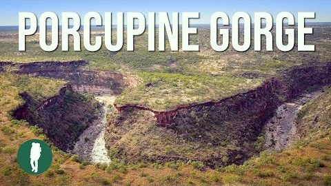
Porcupine Gorge Aerial View
Porcupine Gorge is canyon that reveals strata of sedimentary rocks spanning hundreds of millions of years. Carved by Porcupine...


0 Comments

