A map showing intercity train routes in Australia.
Travelling Australia by train is popular due to vast distances between many cities and towns. The empty space in the north-west is due to the very low population.

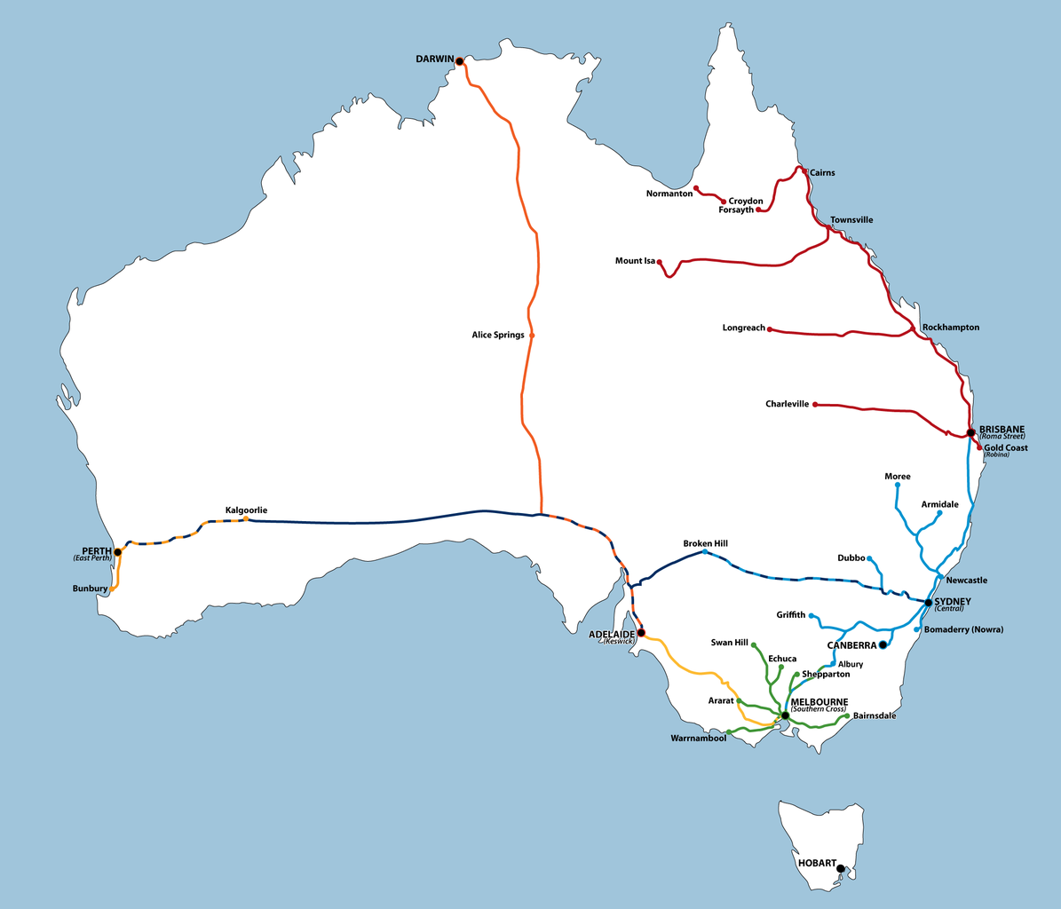
A map showing intercity train routes in Australia.
Travelling Australia by train is popular due to vast distances between many cities and towns. The empty space in the north-west is due to the very low population.
Australia is significantly larger than Western Europe, even when Scandinavia is excluded, (otherwise it doesn’t fit inside the map)....
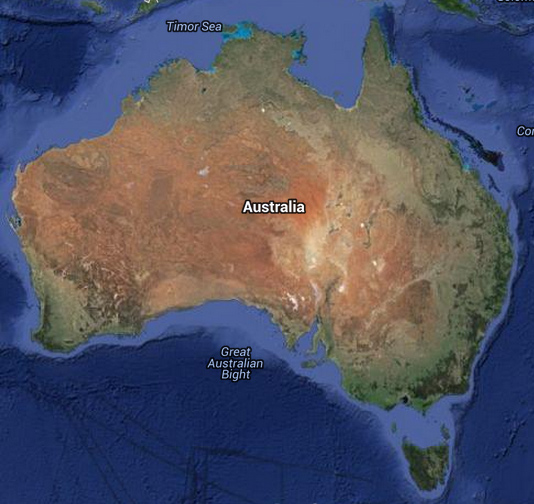
Australian map showing landscapes, cities, towns, & streets Explore Australia with our google map showing landscapes, cities, and towns....
The location of Australia on the globe. To the north of Australia is the island of New Guinea. To...
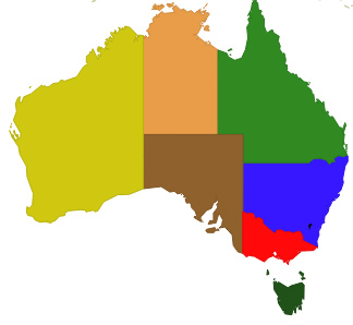
Move the cursor to each area to discover the name of each state or territory. Try to guess the...
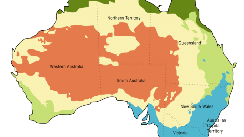
Map showing the climatic regions of Australia Australia has a wide array of landscapes and climates. Due to its...
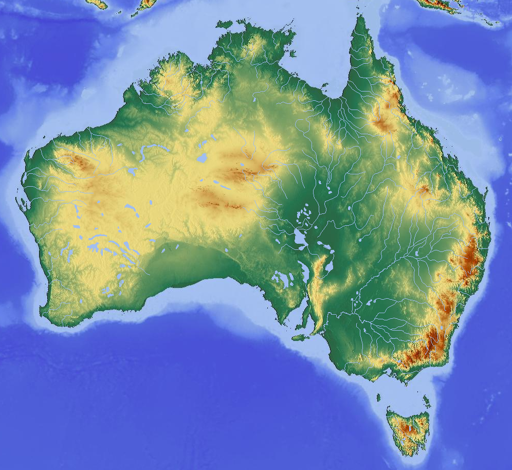
Topographical map of Australia showing highlands and lowlands The Great Dividing Range is the main mountain chain in Australia....
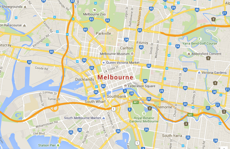
Interactive Google Map of Melbourne, the second largest city in Australia View Larger Map Navigate along the suburb of...
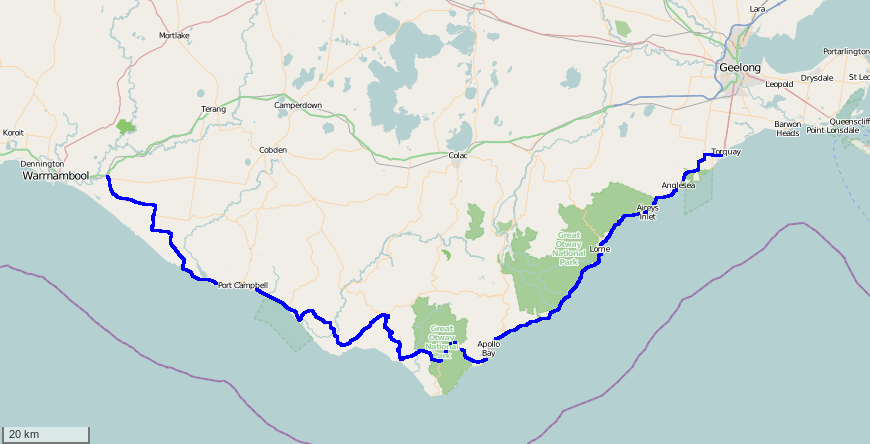
Map of the Great Ocean Road in Australia. It is considered the best coastal drive in the country. The...