
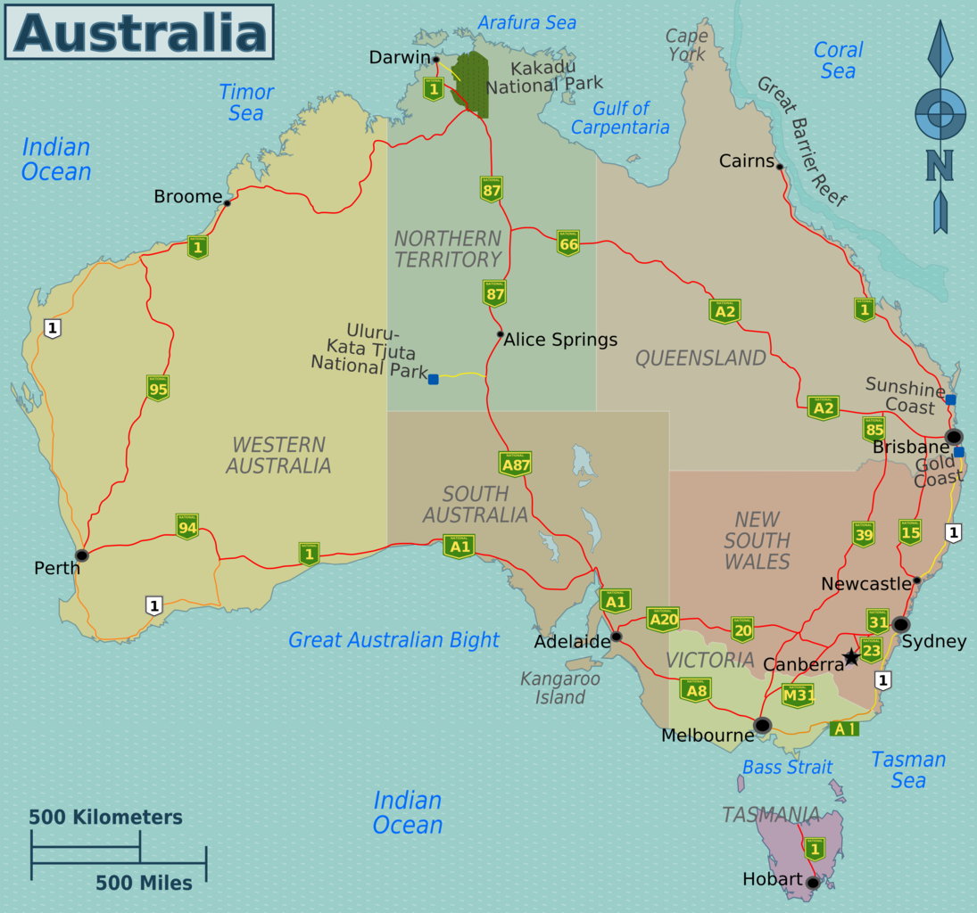
Major highways map of Australia
Map showing the states and territories of Australia as well as the main state highways. Highways encircle the continent with a main highway also running through the center of the country. A number of other highways head inland and connect back out to the coast. Tasmania also has a highway that runs through the center the island as well as other main roads around the coast.
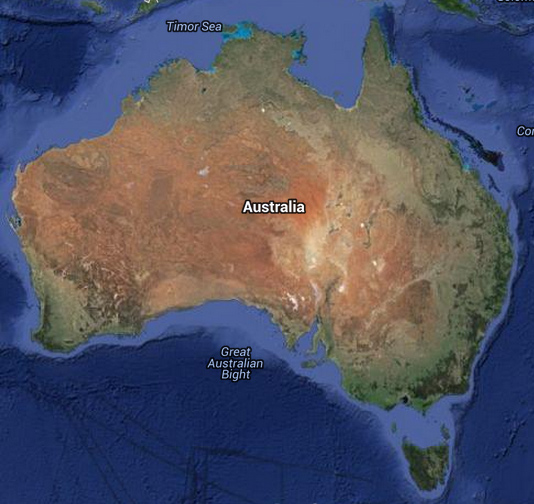
The map also shows the many oceans and seas that surround Australia. They include the Indian Ocean, Pacific Ocean, and the Southern Ocean. Seas include: Arafura Sea, Coral Sea, Tasman Sea, Bass Strait, and Timor Sea.


