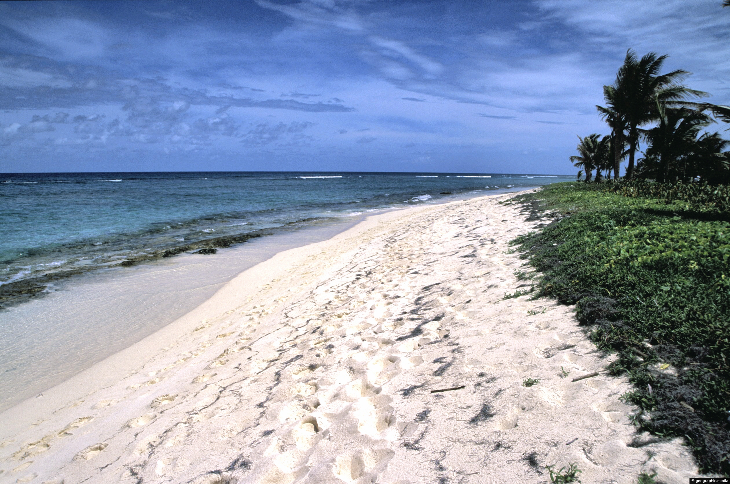
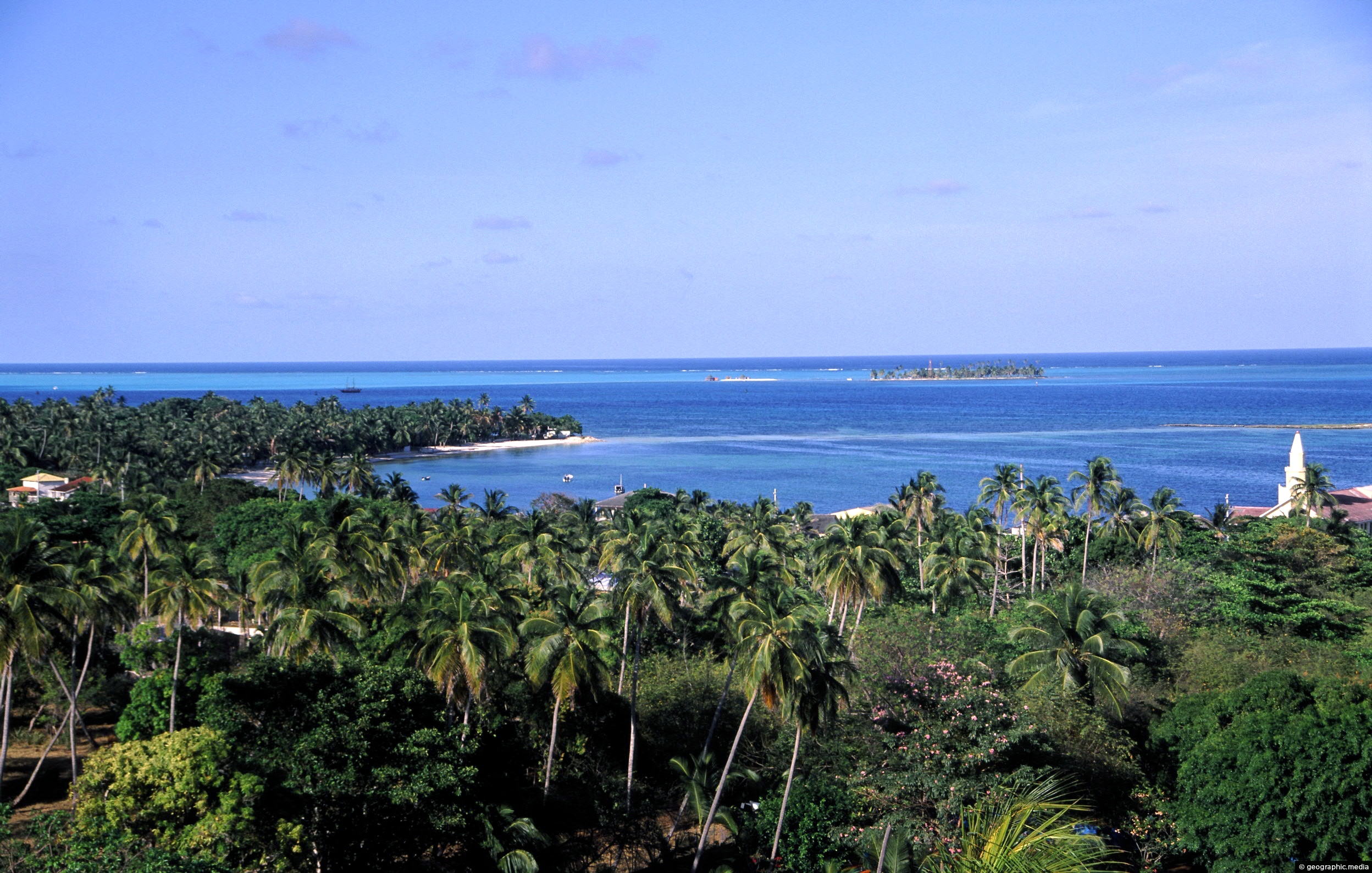
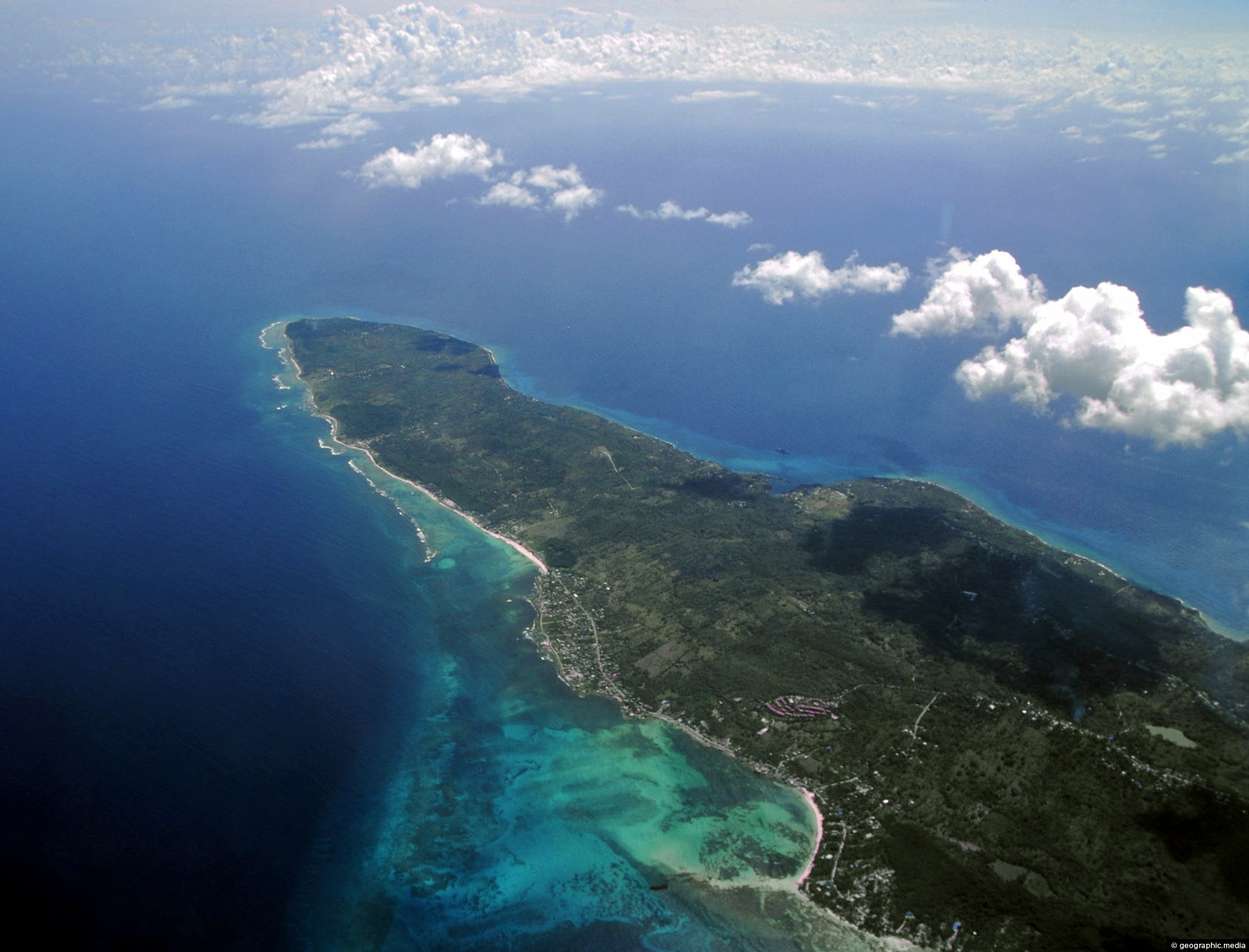
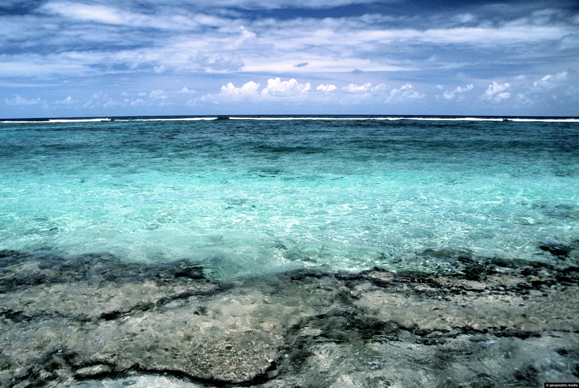
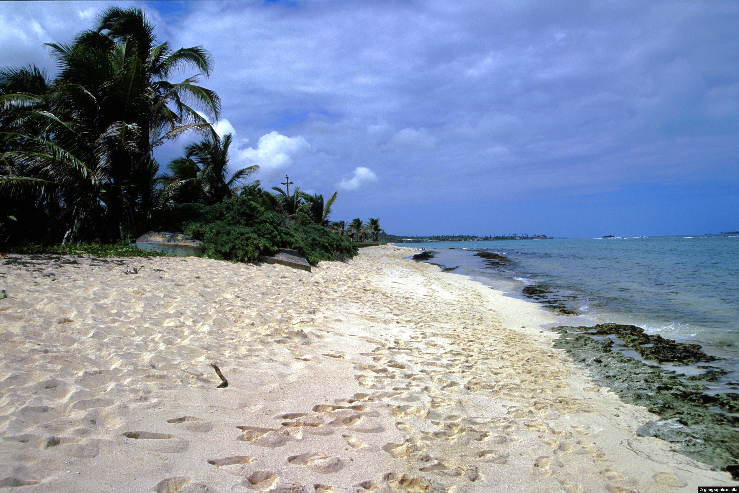
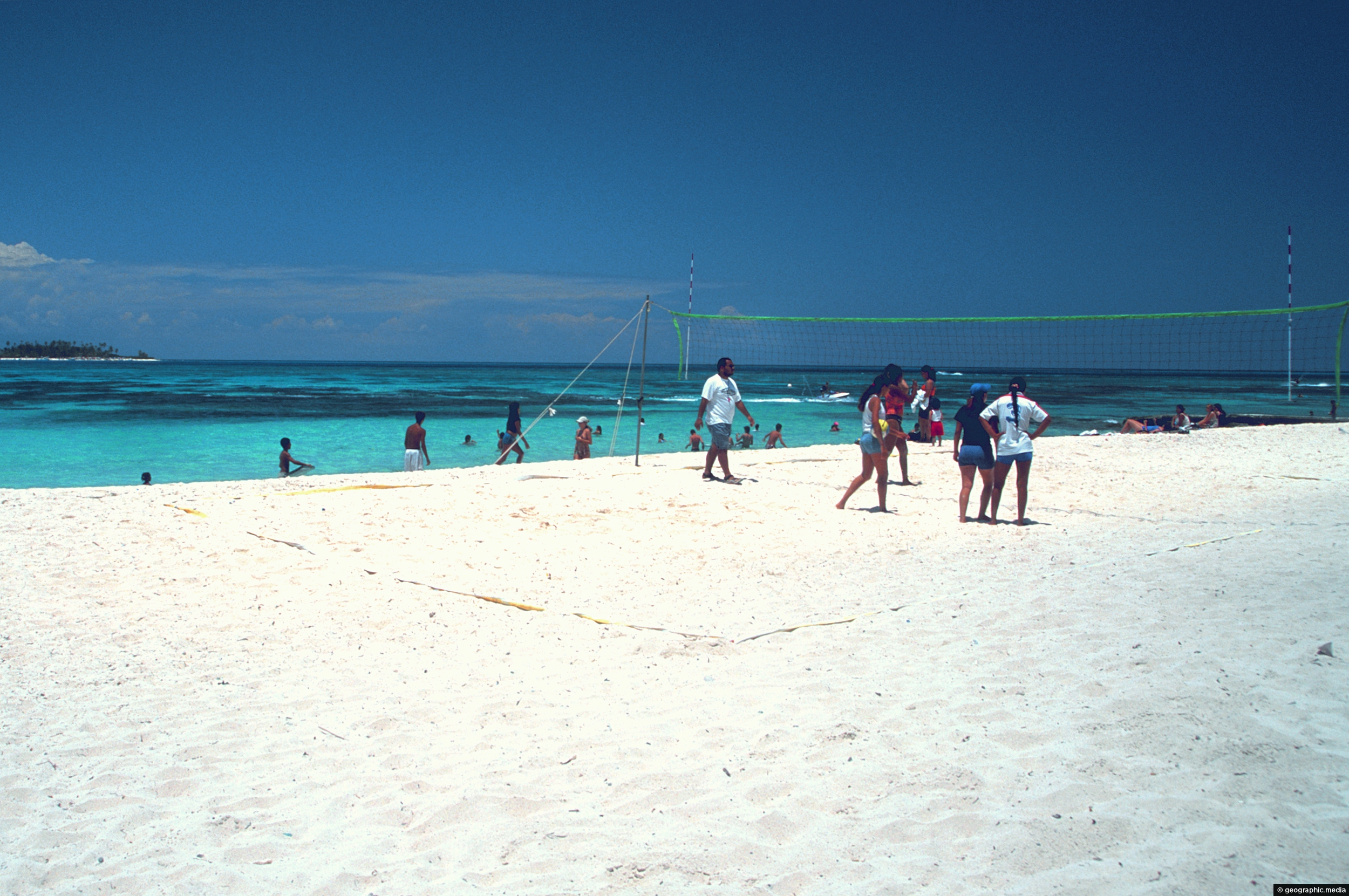
A stretch of sand on the wind swept side of Johnny Cay. This small coral island lies just off the San Andres coast. It is a popular day trip for visitors to San Andres.
ALL / Explore South America / Explore Colombia / Colombia Photos / San Andres photos / Sand and wind on Johnny Cay
All original royalty-free photos, shareable maps, and informative articles.
Sand and wind on Johnny Cay
Page Views
This post has been viewed 1,949 times
Related Articles
-
Sprat Bight in San Andres
San Andres photos, Beaches, Islands, Landscape / Horizontal, Sea
Sprat Bight Beach on San Andres with Johnny Cay in the distance.
-
Sprat Bight Beach in San Andres
San Andres photos, Beaches, Islands, Landscape / Horizontal, Palms, Sea
View of Sprat Bight Beach on the island of San Andres. It is the main beach on this Caribbean...
-
Romantic San Andres
San Andres photos, Beaches, Islands, Landscape / Horizontal, Sea
San Andres is one of the premier holiday destinations of Colombia. It is a favorite spot for Colombians to...
-
San Andres Colombia Aerial View
San Andres photos, Islands, Landscape / Horizontal, Sea
View from a plane window of San Andres in the Caribbean Sea. While the island is located near Honduras,...
-
View of Johnny Cay in San Andres
San Andres photos, Beaches, Islands, Landscape / Horizontal, Sea
View of Johnny Cay from San Andres. This island is a small coral islet about 1.5 km (0.93 mi)...
-
White Sand Beach on San Andres
San Andres photos, Beaches, Landscape / Horizontal, Sea
A typical white sandy beach on San Andres with a view of the Caribbean Sea.
-
Coral White Sand in San Andreas
San Andres photos, Beaches, Islands, Landscape / Horizontal, Sea
The sand on the beaches of San Andres are noted for their bright white color. This coupled with the...
-
San Andres South Coastline
San Andres photos, Beaches, Islands, Landscape / Horizontal, Sea
This stretch of coastline lies to the south of San Andres.
0 Comments
Popular Posts
- Awakening New Zealand video (100)
- Iguazu Falls as seen from Brazil (87)
- Metrocable Medellin (78)
- Pauatahanui Inlet (68)
- View from Whitby (68)
- Spinnaker Hill View (68)
- Spinnaker Hill in Whitby Porirua (68)
- The Devil’s Throat (62)
- Aerial View of Iguazu Falls (61)
- Lake Wakatipu (57)
- Porirua Harbour & Papakowhai (57)
- Salto Rivadavia & Iguassu River (56)
- Lake Tekapo & Lupins (54)
- Nelson View (53)
- Cascadas at Iguazu (53)
- Close up of Salto Rivadavia (53)
Subjects
AccommodationAnimalsArchitectureBeachesBirdsBoatsBridgesBuildingsCarsChurchesCitiesCoralCultureExtra Wide HorizontalFlowersForestsHarborsHomesIslandsLakesLandscape / HorizontalMapsMenMonumentsMountainsPalmsParksPeoplePlantsPortrait / VerticalRiversRoadsRuralSeaShopsSkyscrapersSnowSunsetsTownsTrailsTransportTreesVideosVolcanicWaterfalls
Recent Comments
- Lance on Concrete Hut Wainuiomata
- DavidJ on Concrete Hut Wainuiomata
- Tony on Concrete Hut Wainuiomata
- DavidJ on Wellington Night Skyline
- Ben on Auckland City Skyline from Westhaven Marina in 1998