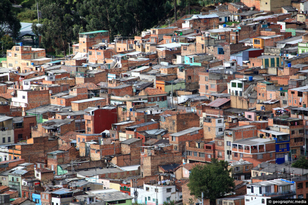
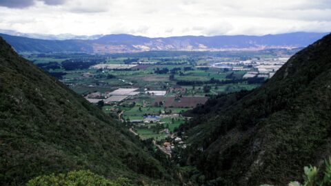
View of a hillside barrio in the Colombian city of Bogota. Millions of people here cannot afford a home, so are forced to build on the hillsides of the city where the views are amazing.
ALL / Explore South America / Explore Colombia / Colombia Photos / Bogota photos / Hillside Barrios in Bogota
All original royalty-free photos, shareable maps, and informative articles.
Hillside Barrios in Bogota
Page Views
This post has been viewed 474 times
Related Articles
-
Chiva Bus Rear View
Bogota photos, Buses, Landscape / Horizontal, Roads, Transport
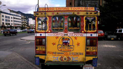
View at the back of a chiva bus in Bogota Colombia. These buses are basically tourist buses that take...
-
Eastern View of Bogota from CBD
Bogota photos, Buildings, Cities, Landscape / Horizontal
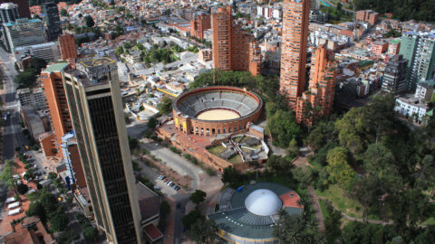
Looking east from the central CBD of Bogota with part of the CBD in view. In view are some...
-
Ban Cafe & Banco de Occidente Buildings
Bogota photos, Buildings, Cities, Portrait / Vertical, Skyscrapers
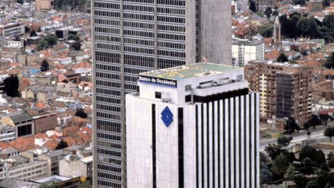
View of the Ban Cafe and Banco de Occidente buildings in Bogota (circa 2002). Both buildings were prominent structures...
-
Bogota View from Chia
Bogota photos, Landscape / Horizontal, Mountains, Rural, Towns
Looking toward northern Bogota in the distance from the satellite town of Chia, as seen from atop the La...
-
Santa Teresa de Avila Church Bogota
Bogota photos, Buildings, Churches, Portrait / Vertical
Santa Teresa de Avila Church is a Catholic church located in the suburb of Barrios Unidos in Bogota, the...
-
Calle 121 Usaquen (Private Road)
Bogota photos, Landscape / Horizontal, Roads
View of Calle 121 in Usaquen where the road becomes private. A security guard vets who can venture into...
-
Calle 121 Usaquen Bogota
Bogota photos, Architecture, Buildings, Food, Landscape / Horizontal, Roads, Shops
Calle 121 is a street located in the Usaquén neighborhood of Bogotá, Colombia. The street has some good examples...
-
Atlantis Plaza in Zona Rosa Bogota
Bogota photos, Cars, Landscape / Horizontal, Roads, Shops, Transport
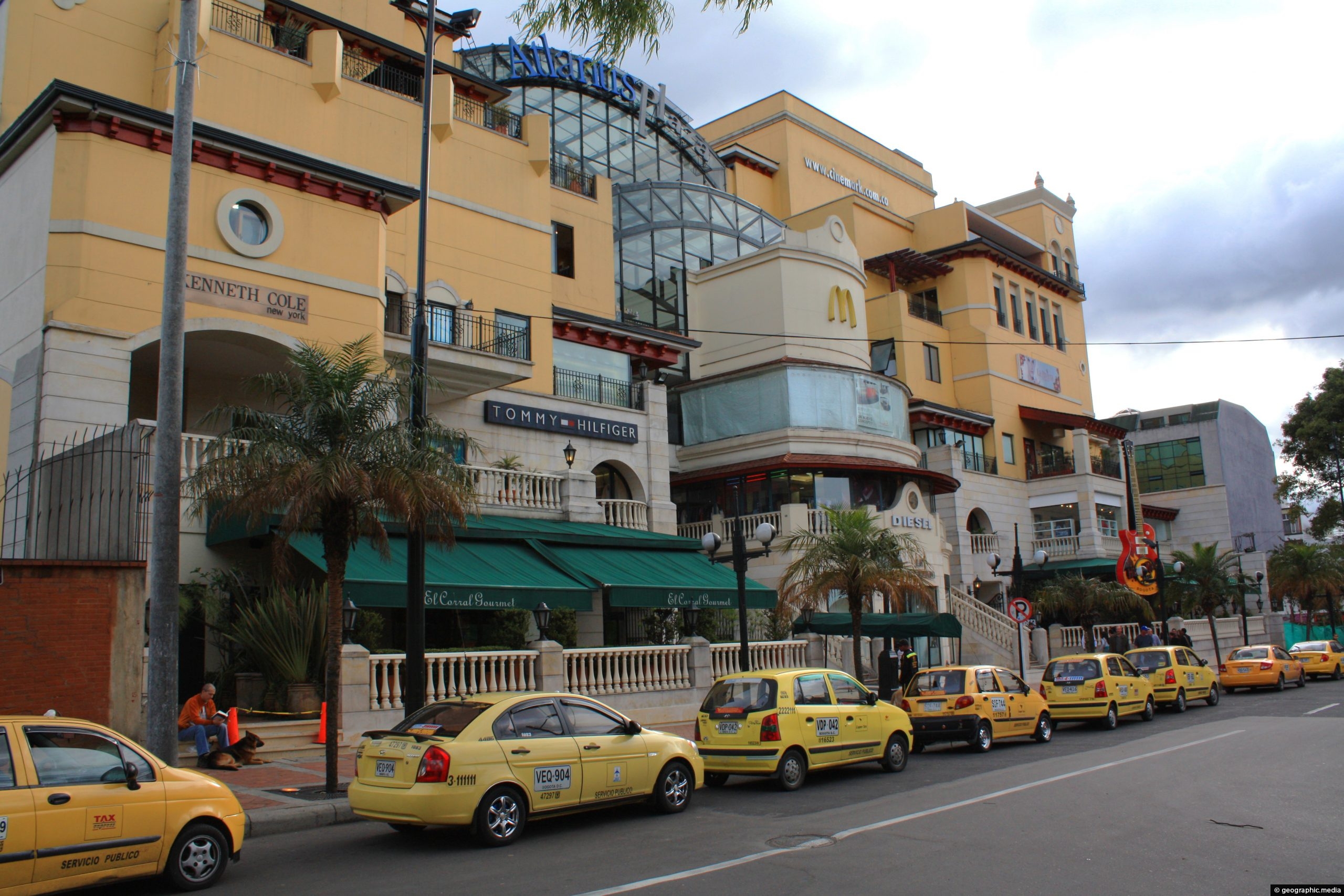
View of taxis outside Atlantis Plaza in Zona Rosa, Bogota. Inside the plaza is a cinema complex, a number...
0 Comments
Calendar
| M | T | W | T | F | S | S |
|---|---|---|---|---|---|---|
| 1 | ||||||
| 2 | 3 | 4 | 5 | 6 | 7 | 8 |
| 9 | 10 | 11 | 12 | 13 | 14 | 15 |
| 16 | 17 | 18 | 19 | 20 | 21 | 22 |
| 23 | 24 | 25 | 26 | 27 | 28 | 29 |
| 30 | ||||||
Popular Posts
- Awakening New Zealand video (100)
- Iguazu Falls as seen from Brazil (87)
- Metrocable Medellin (78)
- Pauatahanui Inlet (69)
- Spinnaker Hill in Whitby Porirua (68)
- Spinnaker Hill View (68)
- View from Whitby (68)
- The Devil’s Throat (62)
- Aerial View of Iguazu Falls (61)
- Porirua Harbour & Papakowhai (57)
- Lake Wakatipu (57)
- Salto Rivadavia & Iguassu River (56)
- Lake Tekapo & Lupins (54)
- Nelson View (53)
- Salto Rivadavia Misiones Province (53)
- Cascadas at Iguazu (53)
Subjects
AccommodationAnimalsArchitectureBeachesBirdsBoatsBridgesBuildingsCarsChurchesCitiesCoralCultureExtra Wide HorizontalFlowersForestsHarborsHomesIslandsLakesLandscape / HorizontalMapsMenMonumentsMountainsPalmsParksPeoplePlantsPortrait / VerticalRiversRoadsRuralSeaShopsSkyscrapersSnowSunsetsTownsTrailsTransportTreesVideosVolcanicWaterfalls
Recent Comments
- Lance on Concrete Hut Wainuiomata
- Tony on Concrete Hut Wainuiomata
- DavidJ on Wellington Night Skyline
- Ben on Auckland City Skyline from Westhaven Marina in 1998
- Ben on Auckland Harbour Bridge view

