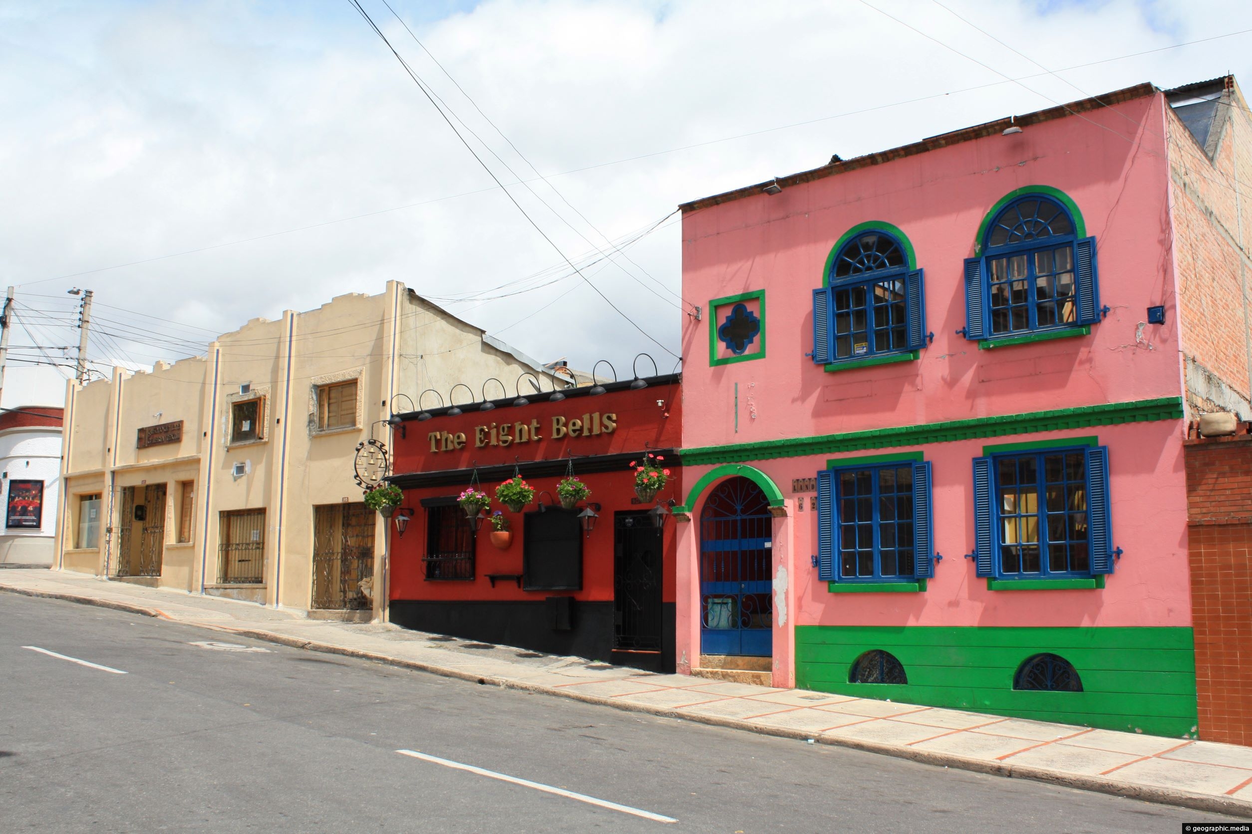
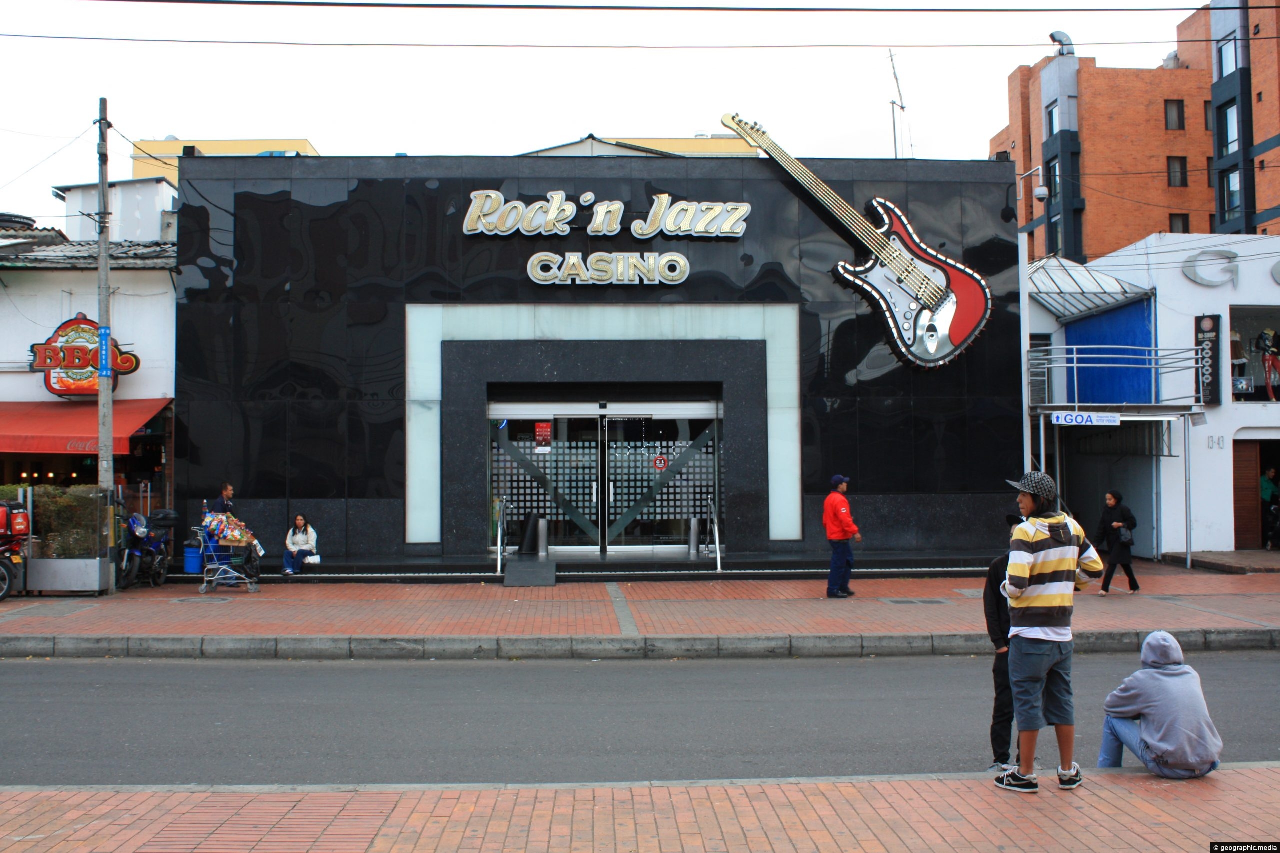
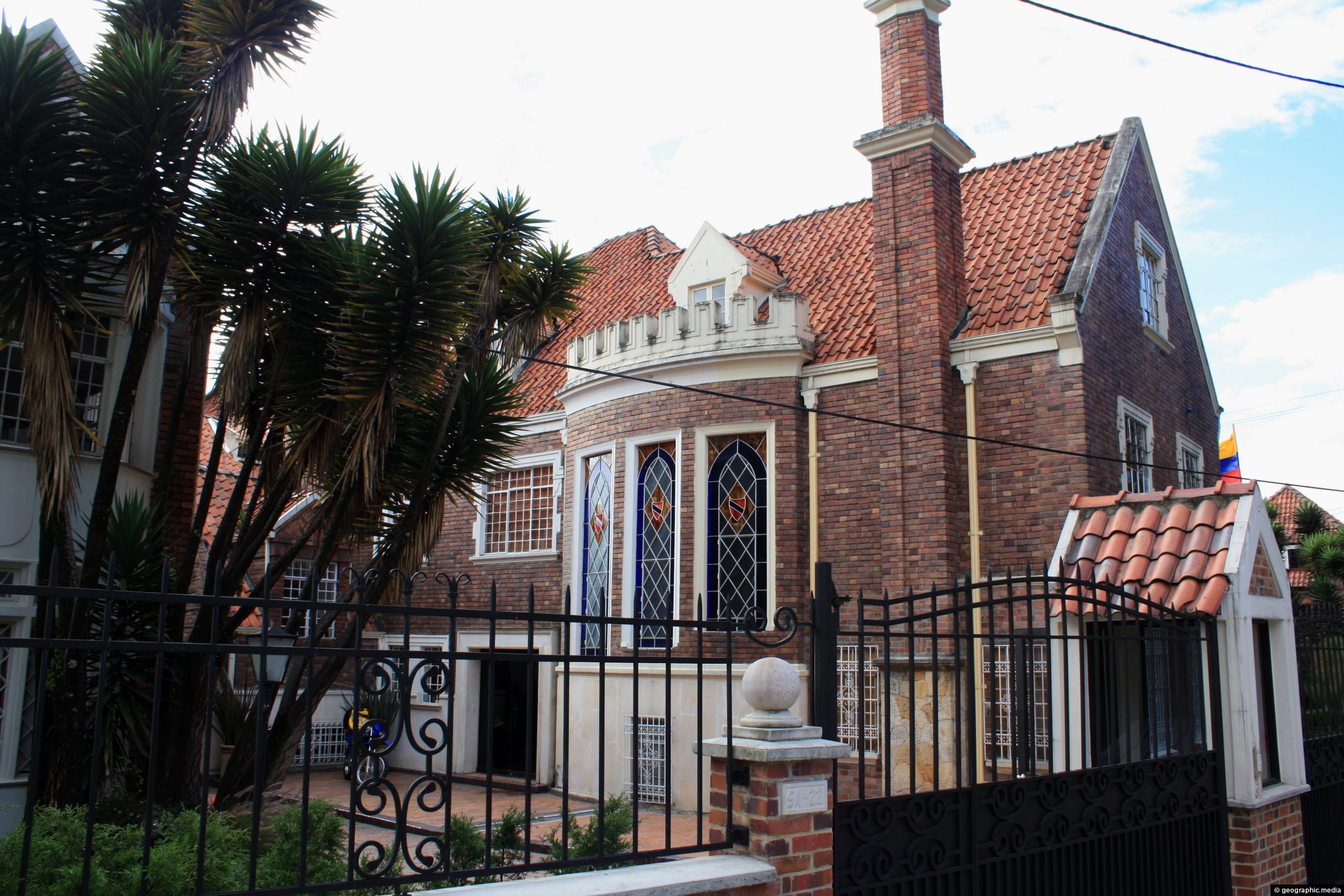
Calle 121 is a street located in the Usaquén neighborhood of Bogotá, Colombia. The street has some good examples of colonial architecture, that Usaquen is famous for.
ALL / Explore South America / Explore Colombia / Colombia Photos / Bogota photos / Calle 121 Usaquen Bogota
All original royalty-free photos, shareable maps, and informative articles.
Calle 121 Usaquen Bogota
Page Views
This post has been viewed 288 times
Related Articles
-
Santamaría Bullring
Bogota photos, Buildings, Cities, Homes, Landscape / Horizontal, Skyscrapers, Stadiums
Pictured is the Santamaría Bullring and nearby Park Towers near Bogota’s CBD. The bullring is still used for bull...
-
Cul-de-sac in Rosales Bogota
Bogota photos, Buildings, Cities, Homes, Landscape / Horizontal, Trees
A cul-de-sac in Rosales Bogota. The suburb is known for its parks, luxury apartment buildings, restaurants, and shops.
-
San Alejo Market in Bogota Colombia
Bogota photos, People, Portrait / Vertical
San Alejo Market is a flea market in Bogota that sells art, crafts, and souvenirs. It sells wares from...
-
40 Carrera 7 Bogota
Bogota photos, Buildings, Homes, Landscape / Horizontal, Skyscrapers
Looking upward at high-rise apartments located in 40 Carrera 7 in Bogotá, Colombia.
-
Santamaría Bullring in Bogota
Bogota photos, Buildings, Cities, Homes, Landscape / Horizontal, Skyscrapers, Stadiums
Pictured is the Santamaría Bullring and nearby Park Towers in Bogota, circa 2009. The bullring is still used for...
-
Downtown Bogota
Bogota photos, Buildings, Cities, Landscape / Horizontal, Roads, Skyscrapers
View of downtown Bogota the largest city in Colombia. Photo taken in 2002 shows the CBD with Carrera 10...
-
Monserrate Bogota
Bogota photos, Buildings, Churches, Landscape / Horizontal, Mountains
Monserrate is a mountain in Bogotá, Colombia, rising to over 3,000 meters above sea level. It is a prominent...
-
Avenida El Dorado in Bogota
Bogota photos, Buildings, Cities, Portrait / Vertical, Roads, Skyscrapers
Avenida El Dorado is a major avenue in Bogotá, Colombia. It runs east to west and connects several important...
0 Comments
Calendar
M | T | W | T | F | S | S |
---|---|---|---|---|---|---|
1 | 2 | |||||
3 | 4 | 5 | 6 | 7 | 8 | 9 |
10 | 11 | 12 | 13 | 14 | 15 | 16 |
17 | 18 | 19 | 20 | 21 | 22 | 23 |
24 | 25 | 26 | 27 | 28 |
Popular Posts
- Awakening New Zealand video (100)
- Iguazu Falls as seen from Brazil (87)
- Metrocable Medellin (78)
- Pauatahanui Inlet (69)
- Spinnaker Hill in Whitby Porirua (68)
- Spinnaker Hill View (68)
- View from Whitby (68)
- The Devil’s Throat (62)
- Aerial View of Iguazu Falls (61)
- Porirua Harbour & Papakowhai (57)
- Lake Wakatipu (57)
- Salto Rivadavia & Iguassu River (56)
- Lake Tekapo & Lupins (54)
- Nelson View (53)
- Salto Rivadavia Misiones Province (53)
- Cascadas at Iguazu (53)
Subjects
AccommodationAnimalsArchitectureBeachesBirdsBoatsBridgesBuildingsCarsChurchesCitiesCoralCultureExtra Wide HorizontalFlowersForestsHarborsHomesIslandsLakesLandscape / HorizontalMapsMenMonumentsMountainsPalmsParksPeoplePlantsPortrait / VerticalRiversRoadsRuralSeaShopsSkyscrapersSnowSunsetsTownsTrailsTransportTreesVideosVolcanicWaterfalls
Recent Comments
- Lance on Concrete Hut Wainuiomata
- Tony on Concrete Hut Wainuiomata
- DavidJ on Wellington Night Skyline
- Ben on Auckland City Skyline from Westhaven Marina in 1998
- Ben on Auckland Harbour Bridge view