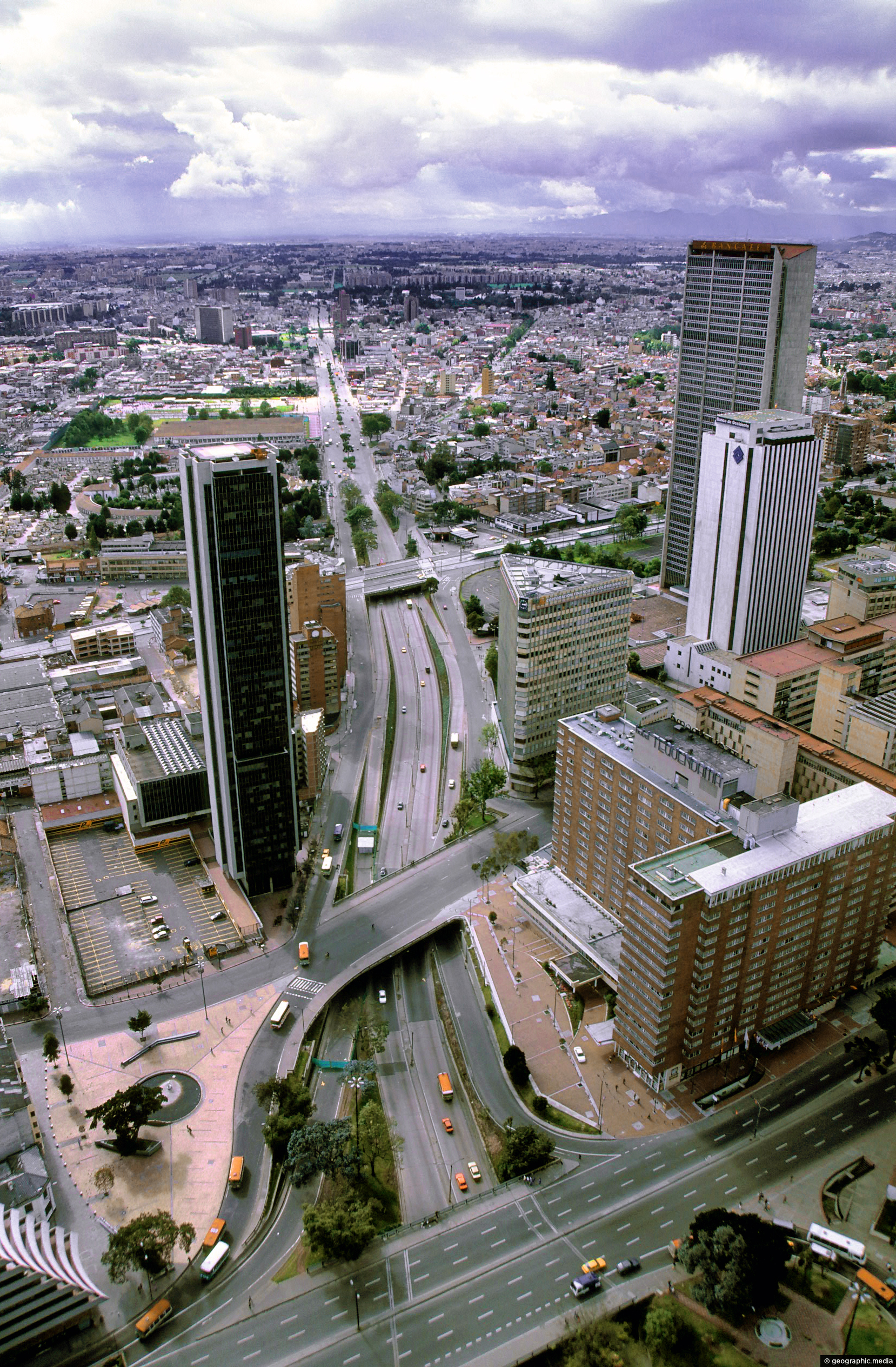
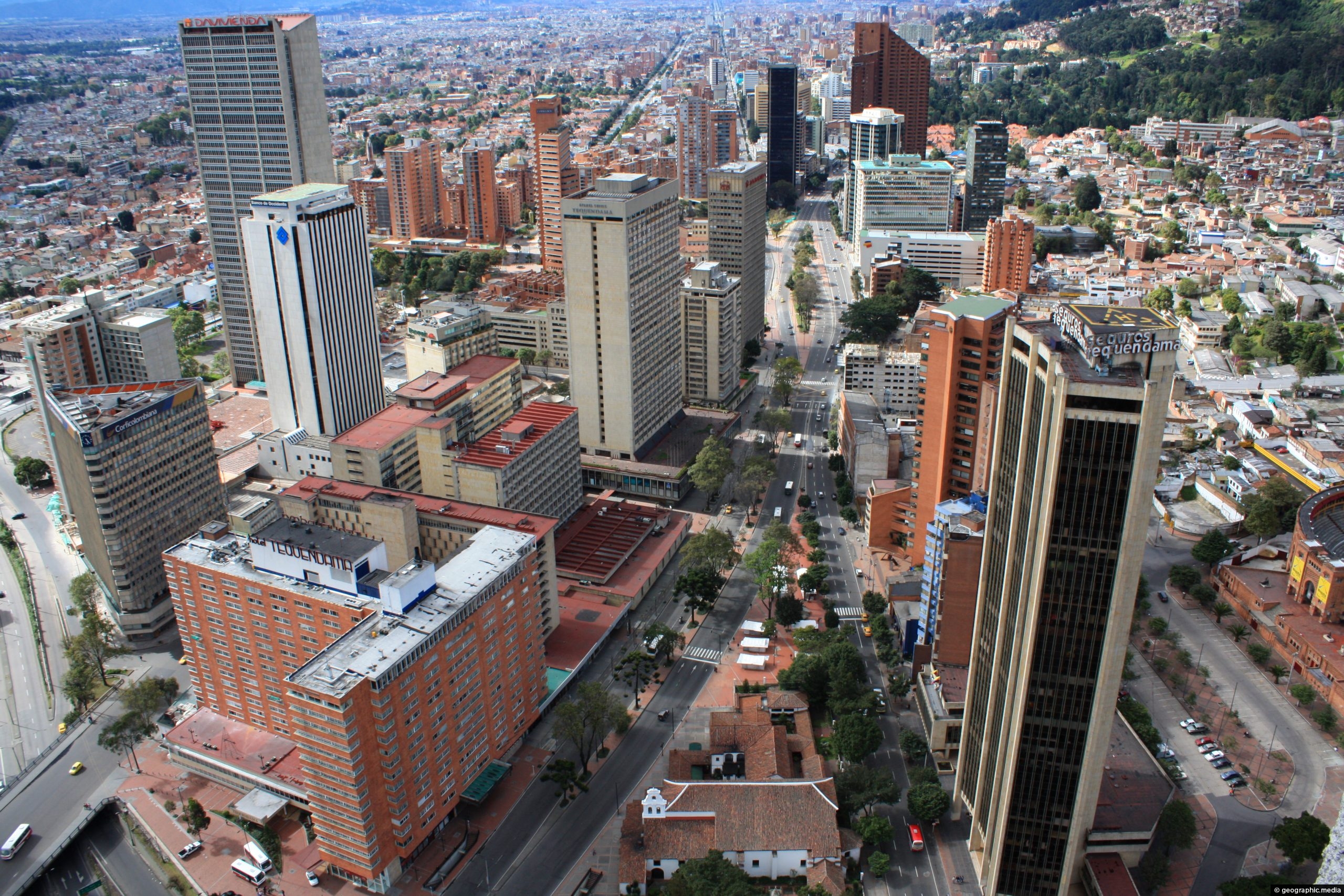
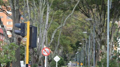
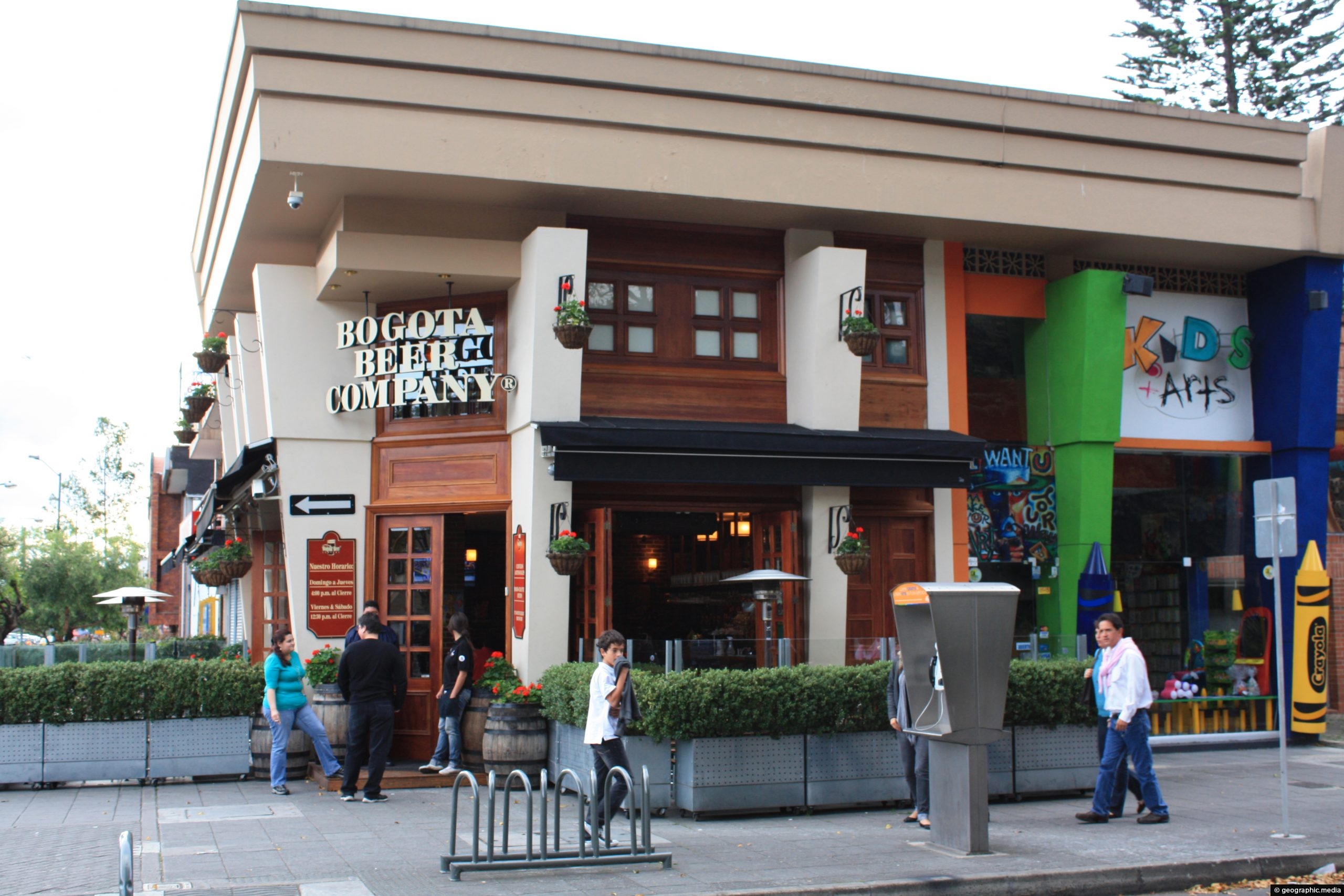
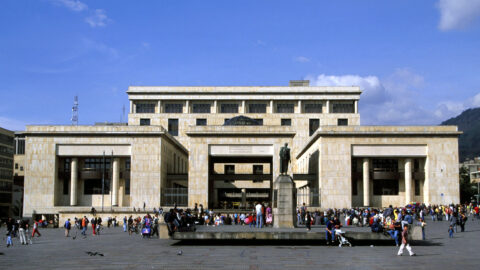
Avenida El Dorado is a major avenue in Bogotá, Colombia. It runs east to west and connects several important areas of the city, including the El Dorado International Airport, the financial district, and the neighborhoods of Kennedy and Fontibón. It is also a major transportation corridor, with several bus rapid transit (BRT) lines running along the avenue. Additionally, the avenue is home to many important government buildings, such as the Ministry of Foreign Affairs and the Administrative Department of Security. The avenue is also known for many commercial centers, restaurants, and hotels.
ALL / Explore South America / Explore Colombia / Colombia Photos / Bogota photos / Avenida El Dorado in Bogota
All original royalty-free photos, shareable maps, and informative articles.
Avenida El Dorado in Bogota
Page Views
This post has been viewed 619 times
Related Articles
-
Trees and Apartments in Rosales
Bogota photos, Buildings, Cities, Flowers, Homes, Landscape / Horizontal, Trees
View of trees, flowers and luxury apartment buildings in the exclusive suburb of Rosales in Bogota Colombia.
-
Apartments in Rosales Bogotá
Bogota photos, Buildings, Cities, Homes, Landscape / Horizontal, Roads
Rosales is a neighborhood located in the northwestern part of Bogotá, Colombia. It is considered one of the most...
-
South-eastern Bogota
Bogota photos, Buildings, Cities, Landscape / Horizontal, Skyscrapers
View of a section of south-eastern Bogota as seen from a building in the CBD.
-
40 Carrera 7 Bogota
Bogota photos, Buildings, Homes, Landscape / Horizontal, Skyscrapers
Looking upward at high-rise apartments located in 40 Carrera 7 in Bogotá, Colombia.
-
Stately Home in La Merced Bogota
Bogota photos, Buildings, Homes, Landscape / Horizontal
Looking at a stately home in the Bogota suburb of La Merced. Originally constructed by BP Oil for their...
-
La Merced Colonial Architecture
Bogota photos, Architecture, Buildings, Homes, Landscape / Horizontal
La Merced is known for its colonial architecture. Many houses here have been renovated and restored to preserve their...
-
Autopista Norte Bogota
Bogota photos, Buildings, Buses, Cars, Cities, Landscape / Horizontal, Roads
Autopista Norte (North Highway) is a major highway in Bogotá, Colombia. It connects the northern part of the city...
-
Bogota Canals
Bogota photos, Landscape / Horizontal, Parks, Rivers, Trees
Bogota city in Colombia has a network of canals that for part of the city’s drainage system. Some canals...
0 Comments
Calendar
M | T | W | T | F | S | S |
---|---|---|---|---|---|---|
1 | 2 | 3 | 4 | 5 | 6 | |
7 | 8 | 9 | 10 | 11 | 12 | 13 |
14 | 15 | 16 | 17 | 18 | 19 | 20 |
21 | 22 | 23 | 24 | 25 | 26 | 27 |
28 | 29 | 30 |
Popular Posts
- Awakening New Zealand video (100)
- Iguazu Falls as seen from Brazil (87)
- Metrocable Medellin (78)
- Pauatahanui Inlet (69)
- Spinnaker Hill in Whitby Porirua (68)
- Spinnaker Hill View (68)
- View from Whitby (68)
- The Devil’s Throat (62)
- Aerial View of Iguazu Falls (61)
- Porirua Harbour & Papakowhai (57)
- Lake Wakatipu (57)
- Salto Rivadavia & Iguassu River (56)
- Lake Tekapo & Lupins (54)
- Nelson View (53)
- Salto Rivadavia Misiones Province (53)
- Cascadas at Iguazu (53)
Subjects
AccommodationAnimalsArchitectureBeachesBirdsBoatsBridgesBuildingsCarsChurchesCitiesCoralCultureExtra Wide HorizontalFlowersForestsHarborsHomesIslandsLakesLandscape / HorizontalMapsMenMonumentsMountainsPalmsParksPeoplePlantsPortrait / VerticalRiversRoadsRuralSeaShopsSkyscrapersSnowSunsetsTownsTrailsTransportTreesVideosVolcanicWaterfalls
Recent Comments
- Lance on Concrete Hut Wainuiomata
- Tony on Concrete Hut Wainuiomata
- DavidJ on Wellington Night Skyline
- Ben on Auckland City Skyline from Westhaven Marina in 1998
- Ben on Auckland Harbour Bridge view