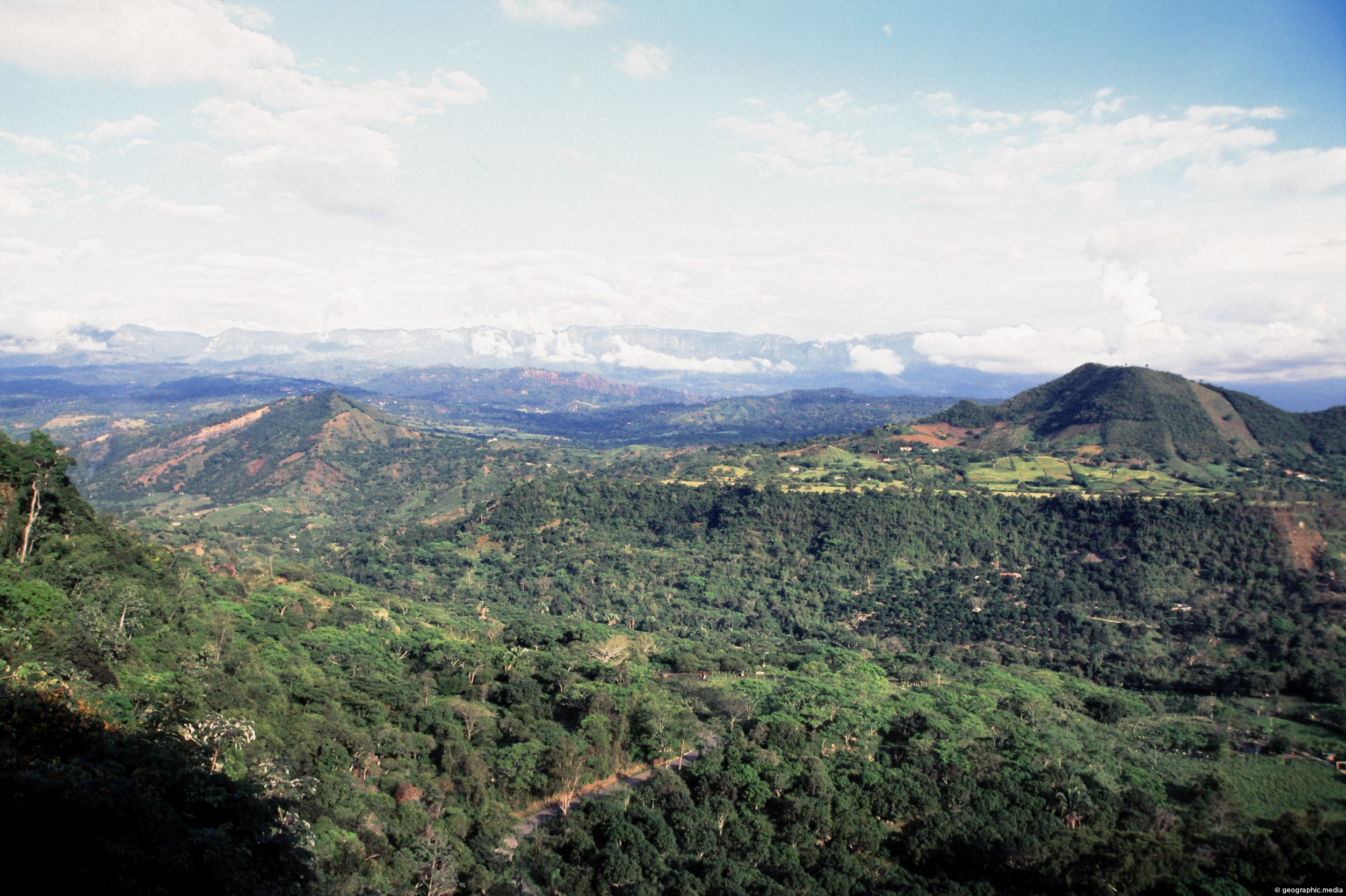
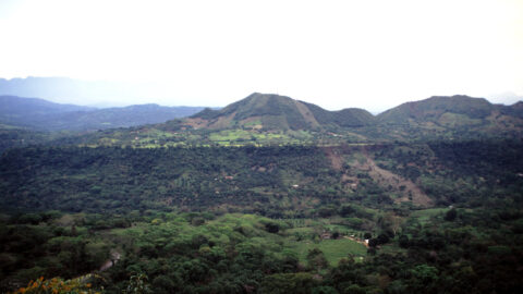
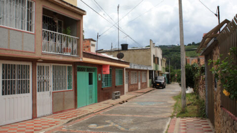
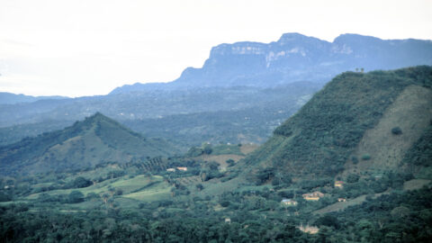
Anapoima and the surrounding rural landscapes occupy the lower flanks of the Andes mountain range. Bogota sits atop this range in the distant background.
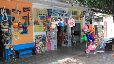
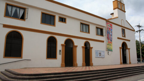
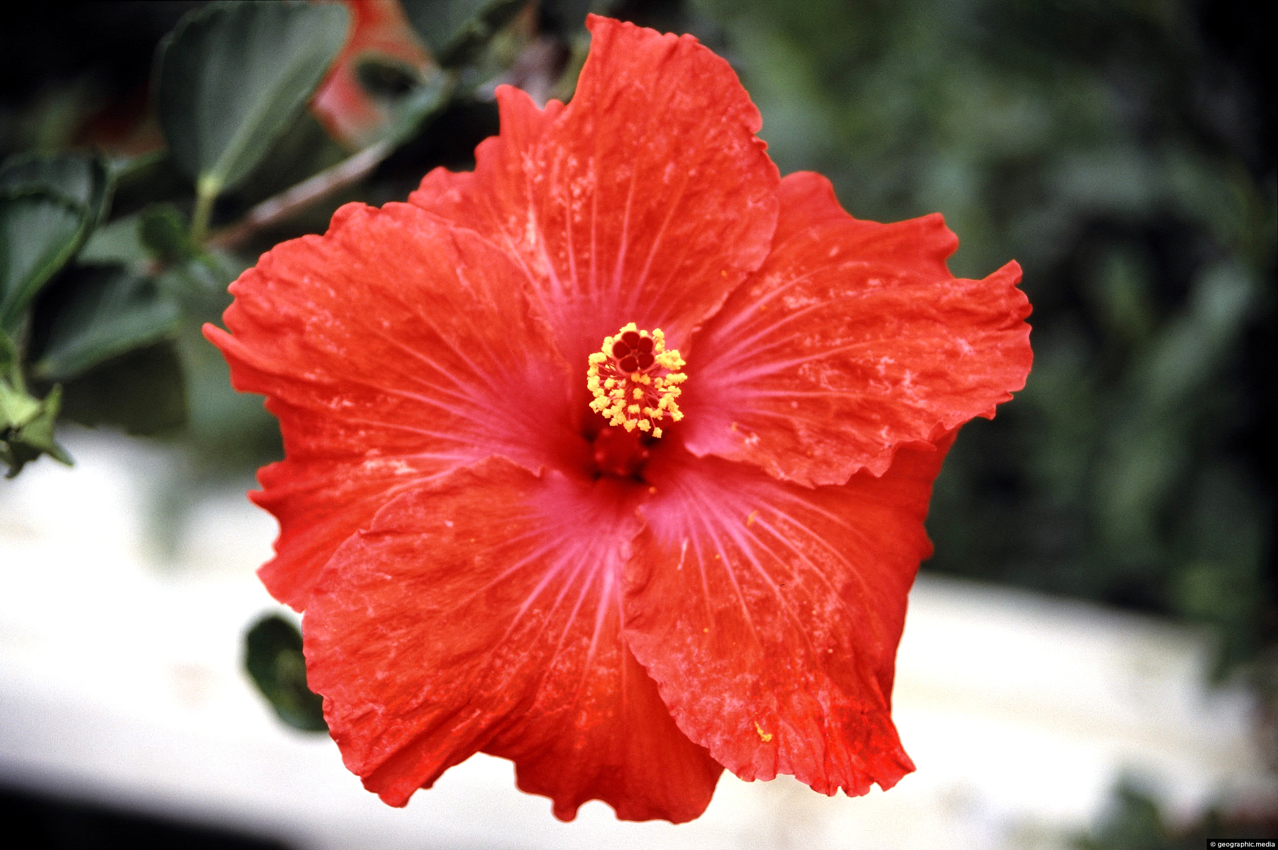
ALL / Explore South America / Explore Colombia / Colombia Photos / Anapoima photos / Rural Landscape Anapoima
All original royalty-free photos, shareable maps, and informative articles.
Rural Landscape Anapoima
Page Views
This post has been viewed 309 times
Related Articles
-
Farmland in Anapoima Colombia
Anapoima photos, Landscape / Horizontal, Rural
Anapoima is located among farmland near the city of Bogota. At an altitude of 700 meters above sea level,...
-
Carrera 2 Anapoima
Anapoima photos, Landscape / Horizontal, Roads
View of Carrera 2 in Anapoima which borders the town’s main square. The Church of Santa Ana can be...
-
Child Carrying Water
Anapoima photos, Children, People, Portrait / Vertical
A child carrying water on a rural path to his home and farm on the outskirts of Anapoima, a...
-
Main Square in Anapoima
Anapoima photos, Landscape / Horizontal, Towns
View of the main square in Anapoima. This is the heart of the town where the main buildings are...
-
Rural Anapoima
Anapoima photos, Landscape / Horizontal, Rural
View of rural countryside just outside the town of Anapoima. The land is used for farming and crops. Above...
-
Banana Farm in Anapoima
Anapoima photos, Landscape / Horizontal, Rural
View of a banana farm in the hills that surround Anapoima. This area has a suitable climate and soil...
-
Anapoima Town
Anapoima photos, Landscape / Horizontal, Rural, Towns
Looking at the town of Anapoima from the surrounding countryside and forest. The town is located on the flanks...
-
Lollipop Plant
Anapoima photos, Flowers, Portrait / Vertical
Lollipop Plant or Golden Shrimp Plant (Pachystachys Lutea) native range is from El Salvador in Central America to Peru...
0 Comments
Calendar
M | T | W | T | F | S | S |
---|---|---|---|---|---|---|
1 | 2 | 3 | 4 | |||
5 | 6 | 7 | 8 | 9 | 10 | 11 |
12 | 13 | 14 | 15 | 16 | 17 | 18 |
19 | 20 | 21 | 22 | 23 | 24 | 25 |
26 | 27 | 28 | 29 | 30 | 31 |
Popular Posts
- Awakening New Zealand video (100)
- Iguazu Falls as seen from Brazil (87)
- Metrocable Medellin (78)
- Pauatahanui Inlet (69)
- Spinnaker Hill in Whitby Porirua (68)
- Spinnaker Hill View (68)
- View from Whitby (68)
- The Devil’s Throat (62)
- Aerial View of Iguazu Falls (61)
- Porirua Harbour & Papakowhai (57)
- Lake Wakatipu (57)
- Salto Rivadavia & Iguassu River (56)
- Lake Tekapo & Lupins (54)
- Nelson View (53)
- Salto Rivadavia Misiones Province (53)
- Cascadas at Iguazu (53)
Subjects
AccommodationAnimalsArchitectureBeachesBirdsBoatsBridgesBuildingsCarsChurchesCitiesCoralCultureExtra Wide HorizontalFlowersForestsHarborsHomesIslandsLakesLandscape / HorizontalMapsMenMonumentsMountainsPalmsParksPeoplePlantsPortrait / VerticalRiversRoadsRuralSeaShopsSkyscrapersSnowSunsetsTownsTrailsTransportTreesVideosVolcanicWaterfalls
Recent Comments
- Lance on Concrete Hut Wainuiomata
- Tony on Concrete Hut Wainuiomata
- DavidJ on Wellington Night Skyline
- Ben on Auckland City Skyline from Westhaven Marina in 1998
- Ben on Auckland Harbour Bridge view